Klamath Basin + Crater Lake + Drought

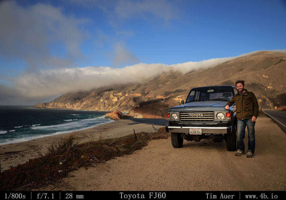
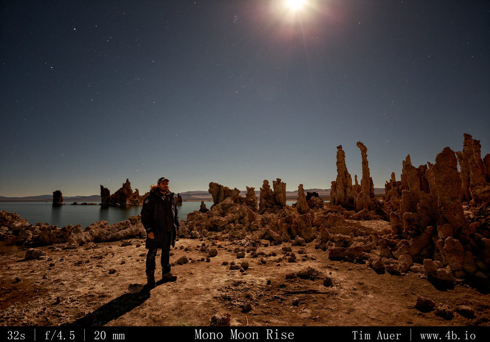
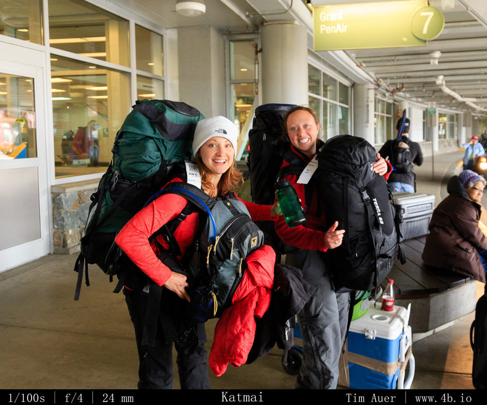
1324 miles driven over the last 48 hours made for an epic weekend warrior trip.  This time, I drove north to explore what is (in my opinion) true Northern California. I left work at 15:30 on Friday and drove north for 8.5 hours (the Friday rush didn’t help my time). I didn’t leave California once during those 8+ hours.  I came as close as could to leaving the state, by skirting the Oregon border for the last 30 miles, but I didn’t actually cross over.  Northern California is big.  For a state that seems to define LA as being southern California, and SF being northern, I wonder if the first person that made this generalization ever consulted a map…anyway,  I finally reached my destination Tulelake at midnight and camped (if I dare to call sleeping in parking lot car at a wildlife overlook ‘camping’) near Lava Beds National Monument.  I was up before the sun Saturday morning, and I stayed in the Tulelake area the first half of the day, before finally crossing the Oregon border and headed up to Crater Lake. I found my way back into California later that night and “camped” in the middle of the Klamath Basin wildlife refuge and waited for the sunrise to come.  By mid-morning, I pointed my car south and made the long, but enjoyable drive back home, which took only a brief 7 hours in this direction and got me home in time to catch the start of the 49ers game.  So the question is why would I drive so far for such a short trip? And no, I don’t even get the 3-day MLK holiday weekend.   When it comes to my decision making process, it is unclear if there is logic or impulse driving it, and this trip was no different, but there were many other important compelling reasons to go on this adventure, but I will narrow it down to two:

(1) Bald Eagles

(2) Snow

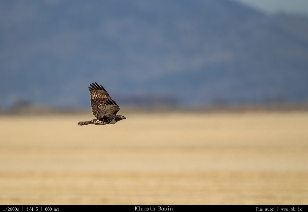
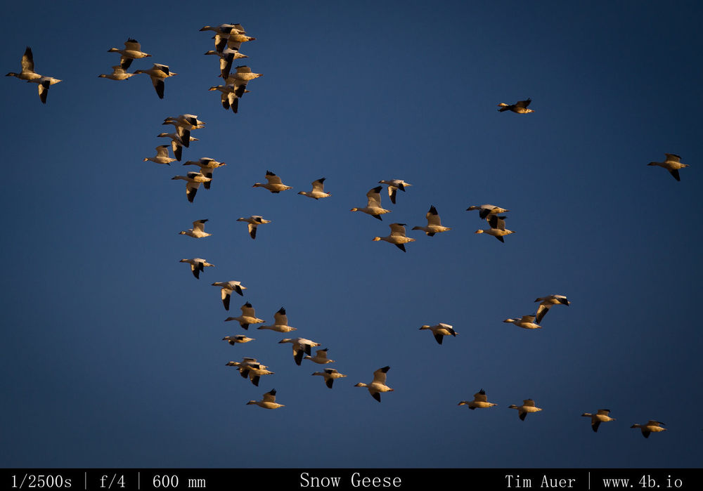
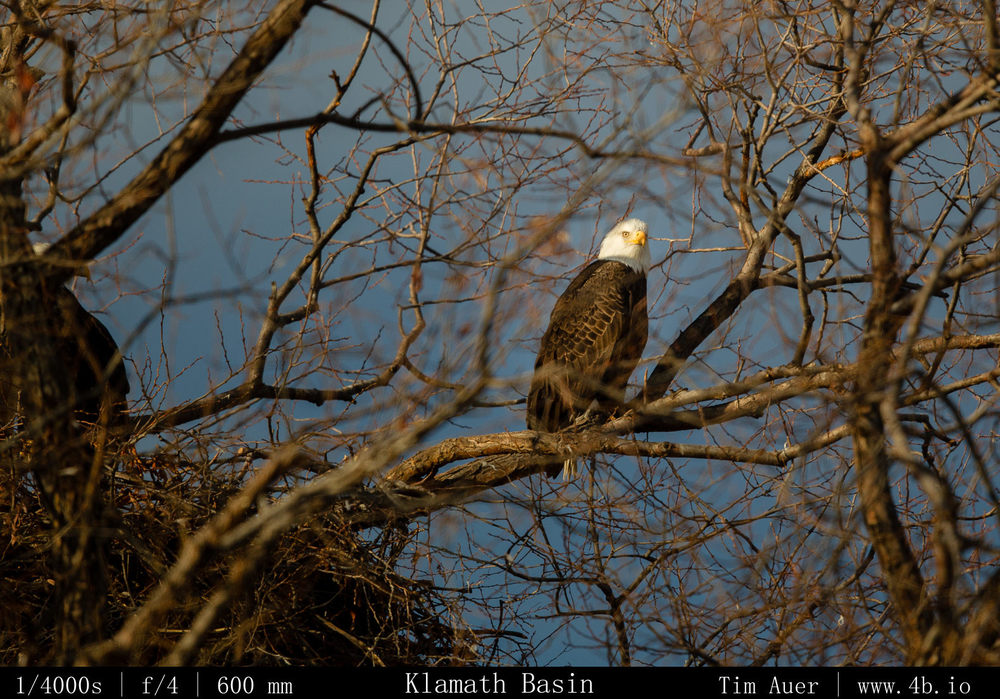
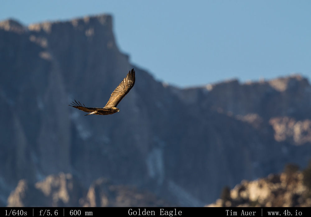
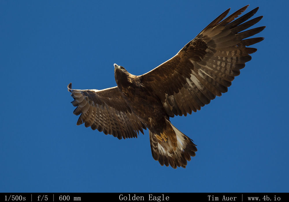
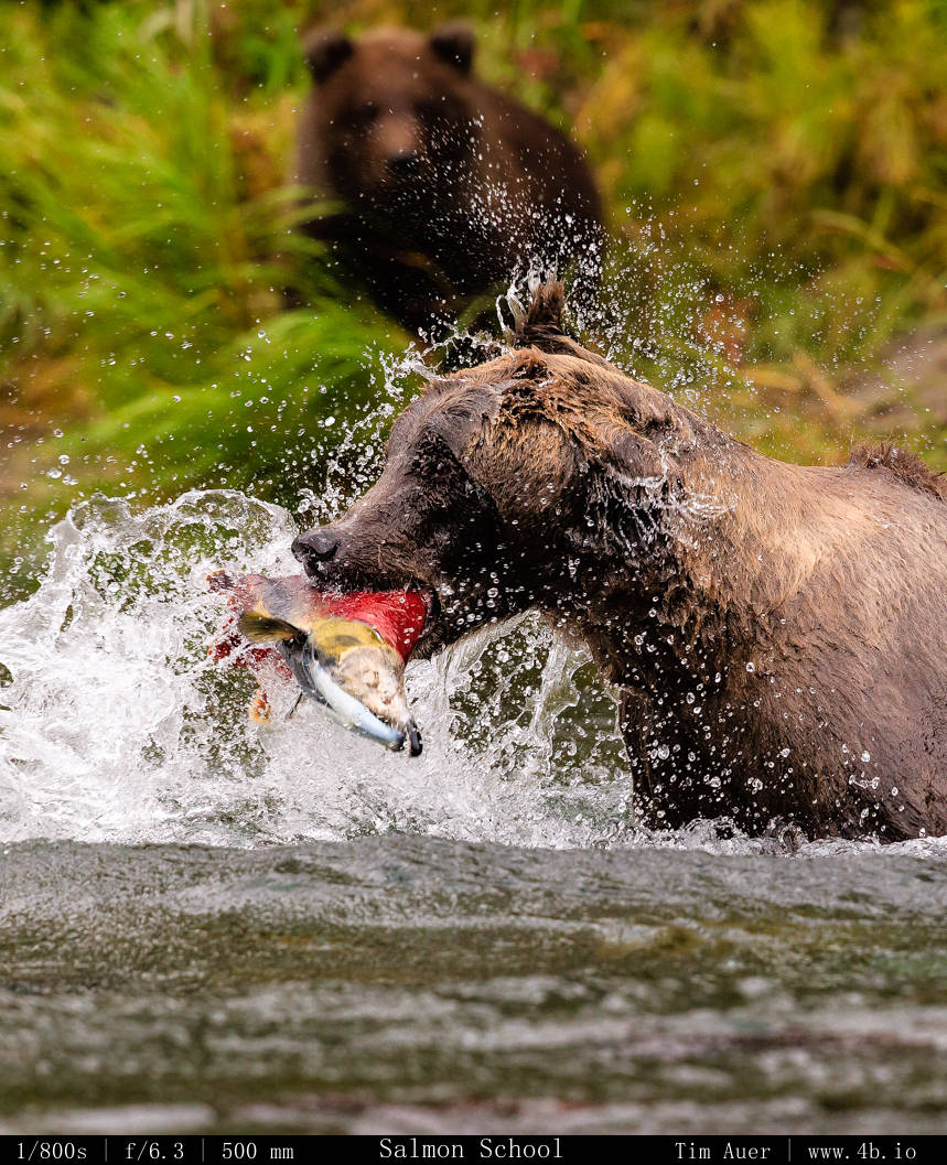
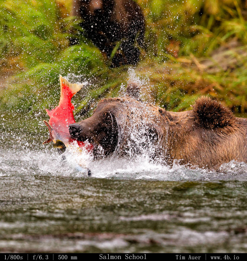
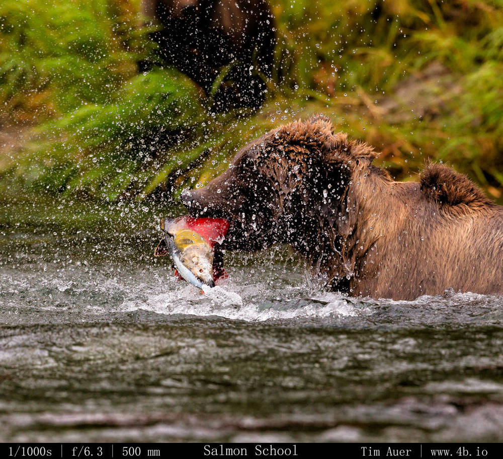
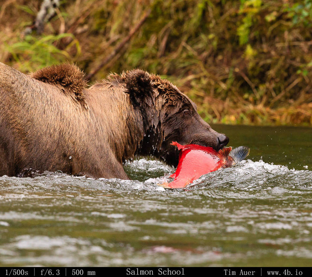
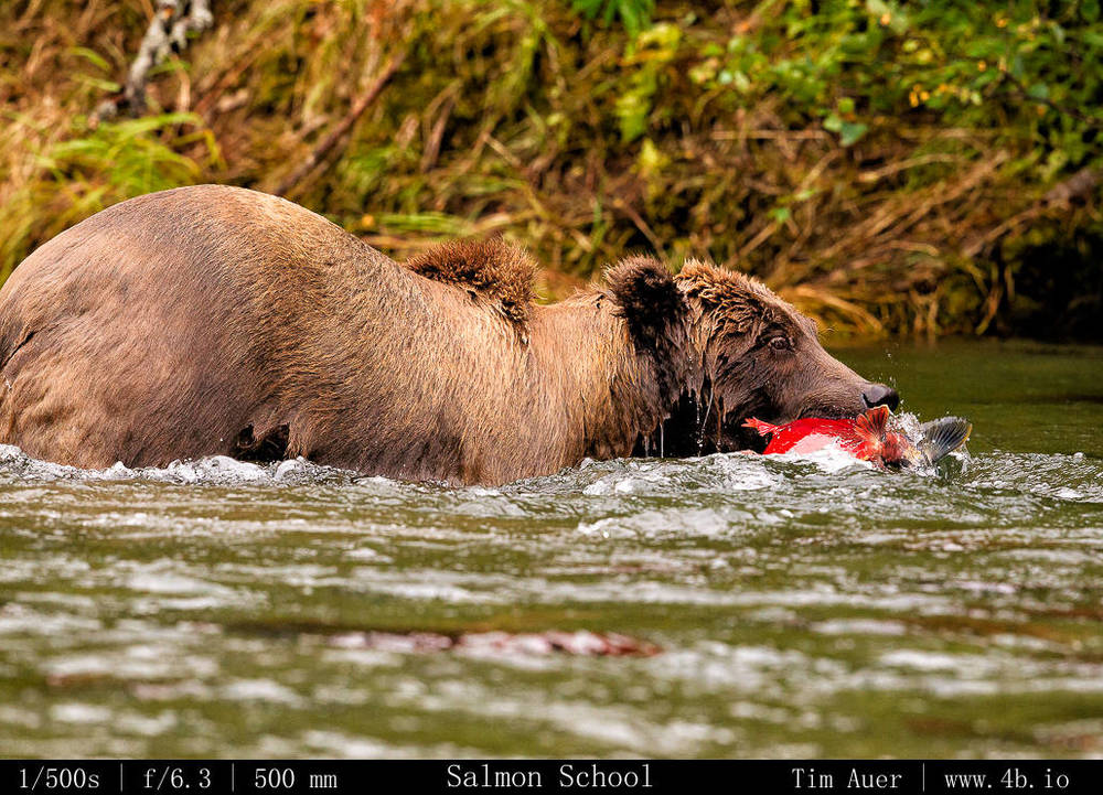
(1) Bald Eagles – The Klamath Basin is considered to be the preeminent location in the lower 48 to view wintering bald eagles. They are funneled from their summer territories in Alaska and northern Canada down the Pacific Flyway to these wetlands along the California/Oregon border.  Here they amass in large numbers and feed on the snow geese that are also wintering over here.  Well, I don’t know what was wrong, but the results weren’t exactly “good” in terms of eagle activity.  I saw about 8-10 bald eagles, but only one in flight, and none fishing or feeding. There weren’t many waterfowl there either.  I don’t quite know what is going on, and plan to investigate this further to understand why, but I wouldn’t be surprised if it has something to with the lack of reason (2)…

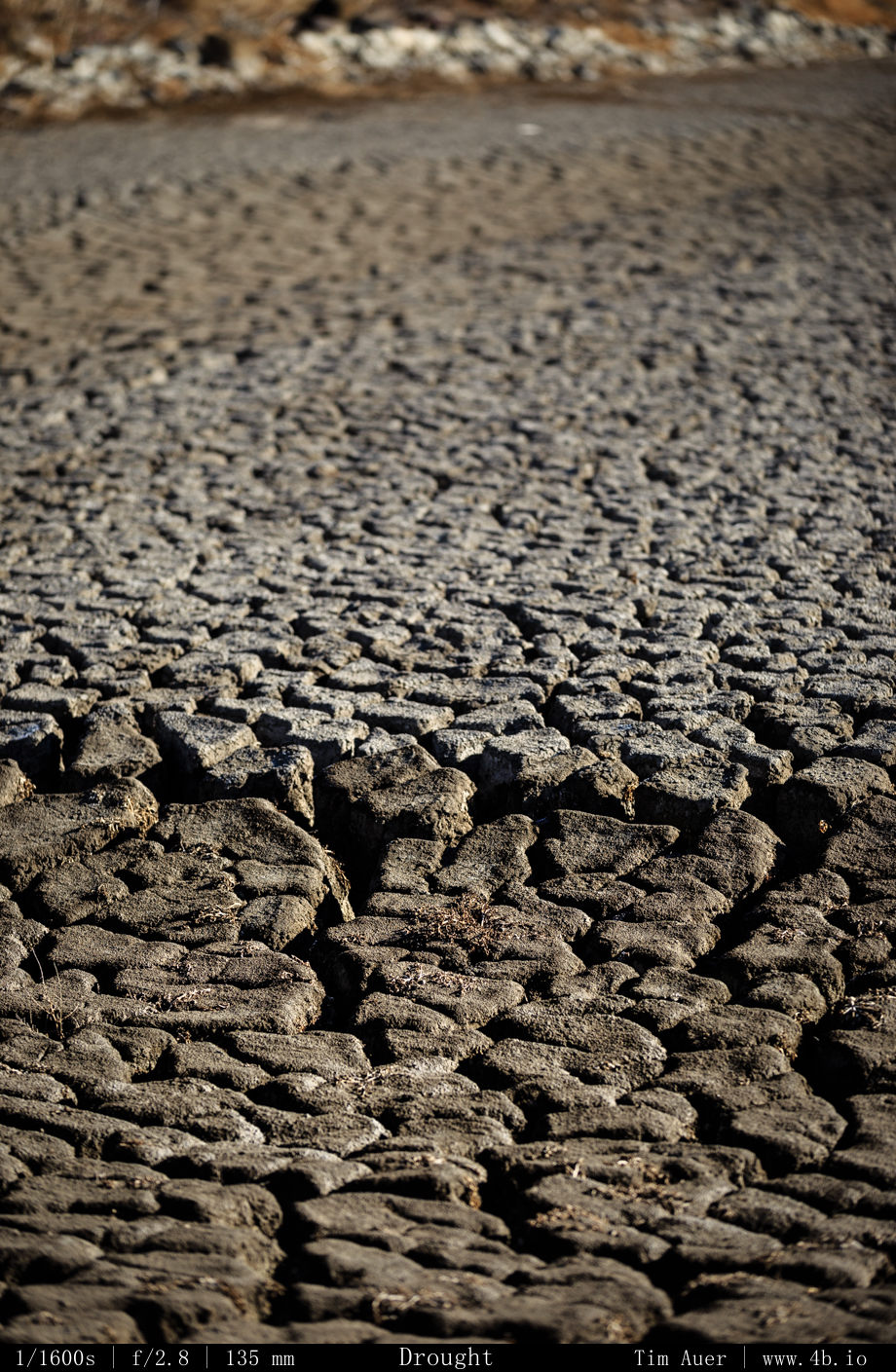
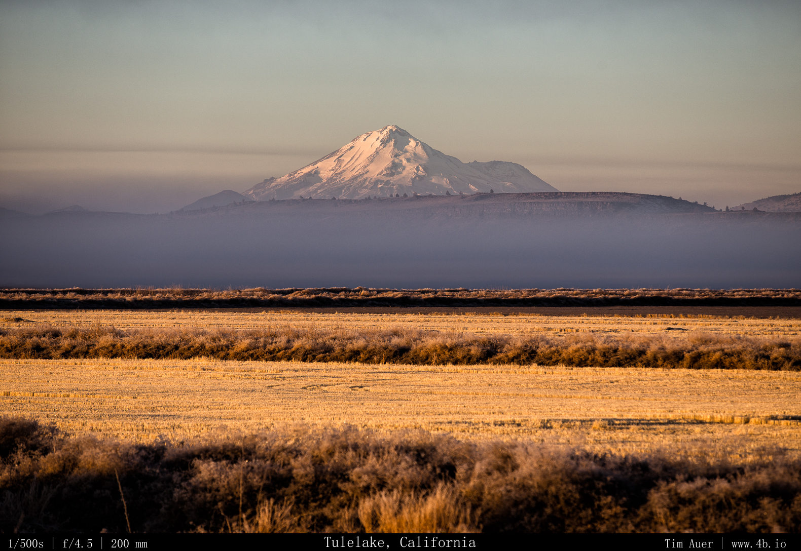
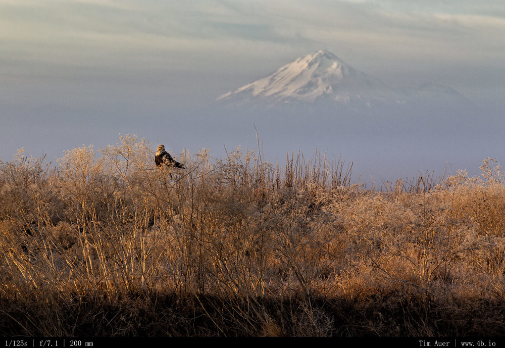
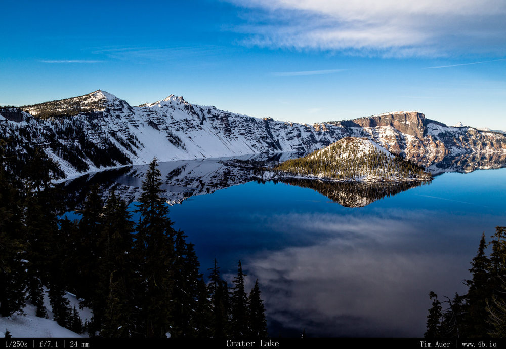
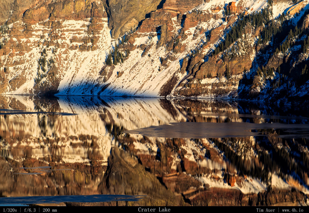
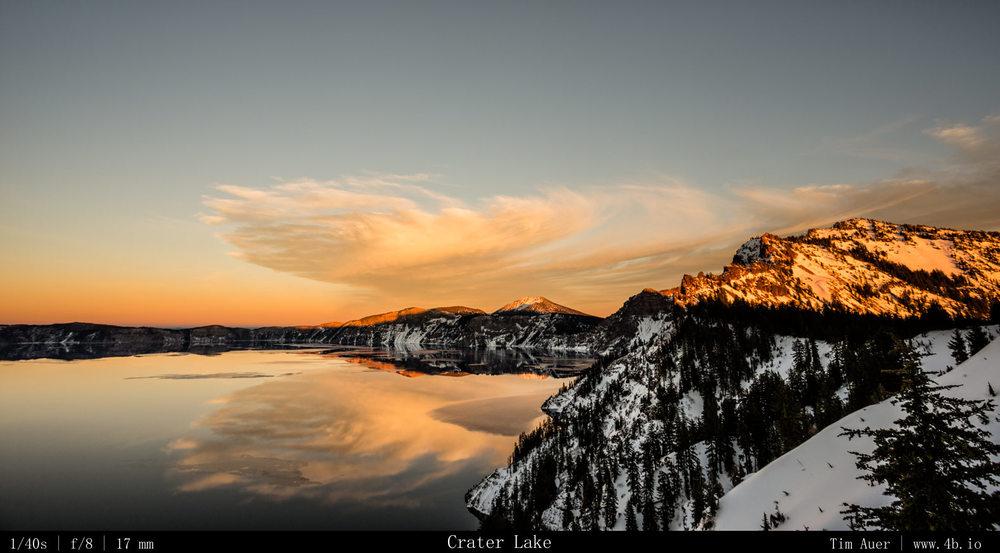
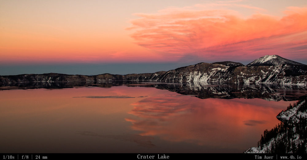
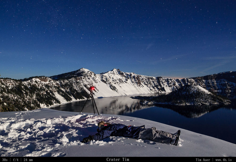
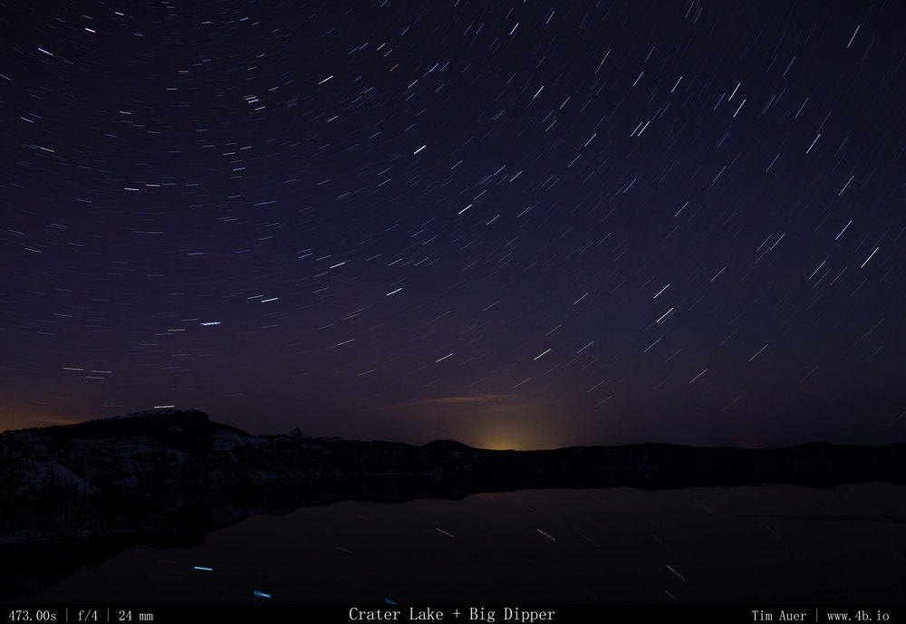
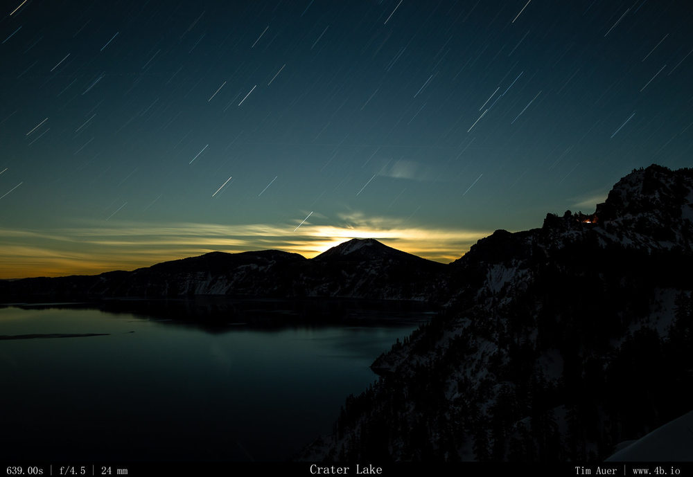
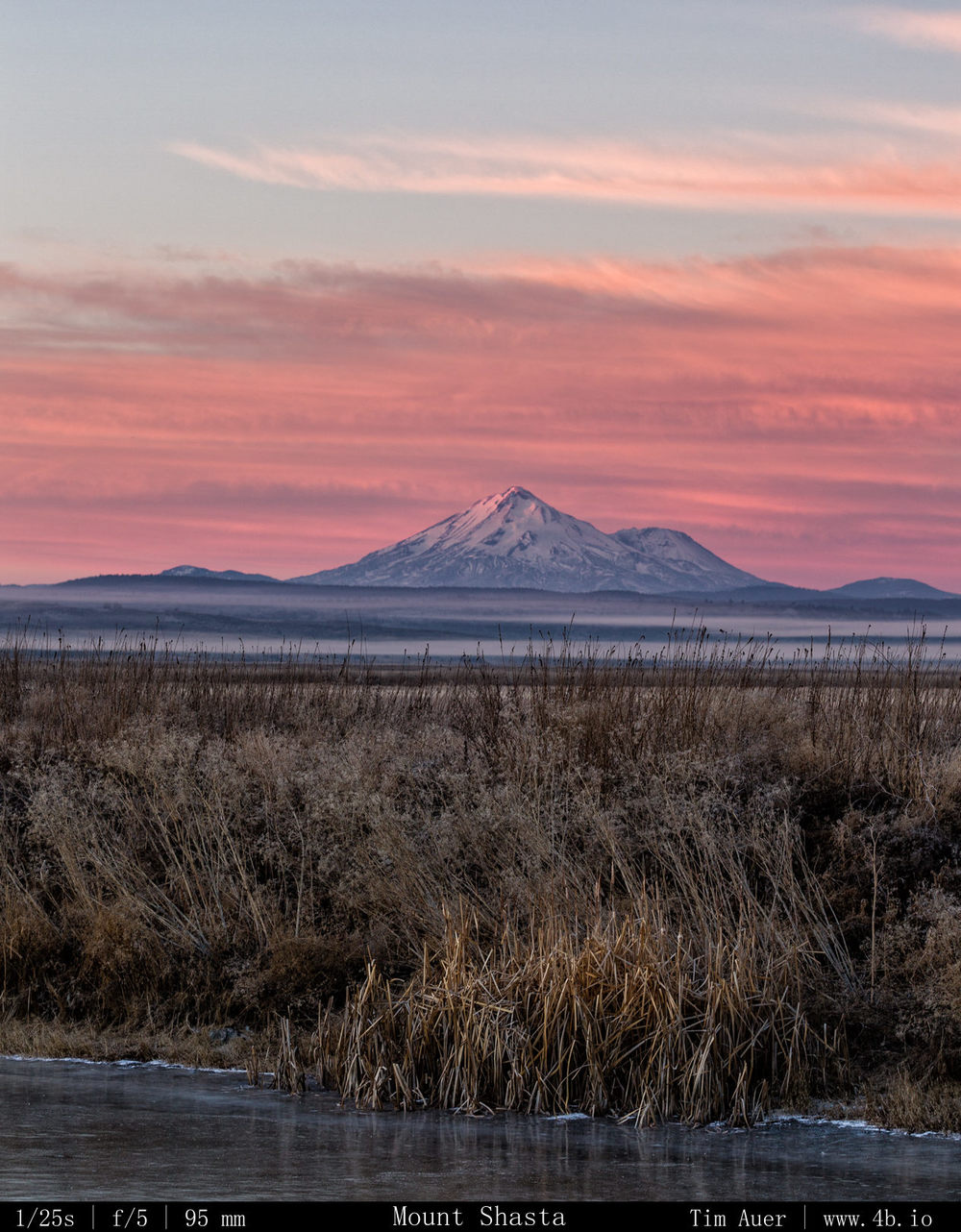
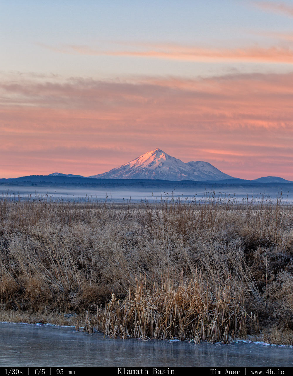
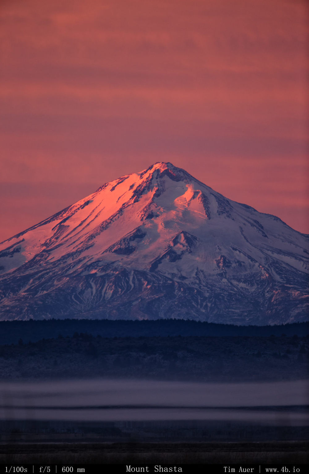
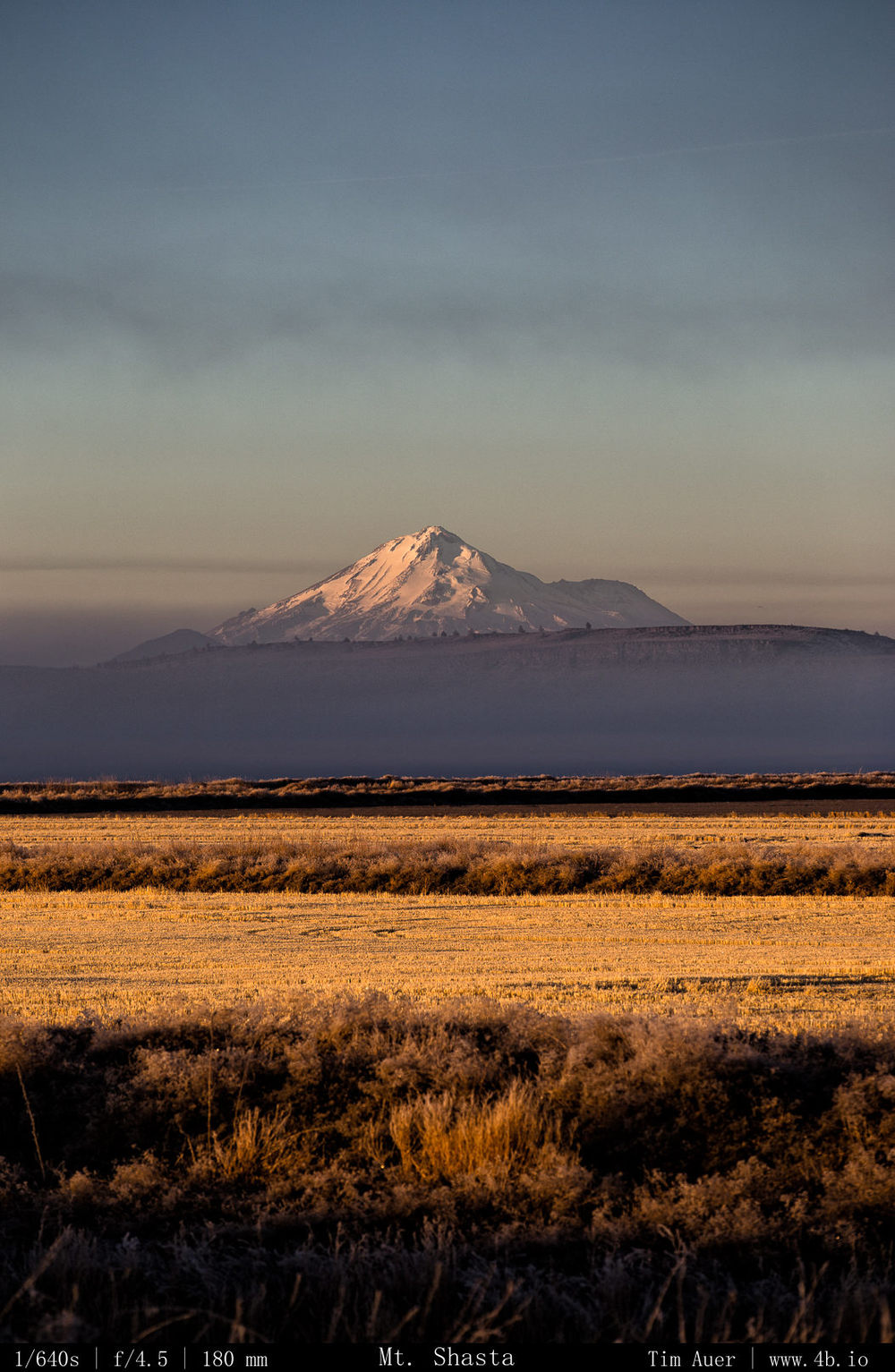
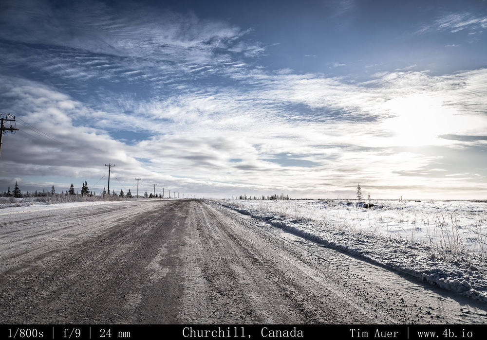
(2) Snow – California is in the midst of a god awful drought, and it is bad for everything here.  The Sierra’s don’t have any snow, which means the water supply won’t be replenished for both human and nonhuman organisms.  In fact, it is so serious I don’t even want to mention how this will impact the prospects of a California ski season (or photographing Horsetail Falls in February).  In the scheme of things, none of that seems particularly important. It is literally drying up and catching fire here. “Southern” California is burning up as we speak with a man-made fire. While not unusual for a state accustomed to wildfire, anyone could tell you that they typically don’t happen during the “wet season” of January. The drought’s impact was made crystal clear on this weekend’s drive.  There was no snow anywhere in the Klamath Basin, it was still cold (nighttime temps around 5 F), there just wasn’t any moisture.  Even Mount Shasta looked strange and uneven.  The north and eastern faces appeared to have a lot of snow, but the western face, as viewed from Weed, CA was barren and brown.  (I also want to investigate the exact reasons behind this too).  I did eventually find snow, when I drove north two hour to Crater Lake. But the news wasn’t great there either, while there was about 3-4 feet of snow covering the rim, this is only 24% of the average snow level for this date. 
 

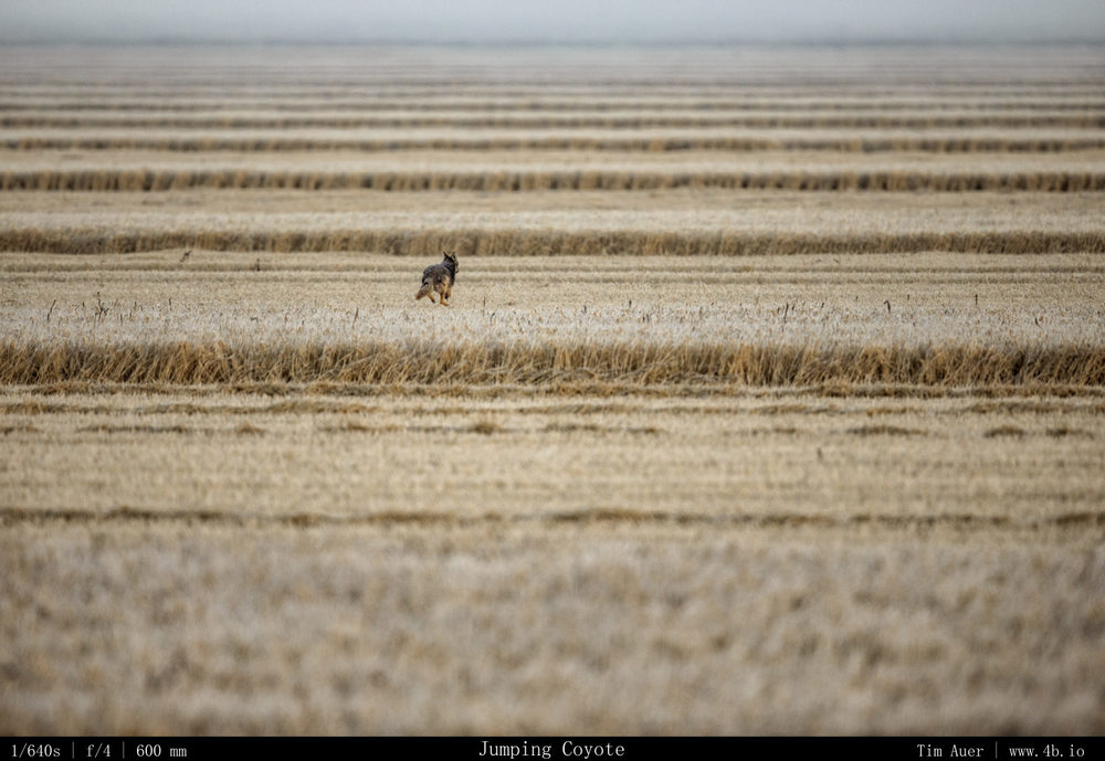
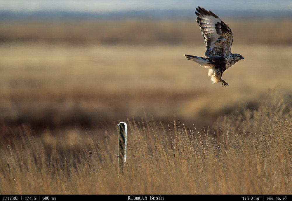
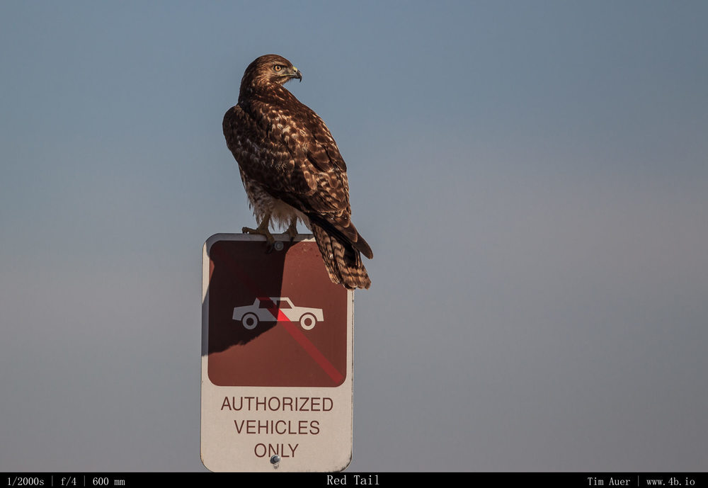
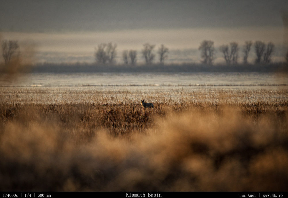
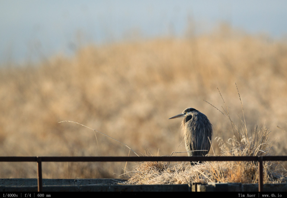
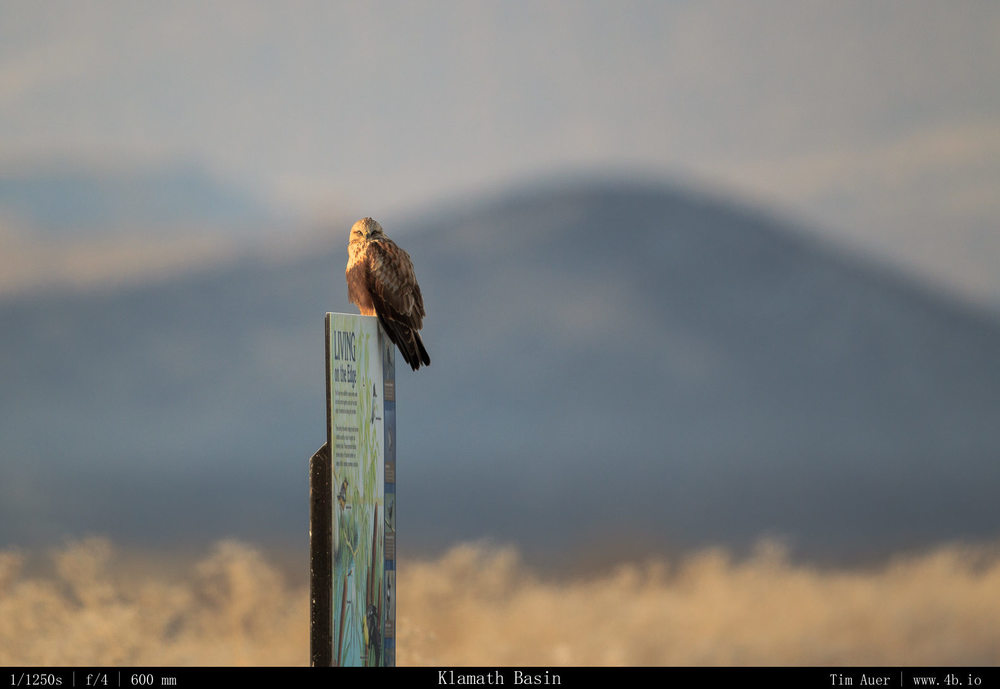
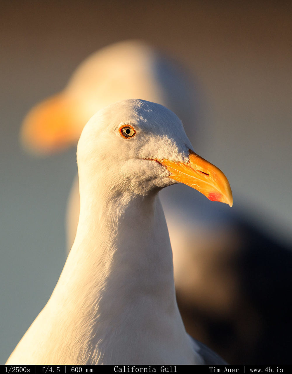
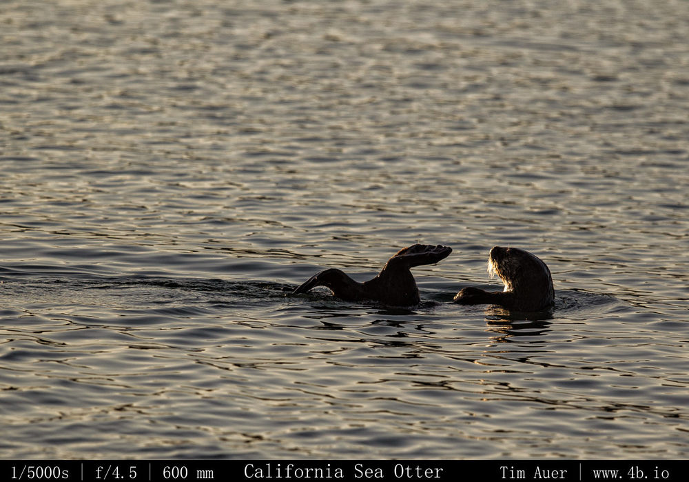
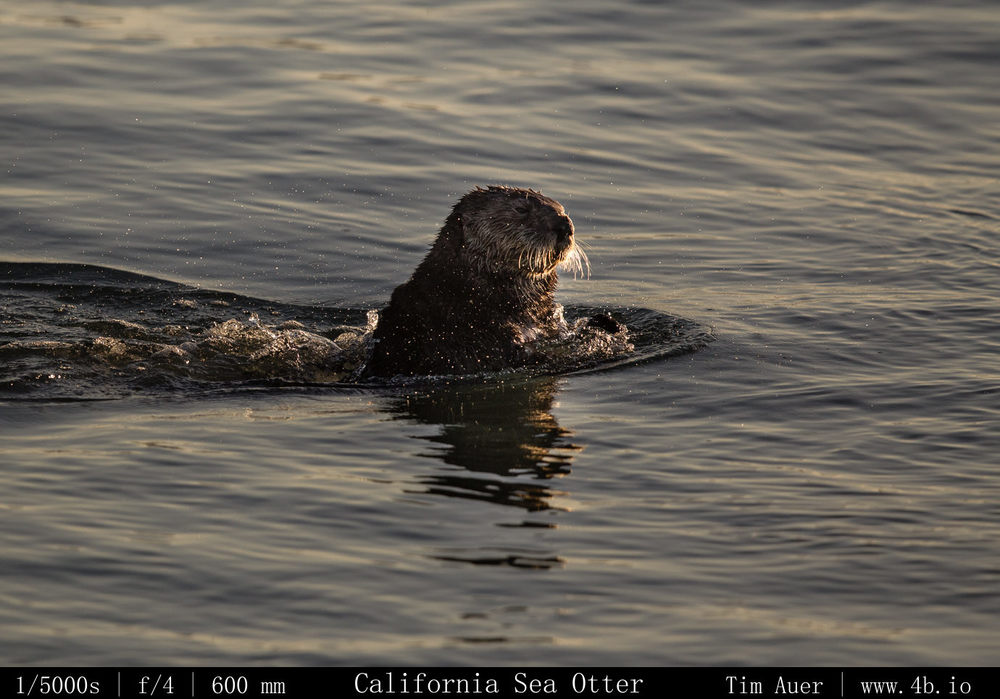
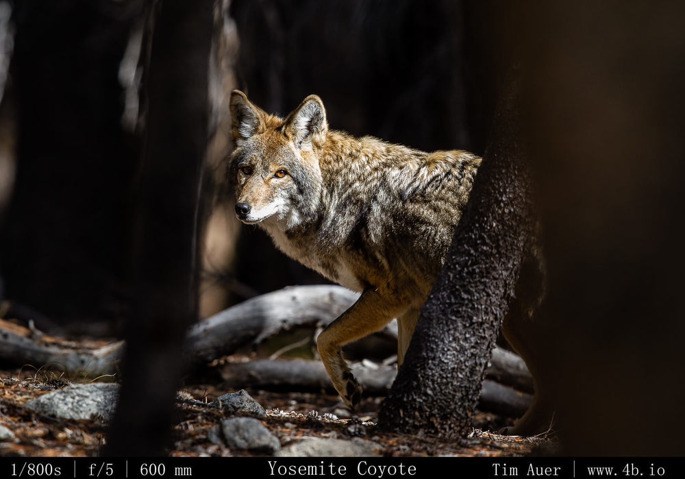
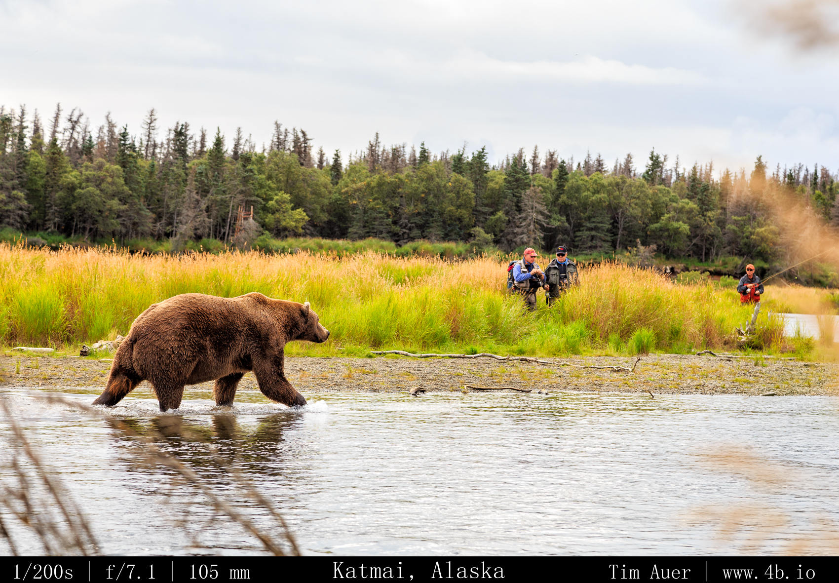
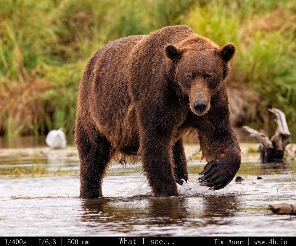
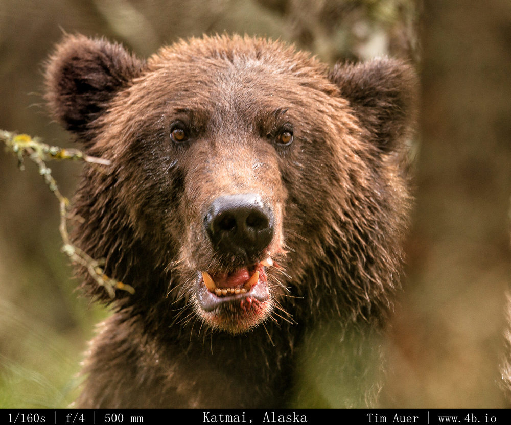
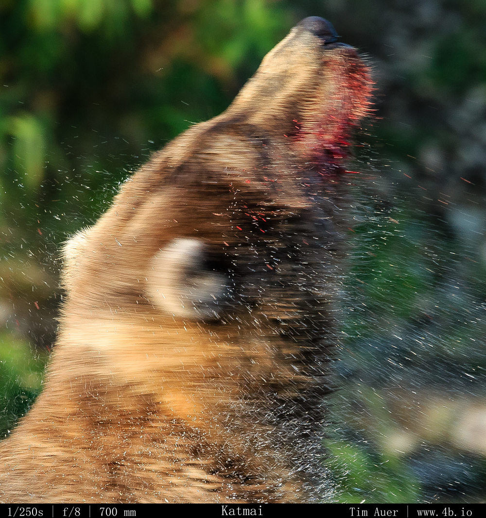
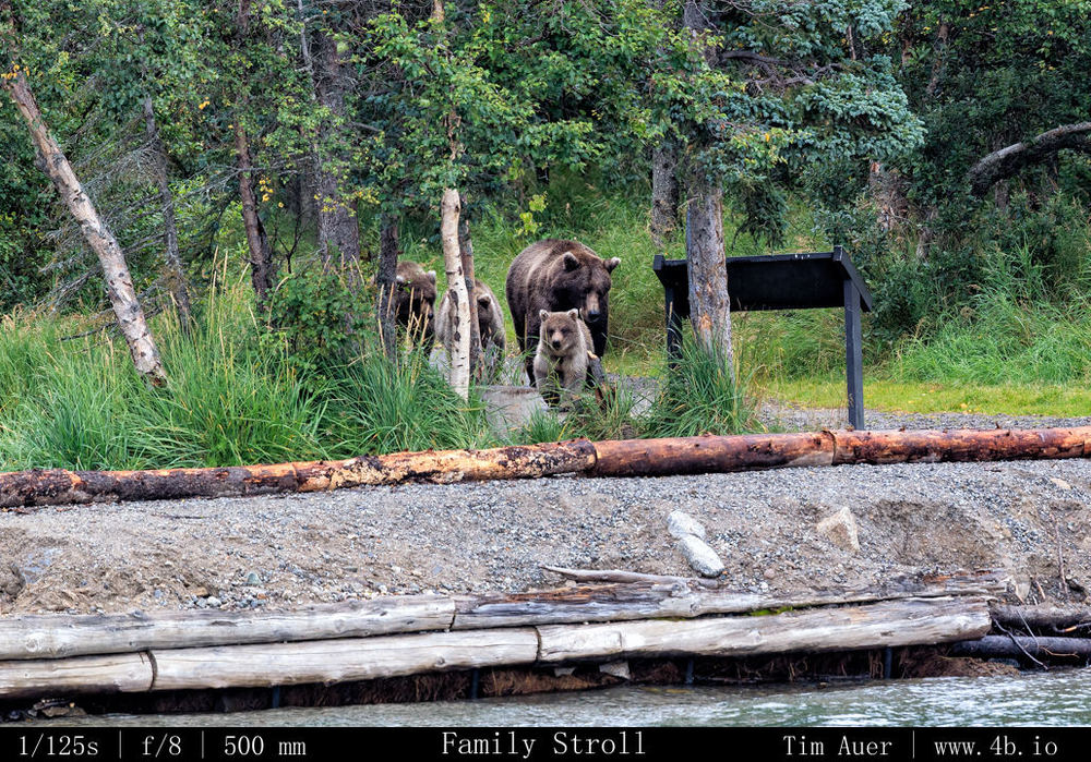
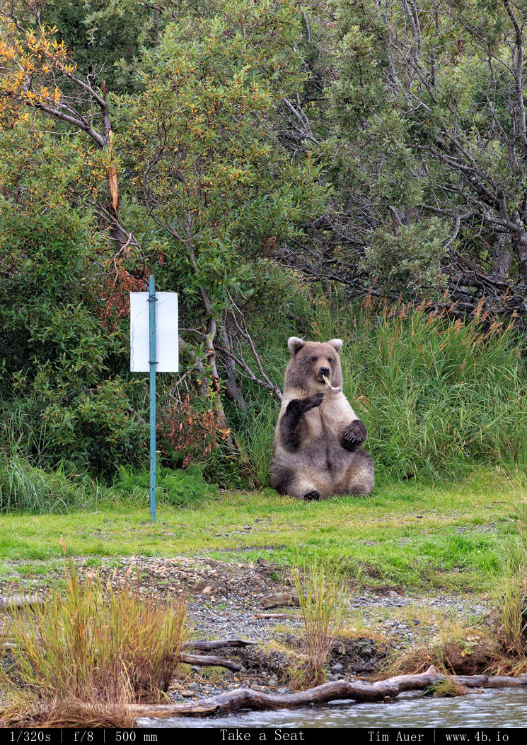
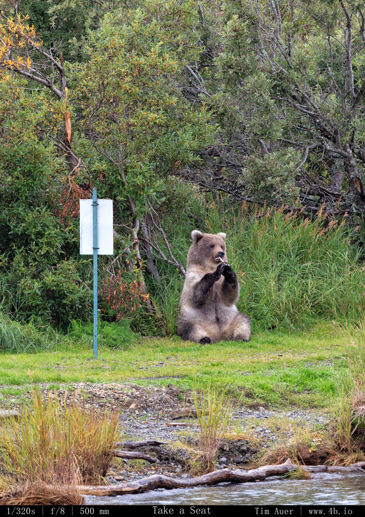
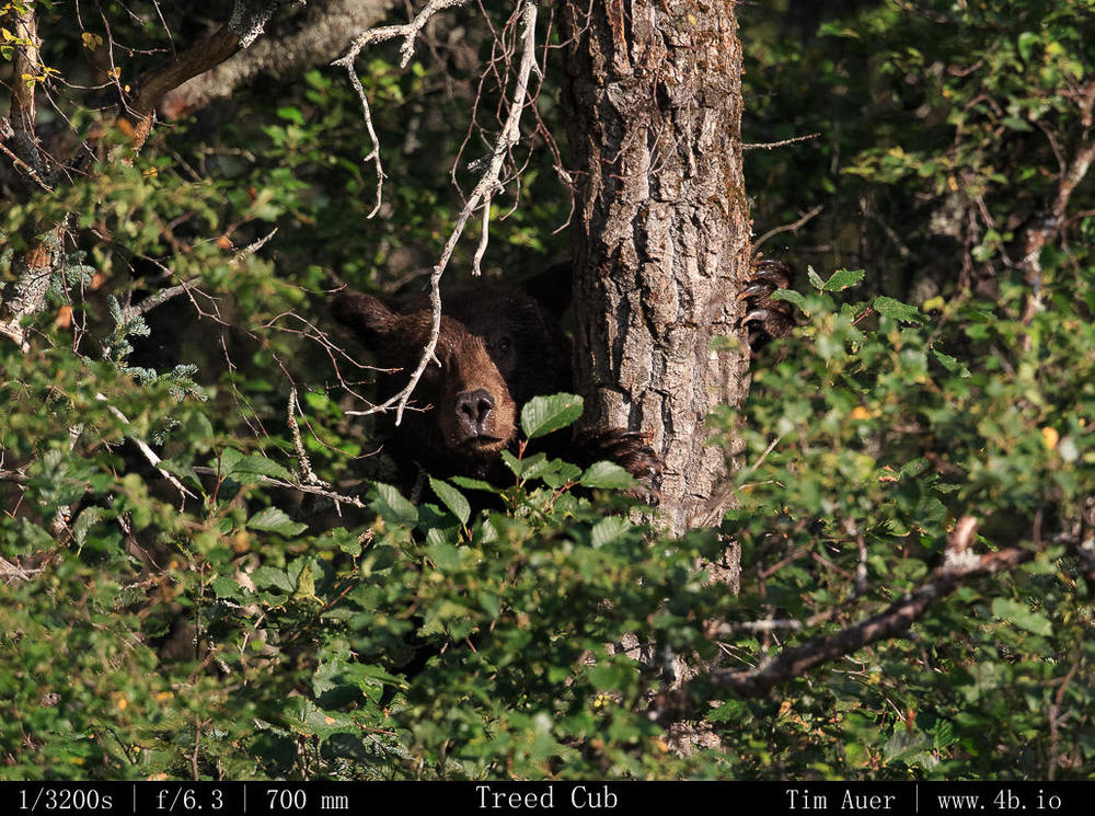
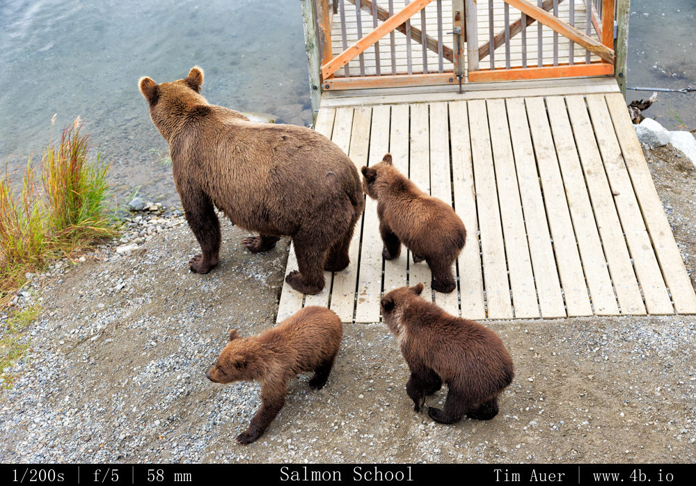
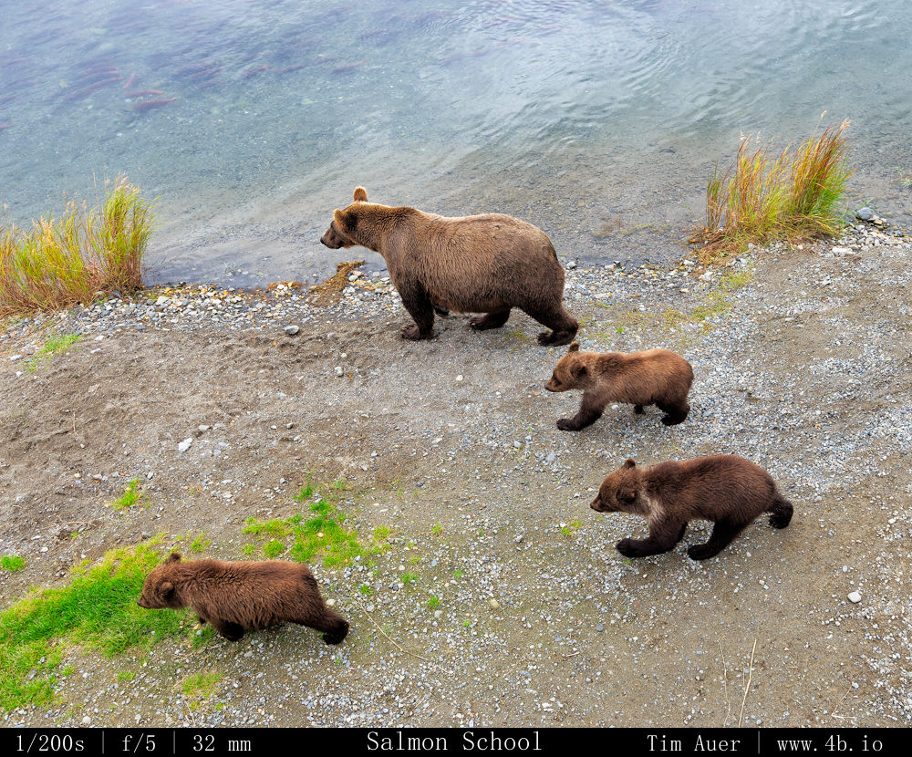
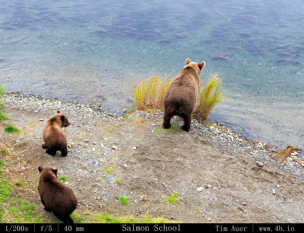
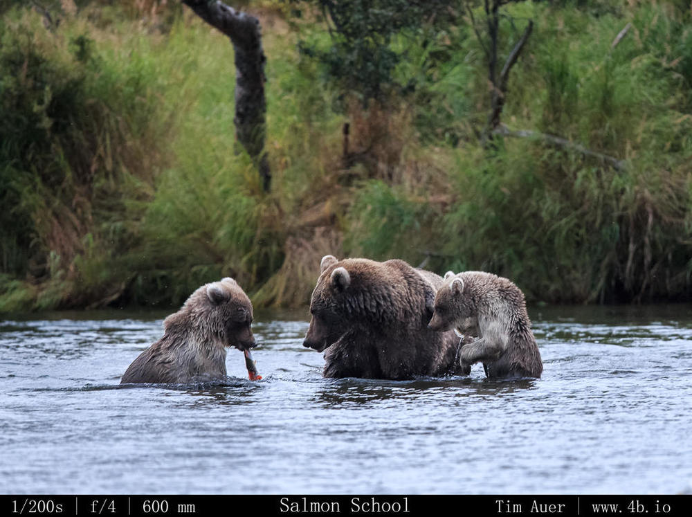
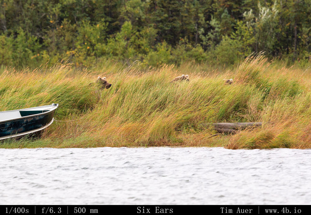
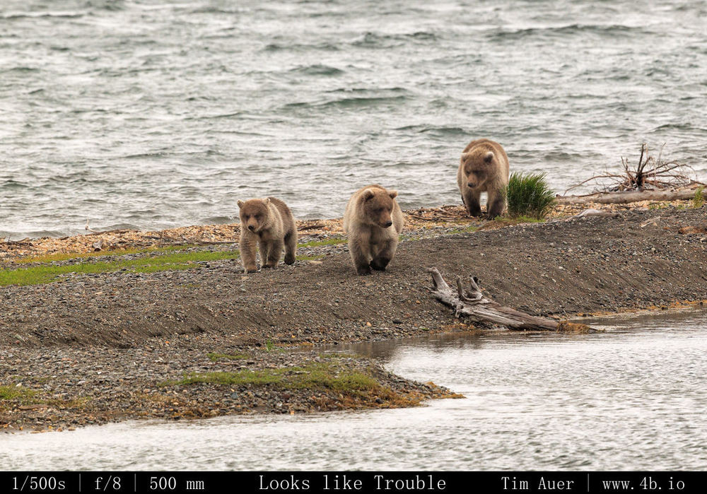
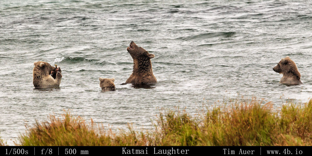
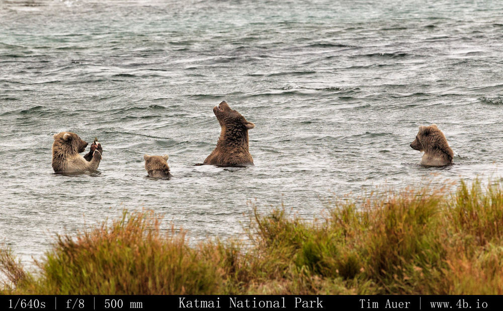
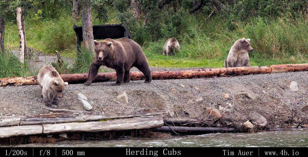
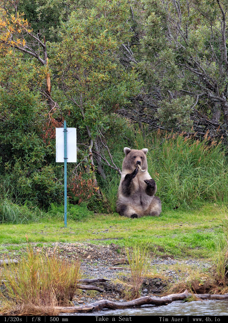
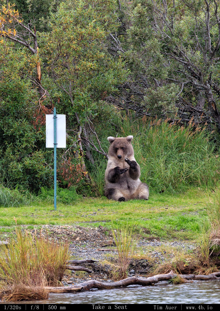
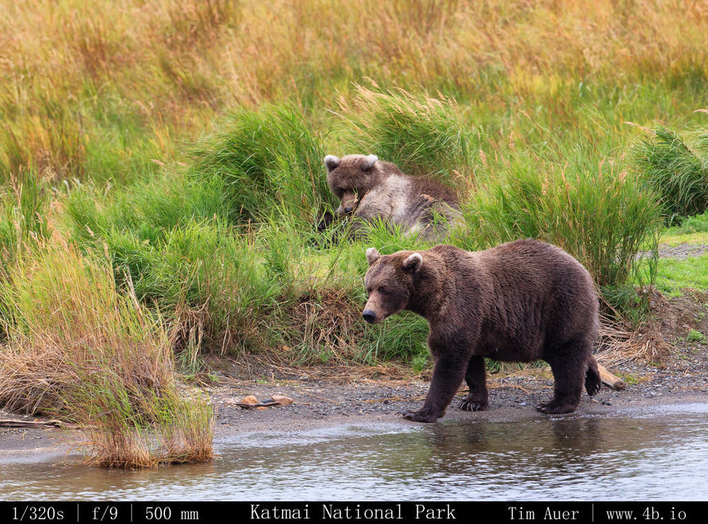
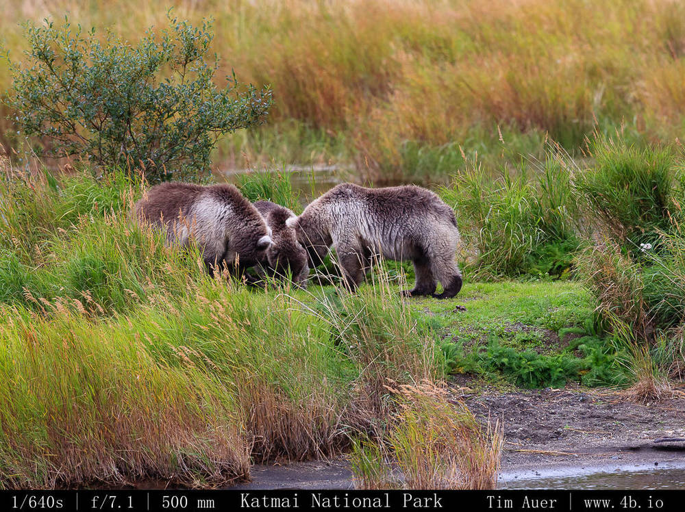
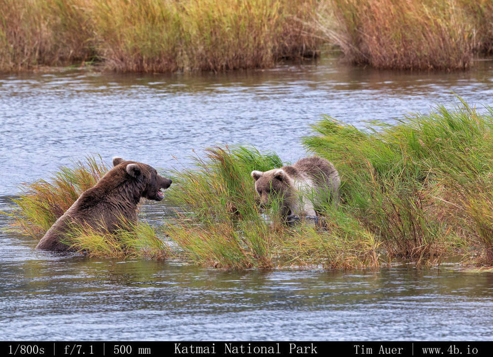
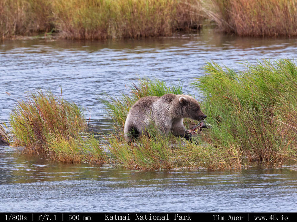
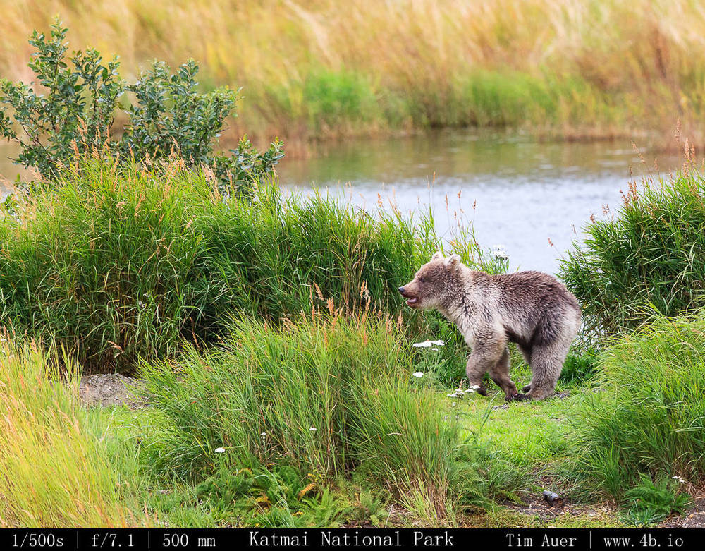
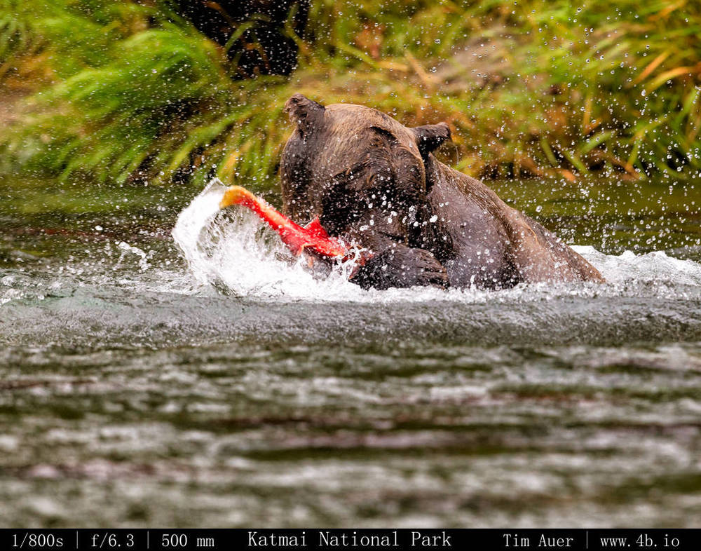
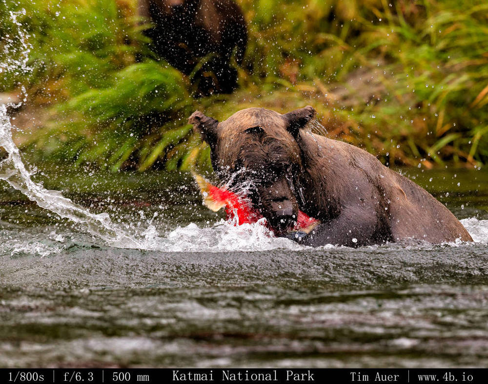
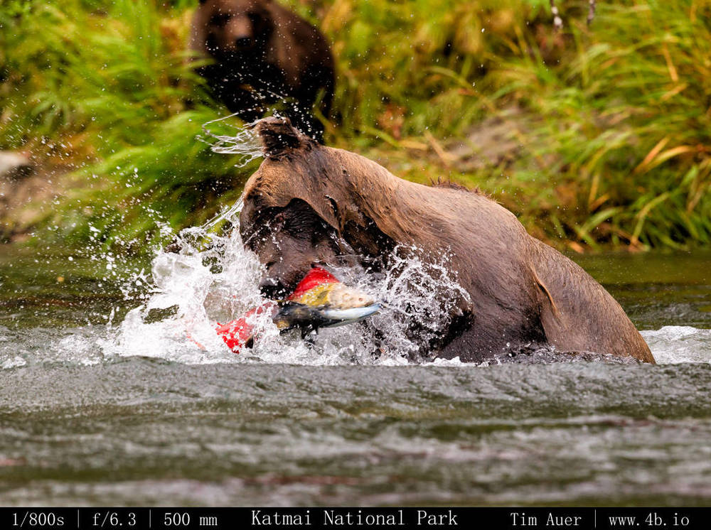
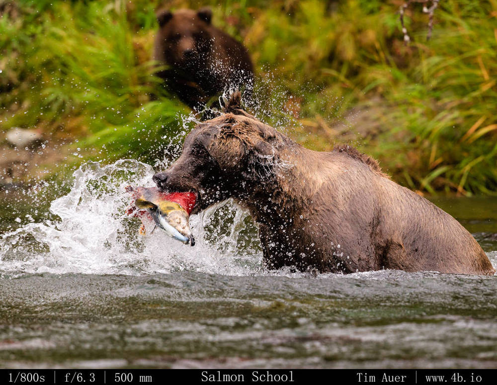
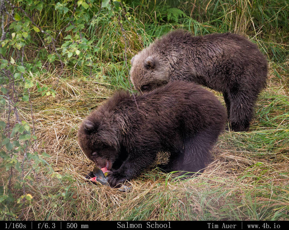
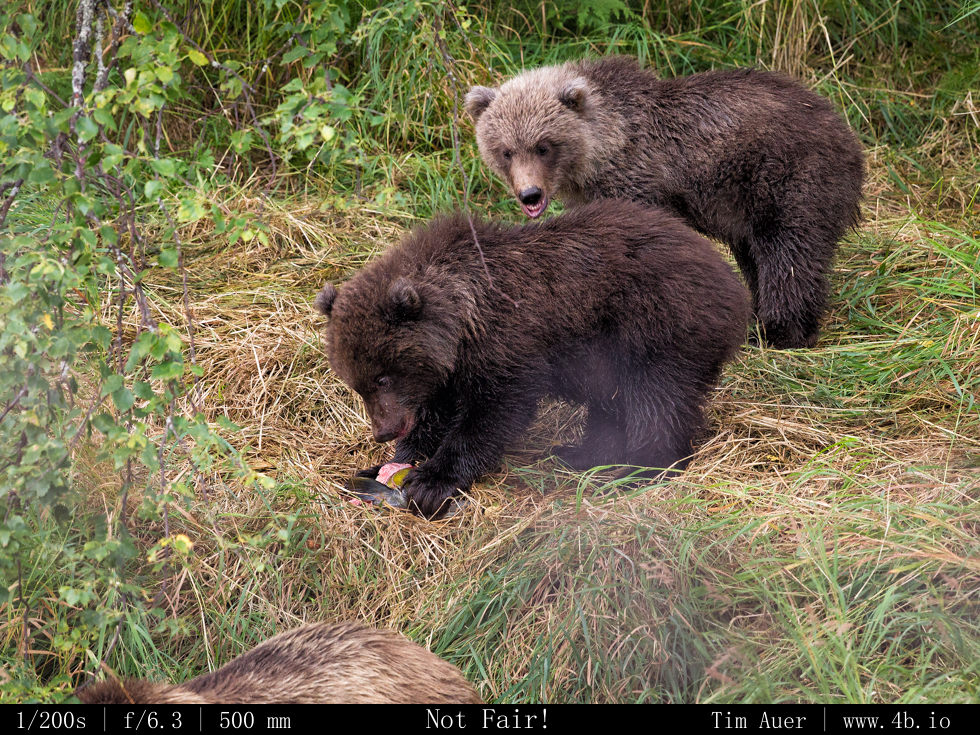
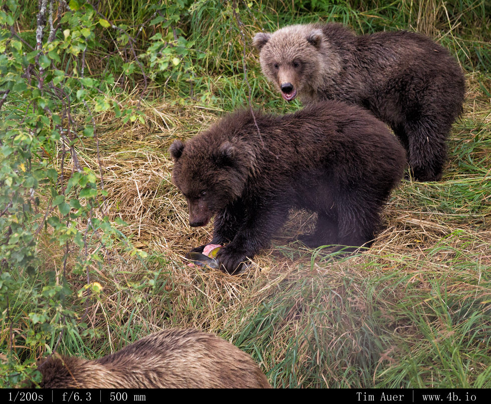
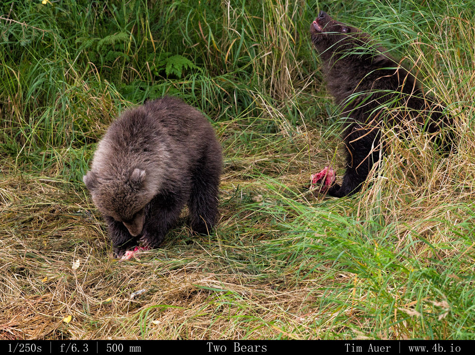
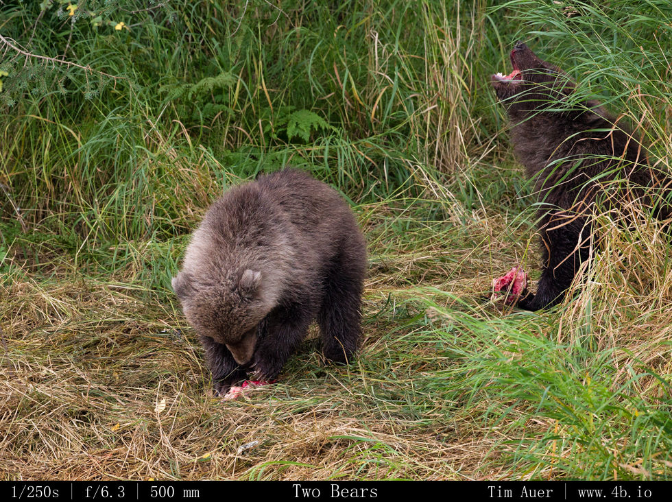
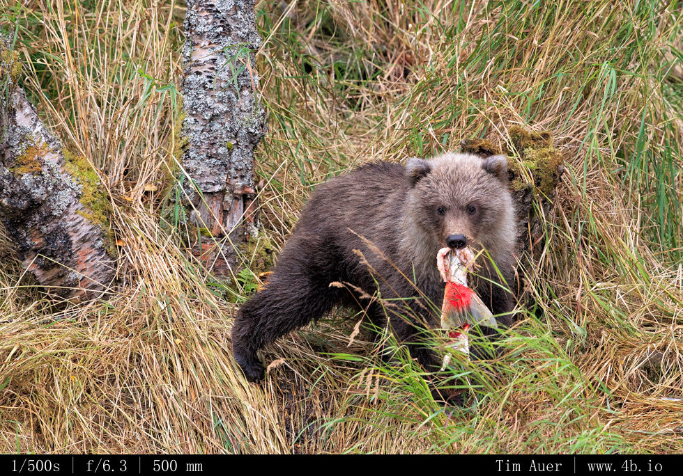
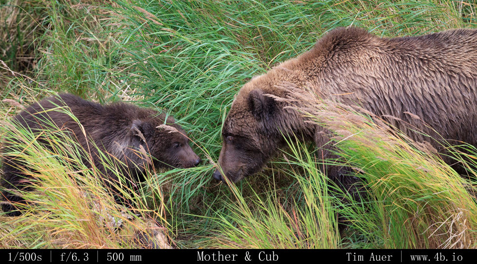
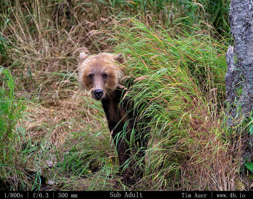
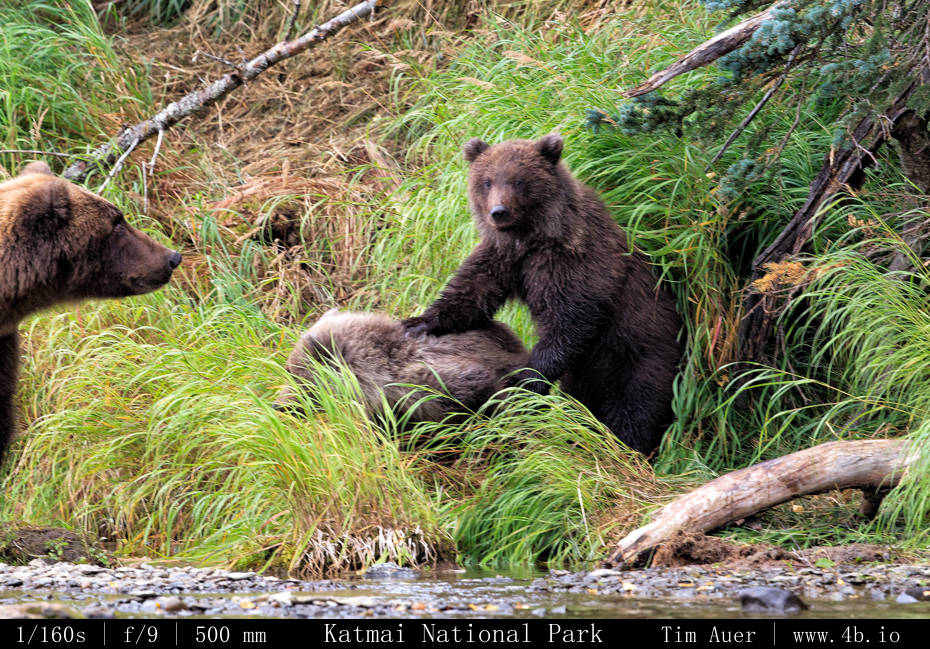
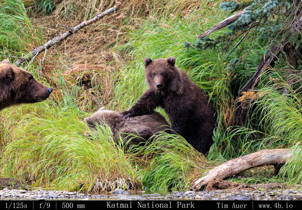
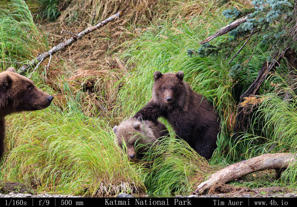
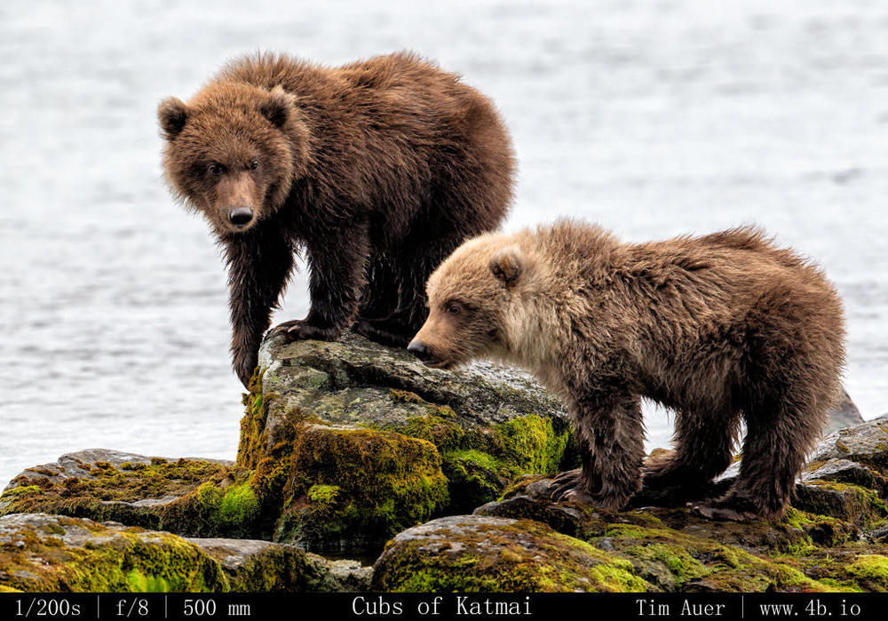
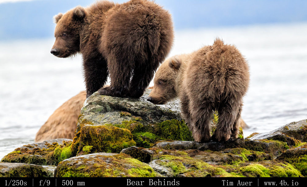
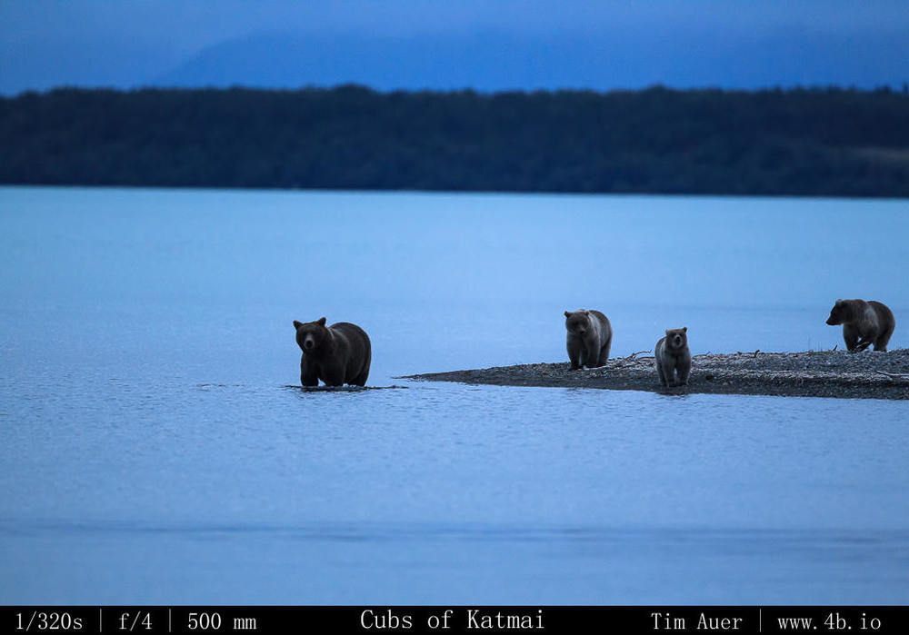
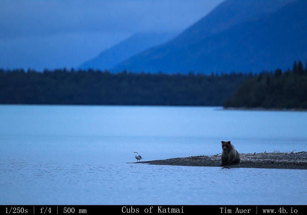
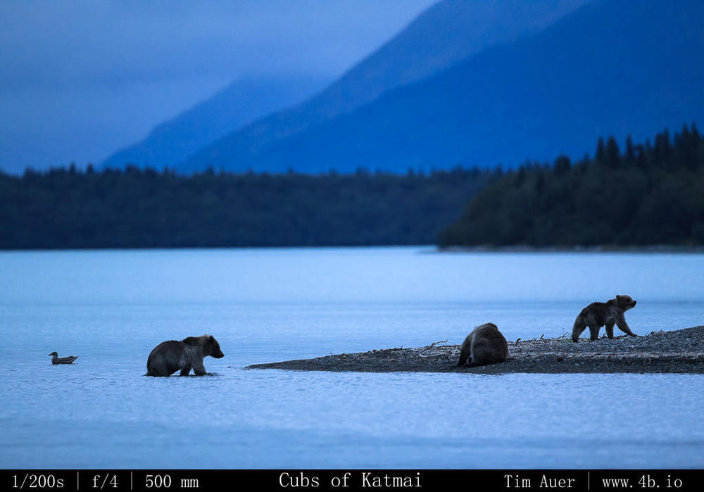
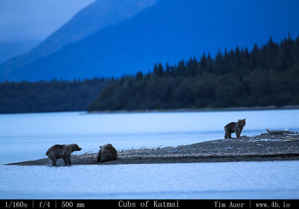
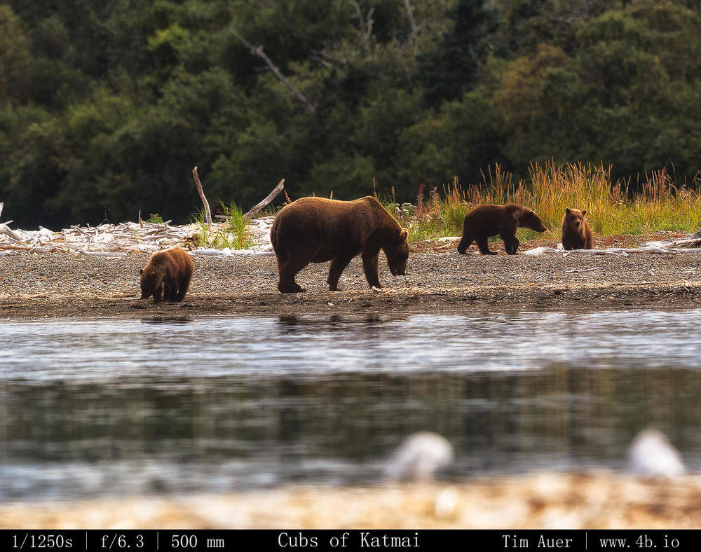
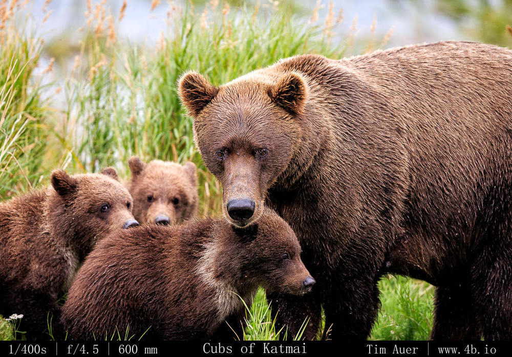
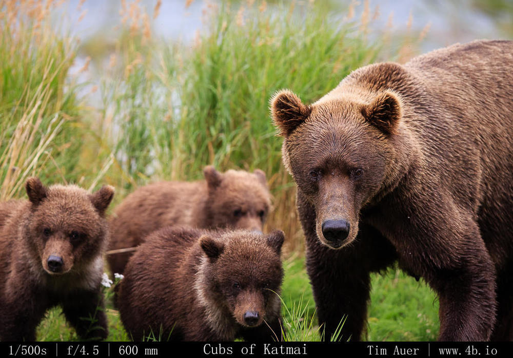
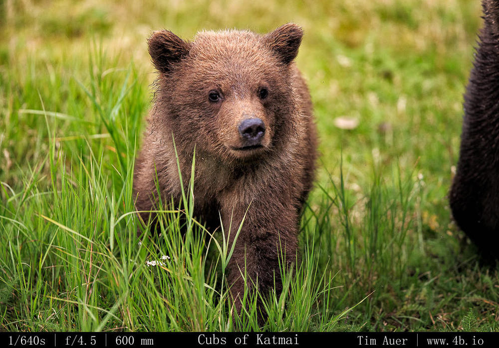
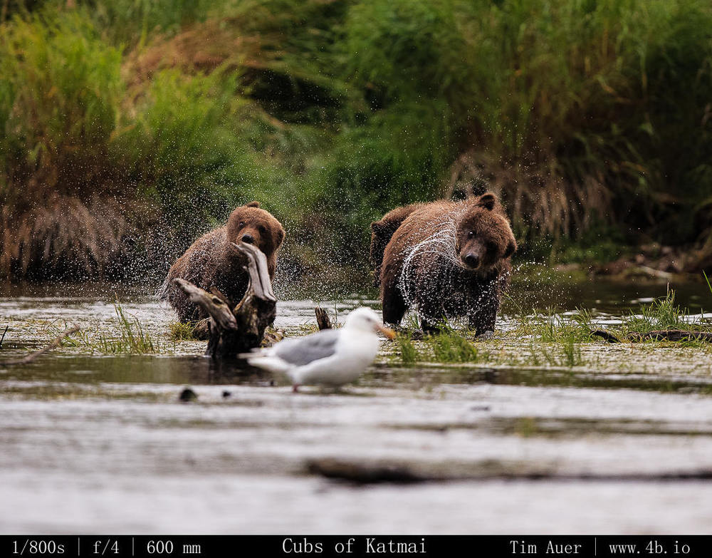
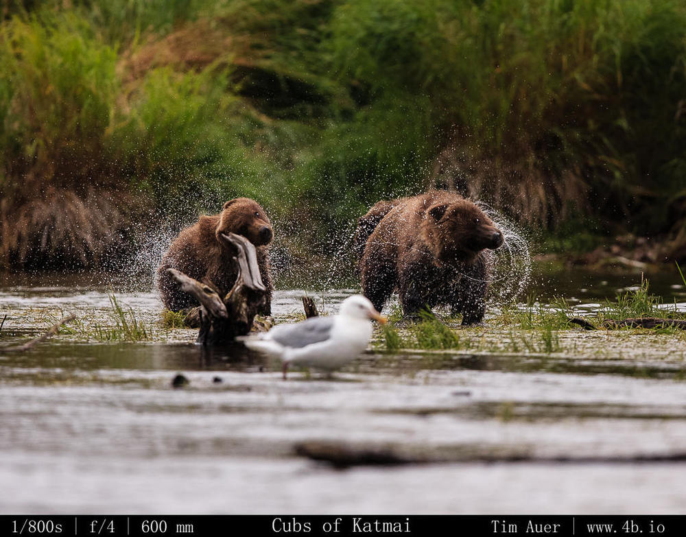
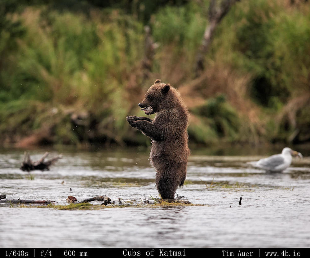
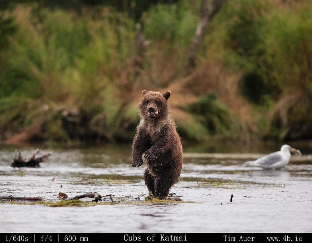
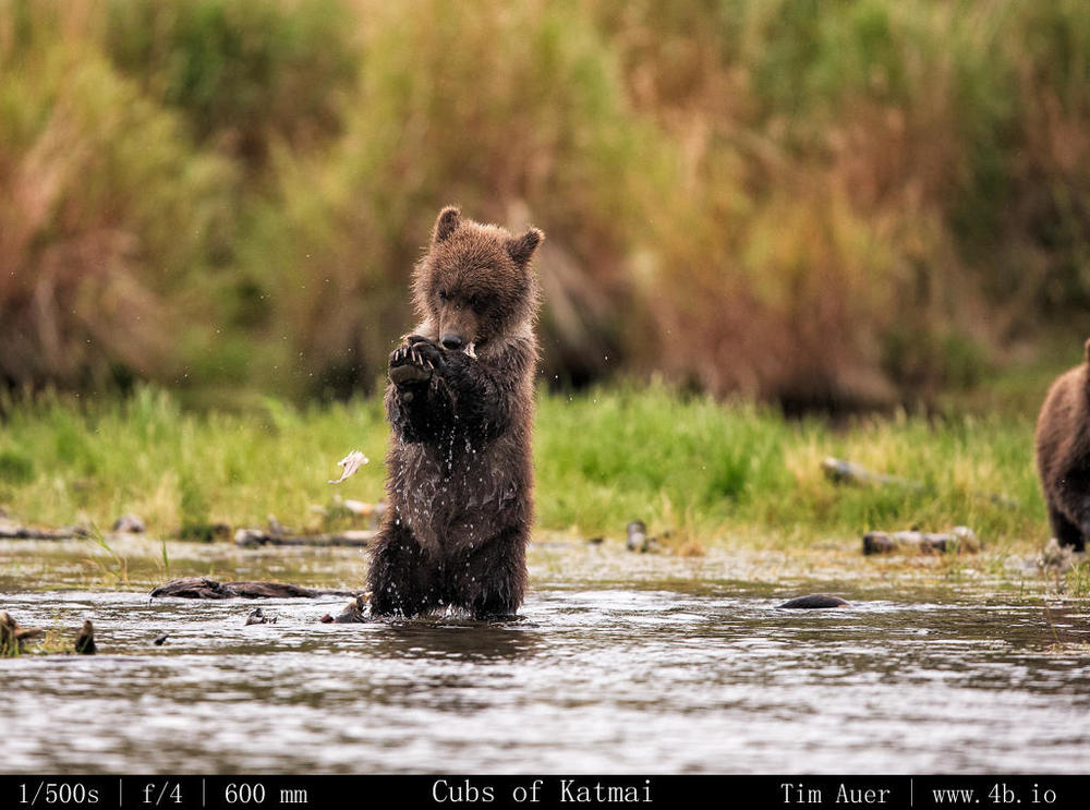
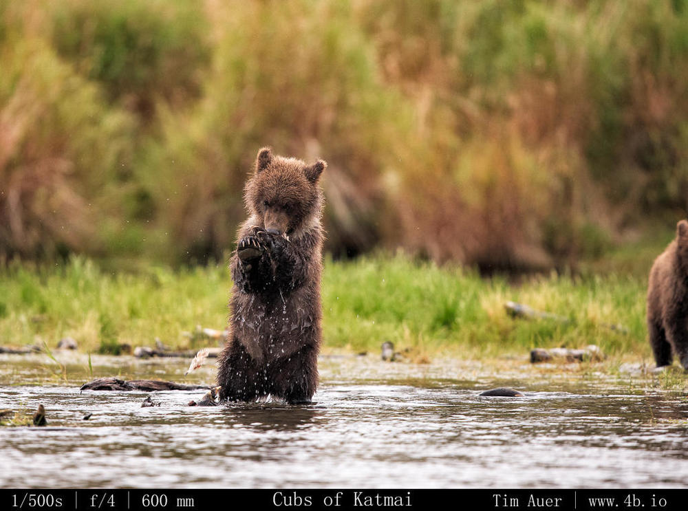
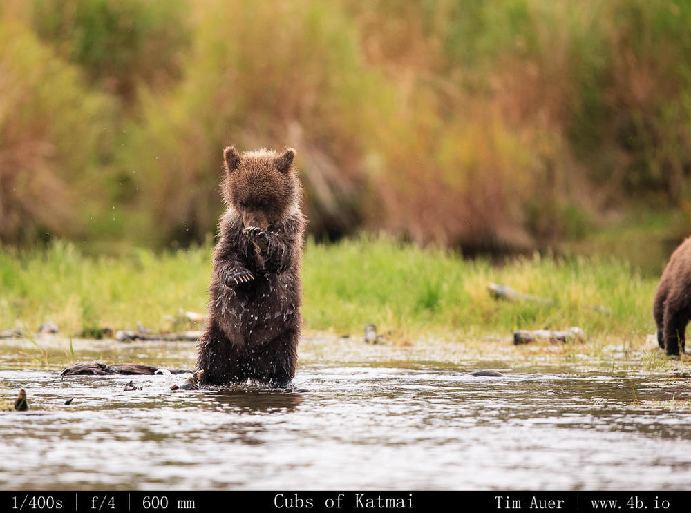
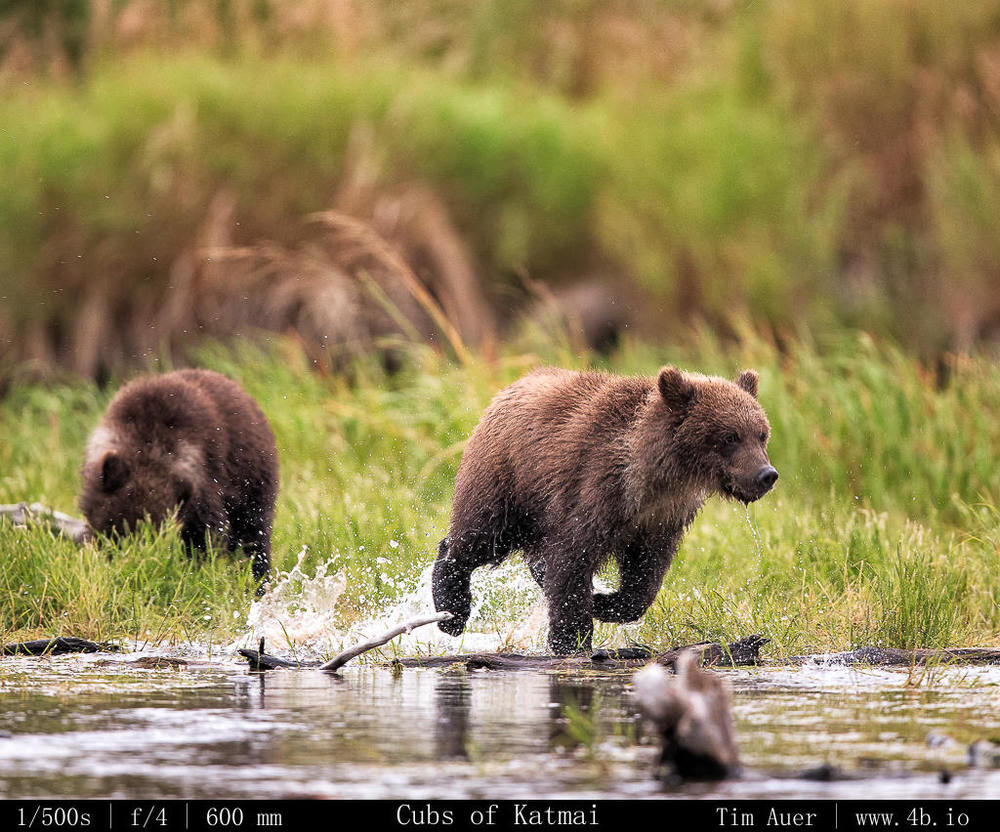
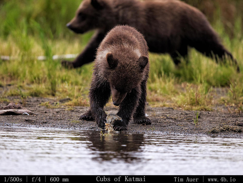
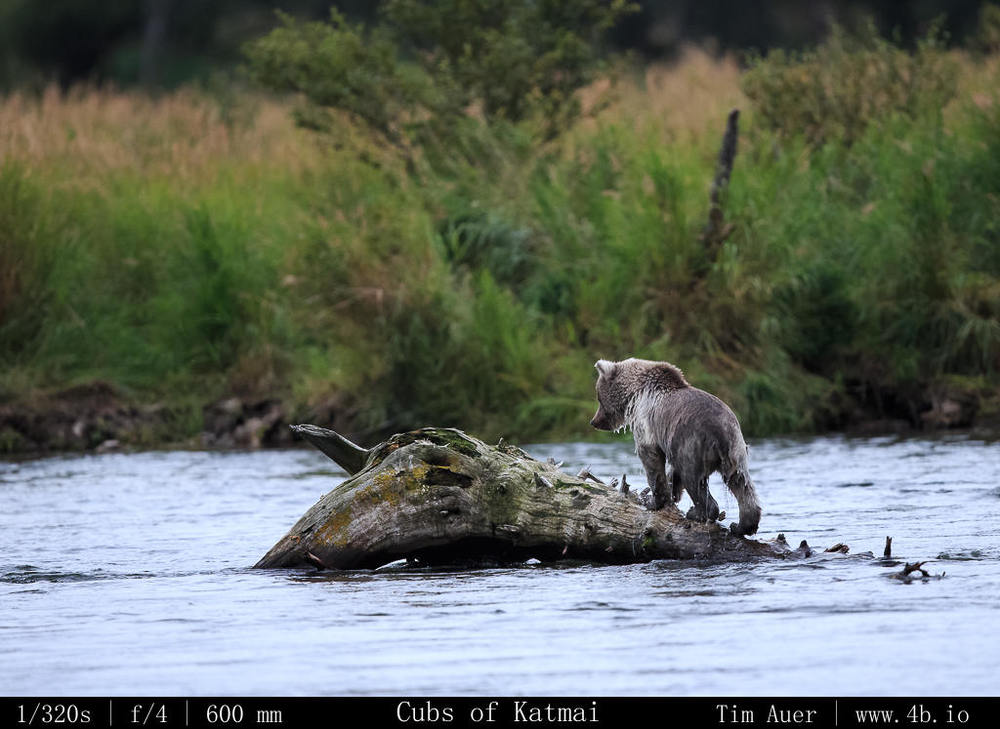
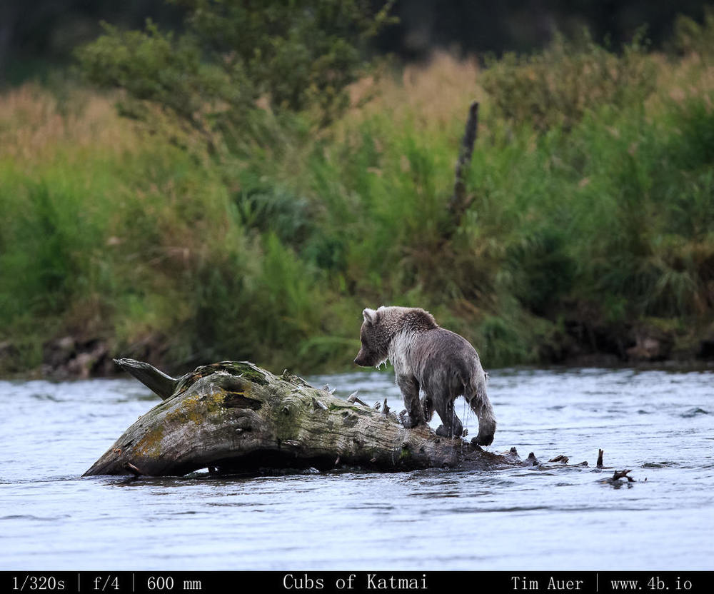
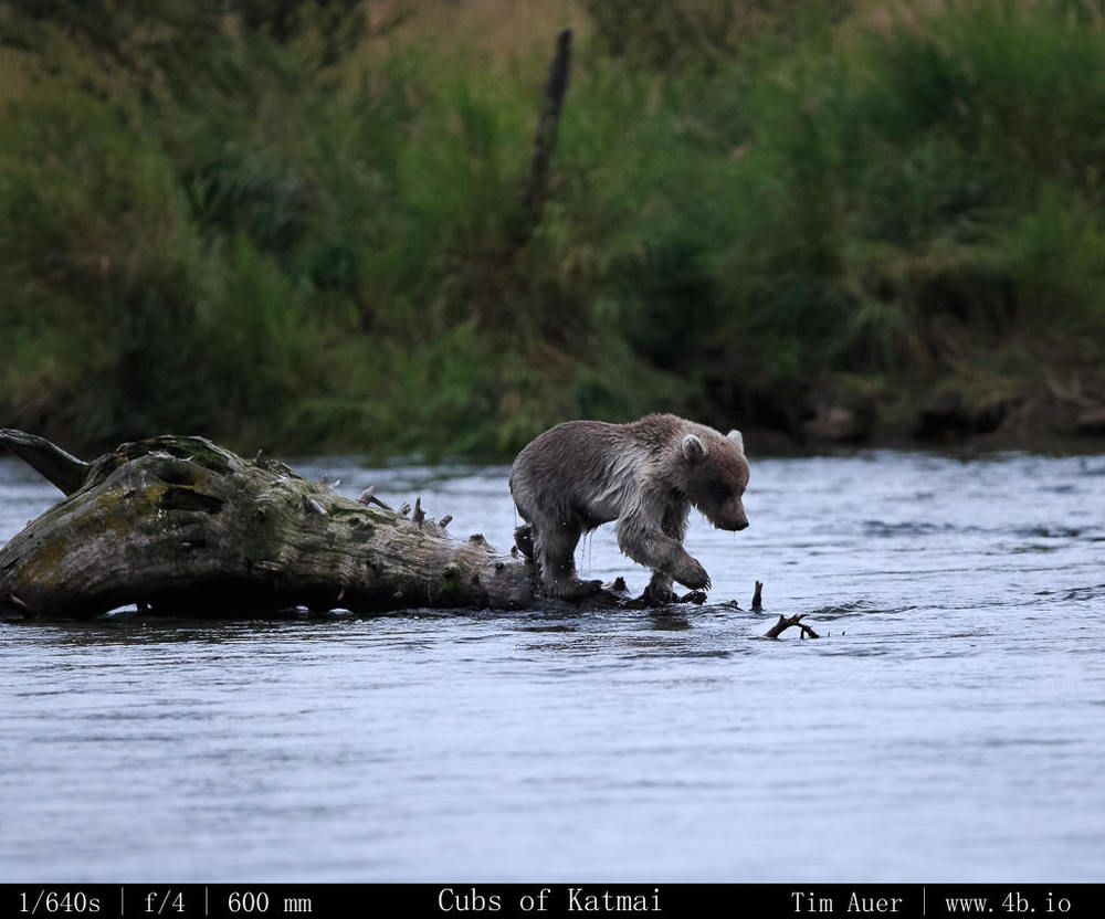
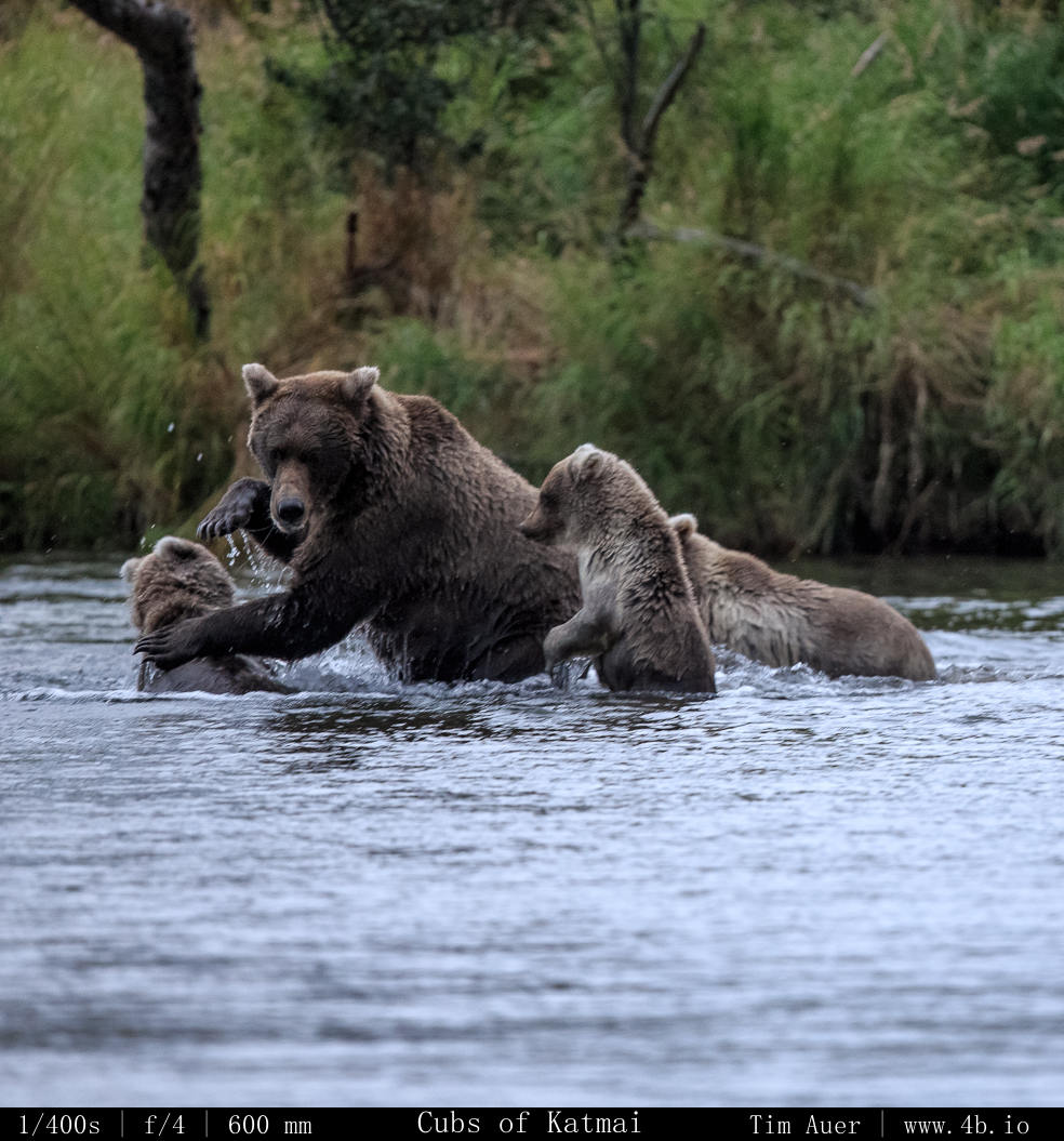
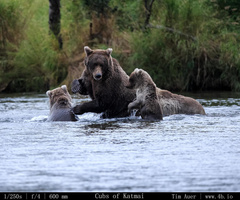
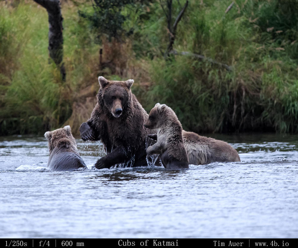
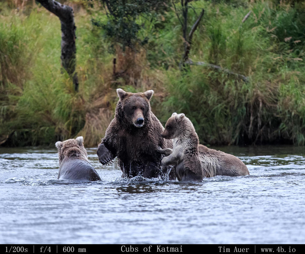
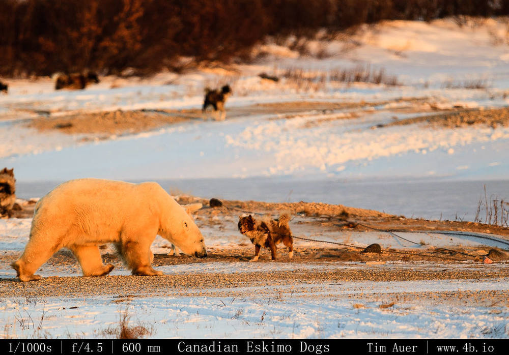
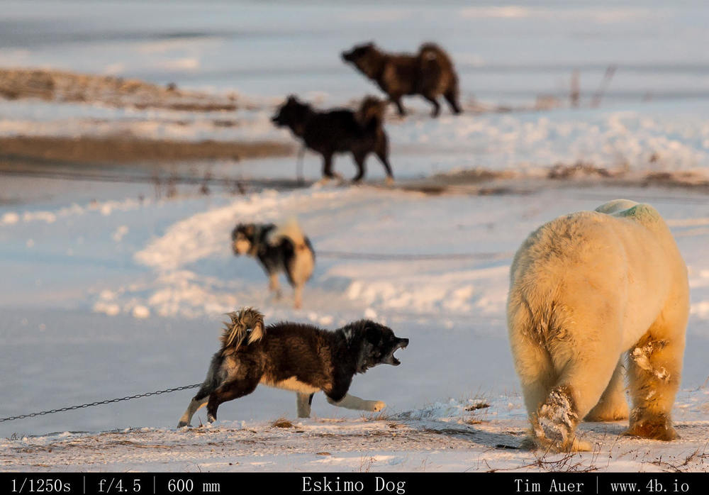
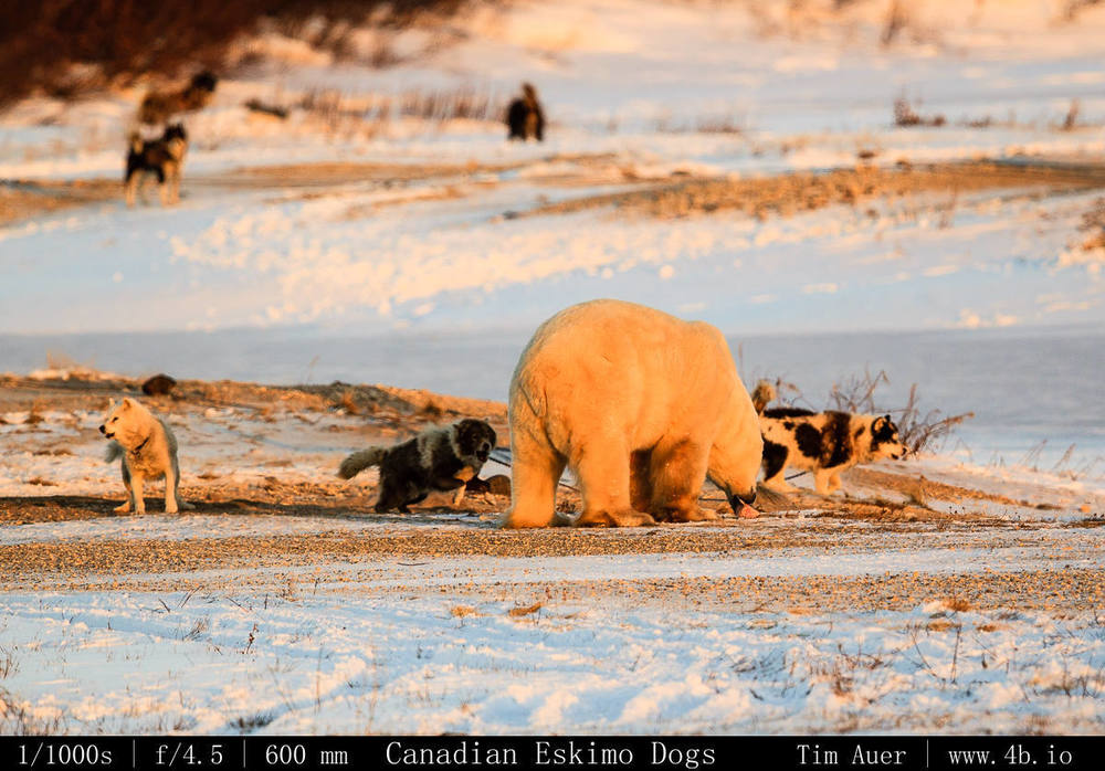
The outcome of this trip was a bit different than expected (limited eagles), but overall it was far from disappointing.  I finally found a top-notch wildlife viewing location in California.  Natural beauty is easy to find in this state, almost anywhere you look is beautiful, but wildlife frolicking in those scenes tends to be rare.  And while the eagles weren’t performing (the nerve of those wild animals!), their cousins in the hawk, harrier, and falcon clans put on a great show. Plus I saw over 10 coyotes, several flocks of snow geese in formation passing by, California pheasants, black crowned night heron, mule deer, and in the two mornings there were two stunning Mount Shasta sunrises. That, combined with the prospect of grappling eagles, pronghorn, black-tailed deer, owls, and others the Klamath Basin is a highlight of California’s natural heritage that hasn’t yet been tagged and spoiled like many of the bears in Yosemite Valley.

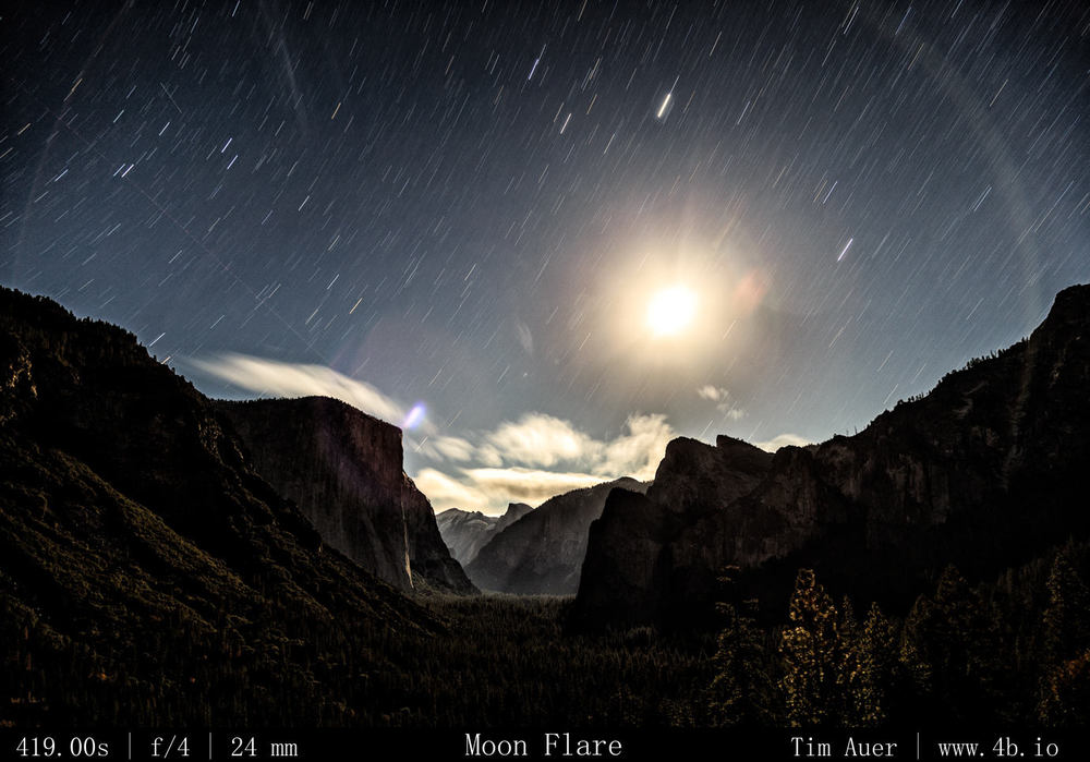
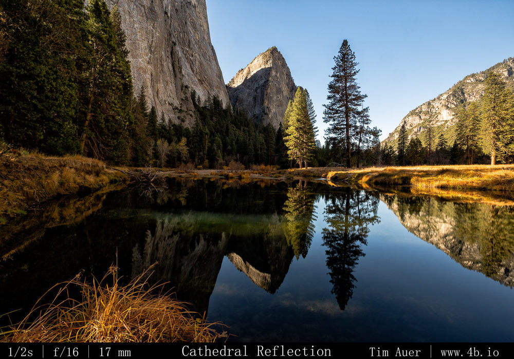
After visiting Crater Lake for the second time in my life, the first was summer 2004, I left the park convinced it is at its best in winter.  As is the case for many other national parks, winter provides a more peaceful and beautiful natural experience.  Even though the park is limited to a tiny parking at Rim Village, and the road that circumnavigates the rim in summer is closed, I felt like there is more potential here during the snowy season than in the summer. The road closures and winter weather limits the amount of visitors, allowing plenty of space for snowshoeing, cross country skiing, and winter camping, all while having a view of the lake.

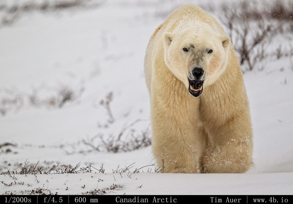
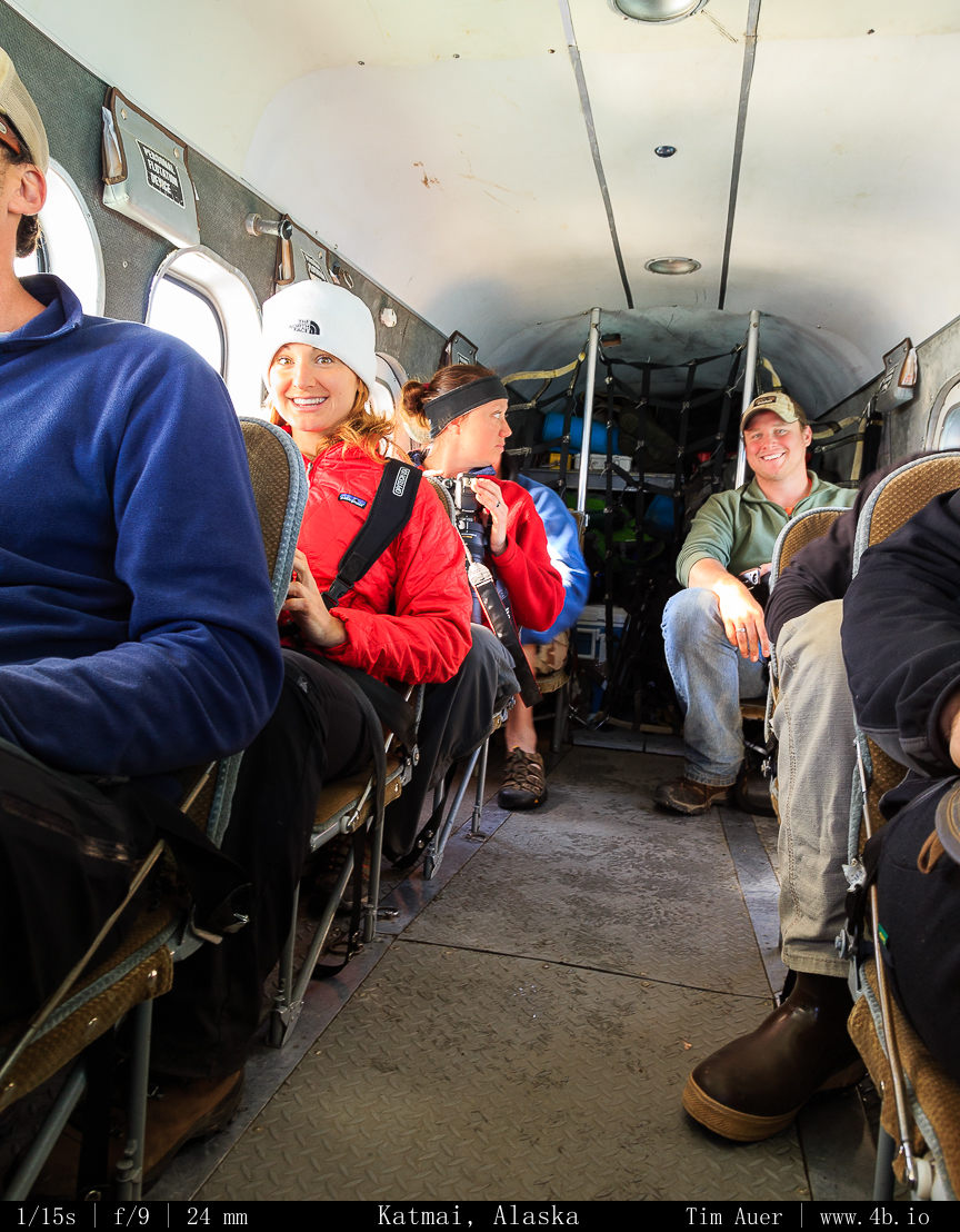
And finally this weekend served a great dry run for my upcoming trip to Yellowstone in two weeks.  I worked on my wildlife tracking, practiced shooting in the cold, and figured out the last bit of gear I want/need to bring with me to Wyoming.

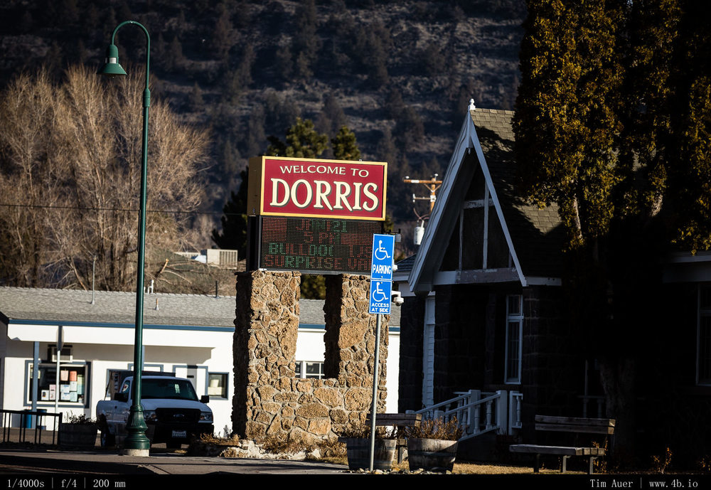
Plus there was a town that had the same name as my mom….with an extra “r” in the spelling…

Yosemite: Late November Valley Explorations

**Gallery at bottom**

November 22-24 was a nice weekend spent in Yosemite Valley.  The previous week’s snow and high winds kept the passes closed throughout the weekend (and eventually turned out to be closed for the season).  While initially disappointed by this limitation (the high country will soon be closed for the next 5-6 months), it turned out to be nice, because it forced us to focus on the valley and find suitable photographic opportunities there. Once the pass is closed for the season, I will be able to pursue new areas off the beaten trail in the valley this winter.

Friday

On Friday morning, before work, a high wind warning was issued for the central and southern Sierra Nevada, closing all Yosemite campgrounds.  From the reports, this wind storm seemed serious, sustained winds of 40 MPH with gusts over 65 MPH on Valley floor and 100MPH winds along the high ridges.  The original plan to stay in Camp 4 Friday night had been derailed.  But instead of postponing the trip for a night, I was actually encouraged by the challenge of finding a suitable place to sleep in or near the park….We left Mountain View at about 16:30 on Friday afternoon and arrived to an entirely still and quiet Yosemite.  There was barely a breeze. Nor were any of the roads debris strew.  The hopes were high that the NPS would have lifted the closure. No such luck, the campgrounds would stay closed until late into the next morning. 

Moon over Yosemite Valley

Once we arrived in the park, we followed the loop to see if there was any wind damage, then went straight to Tunnel View for long exposure photography of the valley, under the power of the waning Gibbous moon. We shot long into the night there.  Initially, I had thought about climbing the Pohono Trail at the Wawona tunnel and doing time lapse photography at Artist Point, and, should we so desire, sleep on the Old Glacier Point Stagecoach Road.  But given the high wind warning (despite there being no wind), it wasn’t worth the risk to to ascend in elevation.

After completing a couple laps of the Valley Loop at about 03:00-03:30, the El Capitan Meadows proved to be the best spot for “stargazing” for the rest of the night.  While walking through the meadow, looking for a spot that gave unobstructed views of both El Capitan and the Cathedral Rocks, we came upon the trunk of a massive Sugar pine resting on the meadow floor.  It had fallen long ago and was half burned out. But it was massive and shielding us from the Northeasterly corner of the valley and obscured us from the road.  We settled in for a couple hours of ‘rest’.

It was a nice nap there.  I did some long exposure photography of the Cathedral Rocks and ever changing cloud+star combinations. It is rare to be disappointed by El Capitan when it is towering over you as you stare up at it in a sleeping bag.  By now the temperature was dropping rapidly below the dew point, and the moisture was freezing on everything, I decided to burrow deep into my mummy bag and watch the stars till the arrival of morning twilight.

Saturday

The Steller’s jay doesn’t wait for sunrise to begin their squabbling.  A pair of the birds made their disposition abundantly clear in the pre-dawn hours.  After being jarred awake by the birds, we took in the tranquility of Yosemite Valley at 06:00.  Frost was covering the grasses, tree trunk, and of course the sleeping bags.  

But the bags performed their duty well, and despite the short amount of rest, having the rare opportunity to wake up, undisturbed, on the floor of one of nature’s greatest monuments is truly special.  The crisp air and a frost glistened view of El Capitan were the first experiences of the morning (after the jays). I felt rejuvenated.

The goals for Saturday weren’t overly ambitious, but I was hopeful that the passes would be opened, but, again, they weren’t.  We returned to Tunnel View for the early morning perspective, after seeing in washed in moonlight.  Then we picked a spot and set up in Camp 4, which by late morning was officially reopened.  Afterwards we went for a hike along the Merced River, looking for the last splashes of autumn colors and reflections.  Came back to the campsite and relaxed for a couple hours in the mid afternoon glare. Did some wood chopping with the axe Matt gave me for my birthday.  Sunset photography was going to be in one of my favorite spots, the Columbia Rock, 1000 feet up the valley wall along the Yosemite Falls trail. With 60 switchbacks, the hike is a 3 mile vertical climb that is extremely grueling, even without the excess camera gear.

The sunset was interesting, the clouds were in constant motion, draping and covering Half Dome and Clouds Rest for extended periods, but would break up for brief instances and yield dramatic views of the rock formations splashed with rich, pink light. We stayed at Columbia Rock shooting until the end of Nautical Twilight and begin the steep descent back in the dark.

After hiking back to Camp 4, we had dinner and Chad made a big fire.  The last bit of photography I had in mind for this trip was to catch the moonrise over the valley wall from the “Gates of the Valley” view.  The moon was scheduled to rise at about 22:00, at the horizon, but wouldn’t make it above the valley wall until well after 23:00.  So I took my time and ventured out at around 22:45 to the Valley View location. crossing paths with couple coyotes in the process. I had two cameras firing from multiple positions. In fact, I took advantage of the low flowing Merced to set up out in the river. Seizing the opportunity to shoot from vantage points typically inaccessible at other times of the year when the water volume is higher.  The conditions weren’t particularly easy to shoot in.  Waves of fogs and mist would glide through the valley floor in irregular intervals, influencing the air temperature in the process. Before the fogs, it would be a few degree below freezing, as it rolled past the temperature would rise above freezing, only to drop again after it was gone, and leaving a coat of ice on my lenses.  As the frequency of “fog waves” increases, I had to drastically decrease my exposure times to allow lens defrosting.  Before the fogs, I was doing 900 s exposures, by the time I had had enough, I was down to 250s exposures. 

Toyota FJ60 Land Cruiser

I am happy to announce to acquisition of the new component to be added to my photography toolkit, its not a 1DX body…it is something less expensive but, arguably, more practical: a 1987 Toyota FJ60 Land Cruiser. 

I picked it up late Friday night (12/20) in San Francisco, and so far on my second full day owning it, I am loving it.  It is a not a gentle truck to operate.  It is a workhorse, sounding and riding more like a tractor than any closed vehicle that I have ever driven.
On Saturday, for its inaugural drive (it only has a 180,000 miles on it), Chad and I took it to get a quick bath and drove down to Big Sur to see how it handled along the cliff edges of the Pacific Coast Highway..and to look for sea otters.  It performed admirably, even better than I expected. I was most concerned about the gas mileage, but it traveled over 285 miles using only 3/4 of its 20 gallon tank. Not bad such an old behemoth to get 15-17 MPG.

I am not getting rid of the wagon, the FJ60 will serve as a second, beater vehicle.  To be used for the trips I am destine to cover very rough terrain, or for when friends or family visit and need a car.  But the core motivation for buying this truck is the off-road capability. It will come in handy for reaching all the remote locations that gave my wagon difficulty, or wound up being impossible for it.  But its not for a lack of trying, I made the decision to get this after taking the wagon off-road many times. And the 3er X-drive wagon was no slouch, and despite its 6 inch ground clearance, I (foolishly) went off road many times with it, and took many places that I probably shouldn’t have.  I would often find myself in stressful situations far from any road, moving at an excruciatingly cautious speed. I had visions of a broken axle, cracked wheels, or gashed in the fuel tank from a rock. In  Any single one of these repair bills on the BMW would greatly exceed the cost of this FJ60, so I consider the investment prudent.  In fact, I have already had to replace all my wheels multiple times due to bent rims, not a fun allocation of funds.

For now the next steps are to give a tune up and plan for a weekend trip to Tahoe…or Klamath Basin…or Death Valley and its several hundred miles of unmaintained 4×4 roads located there…and that spurned me last time….

http://www.nps.gov/deva/planyourvisit/backcountryroads.htm
http://www.nps.gov/deva/planyourvisit/upload/Backcountry%20Roads.pdf

80 miles of very rough 4x4 road in a sport suspension 3 series...no chance. but a FJ60 with a 5 inch lift, now we are talking!!
80 miles of very rough 4×4 road in a sport suspension 3 series…no chance. but a FJ60 with a 5 inch lift, now we are talking!!

Abuse of the 3er, the new FJ60, Jake pissed off, and some other critters..

CHURCHILL 2013

The bear that traps you, is the one you didn’t see.” – Inuit Proverb

This trip was about the polar bears, followed by arctic foxes as the next objective, with a small hope of some auroral activity.  Though expectations for the Northern Lights were low given Churchill 98% November cloud coverage.  The trip produced good results for all three.

Getting there
All things considered, Churchill is moderately easy to reach, given its remote location and being the gateway to the Canadian arctic. It is not as easy to reach as a place like Yellowknife, but the connections from Winnipeg to Churchill on Calm Airlines are frequent, start early and end late.  These convenient timetables allow you to maximize your time there, if you are so inclined. For me, when I go on vacation I tend to squeeze as much as possible out of each PTO day.  The trip to Churchill was probably my most efficient trip to-date in terms of maximizing my efficiency.  I arrived at Winnipeg at midnight, got some sleep, was flying to Churchill first thing in the morning (06:30), and searching for polar bears by 09:00. The return mirrored my arrival in the sense that I left Churchill at 20:00, and had a 06:00 flight out of Winnipeg.

Driving Report on Trip

Rented a Jeep Patriot from Tamarack Rentals.  It gave a solid performance for the most part, but still left room for improvement in important several areas. The first complaint is we couldn’t lock the four-wheel drive differential, even when we disabled the ESP. Which seemly defeats the purpose of having 4-wheel drive.  The windows are small and there isn’t much vertical, which made it difficult to handle large lenses.

  • 1 flat tire, punctured by willow stalk.  We had to use a sledgehammer to dislodge the frozen wheel off the wheel studs.
  • 2 times stuck. The first time we were towed out by the town’s pastor who was passing by (thanks Doug!) and the next time we were well offroad (on a tundra buggy path) and had to dig ourselves out by hand.
  •  Approximately 60 Km road available to explore in this “road locked” region
  • $2.10/liter gas or ~$100 to fill up tank. (expensive for me, normal for Meril)
  • 2: number of 600mm lenses jockeying for space to shoot out the window
  • 6: nights sleeping outside in the car, instead of a hotel room (out of 8 nights total). The ice encrusted interior cabin (our frozen breath) was a pleasure scrap off each morning.

In terms of changing tires in polar bear country, we learned that the important thing to keep in mind when doing this type of activity, is to remain aware of your surroundings.  It is easy to become fixated on the task at hand. Specifically you focus your eyes downwards on the tires and underside of the vehicle.  You want to solve the problem and be on your way, as quickly as possible.  The problem with this approach is that you are often ignoring your surroundings.  In Churchill, this introduces an entirely new level of danger, the land of white bears on white land and white sky.  Constant awareness and guard must be taken to avoid a bear surprise. And they seemingly pop up out of nowhere….

This is why I repeated the following Inuit Proverb over and over in my head:

The bear that traps you, is the one you didn’t see.

Things for next year:
– avalanche shovel (digging out stuck vehicles)
– tow rope
– kitty litter
– radios
– scanner

Northern Lights

[see blog post about the Aurora]

Full Moon Yosemite

After these trips to Alaska, West Virginia, and Northern Canada, I felt like I was neglecting the California parks…so I packed up the wagon for a weekend outing to the greater Yosemite region, where I planned to take advantage of the full moon for landscapes, hunt for some wildlife, autumn colors, and if lucky do some astrophotography for the Leonid meteor shower…most importantly, try to spot the Comet ISON in the pre-dawn hours. 

As ISON approaches perihelion it is predicted to grow brighter, but it is unclear what exactly will happen after that.  The two more dramatic possibilities for the comet, after it completes it swing around the sun, are the following: It may increase in brightness and tail(s) length and be visible to the naked eye, or alternatively it may evaporate into nothingness.  November 16-18, the comet is visible at approximately 04:00 near the star Spica in the constellation Virgo.  So the time is now to guarantee a view of this celestial body….because it may be now or never…soo yeah. 

So having said that, I wasn’t actually able to see the comet ISON this weekend…unfortunately. On Friday night from Glacier Point, a thin cloud cover combined with the very waxing gibbous moon eliminated all but the brightest stars. Saturday night, near Mono Lake looked more promising with crystal clear and cold skies, but no can do.  Under the power of the now full moon and with high mountains to the east towards Nevada, the comet wouldn’t be visible until it rose above those mountains, which didn’t happen until about 05:00.  With encroaching astronomical twilight at this hour, the comet was completely obscured… 

The moon and clouds also washed out any Leonids.

But despite a failed astro photography weekend, it was a great weekend with significantly better than expected results. 

The thin cloud cover, that ruined the astro part, made for incredible sunrise photography at Glacier Point, and the full moon extended the shooting hours long into the night (without having to switch my technique and mindset to astrophotography). The autumn colors were vibrant in the valley. And I had some success with my primary photographic passion: wildlife photography.

At the moment, I have only reviewed about 20 photos from the weekend, but I will process more images tonight and include them in a more descriptive post….I also need to finish processing the Churchill photos and translate my handwritten notes into a post…I know, being backed up is usually never good, but when you have too many photos to process it is a good problem…

Gateway to Canadian Arctic

Tracing one warm line through a land so wild and savage
And make a Northwest Passage to the sea. 
– Stan Rogers

 Arrived to Winnipeg late on Tuesday night.  The weather was cold and relatively clear, temperature was 26 degrees.  Will continue the journey at 06:30 tomorrow morning on a flight traveling an additional 1100 miles due northwest to the extreme edge of Manitoba, at the gateway to the Canadian Arctic.

The tiny town of Churchill, deemed “polar bear capital of the world”, for having the highest concentration of white bears in the world.  As a result of this notoriety, Churchill might also be the most famous 800 person town in the world.

The bears here, after spending a summer wandering in a suspended animation, haven’t eaten anything since June or July and are hungrily waiting for Hudson Bay to crust over and freeze.  The shores are beginning to slush, ice is blowing in from the north, and the bears are getting excited for the winter and prospect of a seal hunt.  For the next 7 days, it is at this stage that we join them….

For those in the mood for some Canadian folk music…the great Stan Rogers:

Katmai: Gear, People, Bears

Now for a gallery of the people who made this trip a success!  (And to give some perspective on what it is like to experience Katmai up close.) But first a quick review of the gear…. 

Previous Katmai Posts
Katmai: Bear Behavior
Katmai: Float Plane Lift
Katmai: Cubs
Katmai Packing List
Katmai: Otis Eats a Salmon

Glass 

Canon 600mm F/4L IS II
Canon 500mm F/4L IS II
Canon 300mm F/2.8L IS I
Canon 100-400mm
Canon 24-105mm
Canon 17-40mm
Canon 1.4X III
Canon 2X II

Body

Canon 1D-XCanon 1D Mark IV
Canon 6D
Canon 60D

To begin, I’ll start with the glass that was used.  First a disclaimer, the 600mm and the 1DX did not belong to me, it was Meril’s, who let me use it when he wanted to give his back a rest 🙂  I swapped the lightweight 500mm with his heavier 600mm as a service….

This trip was my first time using either of Canon’s new fluorite super telephoto lenses (the 500mm II and 600mm II).  I rented the 500mm from lensrentals.com, and had it shipped to my hotel in Anchorage the day before my arrival.  The image quality and usability of these two lenses offer an unparalleled experience, comparing to any other piece of equipment I ever used.  

Before the days of image stabilization, a photographer was forced to work within the limits of a super telephoto lens, like a 500mm or 600mm.  Sharp images depended on various conditions to be satisfied. To list a few: 

 – Impossible to handhold, minimum shutter speed must exceed 1/F s for sharp images (e.g. 1/500s; 1/600s)
 – Require gimbal head and large, stable tripod (like a Gitzo 5-series)
 – Use extenders sparingly, due to degradation of image quality and loss of stop(s) of light
 – Panning or Tracking? Don’t forget the switch between IS1 and IS2.
 – Arms falls off due to muscle fatigue if handholding longer than 90 min (weight)
 – Must go home as sun begins to set (not enough light, and arm is too tired from holding)

Most of these rules or conditions do not apply to the 500mm II and 600mm II. And if a rules still applies (losing stops with extenders), there are other features that help to counteract them (the advanced IS helps manage the loss of available light when using the extenders- assuming the subject remains still enough that is). Both of these lens defy conventional logic and seem to break all the rules. 

So what lenses should you bring on your visit?  Based on the accounts of other photographers, its seems the majority recommend a mid-range telephoto as being the most suitable lens for Brooks Falls. Which seemingly contradicts the praise in the previous paragraphs.  I would argue that, depending on the time of year you visit, both opinions are correct.  In July, when the bears gather en masse at the falls, a wider tele would be beneficial.  But in September, when the bears are more spread out and isolated, a narrower tele has the advantage. (in my opinion)

So what would I bring next September:

Lets take it in increasing layers of gear….If I only had…

1 lens/1 body: 

600mm / Canon 1DX or 1D Mk. IV
If I could only bring a single lens and body set up, I would bring the longest possible lens, coupled with my highest performance body (whatever that may be).  The key features of the body are auto-focus ability and frame rates. If the 1D failed on me, I wouldn’t switch to the 6D, I’d use the 60D because it has better AF and FPS. Important to note: Even if you don’t have a super tele, great images can still be captured with shorter lenses. As the above photo indicates, there were times when the 500 or 600 was far too much. And if you want to see stunning images from the trip that didn’t require a 600mm lens, check out Julien’s results. His longest lens was the 300mm you see below, nudging Meril backwards.

2 lens/1 body: 

600mm + 24-105mm / best performing wildlife body
The 600mm would be used for the majority of the time, but on the occasional landscape the 24-105 would be swapped in. 

2 lens/2 body

600mm + 24-105mm / 1D + 6D
Longest lens on 1D. 24-105mm on 6D.  This was my set-up for ~98% of the trip (percentage based on shutter actuations).  This allowed me to have maximum optical reach, while still being able to take landscapes and personal photos of the group (this gallery is almost entirely taken with the 6D+24-105 combo).

I rarely used a tripod for this trip, despite carrying two on my back for most of the time.  From the positions that we were shooting, handholding was the preferred style. Over the next few days, I gradually began to leave the legs behind in tent. The tripod and gimbal head did come in handy anytime spent on the platform. 

However, the most important development to come from my experience on this trip out on the Alaska Peninsula is the 600mm.  In the time since I’ve been back, I went out and bought the Canon 600mm F/4 II lens. It will accompany me tomorrow for my journey north to the Canadian tundra for polar bear photography….

Now for the gallery…notice how tall the grass is we were walking through.  It was tall enough to completely conceal a bear from sight, only to be discovered as we stepped perilously close… 

Photo

Bodies-

1D Mark IV
6D
60D 

Glass-

500mm + plate (rent, receive at Anchorage Residence Inn)
300mm F/2.8
100-400mm
24-105mm
17-40mm
2X Tele-Convertor

Support

                        Gitzo GT3530LS – Systematic
                        Gitzo GT2542T – Traveler
                        Mongoose 3.6 Gimbal
                        RRS BH-40

Accessories-

                        Five (5) LP-E4 Batteries (1D4)
                        Six (6) LP-E6 Batteries (6D, 60D)
                        LP-E4 Charger
                        LP-E6 Charger
                        Polarizing Filter
                        Hoya ND Filter

                        Sensor Swab+ fluid
                        Intervalometers (3)

Memory-

                        Three (3) 32-GB CF =            96 GB
                        Two (2) 16-GB CF =              32 GB
                        Two (2) 64-GB SD =              128 GB
                        Three (3) 32-GB SD =            96 GB
                        Two (2) 16-GB SD =              32 GB
                        Two (2) 8-GB SD =                16 GB
                        Total of 400 GB in flash

                        External HD  1.5 TB

Katmai: Packing List 2013

Packing

List (non photography gear)

[The Alaska] peninsula endures a maritime climate described as “notoriously miserable”: long winters, cool summers, frequent storms . . . and sudden bursts of wind called williwaws — so fierce, bush pilots say, they can rip the numbers off a plane.

With this description in mind, I planned for wet, damp, and rainy conditions. The thought process was, if I am prepared for this type of weather, there is no way the trip could be considered ruined.  Fortunately, the weather was quite good, it rained a bit each day except the last, and the temperatures were manageable.  One question I had beforehand was whether my 30 grad synthetic bag would be sufficient for the conditions, or if I should bring something warmer .  Considering that I was already 80 lbs over (read previous post), I opted for the 30 degree bag and didn’t regret doing so.  I slept in a fleece and, despite the damp conditions was quite warm at night.

Clothing

Outers

[ ] Helly Hansen Rain Slicker
[ ] Helly Hansen Rain Pants
[ ] Stio Shell
[ ] Jasper National Park hat

Inners

[ ] 3 long sleeve (Nike Dri-fit, Under Armour and Patagonia baselayers)
[ ] Long sleeve ¾ zip Smartwool Next to Skin
[ ] 3 Synthetic T-shirts
[ ] 2 ExOfficio
[ ] 4 Smartwool Socks
[ ] Smartwool Next to Skin pants

Warmth

[ ] Patagonia Fleece Jacket
[ ] Koppen Quarter Zip Fleece
[ ] Stio Down jacket
[ ] Pollen Wool hat
[ ] Fleece gloves

Camp

[ ] Tent + ground cloth
[ ] Tarp (for additional rain protection if necessary)
[ ] Rope 
[ ] 30 grad bag
[ ] Nemo Air Mattress
[ ] MSR Pocket Rocket Stove
[ ] Pot + Sierra cup lid
[ ] Spork
[ ] Buck knife
[ ] Food
[ ] 3 Mountain House Freeze Dried (buy in Alaska)
[ ] Boudin Sourdough (buy at SFO)
[ ] Trail Mix (buy in Alaska)
[ ] Beef jerky (buy in Alaska)
[ ] Bear Canister
[ ] Lowa Tibets (wear on plane)

Next time, I will be sure to bring my two way radios, as they would be invaluable communication tool when your group is split up, and stuck on opposite sides of the river in a bear jam….

Pigeon Point Lighthouse

Taking a break from writing and processing images for the final Katmai blog entry…I went exploring the Pacific Coast, and wound up taking sunset images of Pigeon Point Lighthouse, located between Santa Cruz and Half Moon Bay.

Clouds rolling in, holding the sun's color
Clouds rolling in, holding the sun’s color

Its a quick 65 minute drive from Mountain View.  Following a winding Rt. 84 over the Santa Cruz mountains [see map below], driving through redwood forests, past an Alice’s Restaurant in Woodside and down to the ocean.  Arriving at the Lighthouse about two hours before sunset, using the time to hike on the trails scouting the locations.

For the lighthouse shoot, I used two bodies and 3 different lenses. My primary goal was to capture the lighthouse and ocean with the site’s signature rock formations in the foreground.  And I wanted the rock formation compressed with the lighthouse.  The compression meant use of telephoto lens, as opposed to a wide angle, and I wanted to use a 300mm F/2.8.  But would there be a suitable location available to fit everything in frame using such a beefy lens?  It was a tight squeeze, but fortunately there was a perfect spot for the image I had in mind.   After settling on a couple spots, using the 300mm on the full frame 6D, I set up one of my tripods on a bluff south of the lighthouse, and pointed the barrel due west towards the lighthouse. 

The second set-up consisted of a 1D Mk.IV and the 24-105mm. The 1D’s APS-H sensor provides 1.3 crop factor, so I knew I had a bit of extra reach that would complement the angle of view on the 6D+300mm set-up.  This combination would be my roamer for the night, going where I go, while I would keep the 300mm+6D fixed as much as possible.  

As the quality of light began to increase, I settled in for the next 4 hours, enjoying the scenery, listening to the waves splash at the foot of the cliff below me, and making sure to click the cameras..

Clouds filling the frame of the 300mm

Once the sun dropped below the horizon, the clouds began to rush in from the north.  This created a beautiful civil twilight background of pink and blue clouds that gradually enveloped the entire scene, but to the south and behind me the sky was clear.  Once the last rays of sun faded from the upper atmosphere, signalling the end of astronomical twilight, the Milky Way revealed itself due SW and directly over the ocean. Pigeon Point sticks out into the Pacific and curves south, this is how I could look across land to setting sun in the west, and south to the Pacific.  

Wider view, clouds encroaching

At this point in the night, the 3rd brightest object in my field of view, after the lighthouse beacon, and the hostel’s exterior lights, was the planet Venus, setting to the SSW and reflecting in the still ocean.  Using the 24-105, I recomposed with the ocean, sky and lighthouse sharing equal parts.

On the 6D, I removed the 300mm from the 6D and put on the 17-40mm wide angle for a more astrophotography look.  I was able to get a couple Milky Way shots, but within 5 minutes of switching the lenses, the spreading clouds quickly obscured the sky.  And I decided to call it a night.

Gallery

Location


View Larger Map

Gear Used

Canon 6D
Canon 1D Mark IV

Canon 300mm F/2.8L IS
Canon 24-105mm F/4L
Canon 17-40mm F/4L

Gitzo Systematic
Gitzo Traveller
RRS BH25
RRS BH40

Katmai: Cubs

The post everyone has been waiting for…..the cubs of Katmai National Park!  If you don’t find bear cubs adorable, you are probably a bad person, or an adult male bear that is trying to mate. 

This post’s gallery contains an unusually large number of images.  I did this intentionally to give an idea of what the bear cub experience is like at Brooks Camp.  Other posts will not contain 100 photos.

Katmai: Bear Behavior
Katmai: Float Plane Lift
Katmai: Cubs
Katmai Packing List
Katmai: Otis Eats a Salmon

The first night was surprisingly calm and the surface of Naknek Lake was glass in the evening’s twilight.  By midnight, as we sat around the fire, it became apparent a front was moving in.  The air was still and quiet, but waves began to slap the shore of the lake, like the wake of a distant ship. It wasn’t until after 02:00 that the trees began to rustle in the campground.  The front’s arrival indicated two things:  cold and wet conditions for the start of the second day in Katmai National Park.  

Fortunately the driving rain began to taper at sunrise,  and when I emerged from my tent it was only a steady shower.  Nothing that my Helly Hansen slicker couldn’t handle. More importantly, the weather improved drastically throughout the day.  By 13:00, the rain had stopped and it was no longer cold.  Most of this day was spent becoming acquainted with the bear families of the Brooks River.  This was done at the lower river platform and at the head of the Brooks River, near Brooks Lake.  

Definition

Bear Jam: A bear jam is when the bridge over the Brooks River is temporarily closed due to a bear being too close to the bridge structure.  It can be on land (as shown) or in the water (as shown).  Bear jams are quite common, especially if a family is fishing near the mouth of the river.  Bears have been known to take naps near the bridge and keep it closed for over an hour.  This isn’t usually a problem unless you have somewhere urgent to be, which is rarely the case at Brooks Camp (the only thing to do here is look at bears).  Although in some cases, a bear jam occurs when you need to get back to camp to catch your plane to King Salmon.  This is not a valid excuse to veto the ranger’s bear jam ruling, and you will either miss your flight, or potentially delay it…significantly (this is when it becomes inconvenient).

Bear Families

Despite the attentive care of sows, only about one out of three cubs will survive their first year.


During the course of the trip, we were able to meet four different bear families. Two with three cubs, one with two cubs, and one with a single cub.  It was interesting to watch how the different sows handled mothering their cubs.  One took a hands on approach with her little ones, never straying very far. While another would leave her cubs playing on a beach, while she would fish 400m away up river.  The spring cubs clung together and never strayed far, but the yearlings displayed their ambition by venturing further, eventually crying for mom when they got too far.  

Better call the Bear Patrol

However despite these different styles of parenting, in the early morning of September 6, the two families I encountered appeared to be behaving in a similar manner; with caution.  It is probably safe to assume that the rain and the gusting wind was the reason for the caution.  Such weather conditions would desensitize a bear’s most evolved and honed skill, their olfactory perception, or sense of smell.   When comparing the senses of a bear to a human, a bear’s eyesight is thought to be similar, while their hearing is slightly more sensitive.  The nose is a different story.  Bears have the most sensitive nose in the class mammalia, seven times more sensitive than a bloodhound.  Which, I might add, is a dog breed specifically developed by humans for their keen scent.  This means a bear’s nose may be up-to 70 million times more sensitive than the flap of skin hanging off our face we call a nose (plus or minus a few zeroes).  When the mother can utilize her nose to the fullest, she is able to multitask more effectively and can keep her family safe, while allowing her cubs to scatter in a wider perimeter.  During adverse weather conditions, these sows, with their sense of smell dulled, are essentially nose-blind to their surroundings and forced to rely on their vision to avoid danger.  This meant everyone was kept in a tight groups and straying was forbidden.  This made for interesting photography because the family, now a cohesive unit, would move in erratic patterns determined by wandering cubs and a herding mother.  Ordinarily, the mother would allow the little ones to stray a bit, only calling them back if they went too far. But this cohesive unit was now going places they ordinarily wouldn’t go, such as on the sidewalks near the bridge. Resulting in a bear jam that lasted over 60 minutes.

By afternoon, with the conditions improving, the sows began to relinquish their control and allow the cubs to stray further.  At one point, the sow with two cubs even allowed the bridge to be between her and her cubs.  This was interesting because I learned from talking with the ranger that this very sow had lost her cubs for an hour the previous week doing the exact same thing.  The mother had left her cubs on a beach at the mouth of the river and went fishing upstream, eventually swimming under the bridge.  After some time, she realized she had lost the scent of her cubs and became extremely agitated.  The ranger explained how she was sprinting and splashing back and forth along the river side, huffing, jaw-popping and foaming at the mouth in distress and charging any bears that come close.  This went on for about 45 minutes.  Meanwhile on the opposite side of the bridge, throughout the entire ordeal, her cubs were happily playing together on the beach. Blissfully unaware of the emotional stress of their mother. Finally, the sow picked up the scent of her cubs and crossed back to the beach where she reunited with her cubs. Feeling relieved I would imagine. Some bear mothers never seem to learn!

Treed Cub
Treed Cub

It was made even more interesting (this is very interesting) that the ranger explained this story to me, because on the following day we were able to witness a similar display of behavior by the same mother.  This time it was up near the Brooks Lake.  Upon arriving at the head of the Brooks River we saw many bears.  A mother and her cubs across the river, and moving downstream.  An adult male entering the river from our side and another adult male in the middle of the river directly in front of us. And finally a sub-adult male downstream and on the far side of river.  The mother began to maneuver to the opposite side (our side) and further downstream to avoid these male bear obstacles. And eventually, one of her cubs became stranded on the far side of the river, while the mother+cub kept moving downstream and into the forest.  The sub-adult male, standing in the river, was only 20 yards from the stray cub, who was on the river bank, barking for its mother.  The cub even got spooked by the sub-adult and treed himself (following mama’s instructions I assume).  This went on for about 30 minutes, until mother+cub returned to the river (about 20m downstream from where we were standing) to chase off the sub-adult and re-unite the family.

Mom’s Salmon School

Mother fishing, cub learning

Brown Bears are typically a solitary species, roaming vast swaths of land without ever coming into contact with their kind.  This is not the situation for the Bears of the Brooks River.  The abundance of food (salmon) makes it possible for the bears to tolerate close quarters with one another.  To maintain boundaries, the bears use a complex social hierarchy to determine status and position.  This social hierarchy reflects itself in the personality of each bear and influences their behavior.  

The two most important currencies in a bear’s world go hand-in-hand: (1) size and (2) strength.  And the only way to become rich is to eat…a lot.  The only way to eat a lot is to catch a lot of salmon. And the only way to catch a lot of salmon is to have a great teacher when you are a cub. That’s right, the biggest, strongest, and most ferocious bear in Alaska earned this title by listening to his mother…

Mother Teacher
Mother Teacher

The previous post discussed some of the fishing techniques observed.  The next logical step would be to understand how and why each bear honed a different technique.  It all goes back to the social hierarchy of the Brooks River bears.  In July, the most dominant bear commands the most premier fishing spot of the pre-spawn salmon run, usually considered to be the “Lip” of Brooks Falls.  From this position and radiating outward (downstream), the bears become increasingly less dominant. The least dominant bears don’t even get a foothold in the river, and scavenge the scraps of their more powerful kin.  However, a bear does not begin his fishing career on the Lip, a sub-adult has no chance to displace an adult male.  So before gaining “Lip” status, the bear must learn to successfully fish the other areas of the falls and the river.  This is where the mother comes in.  

“Its mine. suckers!”

During the 2-3 years a cub stays with its mother, the mother provides it with food and protection. Sometimes the mother gives a small piece of easily chewed meat, other times its the fish’s skin, or the whole body.  This cub must figure out on its own what is good to eat (skin, muscle, roe) and what’s not (gills, innards).  Sometimes the mother feeds the cub on the dry beach (the cub prefers this), other times she feeds the cub on a rock in the middle of the river, and sometimes she feeds it in the middle of the river, forcing the cub to swim in water above its head (the cub does not like this).  Of course this is not without its risks, cubs don’t have the strength yet to be considered a strong swimmer like their mother. In fact, drowning is the leading cause of death for bear cubs in Katmai NP.  But the cubs must learn to swim and they must learn to fish.  These exercises and demonstrations, given by the mother, have an important purpose. These tried and true techniques ensure sure her cubs learn the skills needed to survive on their own.

Not Fair!
Not Fair!