Memorial Day Roadtrip Death Valley

2014 Memorial Day Road Trip: Death Valley
May 23-26, 2014

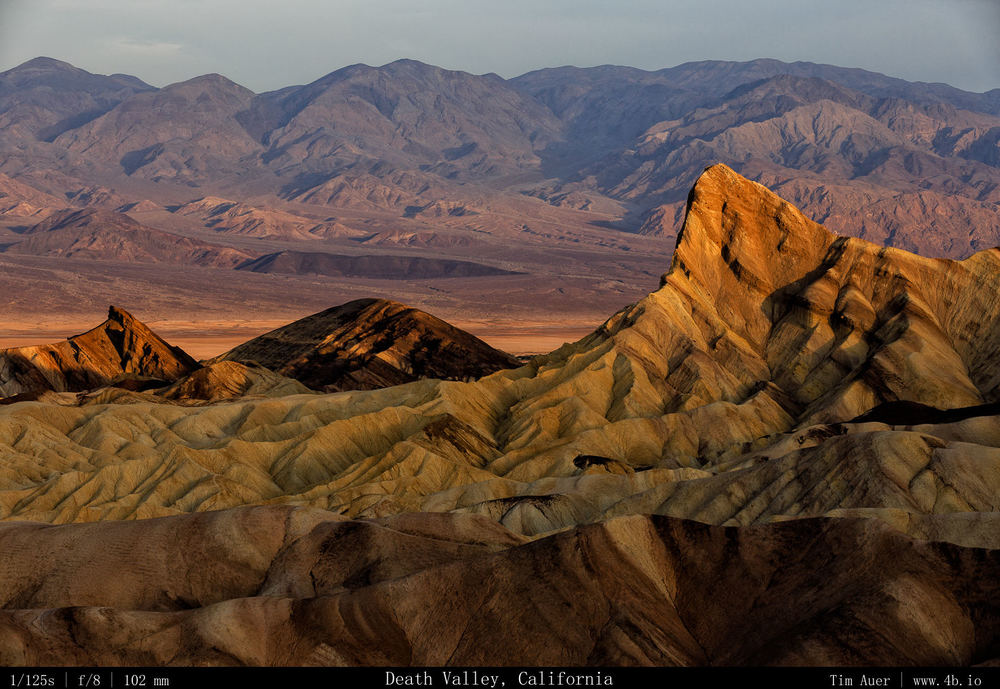
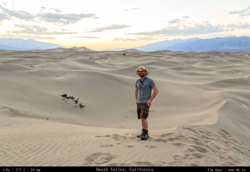
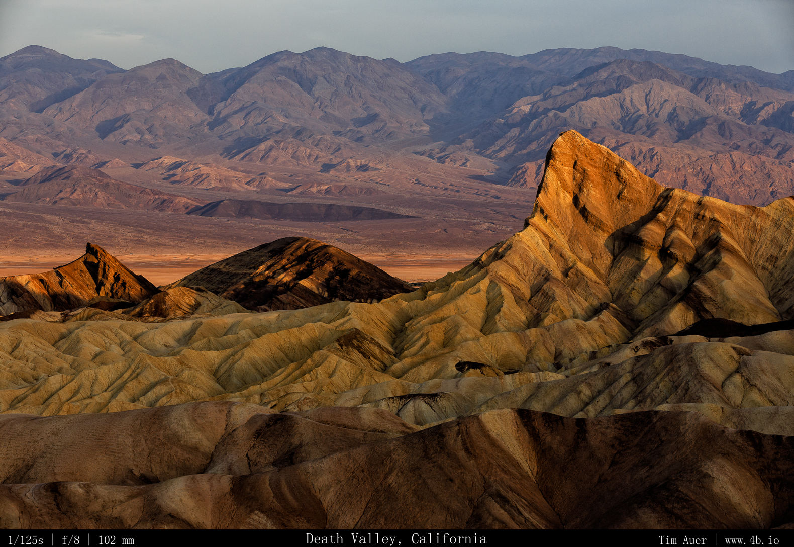
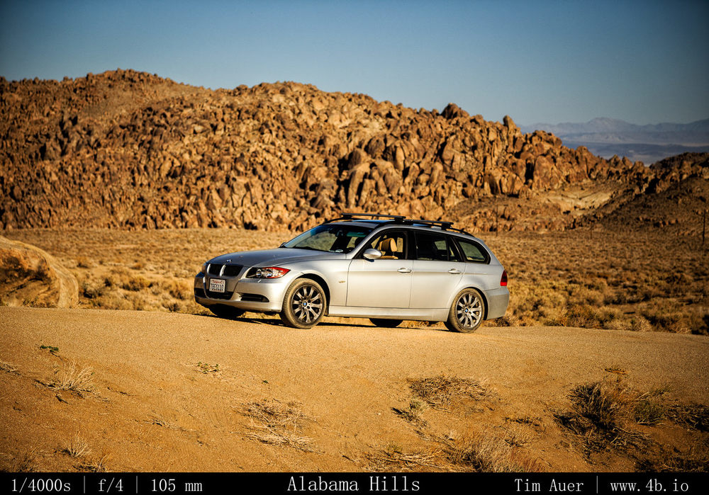
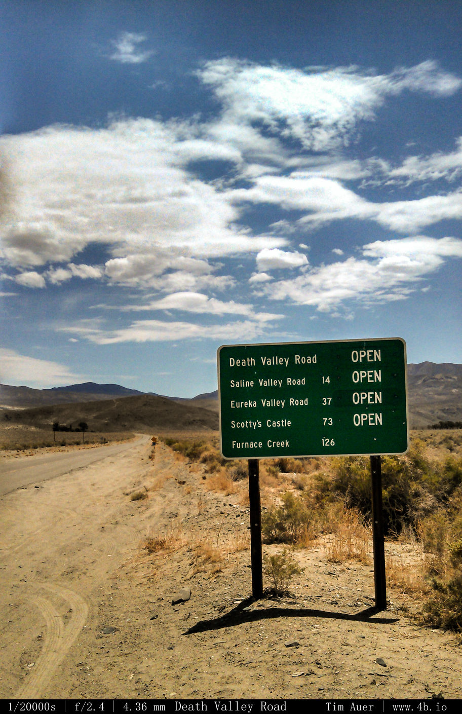
Memorial Day weekend: Desert Road trips was a nice way to kick off the summer shooting season, despite being a bit hotter than anticipated. This trip originally began as an astro centric one, with high speculative hopes that that Camelopardalis Meteor shower was going to produce.  After a hazy first night, and reports that the shower was a dud, I quickly changed gears to focus on rich quality of morning light in this part of the country.  It also had the secondary role to serve as a scouting trip for future visits.  This road trip took me from Mountain View all the way back to Death Valley National Park for the first time since visiting in 2002 with my family.

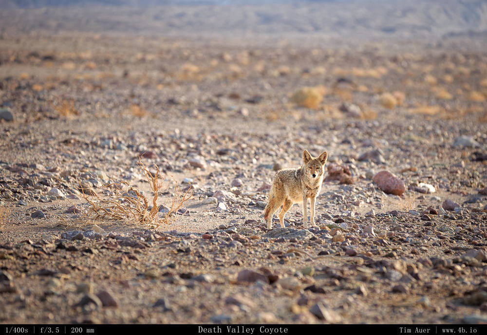
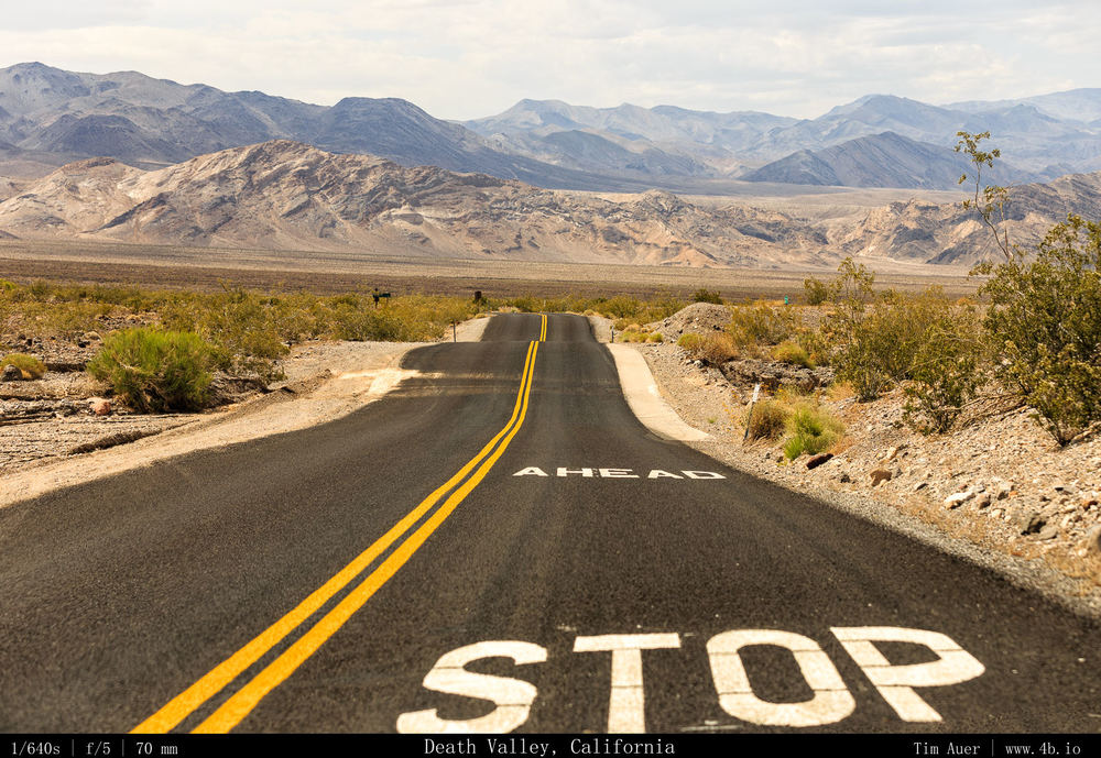
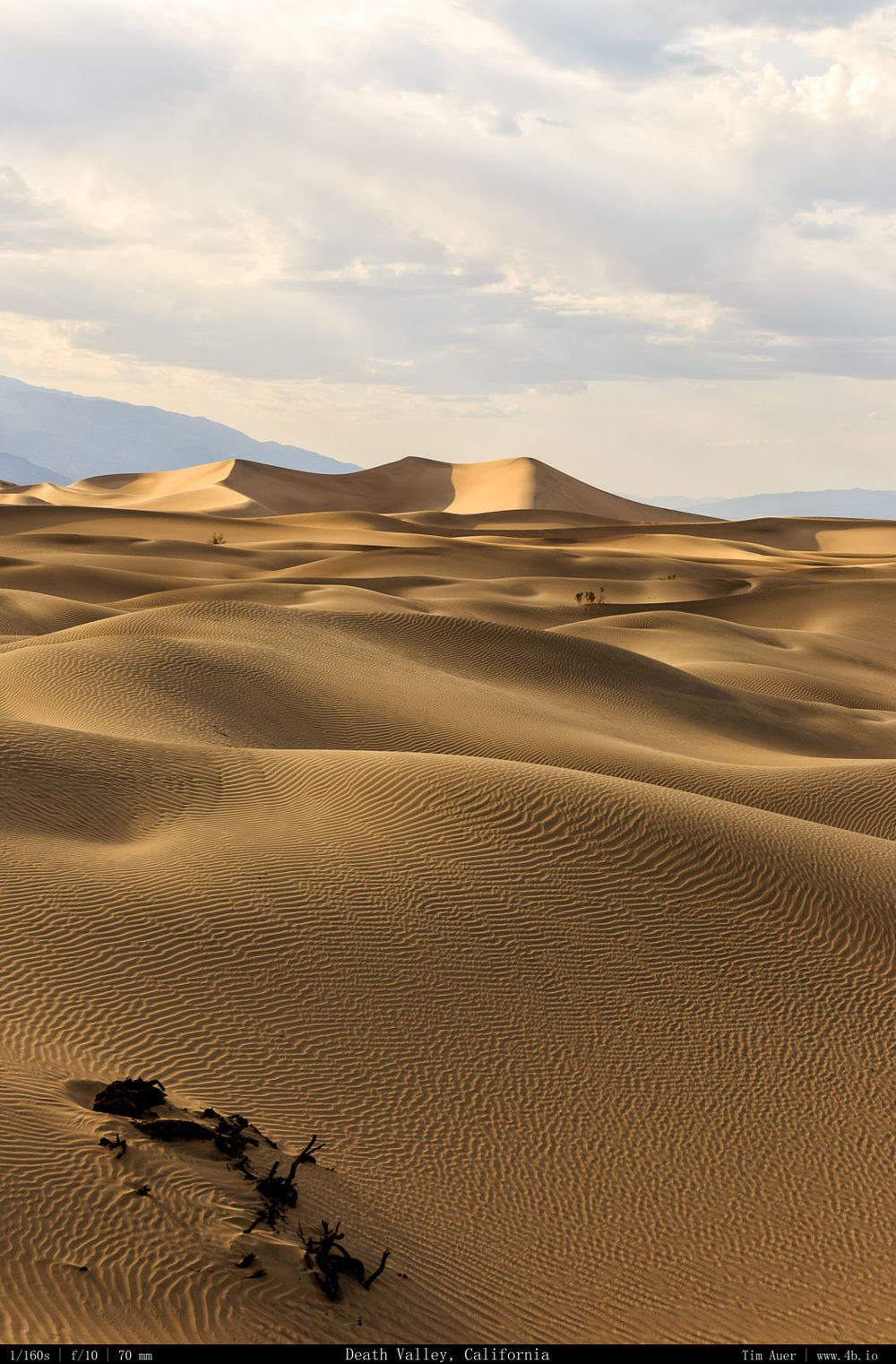
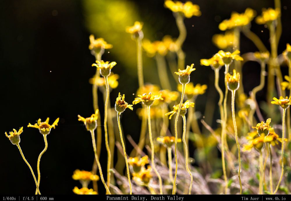
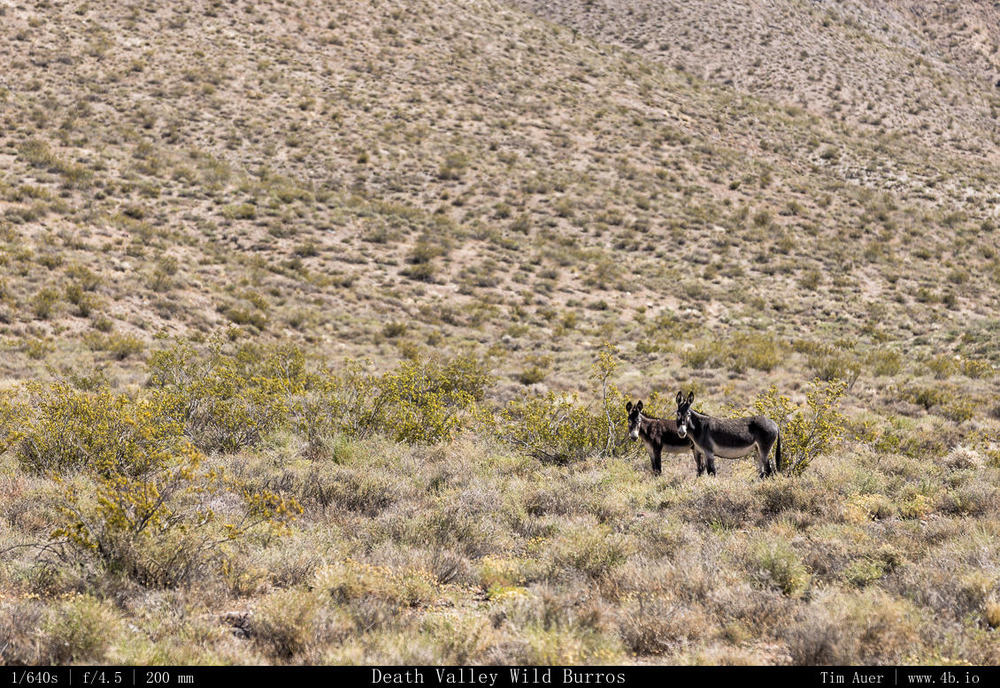
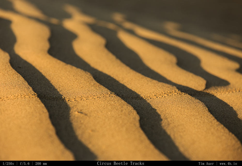
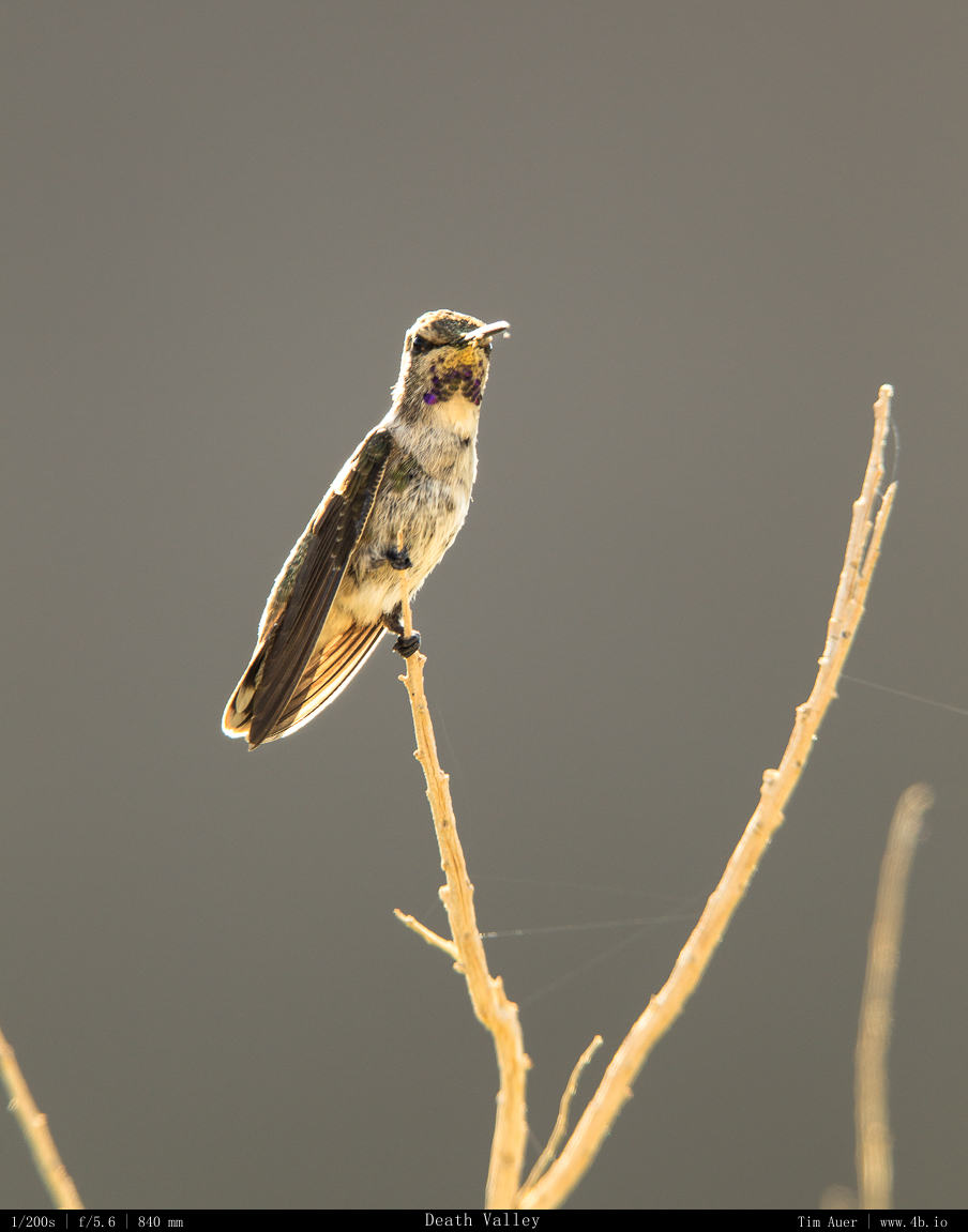
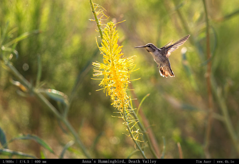
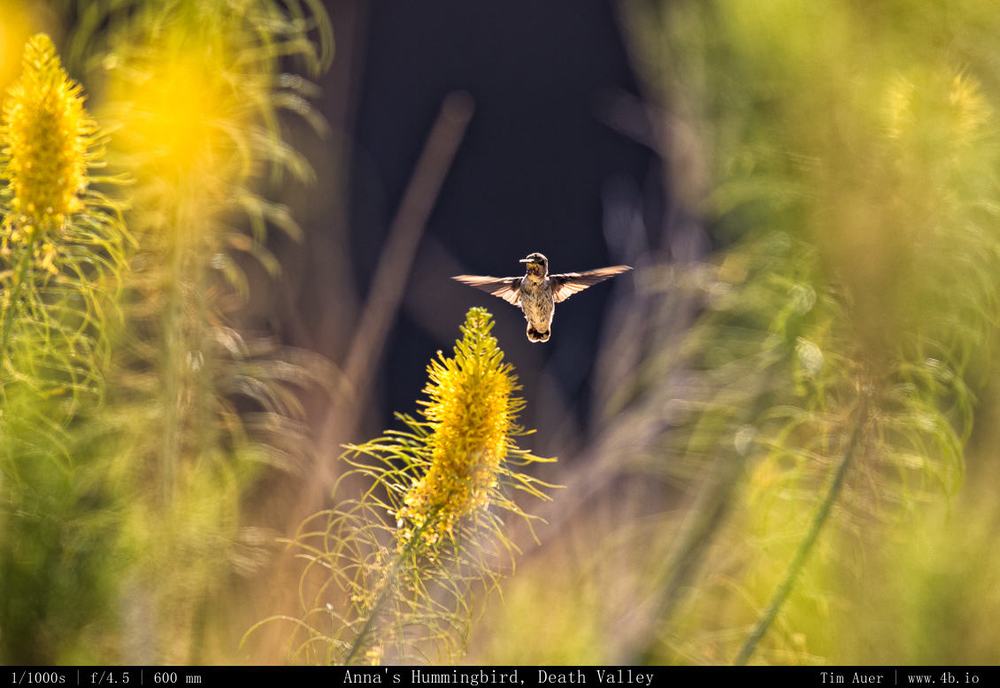
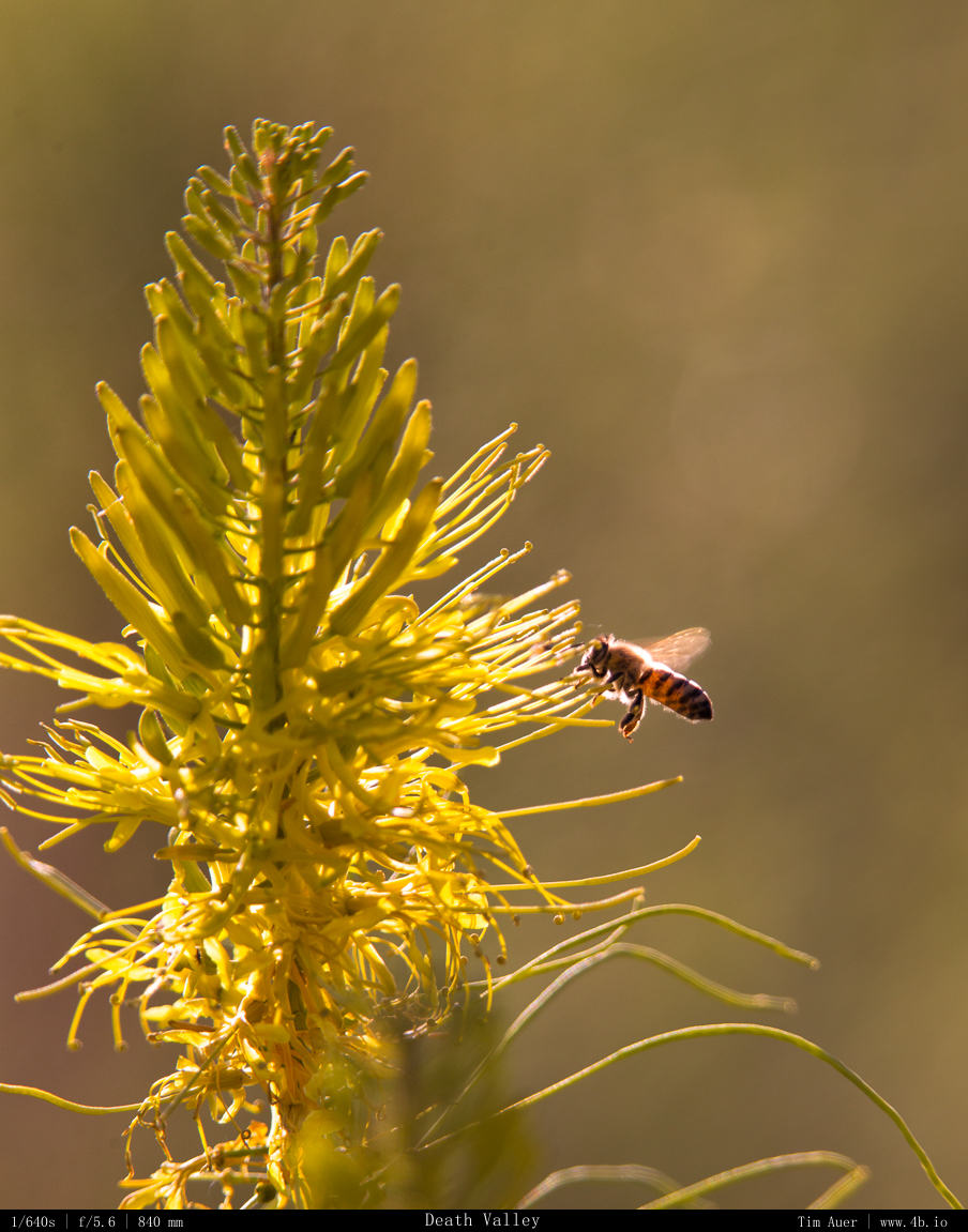
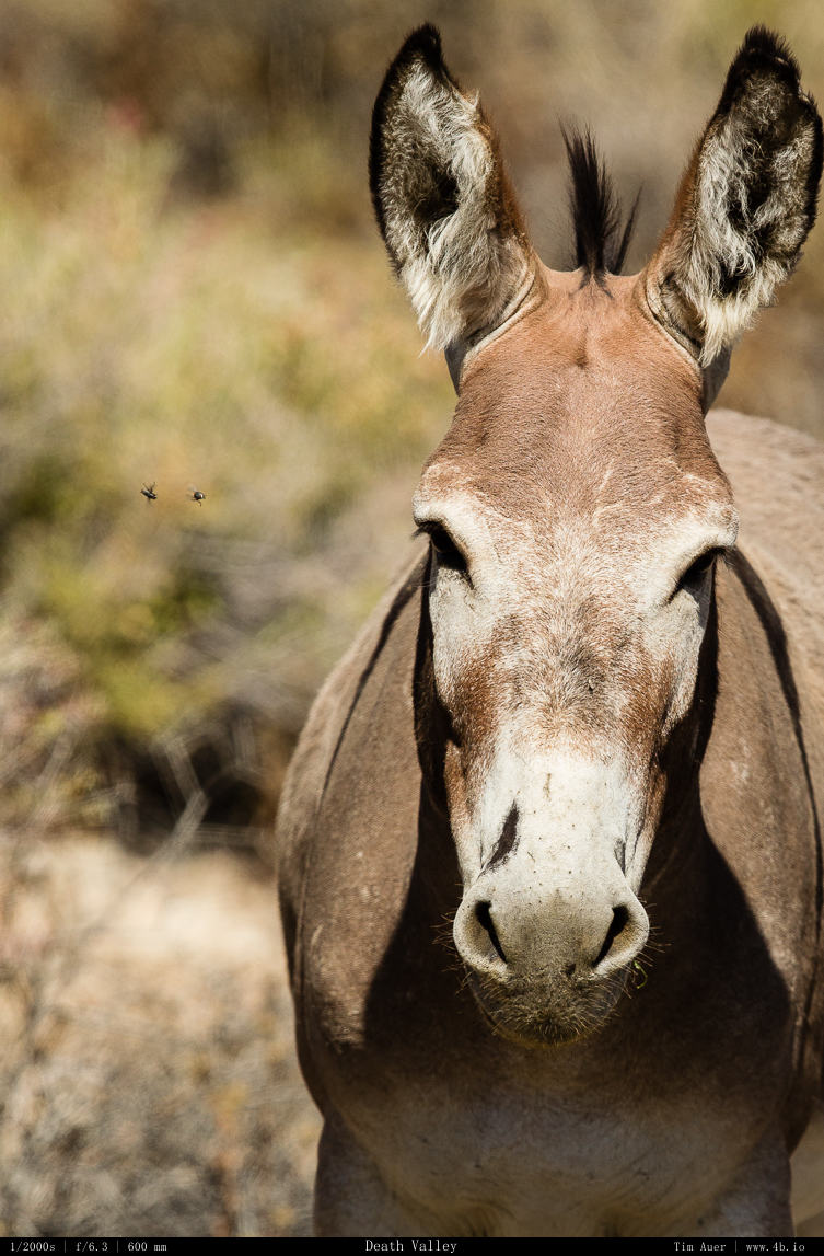
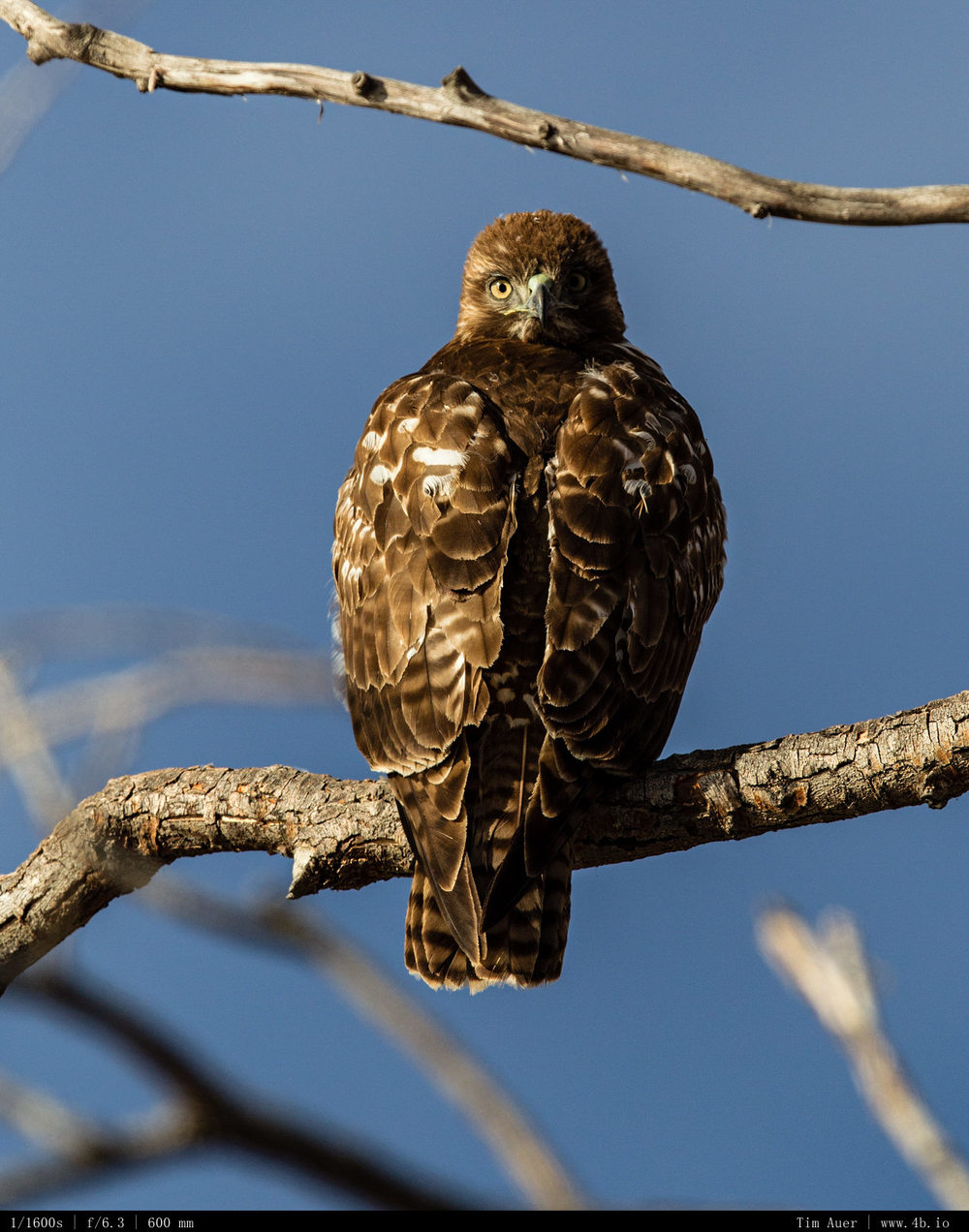
Death Valley is spectacular in more ways than most people realize. Especially surprising was the abundance of interesting wildlife within the park’s border to go along with the landscapes and night photography.  I had packed my 600mm for the trip, but didn’t really expect I would have much opportunity to use it.  I saw coyote, hummingbirds, kangaroo rats, and lizards. I also found a herd of feral burros wandering around. Which was cool to see. They are wild donkeys that escaped the miner’s camps from the Gold Rush era in the 1849-1900s.  I tried my best to find Sidewinders moving across the sand dunes at dusk/dawn, but they seem to be mostly nocturnal at this point in the year, as the temperatures begin to rise. At one point, my car thermometer read 121F (49.5 C).  It wasn’t the official temperature because I was driving out in the sun, but it was  definitely hot. There is something about the extremes of this planet that I, and many others, are drawn too. However, what is fascinating about Death Valley is that while floor is the hottest place in the world, it is possible to escape the heat (and photographically useless mid-day light) by driving up some of the canyons to higher elevations.  The high canyon walls on the road to Wildrose would hold their shadows long into the days and higher elevation had cooler temperatures that animals didn’t mind. These conditions gave interesting glowing backlights to the flowers and whatever animal subjects came out. So I was able to keep shooting all night, all morning and all day. I am already planning to go back there around the Fourth of July for my next “big weekend” trip. 


April Snow Storm in Yosemite

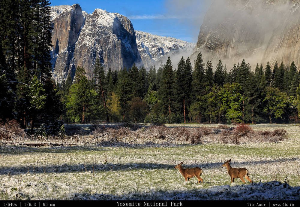
Yosemite National Park, April 26, 2014

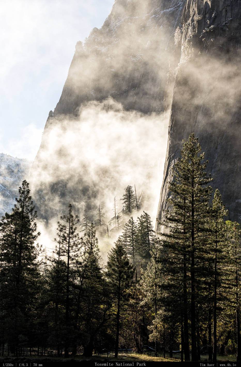
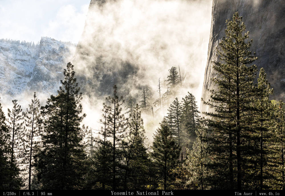
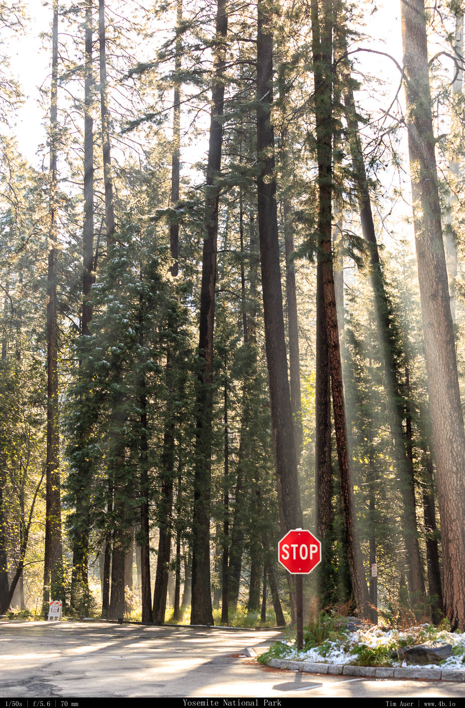
After a dreadfully warm and dry winter in Yosemite, that offered almost zero possibility of a winter snowscape image.  A mid-Spring visit proved to be the perfect opportunity for such a shot.  On Friday April 25, 2014, Yosemite’s weekend weather forecast was foreboding.  100% chance of rain mixed with snow, mostly cloudy, and temperatures in the low 30s.  But as is always been the case with the jewel of the Sierra Nevada, the terrible weather forecast didn’t ruin the weekend.  In fact, these weather conditions enhanced it.  I would rather visit Yosemite on a bad day, than a bluebird one.

Yosemite is frequently beautiful and sunny. And over the past year the beautiful and sunny days have greatly outweighed the cloudy ones.  And no, this is not a proclamation about the California drought and how we desperately need rain here. This post is purely about the aesthetics associated with changing weather.  The fact is (and yes, it is fact) Yosemite, like almost everywhere, is more interesting in a transition.  

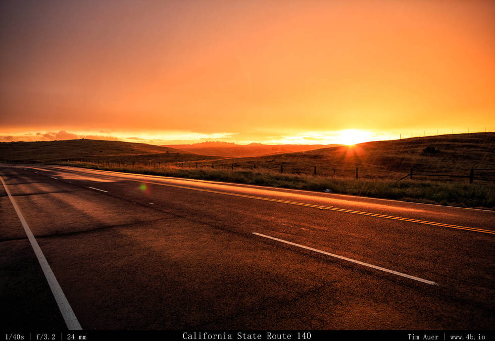
Drive to Yosemite. Transitioning weather on CA-140 as the sunset. Note the rain drops on this image. Behind me was a dramatic full rainbow. 

And in case you were wondering, more “interesting” typically translates to more “beautiful”. 

Colors of Three Seasons in One

A transition can be anything that is in flux, . Off the top of my head a few examples are changing meteorological conditions, such as weather (a clearing storm), changing seasonal/climate conditions (summer to fall), or changing astronomical conditions (sunrise/sunset, night/day).  The astronomical transitions occur daily and will continue to do so until we cease to revolve around the sun. This can be precisely tracked and mapped.  Sunrise and sunset is the baseline for all nature loving people.  A seasonal transition is something that can also be tracked, albeit with less precision.  But the seasons generally adhere to the defining characteristics of that location, governed by the position of the Earth. From the spring blossoms to autumn foliage, seasonal transitions are celebrated worldwide. 

The real wild card here are the short-term meteorological variations, or the weather.  Special weather conditions can create interesting (beautiful) conditions at anytime of day.  It can also washout the day (with rain or too much direct sunlight), leading to images that may be tepid and uninspired.   The weather is  The seasonal variations do have their 

Like a hand in poker, the weather remains unknown until the last moment. 

Each variety of transition mentioned above, is, in someway, related to one another, generally stemming back to the power of the sun. The astronomical aspects influences the length of day, which in turn influences the seasons, which in turn influences the weather, but it is simpler to break it down into three distinct transition categories. Astro. Seasonal. Weather.

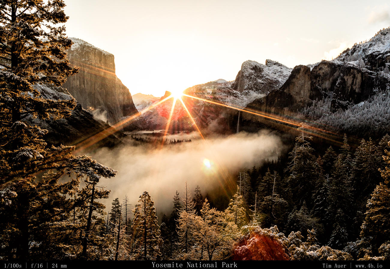
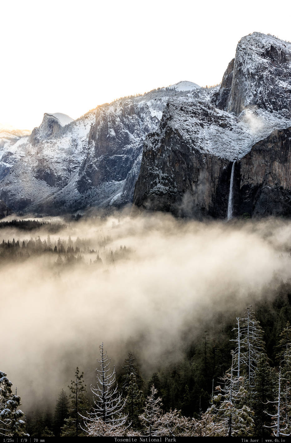
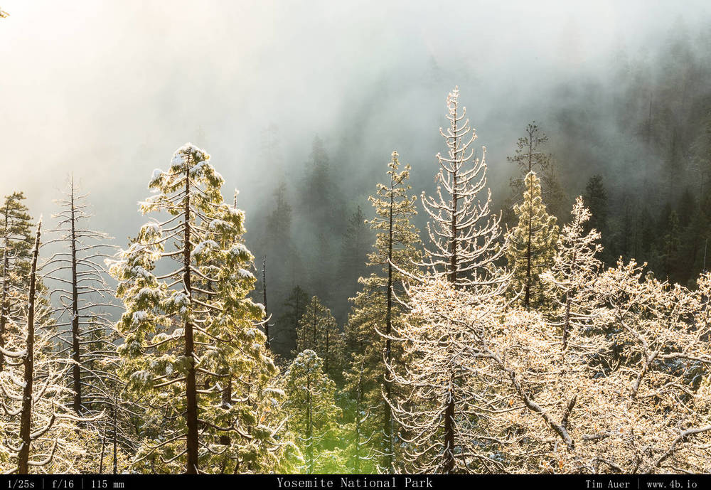
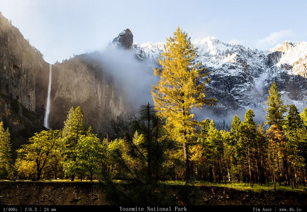
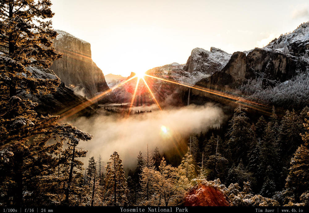
If it is possible for all three transitions to simultaneously come together, you will be rewarded with something special. And this was the situation at sunrise Saturday morning, April 26, 2014, at Yosemite National Park. Here are some photos from that day in the park.

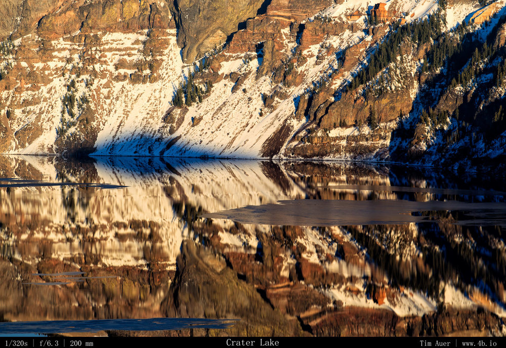
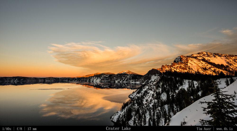
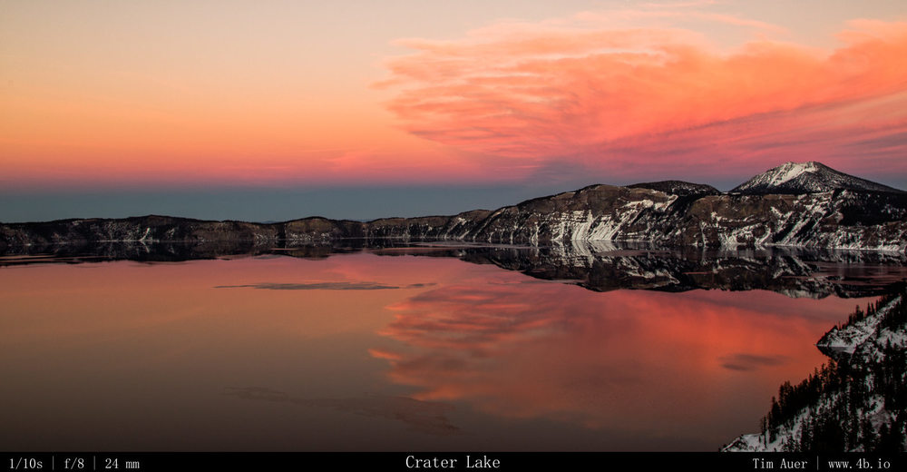
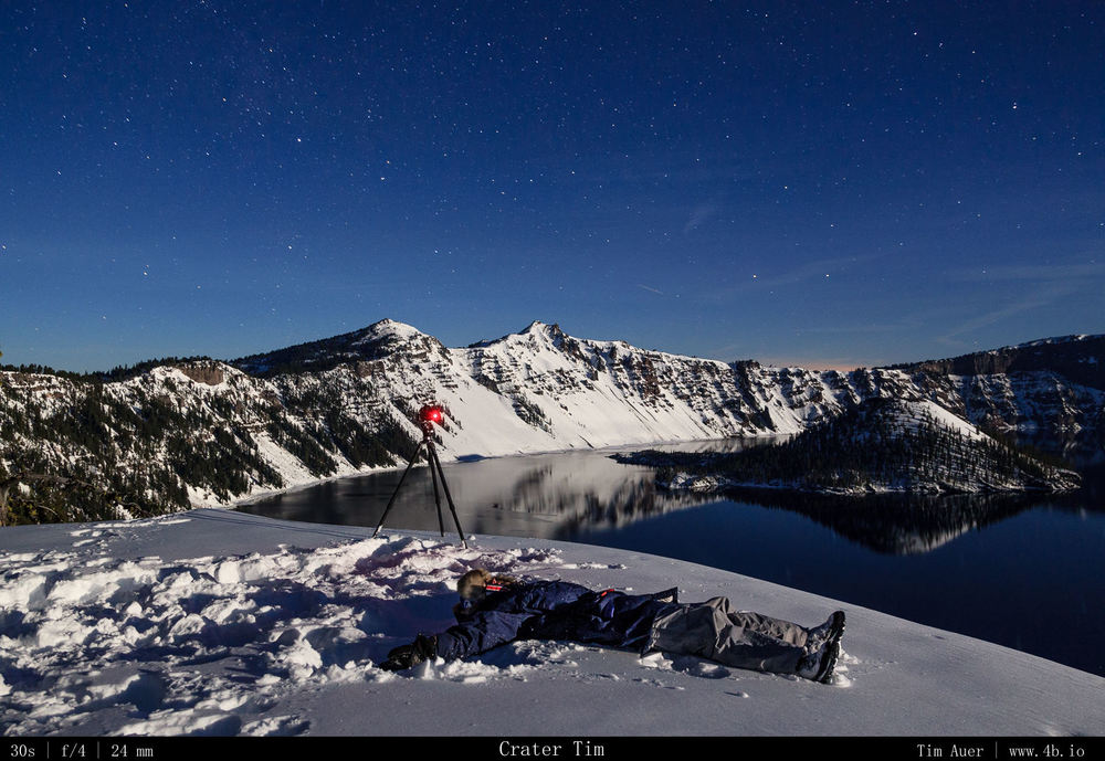
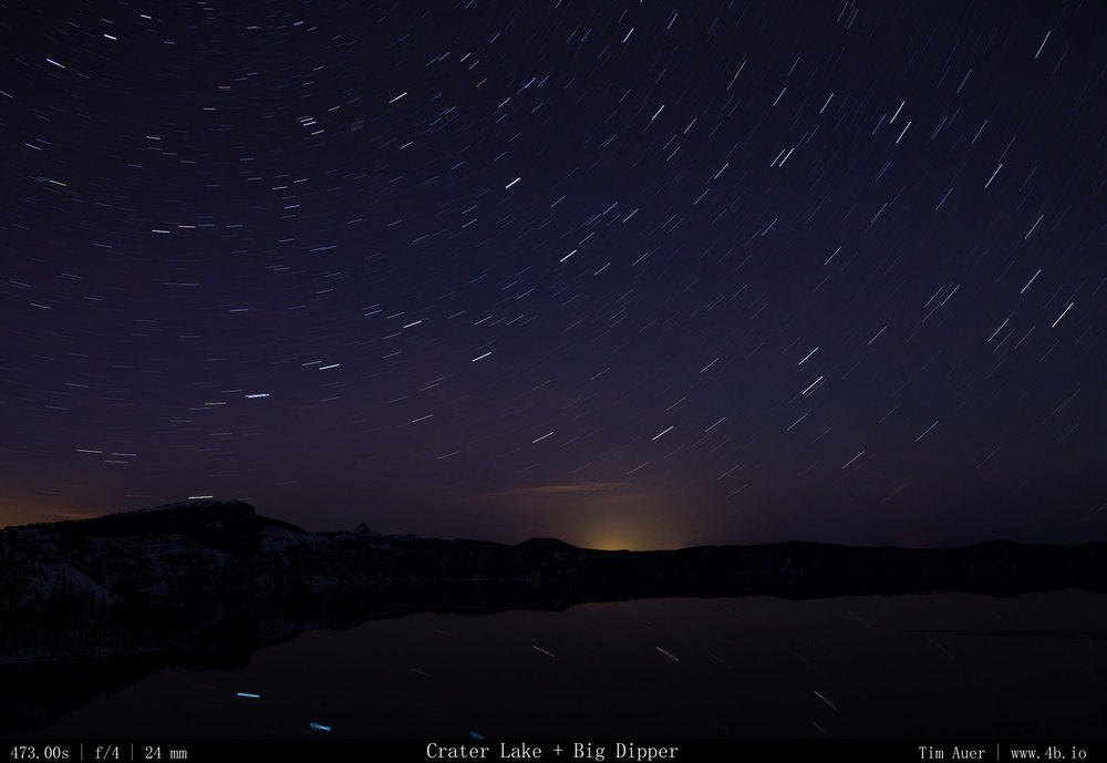
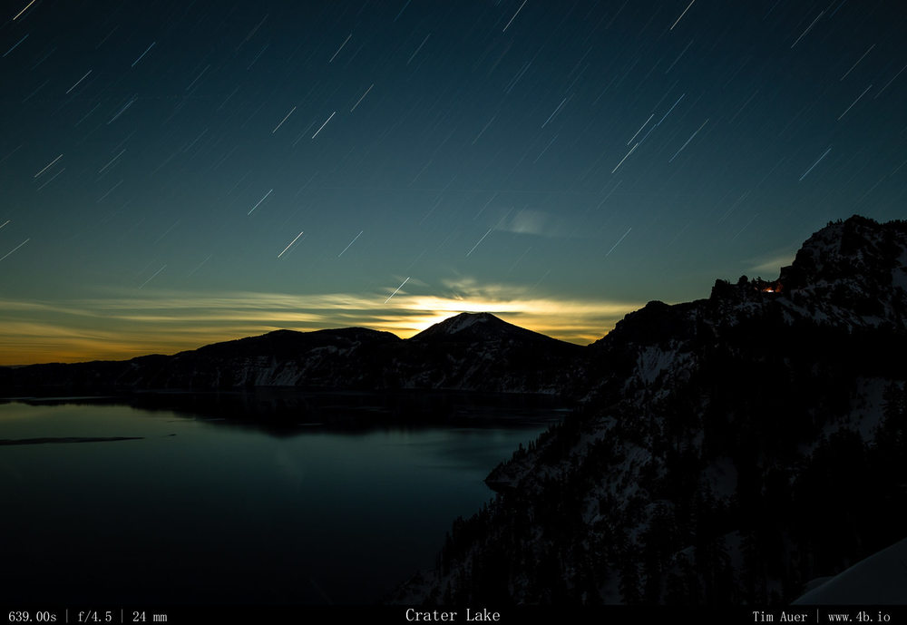
Klamath Basin + Crater Lake + Drought

1324 miles driven over the last 48 hours made for an epic weekend warrior trip.  This time, I drove north to explore what is (in my opinion) true Northern California. I left work at 15:30 on Friday and drove north for 8.5 hours (the Friday rush didn’t help my time). I didn’t leave California once during those 8+ hours.  I came as close as could to leaving the state, by skirting the Oregon border for the last 30 miles, but I didn’t actually cross over.  Northern California is big.  For a state that seems to define LA as being southern California, and SF being northern, I wonder if the first person that made this generalization ever consulted a map…anyway,  I finally reached my destination Tulelake at midnight and camped (if I dare to call sleeping in parking lot car at a wildlife overlook ‘camping’) near Lava Beds National Monument.  I was up before the sun Saturday morning, and I stayed in the Tulelake area the first half of the day, before finally crossing the Oregon border and headed up to Crater Lake. I found my way back into California later that night and “camped” in the middle of the Klamath Basin wildlife refuge and waited for the sunrise to come.  By mid-morning, I pointed my car south and made the long, but enjoyable drive back home, which took only a brief 7 hours in this direction and got me home in time to catch the start of the 49ers game.  So the question is why would I drive so far for such a short trip? And no, I don’t even get the 3-day MLK holiday weekend.   When it comes to my decision making process, it is unclear if there is logic or impulse driving it, and this trip was no different, but there were many other important compelling reasons to go on this adventure, but I will narrow it down to two:

(1) Bald Eagles

(2) Snow

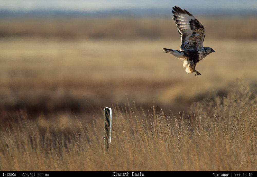
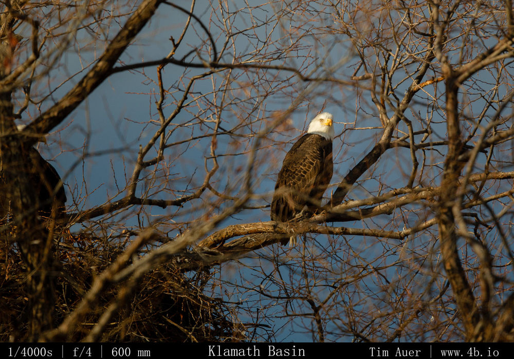
(1) Bald Eagles – The Klamath Basin is considered to be the preeminent location in the lower 48 to view wintering bald eagles. They are funneled from their summer territories in Alaska and northern Canada down the Pacific Flyway to these wetlands along the California/Oregon border.  Here they amass in large numbers and feed on the snow geese that are also wintering over here.  Well, I don’t know what was wrong, but the results weren’t exactly “good” in terms of eagle activity.  I saw about 8-10 bald eagles, but only one in flight, and none fishing or feeding. There weren’t many waterfowl there either.  I don’t quite know what is going on, and plan to investigate this further to understand why, but I wouldn’t be surprised if it has something to with the lack of reason (2)…

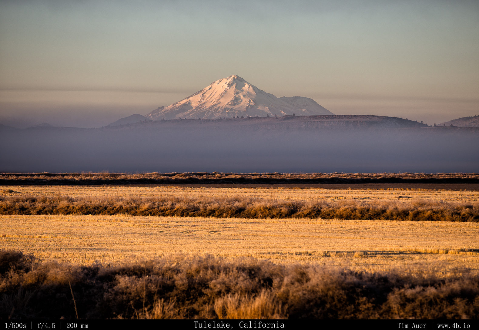
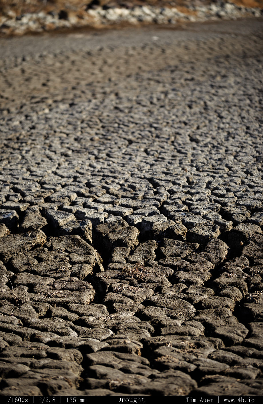
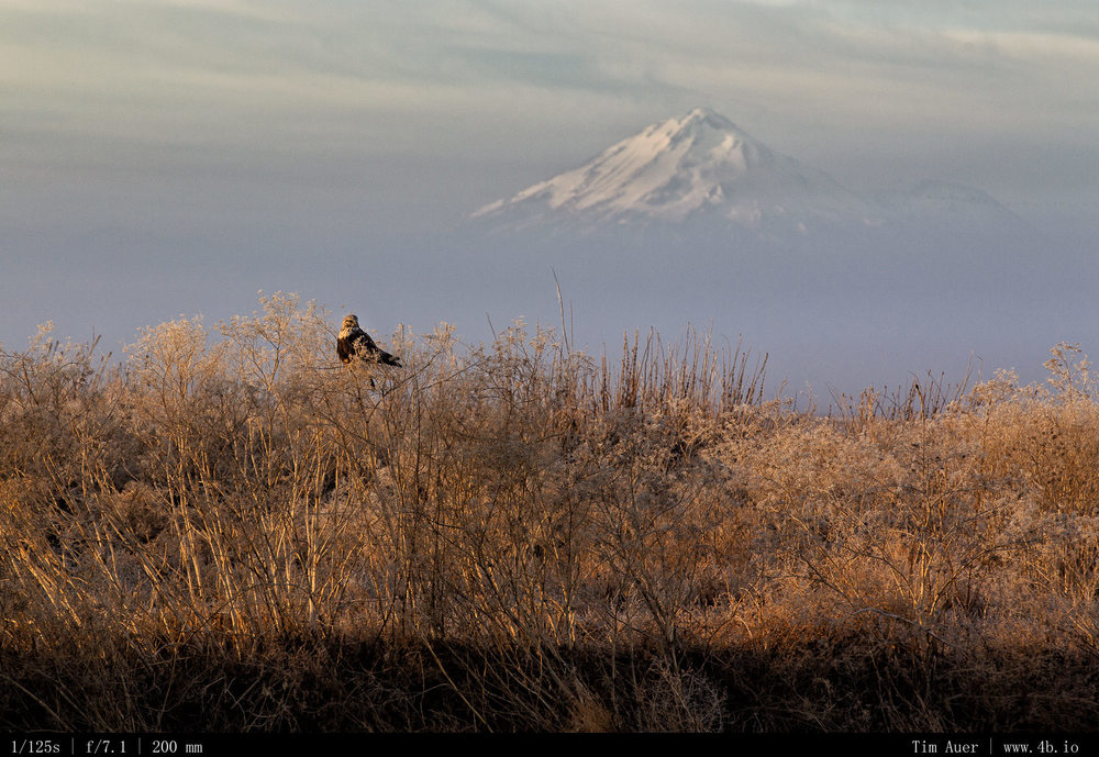
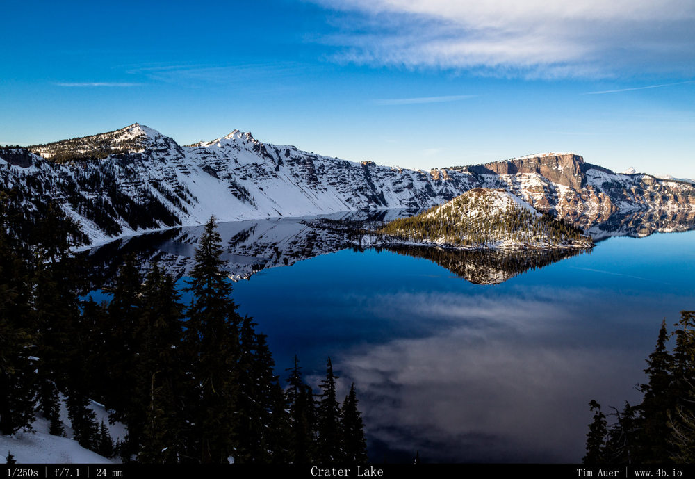
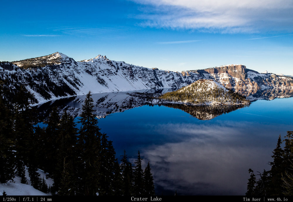
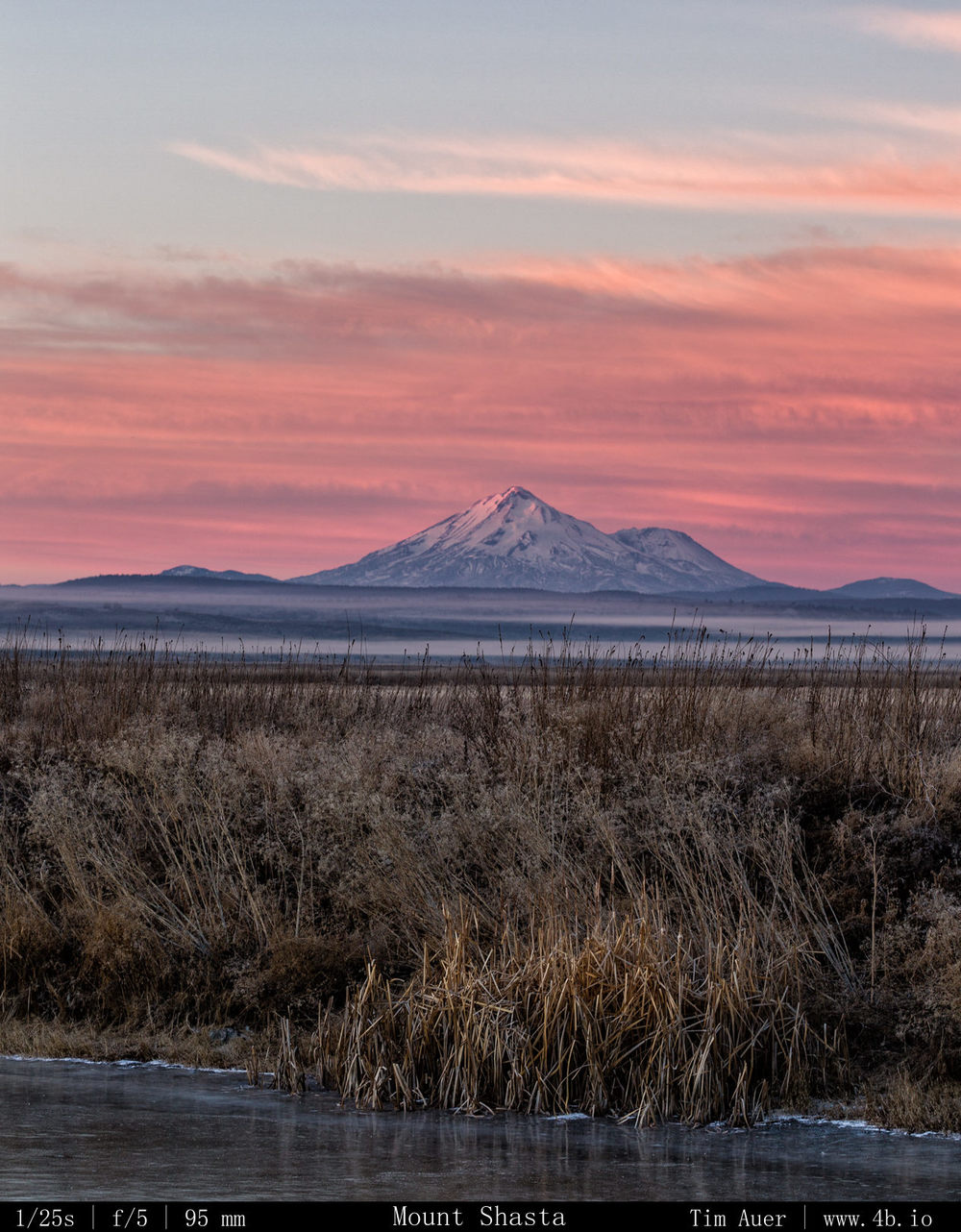
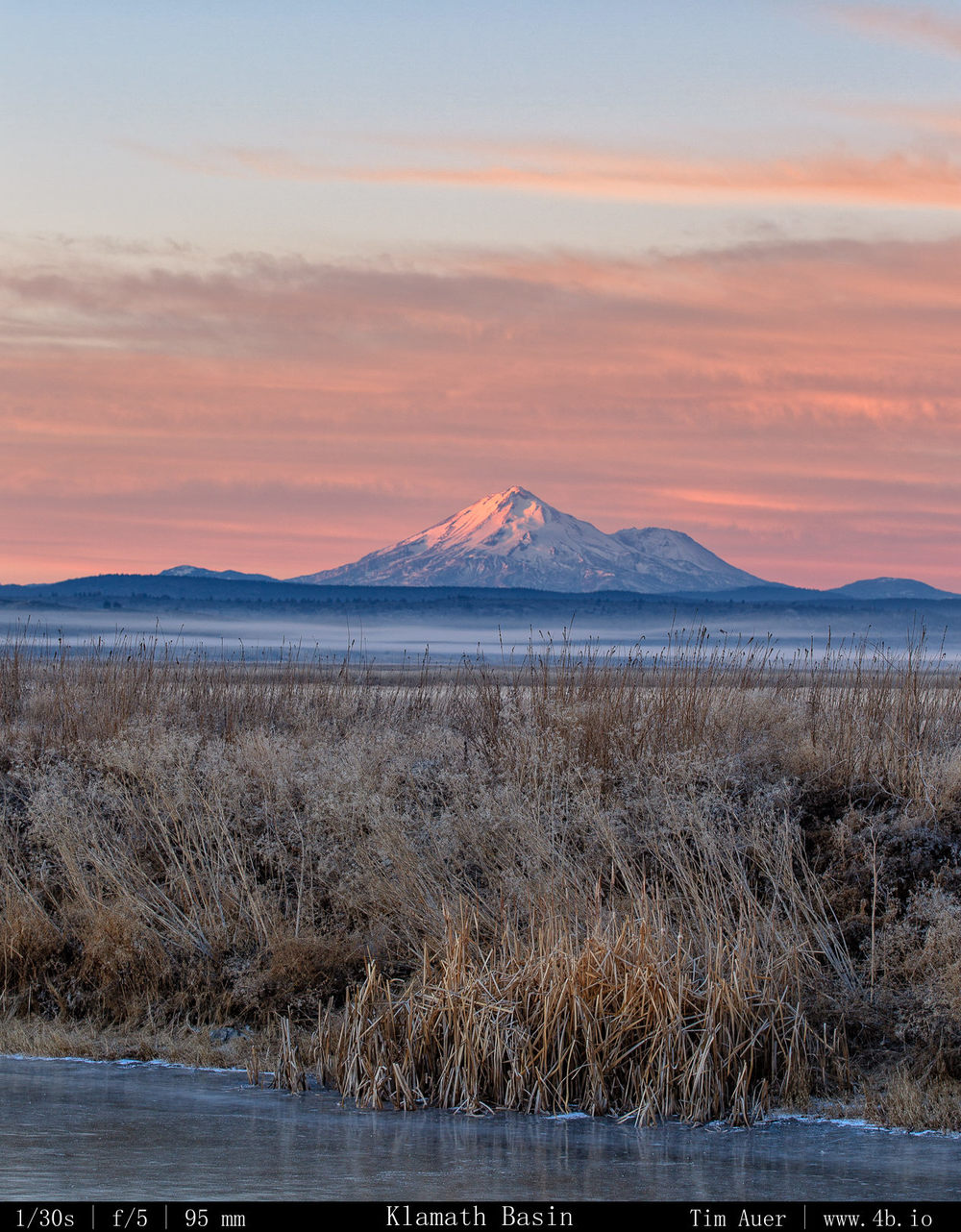
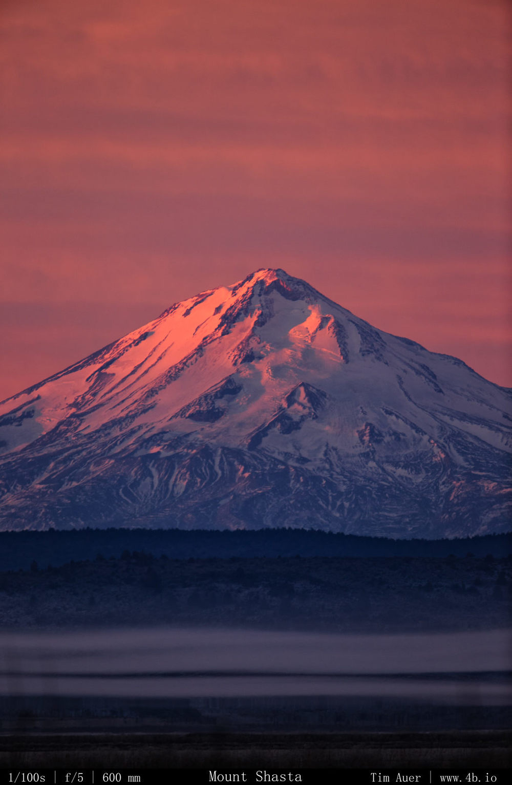
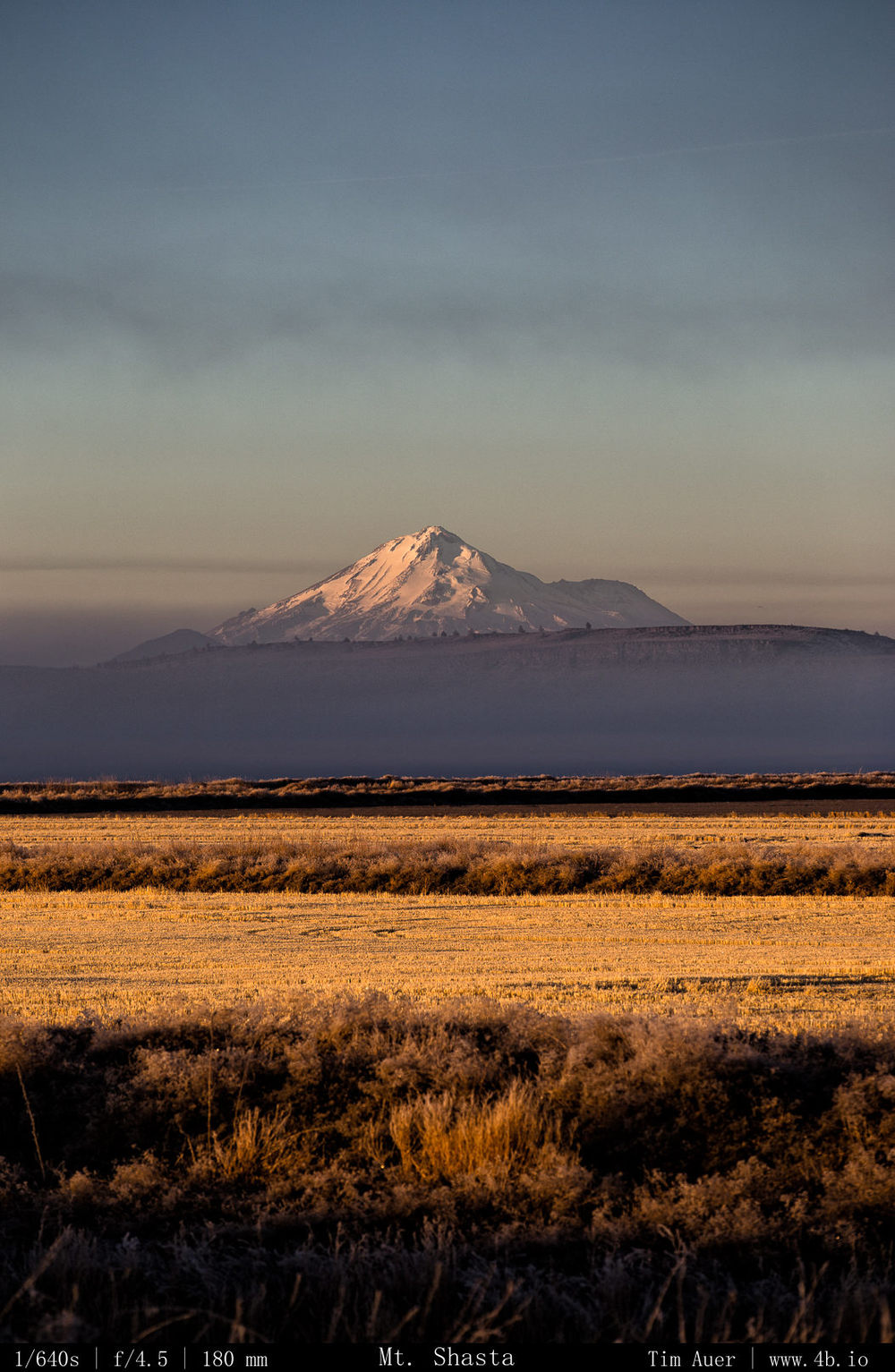
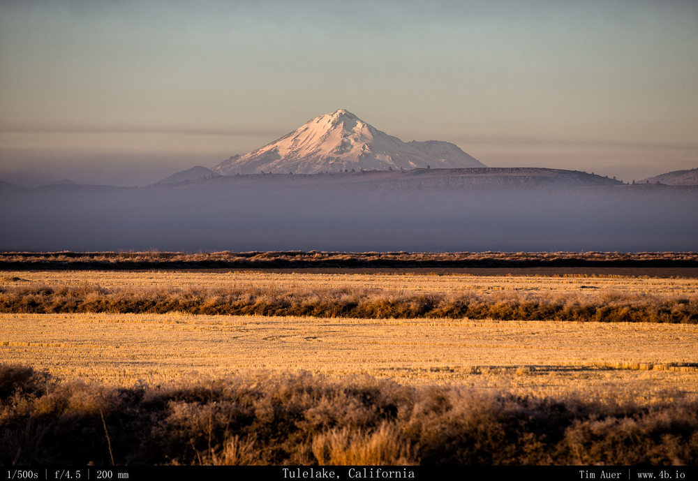
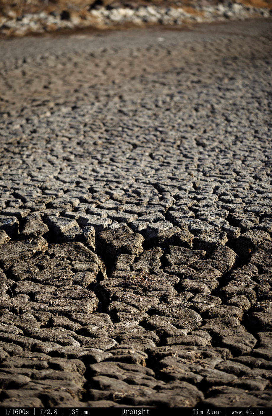
(2) Snow – California is in the midst of a god awful drought, and it is bad for everything here.  The Sierra’s don’t have any snow, which means the water supply won’t be replenished for both human and nonhuman organisms.  In fact, it is so serious I don’t even want to mention how this will impact the prospects of a California ski season (or photographing Horsetail Falls in February).  In the scheme of things, none of that seems particularly important. It is literally drying up and catching fire here. “Southern” California is burning up as we speak with a man-made fire. While not unusual for a state accustomed to wildfire, anyone could tell you that they typically don’t happen during the “wet season” of January. The drought’s impact was made crystal clear on this weekend’s drive.  There was no snow anywhere in the Klamath Basin, it was still cold (nighttime temps around 5 F), there just wasn’t any moisture.  Even Mount Shasta looked strange and uneven.  The north and eastern faces appeared to have a lot of snow, but the western face, as viewed from Weed, CA was barren and brown.  (I also want to investigate the exact reasons behind this too).  I did eventually find snow, when I drove north two hour to Crater Lake. But the news wasn’t great there either, while there was about 3-4 feet of snow covering the rim, this is only 24% of the average snow level for this date. 
 

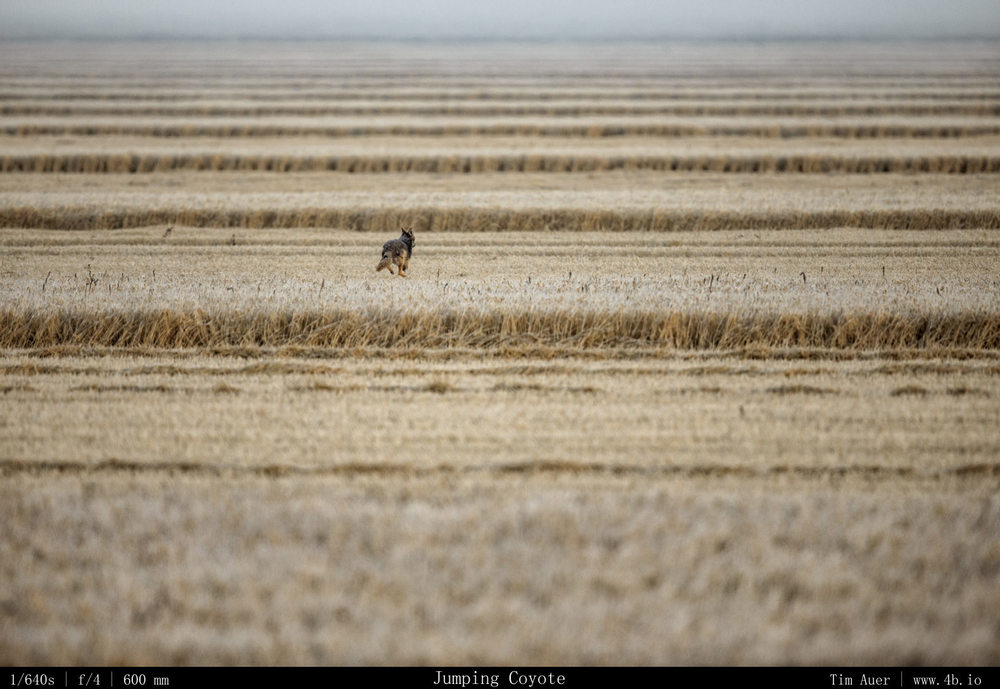
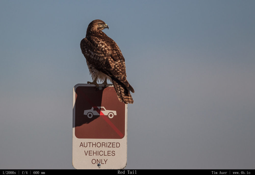
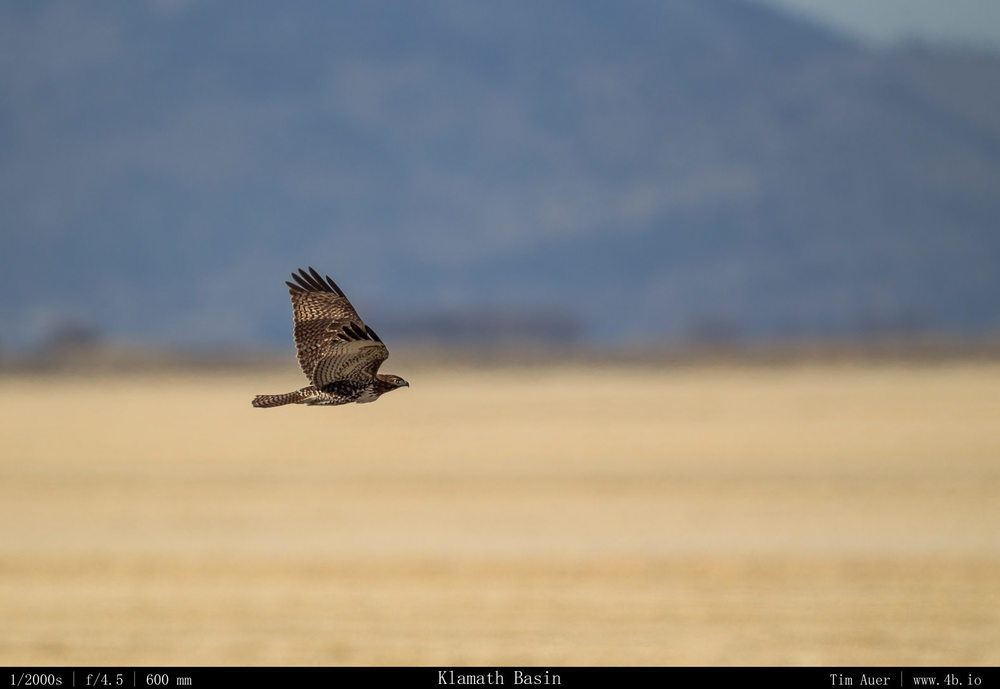
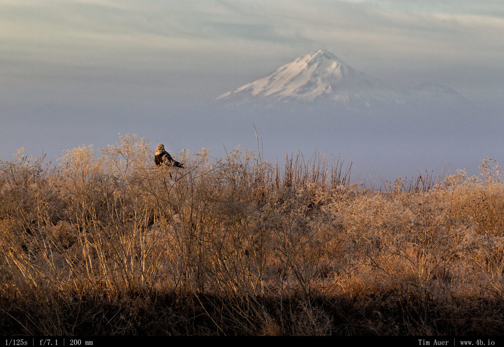
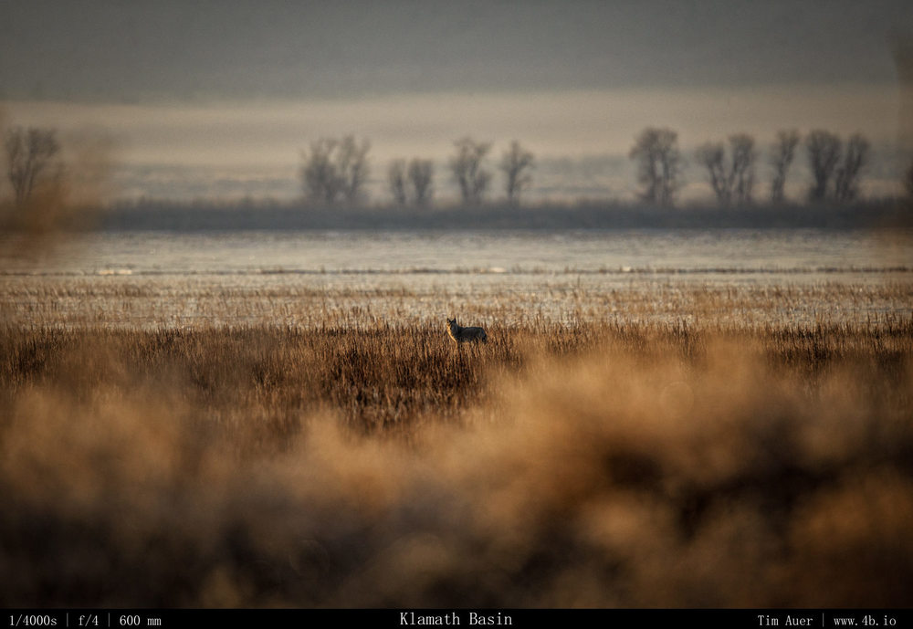
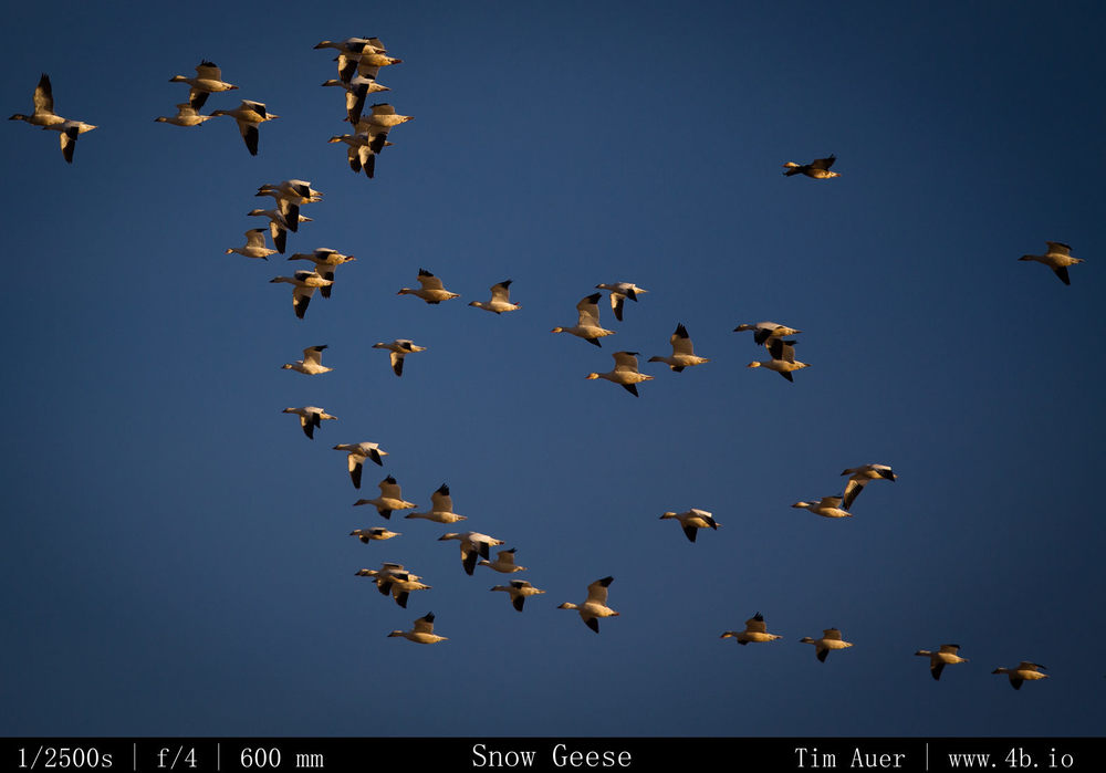
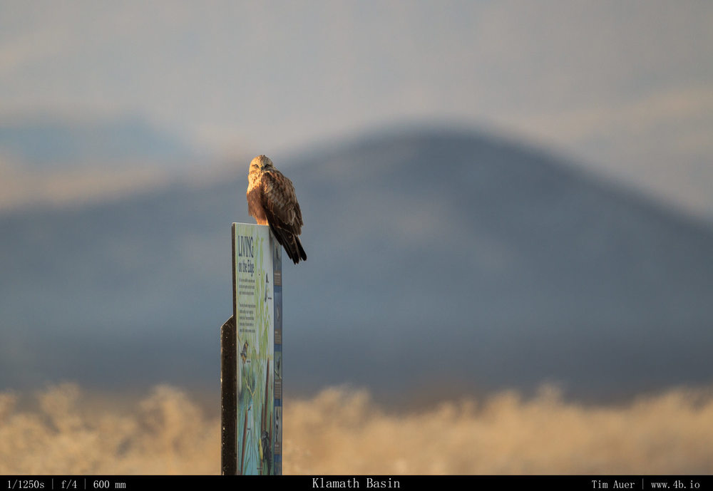
The outcome of this trip was a bit different than expected (limited eagles), but overall it was far from disappointing.  I finally found a top-notch wildlife viewing location in California.  Natural beauty is easy to find in this state, almost anywhere you look is beautiful, but wildlife frolicking in those scenes tends to be rare.  And while the eagles weren’t performing (the nerve of those wild animals!), their cousins in the hawk, harrier, and falcon clans put on a great show. Plus I saw over 10 coyotes, several flocks of snow geese in formation passing by, California pheasants, black crowned night heron, mule deer, and in the two mornings there were two stunning Mount Shasta sunrises. That, combined with the prospect of grappling eagles, pronghorn, black-tailed deer, owls, and others the Klamath Basin is a highlight of California’s natural heritage that hasn’t yet been tagged and spoiled like many of the bears in Yosemite Valley.

After visiting Crater Lake for the second time in my life, the first was summer 2004, I left the park convinced it is at its best in winter.  As is the case for many other national parks, winter provides a more peaceful and beautiful natural experience.  Even though the park is limited to a tiny parking at Rim Village, and the road that circumnavigates the rim in summer is closed, I felt like there is more potential here during the snowy season than in the summer. The road closures and winter weather limits the amount of visitors, allowing plenty of space for snowshoeing, cross country skiing, and winter camping, all while having a view of the lake.

And finally this weekend served a great dry run for my upcoming trip to Yellowstone in two weeks.  I worked on my wildlife tracking, practiced shooting in the cold, and figured out the last bit of gear I want/need to bring with me to Wyoming.

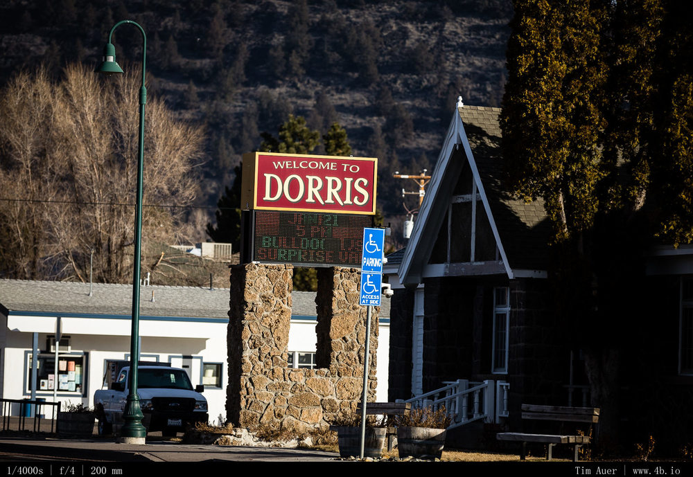
Plus there was a town that had the same name as my mom….with an extra “r” in the spelling…

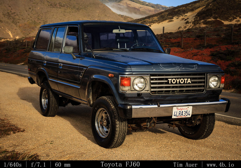
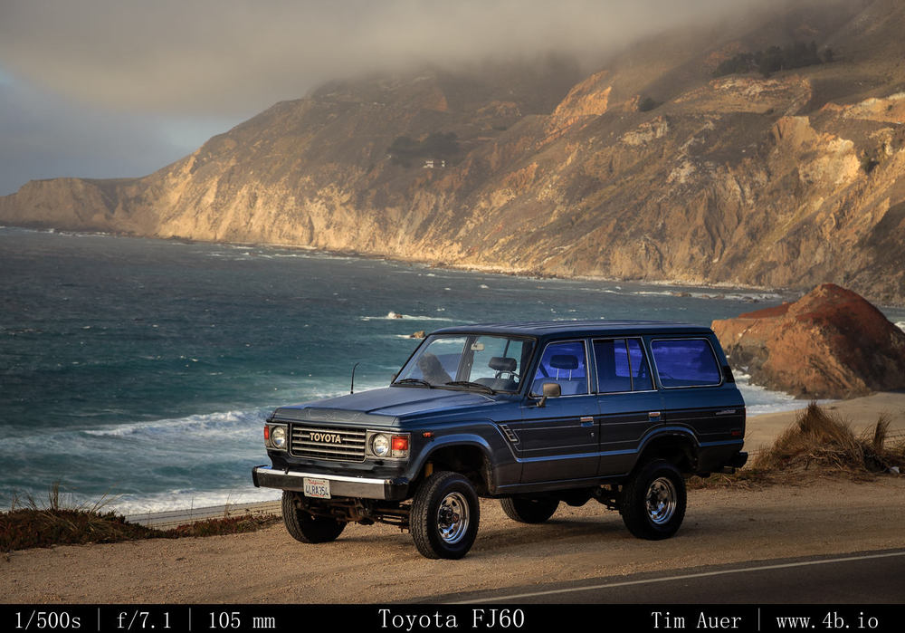
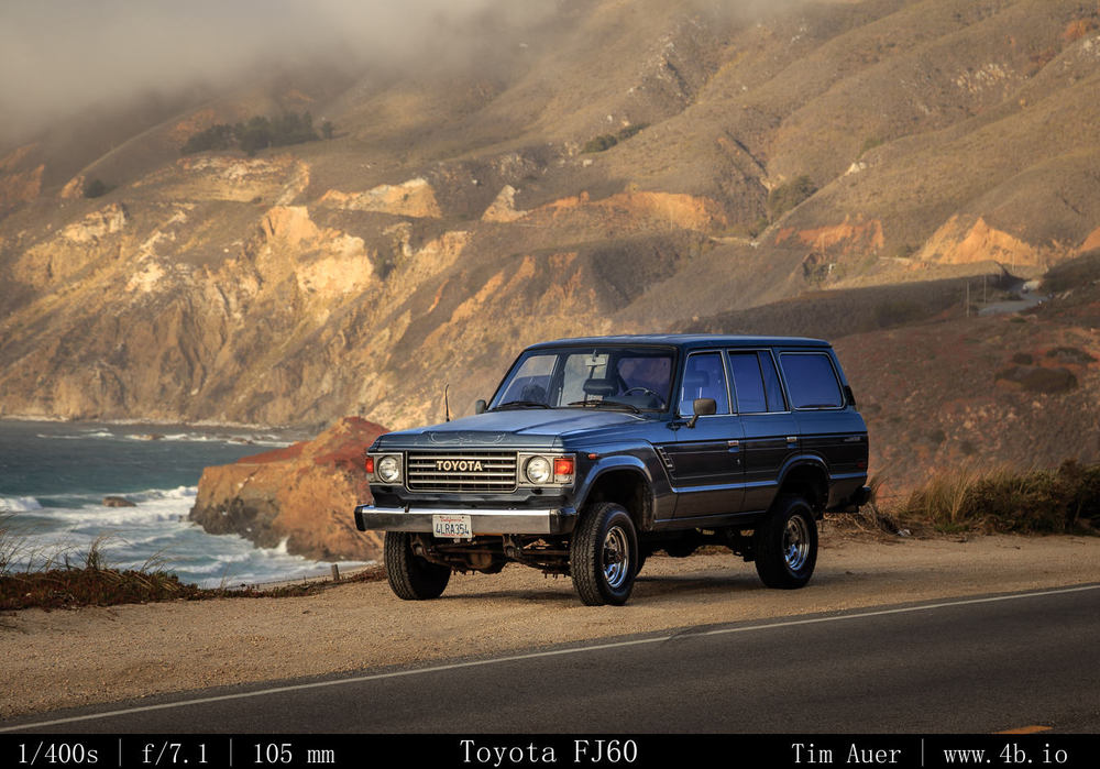
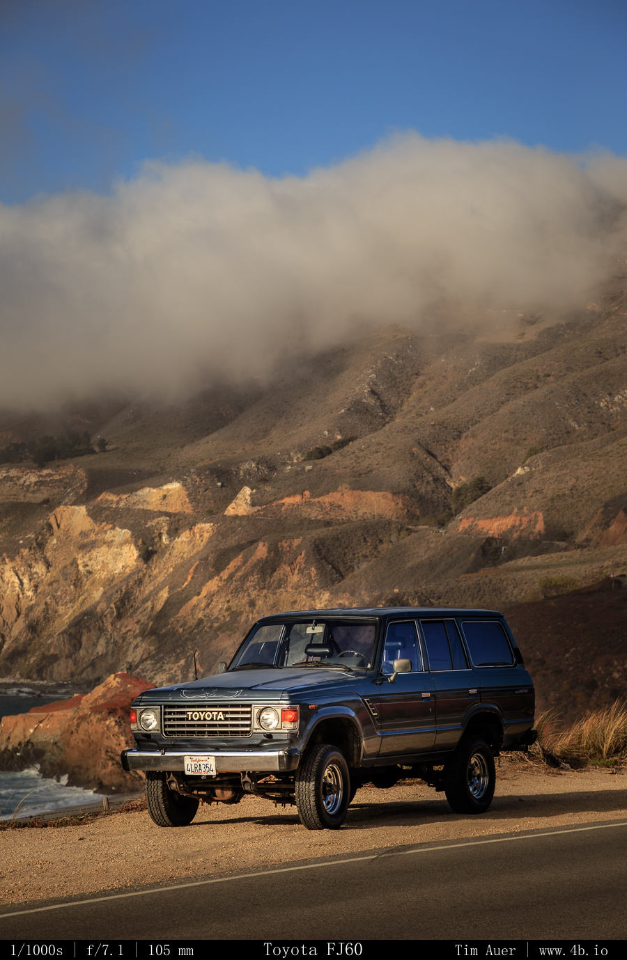
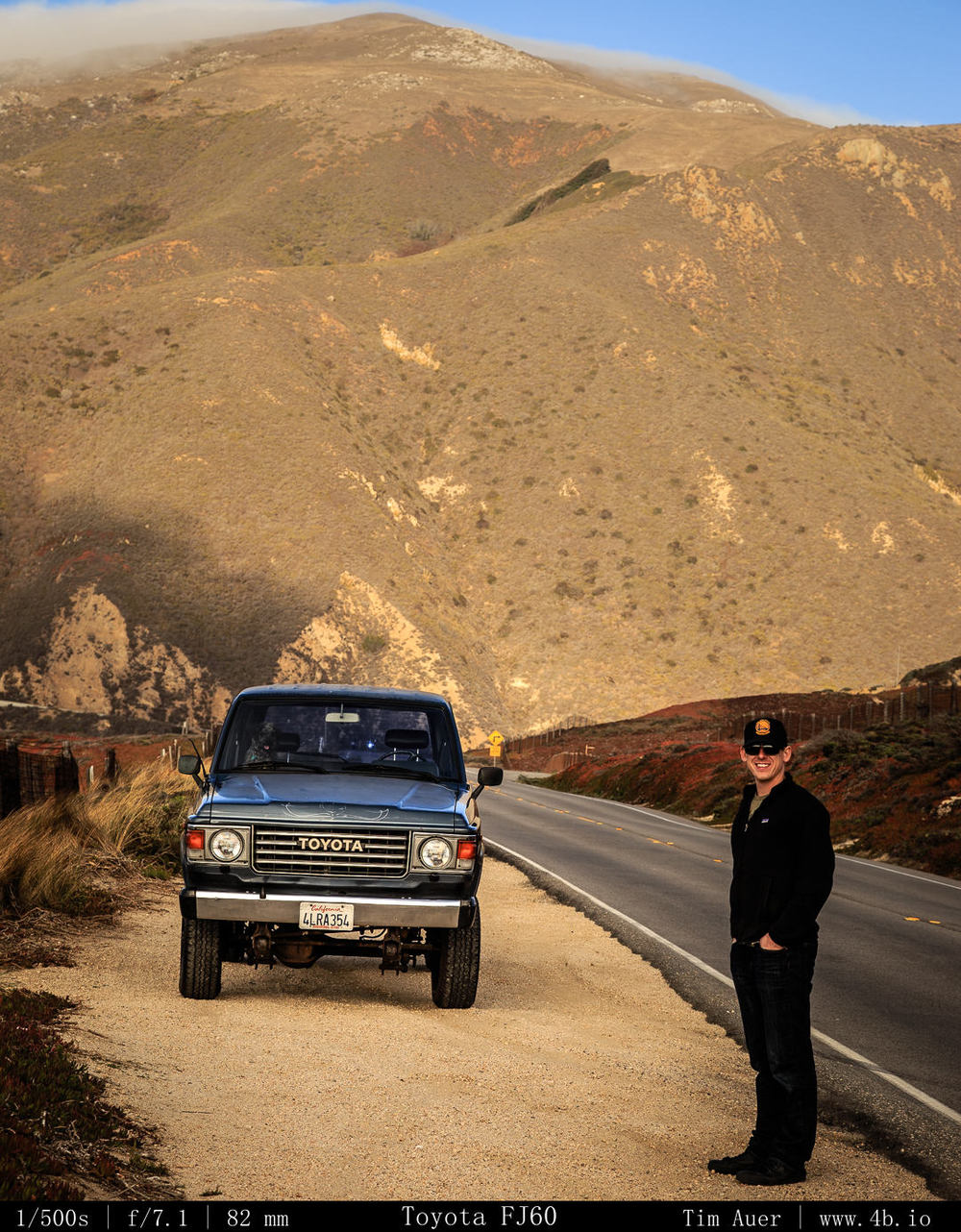
Toyota FJ60 Land Cruiser

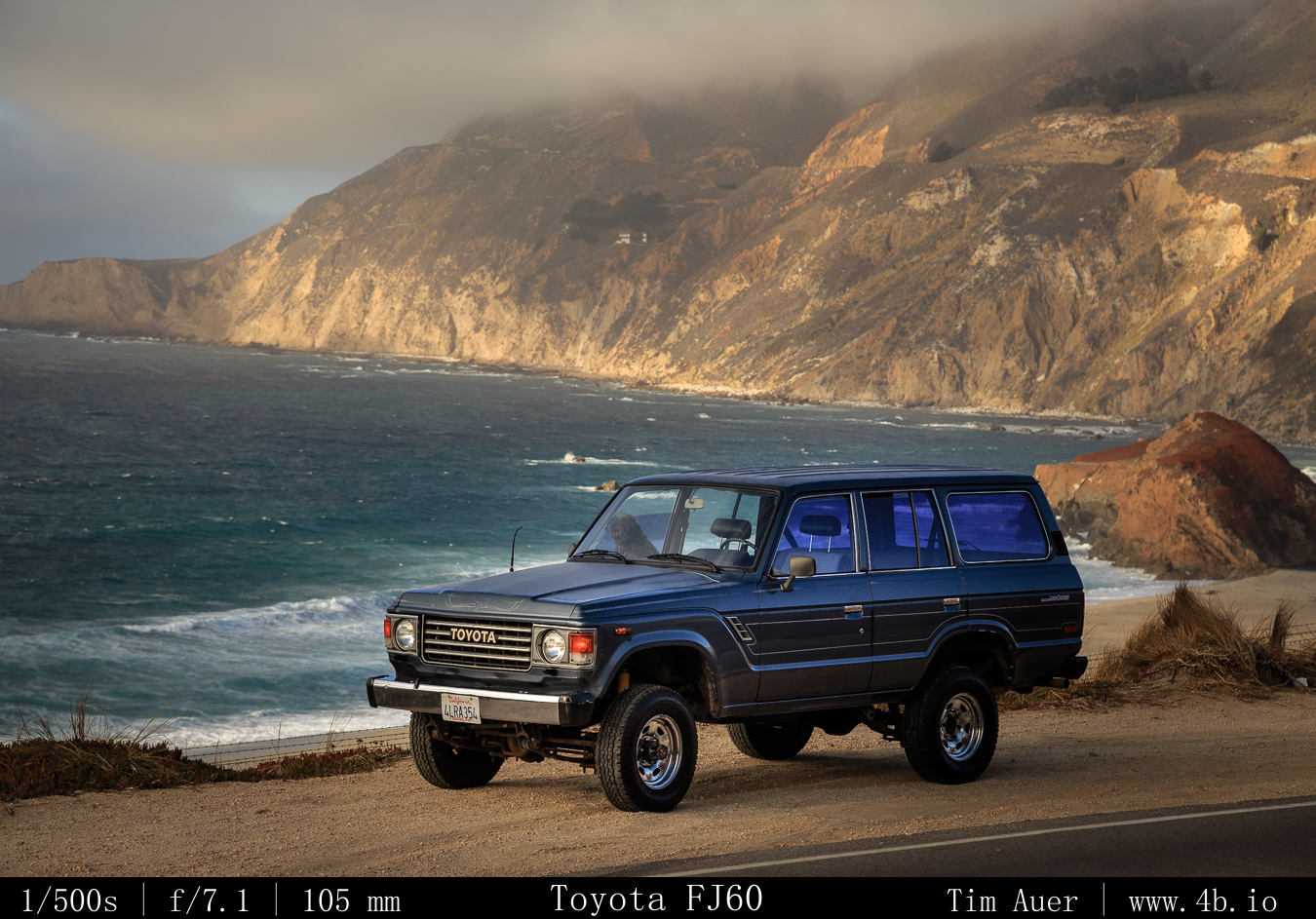
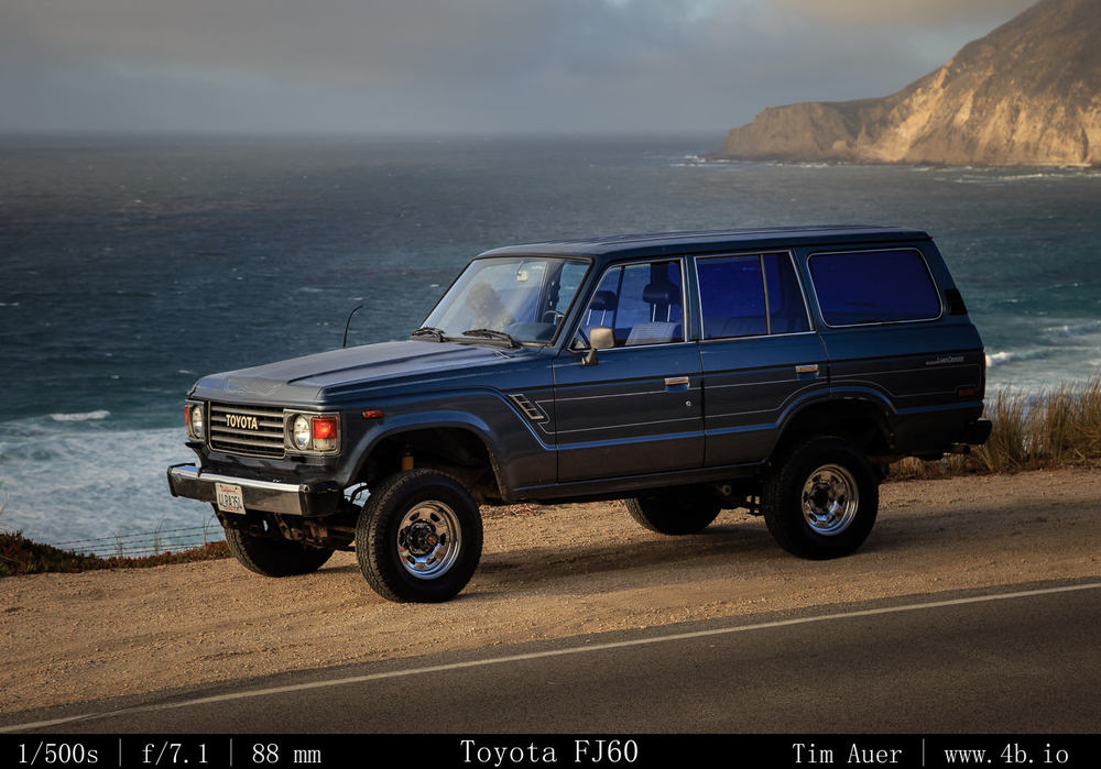
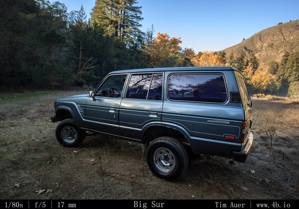
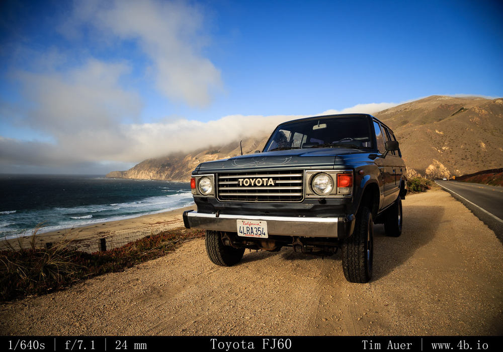
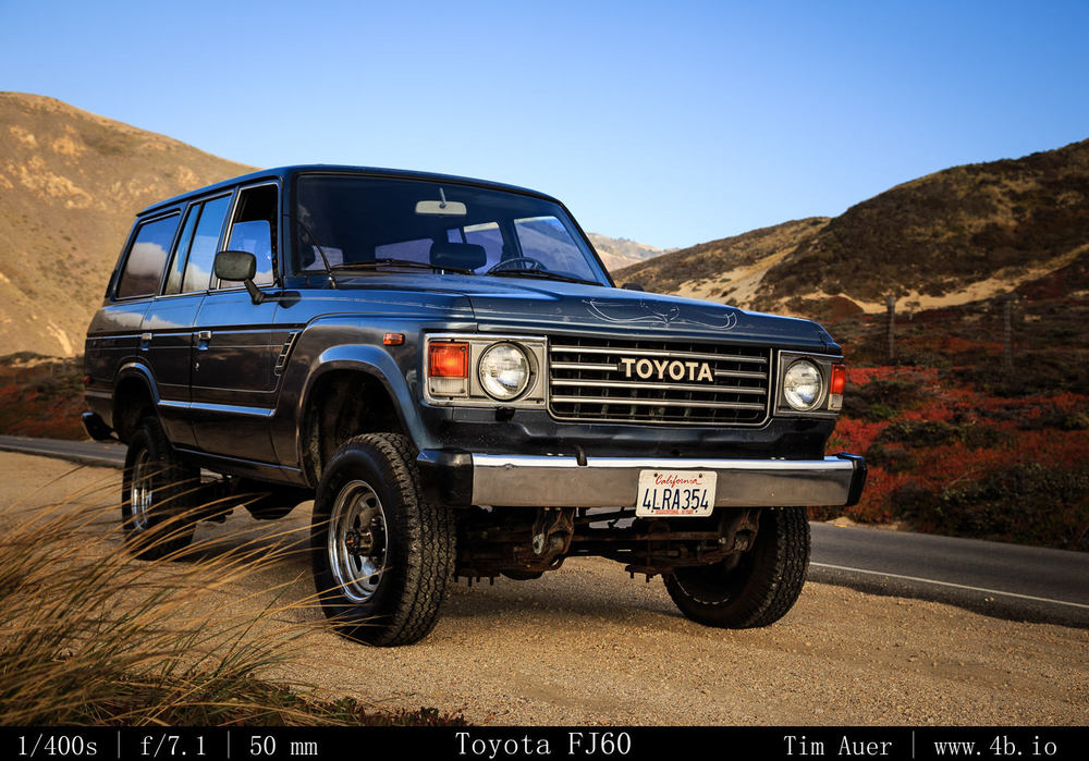
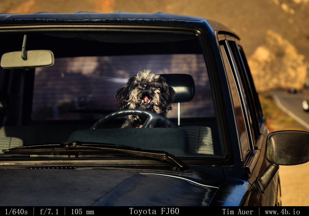
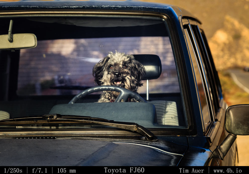
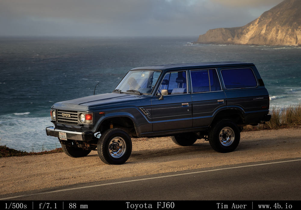
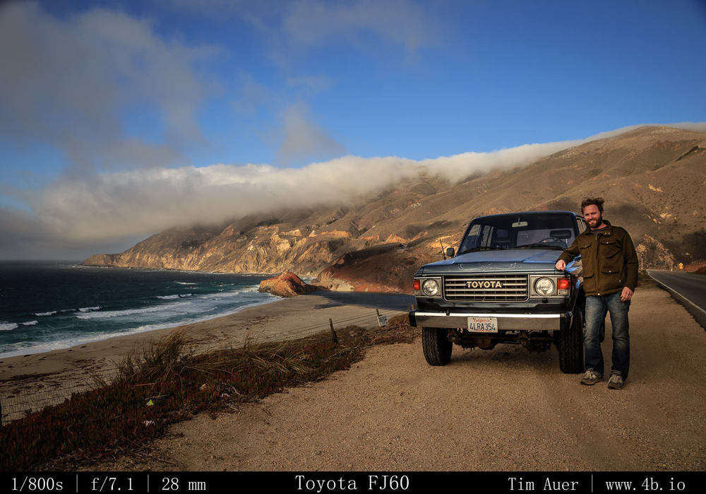
I am happy to announce to acquisition of the new component to be added to my photography toolkit, its not a 1DX body…it is something less expensive but, arguably, more practical: a 1987 Toyota FJ60 Land Cruiser. 

I picked it up late Friday night (12/20) in San Francisco, and so far on my second full day owning it, I am loving it.  It is a not a gentle truck to operate.  It is a workhorse, sounding and riding more like a tractor than any closed vehicle that I have ever driven.
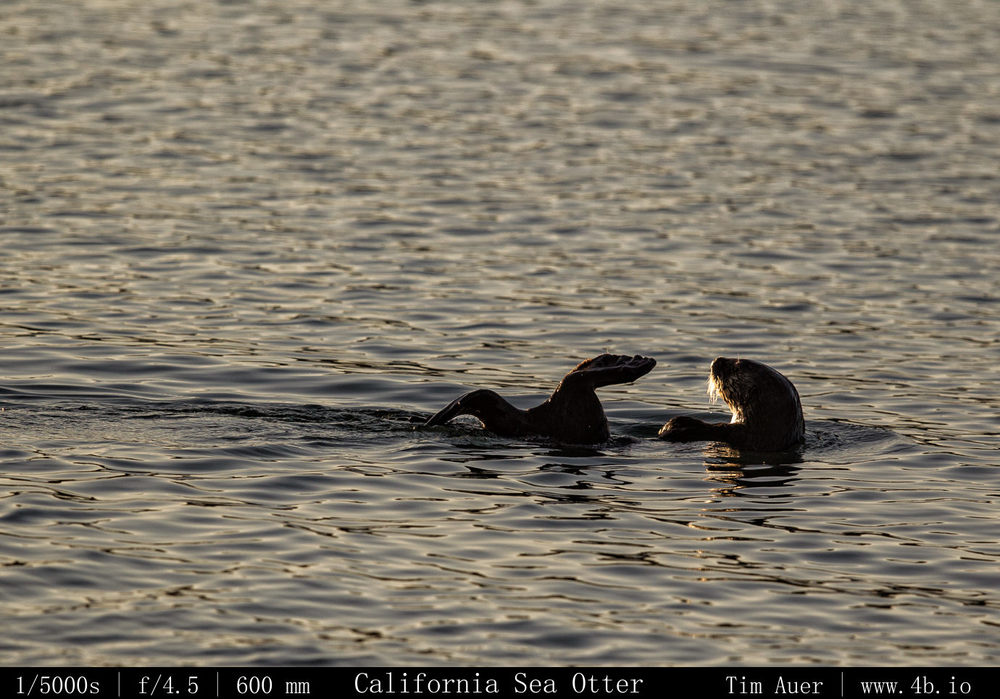
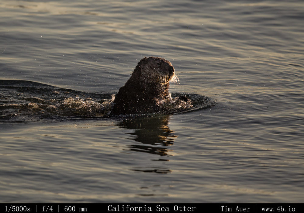
On Saturday, for its inaugural drive (it only has a 180,000 miles on it), Chad and I took it to get a quick bath and drove down to Big Sur to see how it handled along the cliff edges of the Pacific Coast Highway..and to look for sea otters.  It performed admirably, even better than I expected. I was most concerned about the gas mileage, but it traveled over 285 miles using only 3/4 of its 20 gallon tank. Not bad such an old behemoth to get 15-17 MPG.

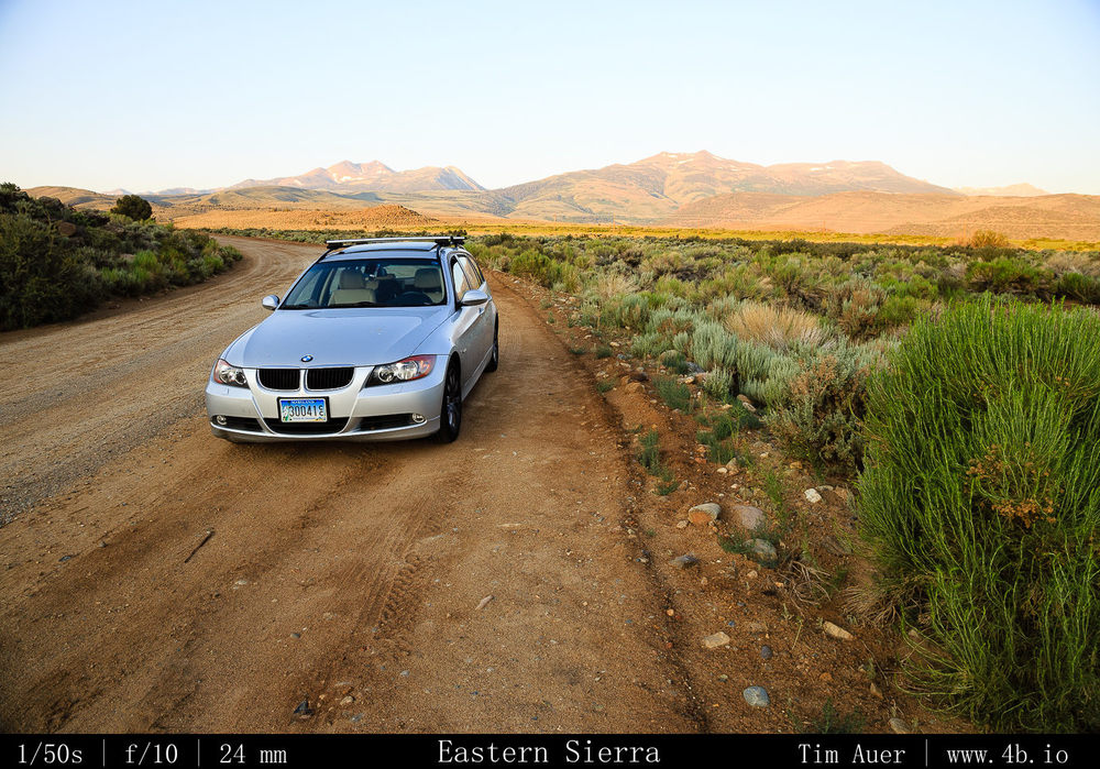
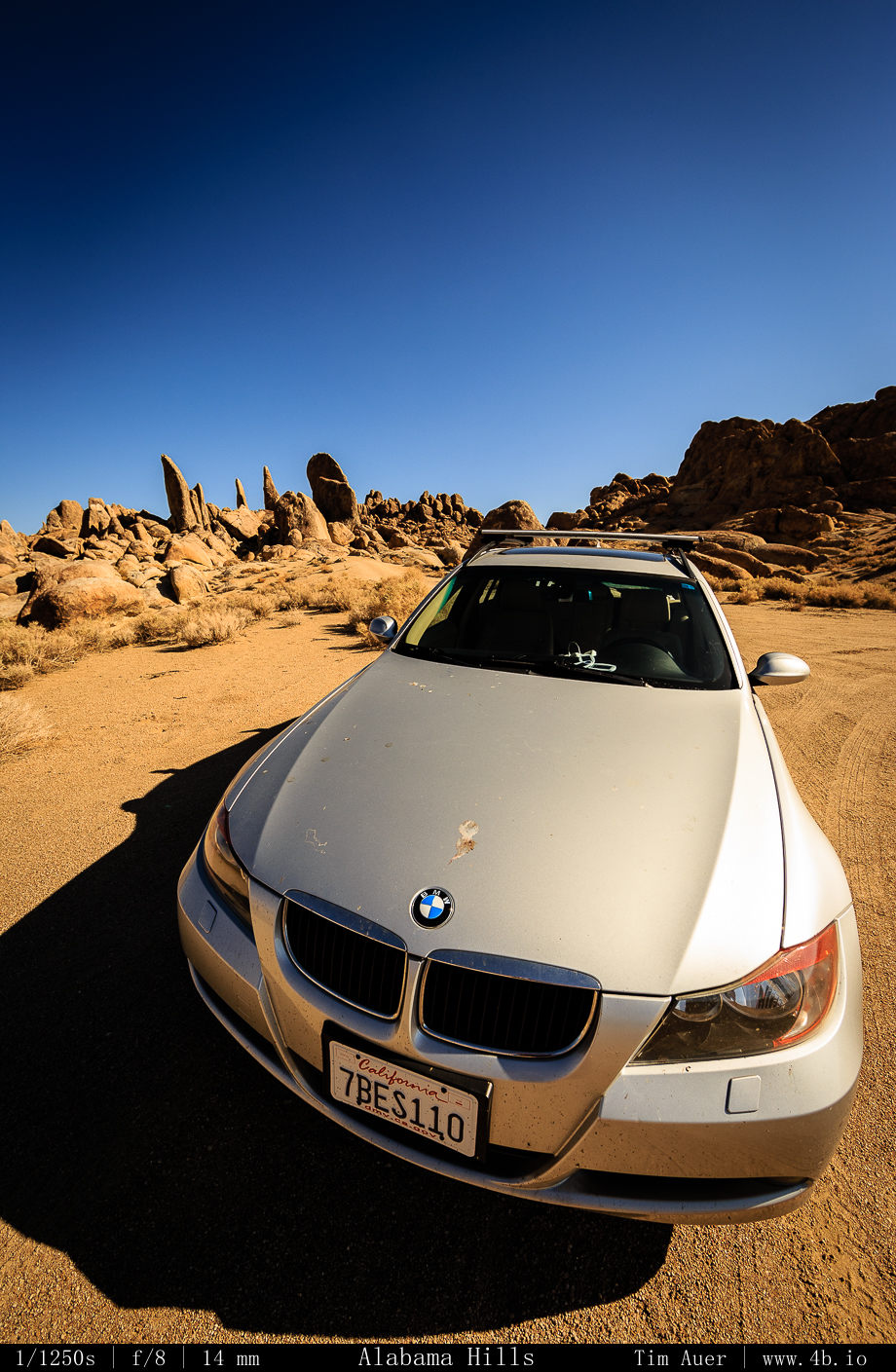
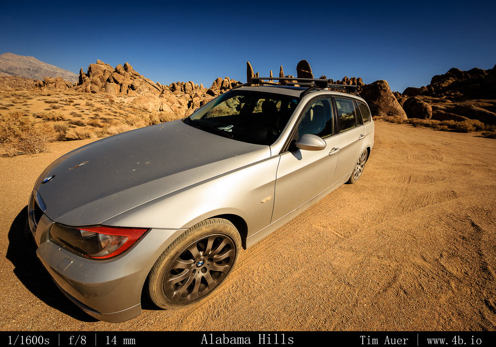
I am not getting rid of the wagon, the FJ60 will serve as a second, beater vehicle.  To be used for the trips I am destine to cover very rough terrain, or for when friends or family visit and need a car.  But the core motivation for buying this truck is the off-road capability. It will come in handy for reaching all the remote locations that gave my wagon difficulty, or wound up being impossible for it.  But its not for a lack of trying, I made the decision to get this after taking the wagon off-road many times. And the 3er X-drive wagon was no slouch, and despite its 6 inch ground clearance, I (foolishly) went off road many times with it, and took many places that I probably shouldn’t have.  I would often find myself in stressful situations far from any road, moving at an excruciatingly cautious speed. I had visions of a broken axle, cracked wheels, or gashed in the fuel tank from a rock. In  Any single one of these repair bills on the BMW would greatly exceed the cost of this FJ60, so I consider the investment prudent.  In fact, I have already had to replace all my wheels multiple times due to bent rims, not a fun allocation of funds.

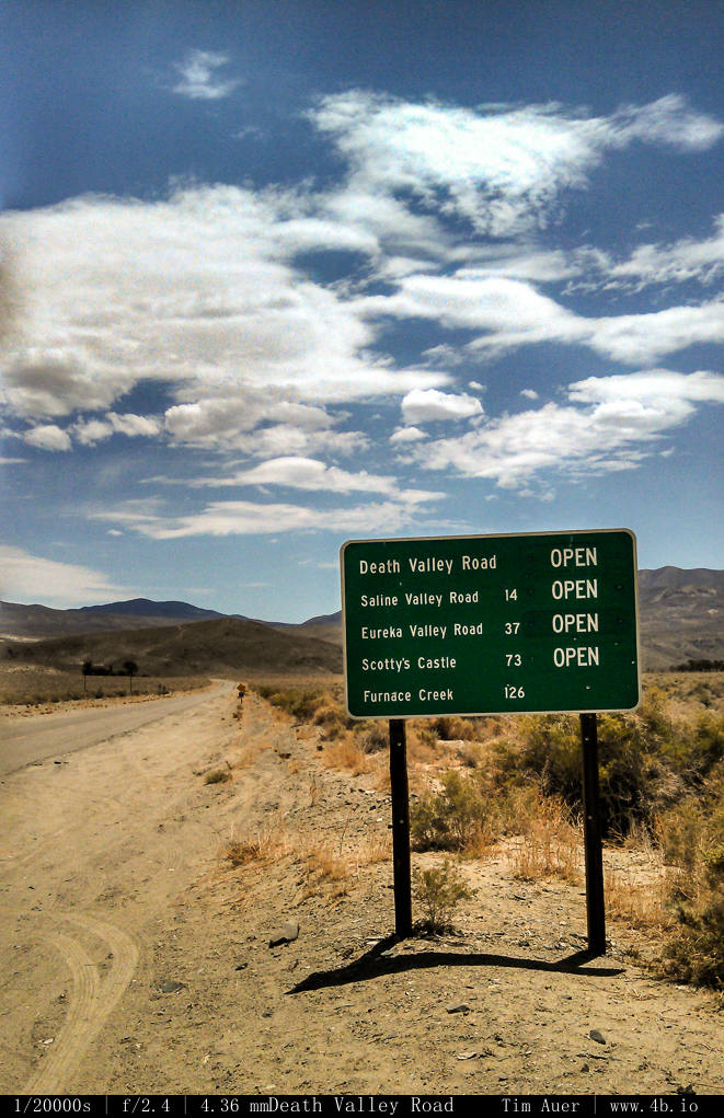
For now the next steps are to give a tune up and plan for a weekend trip to Tahoe…or Klamath Basin…or Death Valley and its several hundred miles of unmaintained 4×4 roads located there…and that spurned me last time….

http://www.nps.gov/deva/planyourvisit/backcountryroads.htm
http://www.nps.gov/deva/planyourvisit/upload/Backcountry%20Roads.pdf

80 miles of very rough 4x4 road in a sport suspension 3 series...no chance. but a FJ60 with a 5 inch lift, now we are talking!!
80 miles of very rough 4×4 road in a sport suspension 3 series…no chance. but a FJ60 with a 5 inch lift, now we are talking!!

Abuse of the 3er, the new FJ60, Jake pissed off, and some other critters..

Pigeon Point Lighthouse

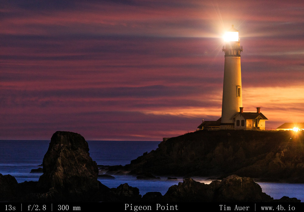
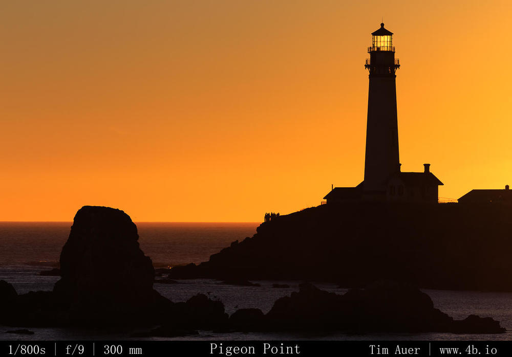
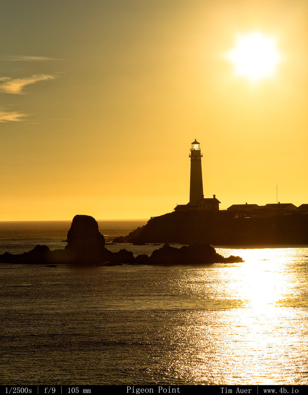
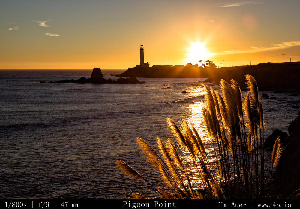
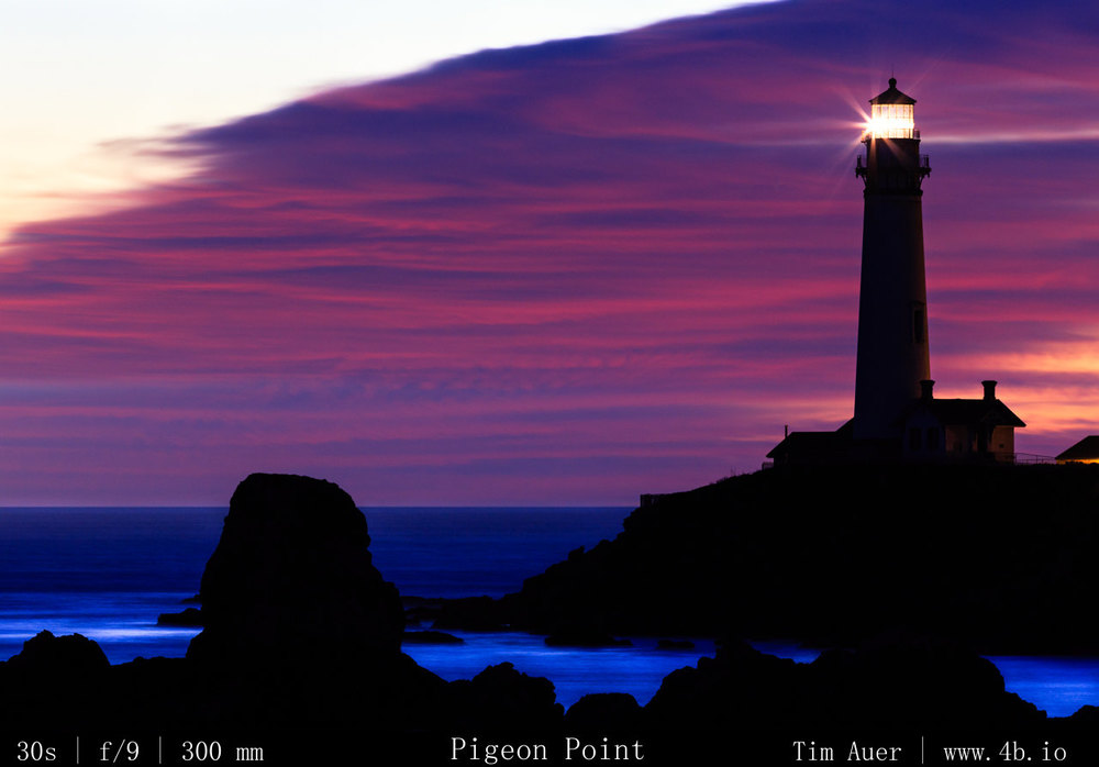
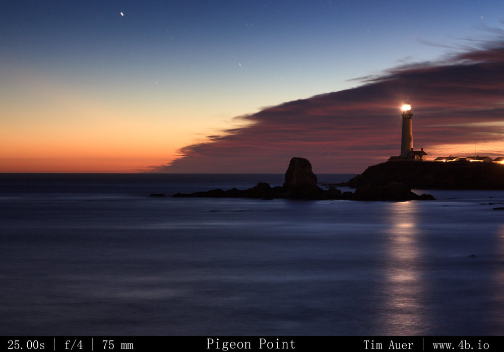
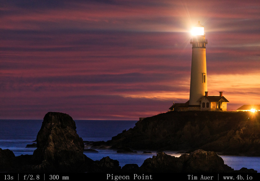
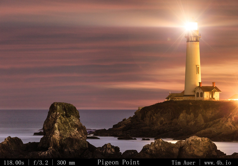
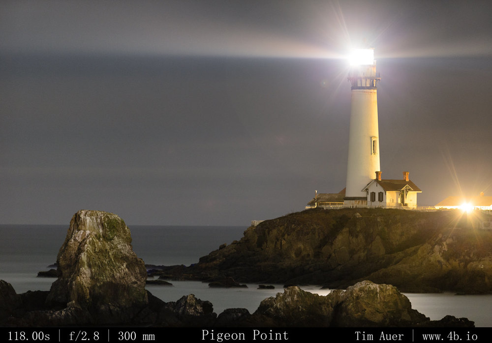
Taking a break from writing and processing images for the final Katmai blog entry…I went exploring the Pacific Coast, and wound up taking sunset images of Pigeon Point Lighthouse, located between Santa Cruz and Half Moon Bay.

Clouds rolling in, holding the sun's color
Clouds rolling in, holding the sun’s color

Its a quick 65 minute drive from Mountain View.  Following a winding Rt. 84 over the Santa Cruz mountains [see map below], driving through redwood forests, past an Alice’s Restaurant in Woodside and down to the ocean.  Arriving at the Lighthouse about two hours before sunset, using the time to hike on the trails scouting the locations.

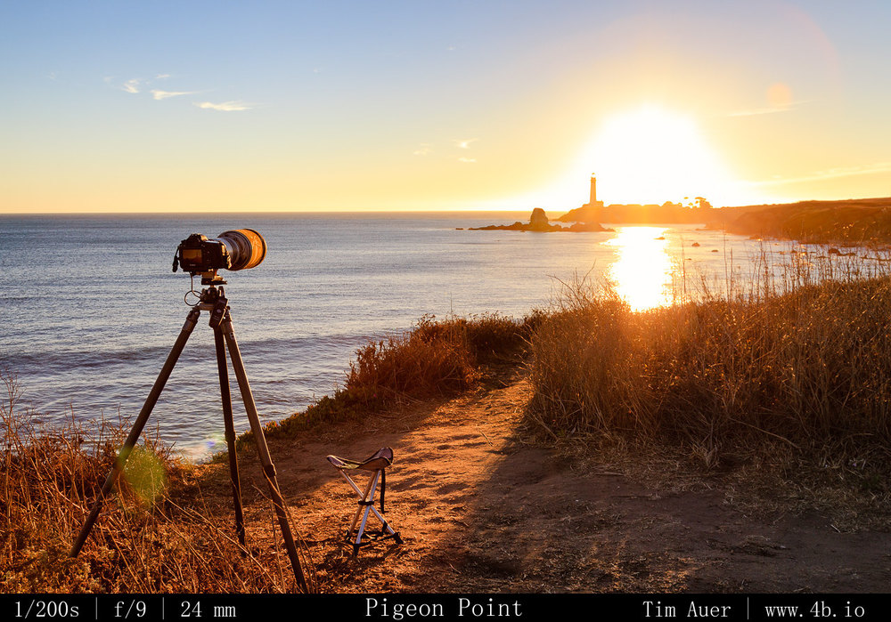
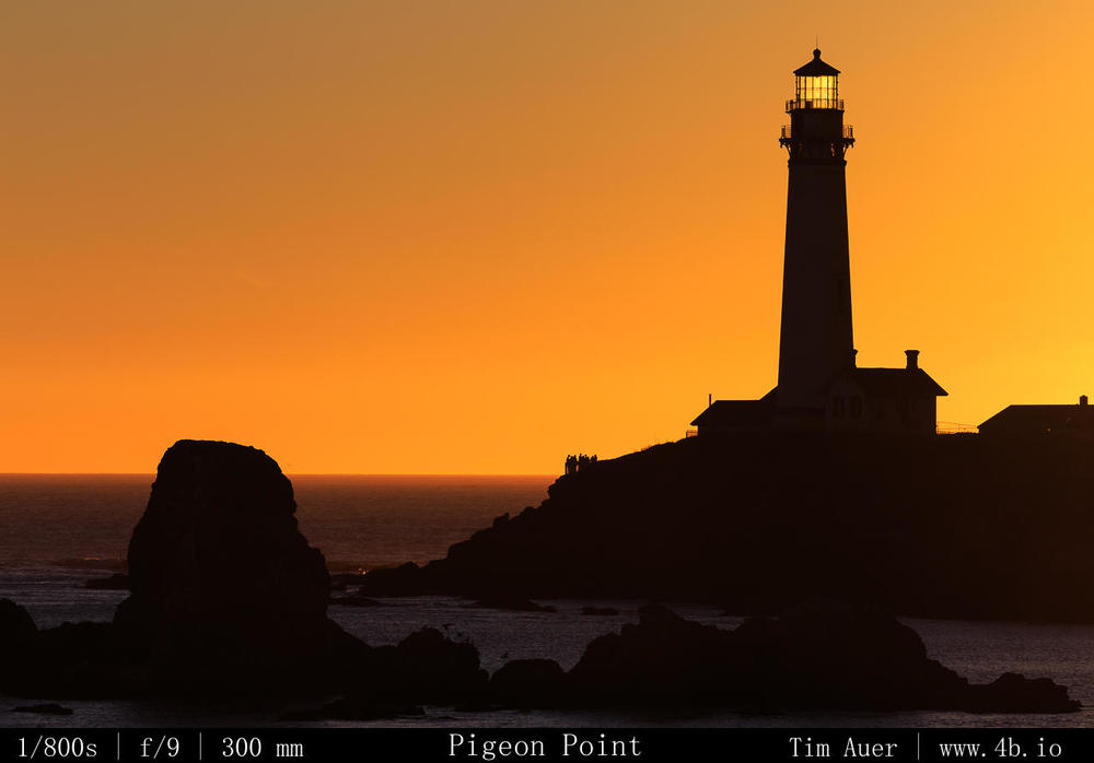
For the lighthouse shoot, I used two bodies and 3 different lenses. My primary goal was to capture the lighthouse and ocean with the site’s signature rock formations in the foreground.  And I wanted the rock formation compressed with the lighthouse.  The compression meant use of telephoto lens, as opposed to a wide angle, and I wanted to use a 300mm F/2.8.  But would there be a suitable location available to fit everything in frame using such a beefy lens?  It was a tight squeeze, but fortunately there was a perfect spot for the image I had in mind.   After settling on a couple spots, using the 300mm on the full frame 6D, I set up one of my tripods on a bluff south of the lighthouse, and pointed the barrel due west towards the lighthouse. 

The second set-up consisted of a 1D Mk.IV and the 24-105mm. The 1D’s APS-H sensor provides 1.3 crop factor, so I knew I had a bit of extra reach that would complement the angle of view on the 6D+300mm set-up.  This combination would be my roamer for the night, going where I go, while I would keep the 300mm+6D fixed as much as possible.  

As the quality of light began to increase, I settled in for the next 4 hours, enjoying the scenery, listening to the waves splash at the foot of the cliff below me, and making sure to click the cameras..

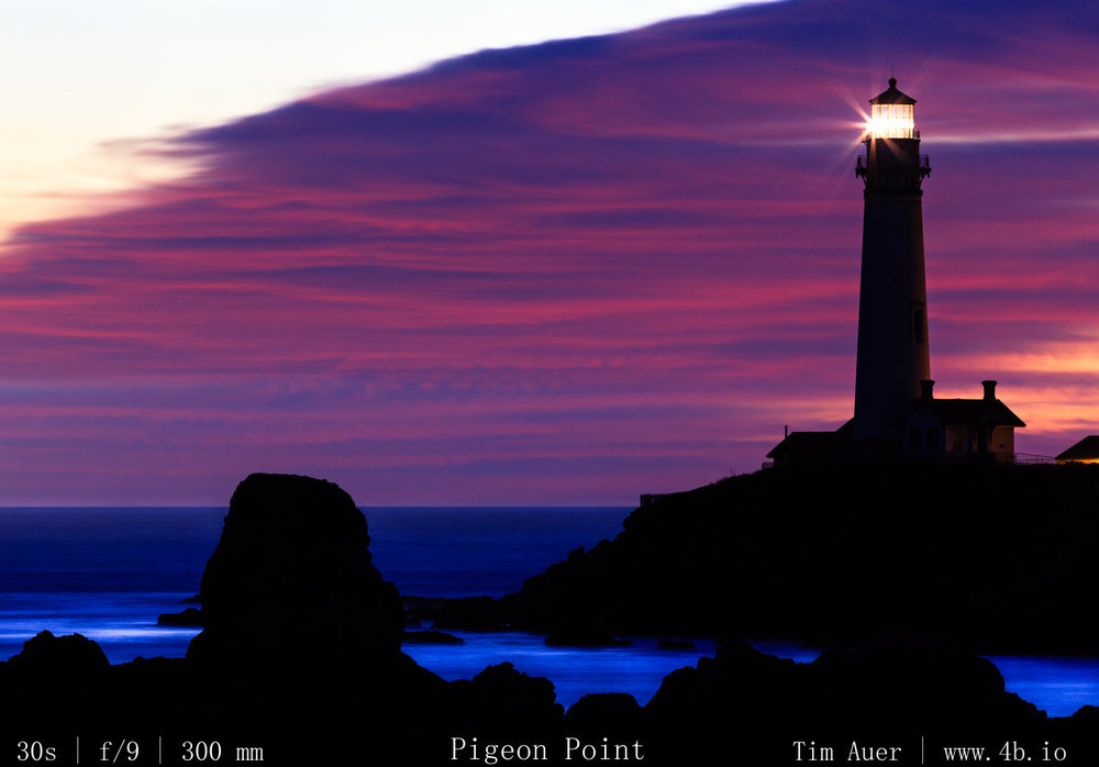
Clouds filling the frame of the 300mm

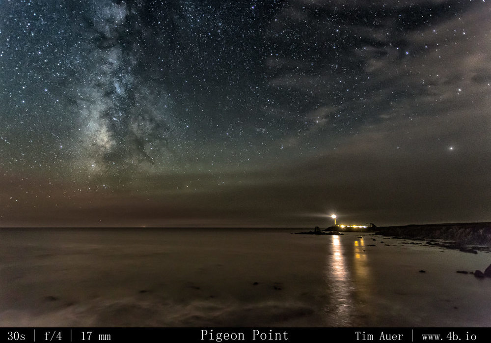
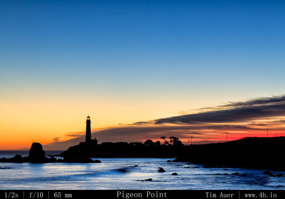
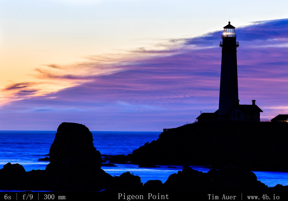
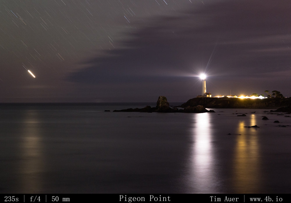
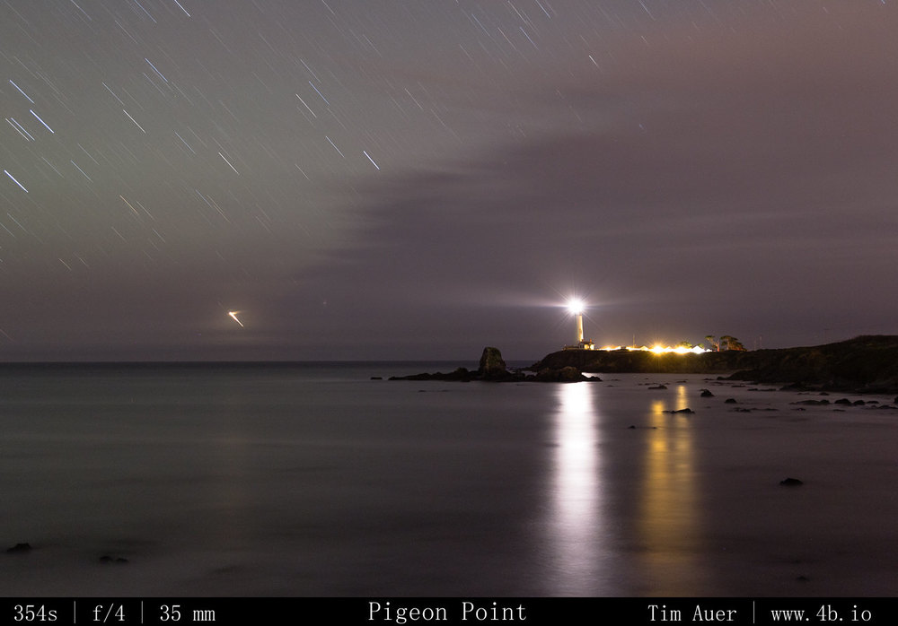
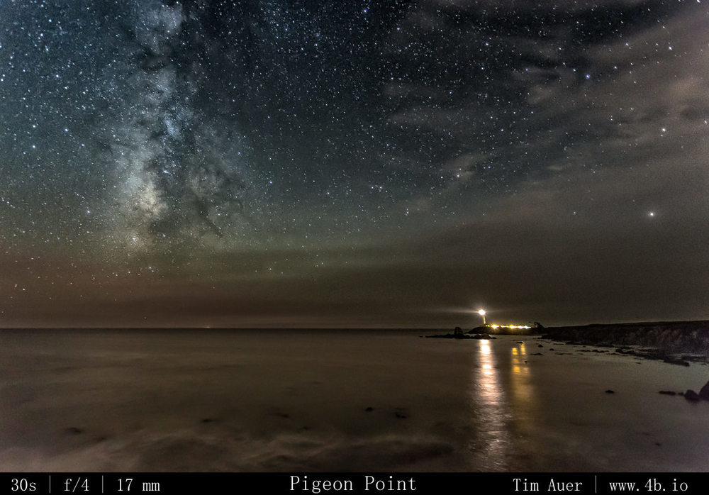
Once the sun dropped below the horizon, the clouds began to rush in from the north.  This created a beautiful civil twilight background of pink and blue clouds that gradually enveloped the entire scene, but to the south and behind me the sky was clear.  Once the last rays of sun faded from the upper atmosphere, signalling the end of astronomical twilight, the Milky Way revealed itself due SW and directly over the ocean. Pigeon Point sticks out into the Pacific and curves south, this is how I could look across land to setting sun in the west, and south to the Pacific.  

Wider view, clouds encroaching

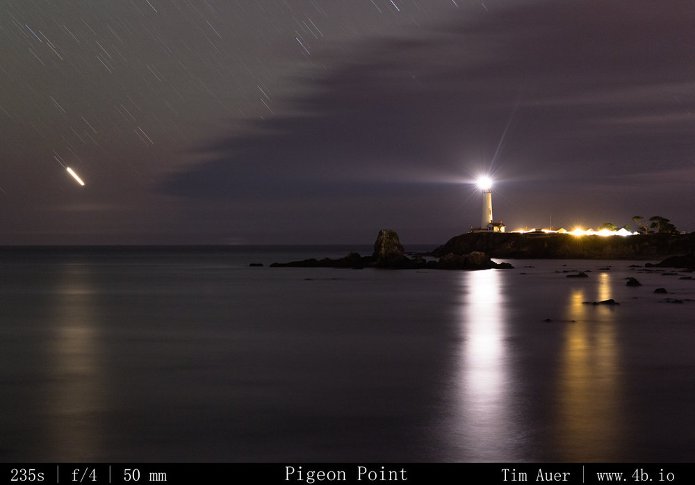
At this point in the night, the 3rd brightest object in my field of view, after the lighthouse beacon, and the hostel’s exterior lights, was the planet Venus, setting to the SSW and reflecting in the still ocean.  Using the 24-105, I recomposed with the ocean, sky and lighthouse sharing equal parts.

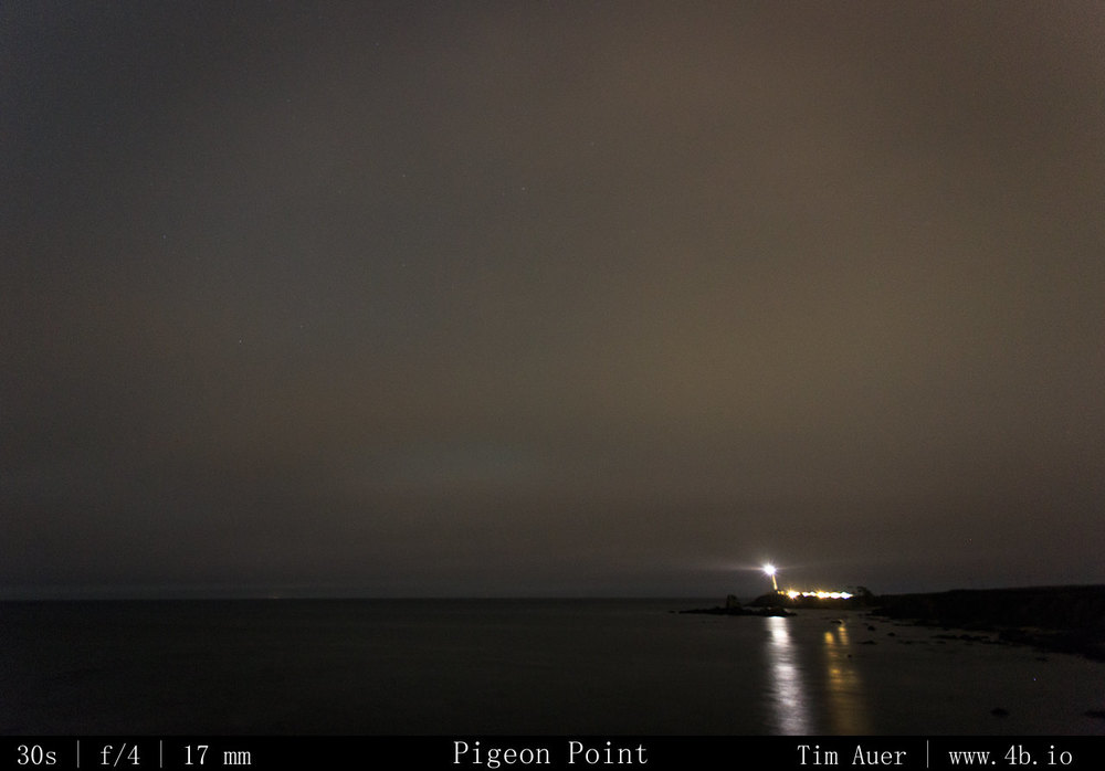
On the 6D, I removed the 300mm from the 6D and put on the 17-40mm wide angle for a more astrophotography look.  I was able to get a couple Milky Way shots, but within 5 minutes of switching the lenses, the spreading clouds quickly obscured the sky.  And I decided to call it a night.

Gallery

Location


View Larger Map

Gear Used

Canon 6D
Canon 1D Mark IV

Canon 300mm F/2.8L IS
Canon 24-105mm F/4L
Canon 17-40mm F/4L

Gitzo Systematic
Gitzo Traveller
RRS BH25
RRS BH40

2013 Perseid Meteor Shower

August 9 – 11, 2013

*Gallery at bottom*

Another August, another Perseid Meteor Shower….the 2013 edition.  Not including the weeks of research and my previous scouting trips, I began my search for the Perseids late Friday evening for what was an astonishingly grueling three night photo epic to the dark skies of the Eastern Sierras…
Golden red morning light Golden red morning light

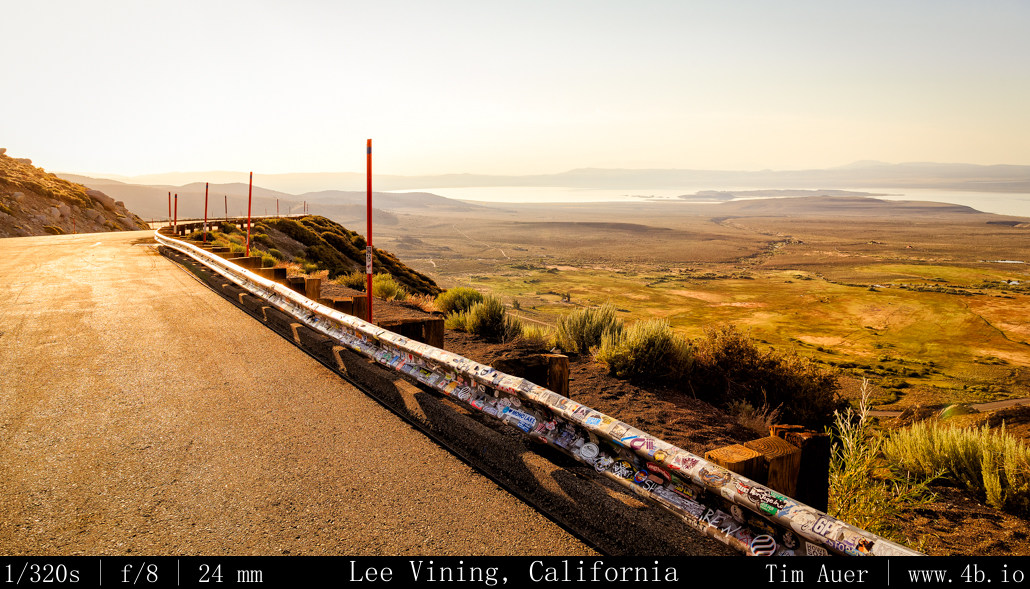
Leaving my house in Mountain View at 21:00 on Friday evening Aug 9, I began my drive East.  As Friday blended into Saturday, I reached the Big Oak Flat entrance of Yosemite National Park. According to the weather board at the entrance gate, the daytime temperature for the high country of Tuolumne Meadows that day was 90F.  I continued on Rt. 120 through the park towards Tioga Pass.  At 01:00, made a brief stop at Olmsted Point, where there was access to a vast and clear sky.  I snapped a few photos in the direction of Tenaya Lake, and caught glimpses of my first Perseids of the season.  High up in the Sierras, the temperature had plummeted from its daytime high of 90F, and hoovered at the 28F mark (according to my car thermometer).  After making my way over Tioga Pass and through the East Entrance of YNP, I began my descent towards Mono Lake.  The temperature warmed gradually as I lost elevation. Arriving at the South Tufa Area at 02:30 Saturday morning.

There was only one other car in the parking lot.  The car belonged to another photographer who happened to be wrapping up his session for night.  While I thought him nuts to be leaving as the meteor activity began to peak,  I had the entire Lake to myself. I was feeling relaxed and excited.  Bats whizzed around my head, owls hooted, coyotes howled. I was even able to see an Owl silently flying 10-20 ft above my head.  I was startled by its “shadow” and pointed my Surefire light at the shape, and watched it as it passed by.  I’m sure the Surefire did wonders on the owl’s night vision too.  Using only a casual, single camera set-up, I shot until approximately 05:30 before calling it a night.  As I was getting myself situated for sleep in back of my wagon,  Three cars arrived carrying a group of photographers looking to shoot the sunrise. They were in luck because the sunrise that morning turned out to be spectacular.  I yearned to capture it, but refrained from doing so.  This trip was about the meteors, so I soaked it in without the burden of camera apparati.
Minarets Minarets

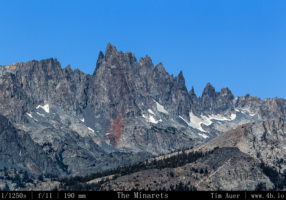
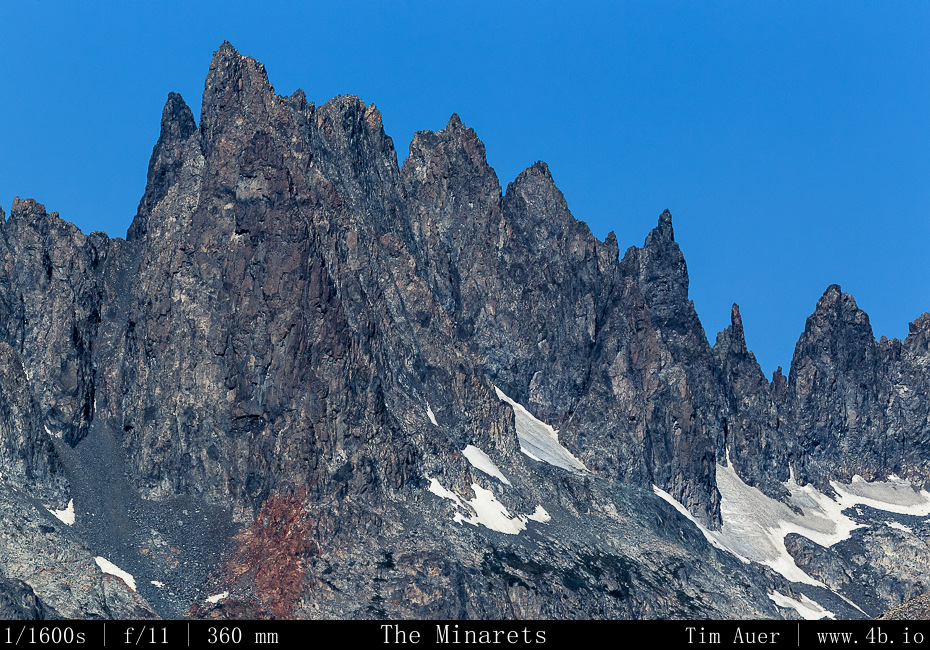
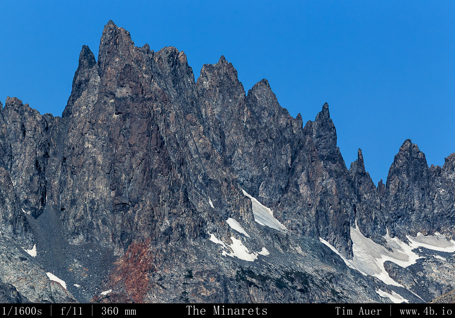
By 07:30 I was up and eating breakfast at Nicely’s in Lee Vining.  I continued south down Rt. 395 towards Bishop, stopping at Mammoth Lakes and the Minarets.  Once in Bishop, I stopped in Galen Rowell’s Mountain Light studio and perused his work, seeking inspiration from a master.  While there I bought two books, one a collection of technical essays he’d written and the other his best of Sierra Nevada images.  I arrived in Lone Pine by early afternoon, bought some food, water, and beer, and set forth into the Alabama Hills….

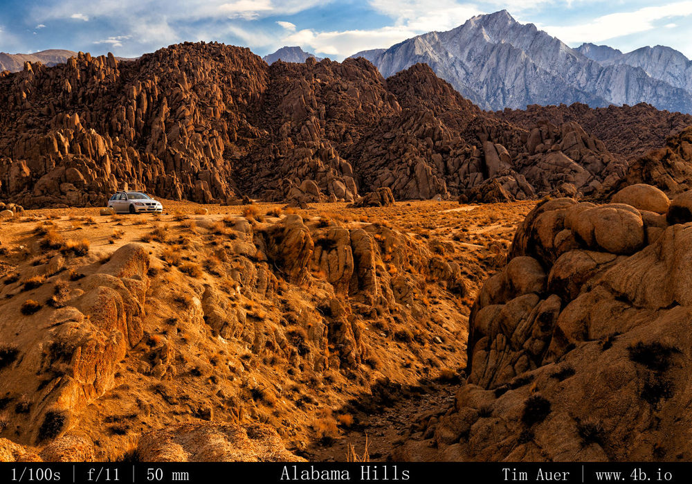
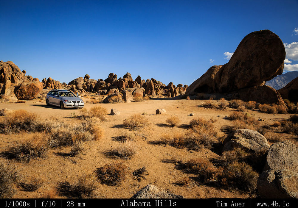
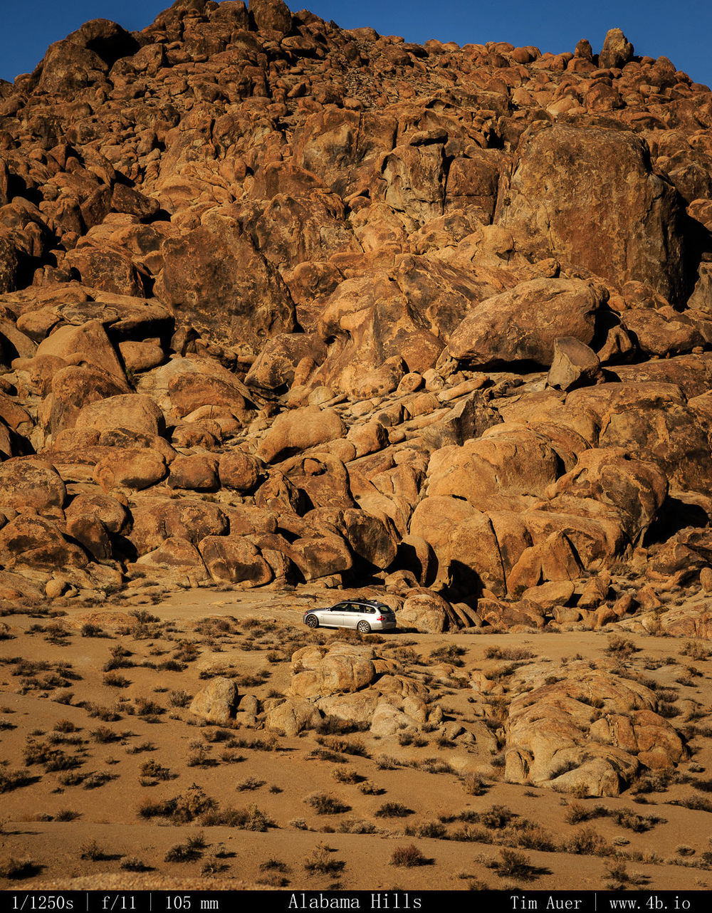
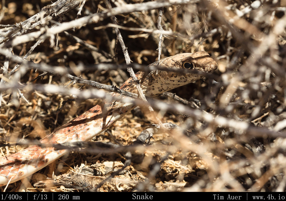
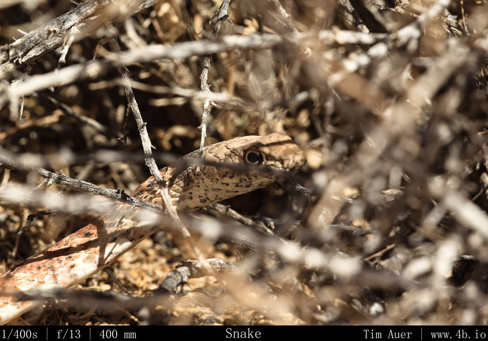
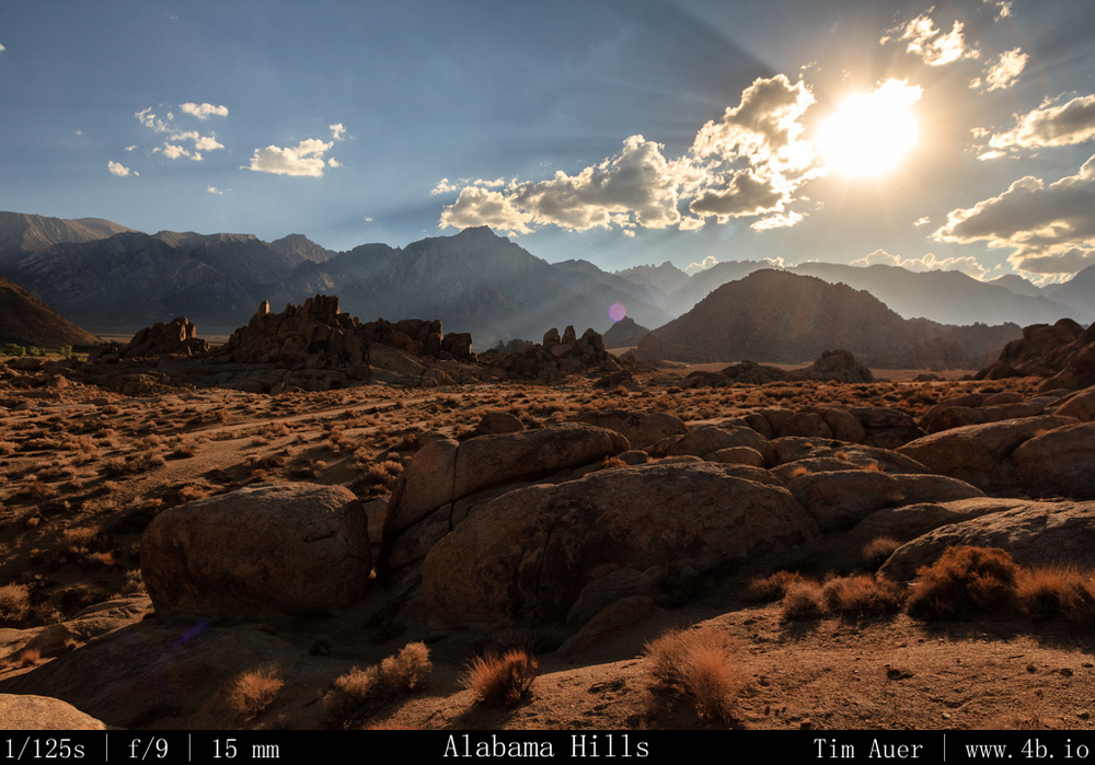
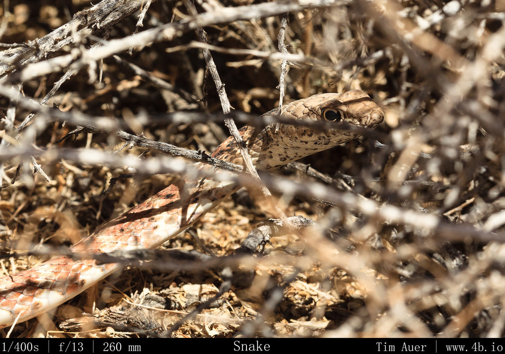
I explored the Alabama Hills by driving along Movie Road and some its derivative “roads”, doing short over-land hikes to the various arches and interesting granite formations.  Treating my extremely low clearance vehicle like it was a Jeep, I was fortunate that I didn’t become stuck or break an axle.  While I was exploring new areas of the Alabama Hills, I was also scouting suitable locations to set up camp and shoot the Perseids.  While hiking I came across a 5 foot long Gopher Snake, which, upon noticing me, curled into a mock Rattlesnake position, imitating its venomous cousin by vibrating its rattle-less tail in a fascinating sign of defense.  Naturally, I got as close as possible and took photos of it.
Imitation Rattler Imitation Rattler Alabama Hills + Sierras Alabama Hills + Sierras
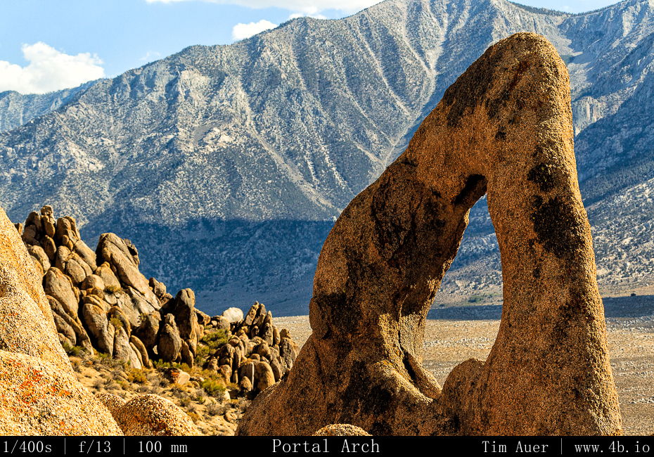
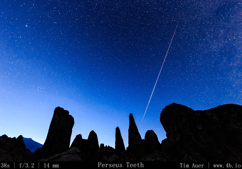
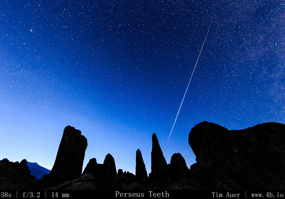
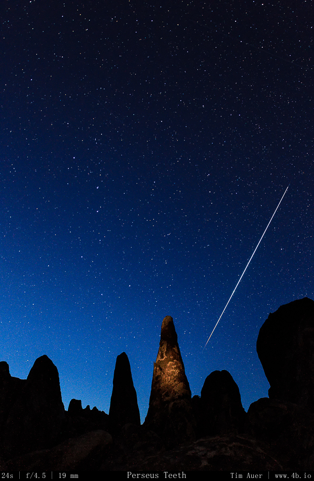
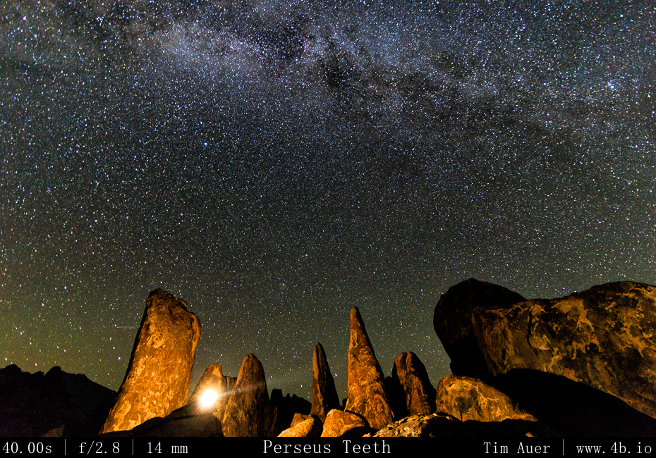
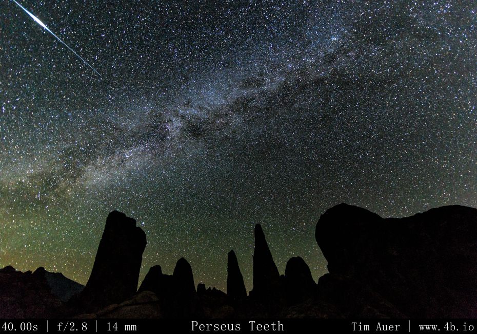
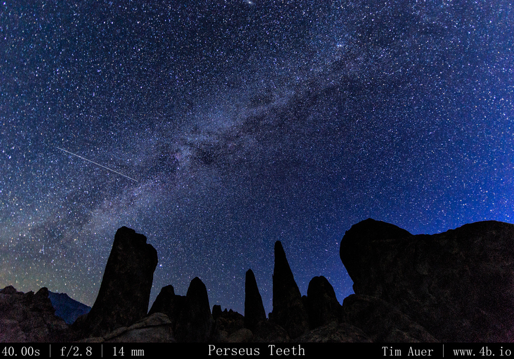
After searching long and hard for 6 hours, I finally settled on a location that satisfied my requirements.  I wanted maximal Northeastern sky exposure and a rock formation that reached into the sky to create an interesting foreground. By the time I found a qualifying location, it was two hours away from sunset.  Using the remaining daylight, I set up camp and composed my shots for the night. Tonight would be a 3-rig set-up. During this time before sunset, the temperature was warm, mid-80s, and very windy. Which made it difficult to set-up my tent and change lenses without dust.  Fortunately the wind died down as the sun dipped behind the Sierras to the west.  I climbed high up on several boulders and literally “bouldered” to get in position.  From this vantage point I positioned my 6D+14mm F/2.8 (rental) and 1D Mk.iv+17-40mm F/2.8 angled up towards the Northern sky.  These cameras, with granite spires in the foreground would use high ISO and shorter shutter speeds to permit the sharp capture of the celestial bodies.  The FF 6D + 14mm prime would allow for longer exposures, while the 1.3x APS-H 1D Mark IV + 17mm zoom would have to be shorter.  On the 6D I used a 38s exposure time and on the 1D I used 23s.

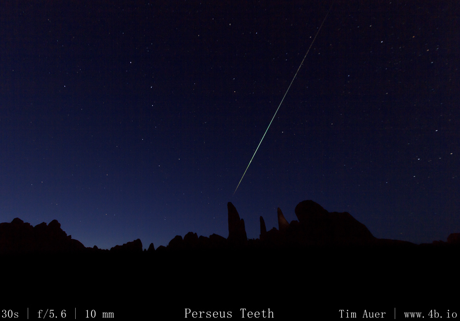
At a lower spot and on a smaller boulder, closer to my tent, I positioned my 60D+10-22mm F/3.5 with a minimal horizon and a vast north eastern sky exposure in frame.  This camera covered the path that Perseus would race across the sky that night.  The 1.6 crop body APS-C 60D + 10mm zoom is wide enough to allow longer exposures, but I used this one to do 10 minute exposures for star trails.  My hope was by leaving the shutter open 10 minutes, there  would less down time and capture more meteors, at the expense of not being sensitive enough to catch the fainter ones.
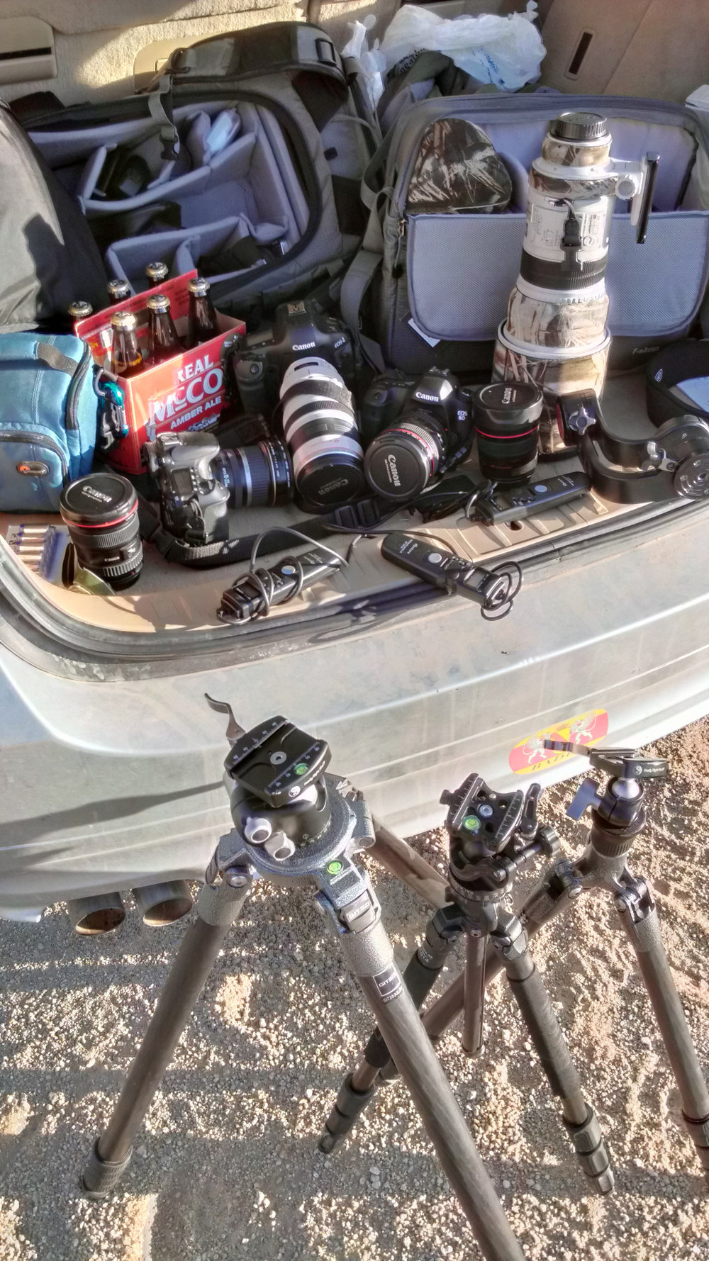
How to prepare for a photo shoot How to prepare for a photo shoot

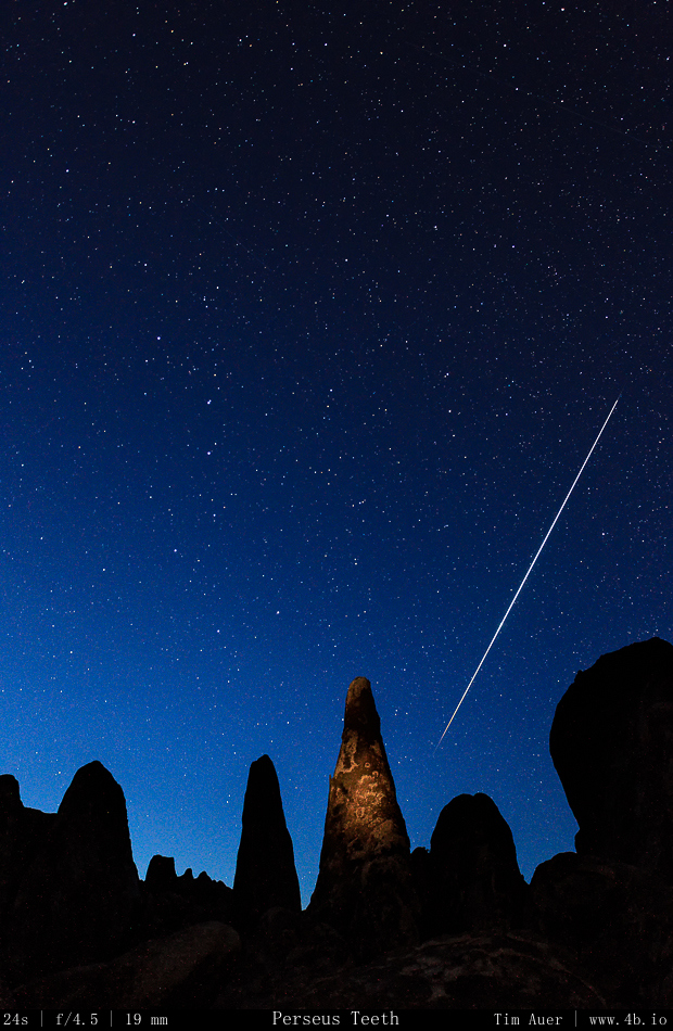
I configured each cameras’ intervalometer, and hit go, hoping I’d be able to sit back and enjoy the show with a beer. As I should of expected, that was not the case and I barely finished the beer I drank with my Boudin bread and beef jerky dinner.  I stayed alert and was constantly shifting the entire night.  Spending the next 10 hours tending each camera and finding different positions to light paint the foreground granite. Wary of rattlesnakes and falling off (or in-between) house sized boulders, I put on a pair of jeans and resolved to never take a step without putting a light there first, and to always follow the same route used to climb up, on my way down.  There would be no trail blazing in the darkness.  By 05:00, I was exhausted, but satisfied with the meteor activity, I went to my tent and took a nap until the sun rose above the Inyo Mountains and shone into my face at about 07:00. 

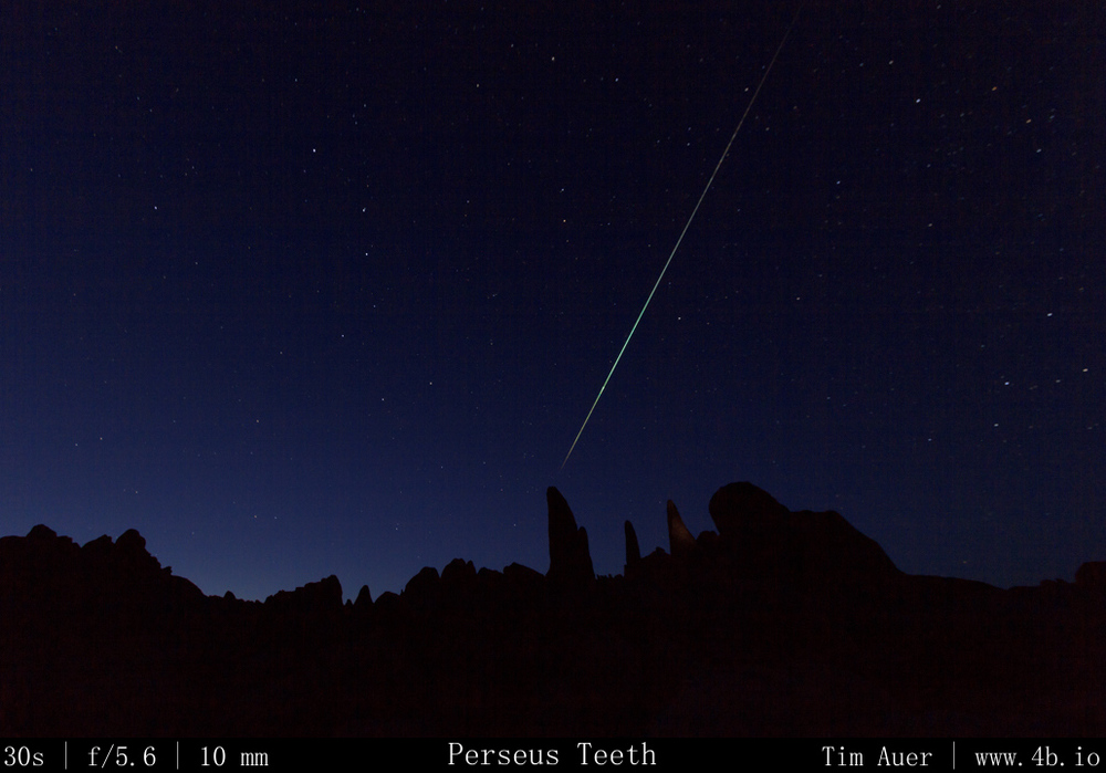
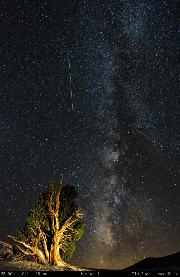
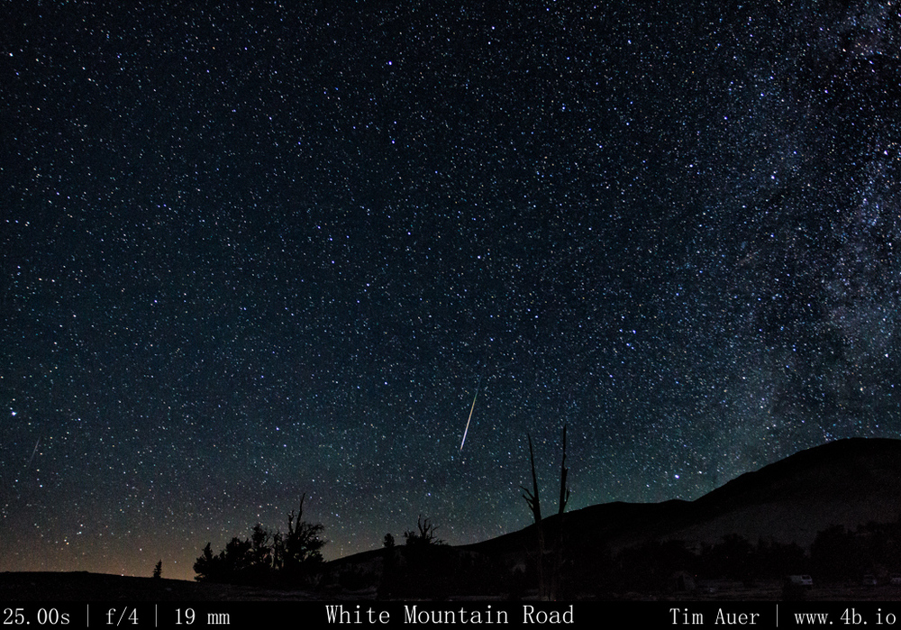
The highlight of the night: capturing the single brightest meteor.  A massive green fireball that seemed to burn itself through separate stages, like a Saturn V rocket, as it skipped across the atmosphere.  Not only was I able to capture it with one camera – I had the good fortune to record this event on all 3 cameras. Each one showing a slightly different perspective of the same meteor.

(For less confusing examination of the multiple perspectives, see the gallery below)
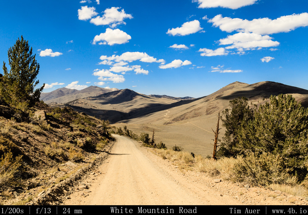
The long and winding road.. The long and winding road..

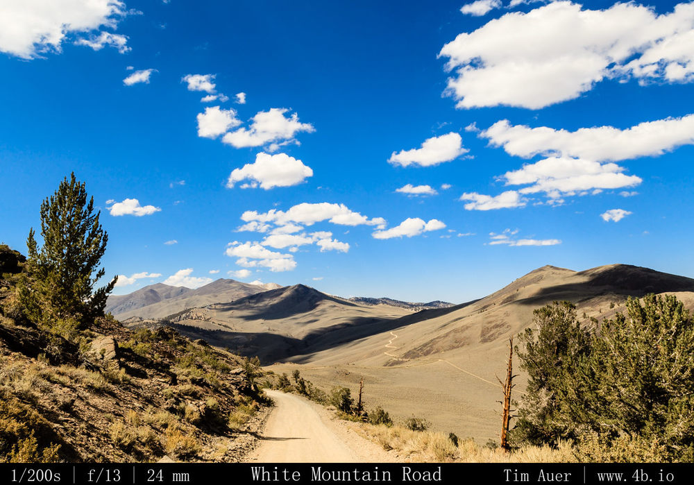
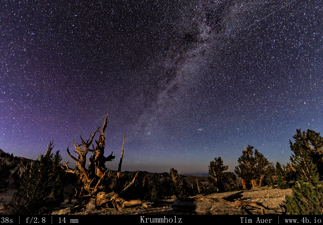
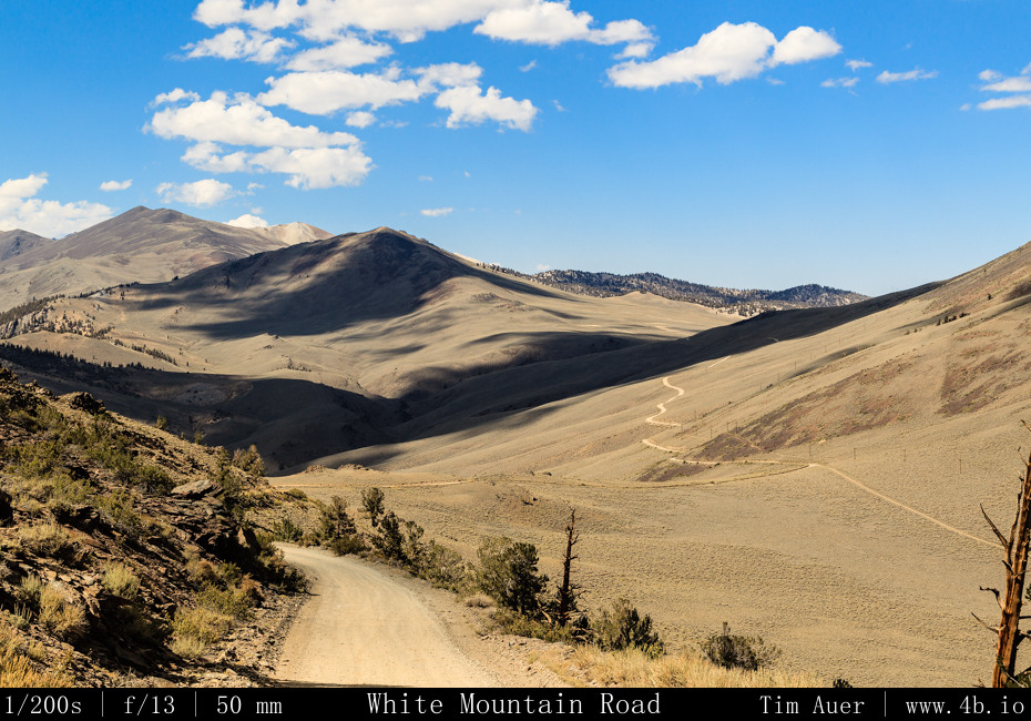
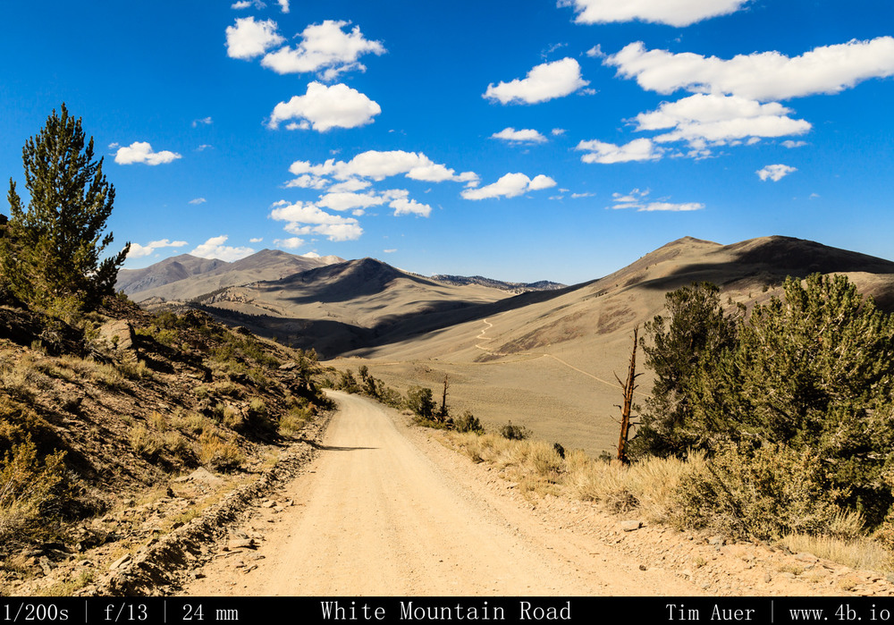
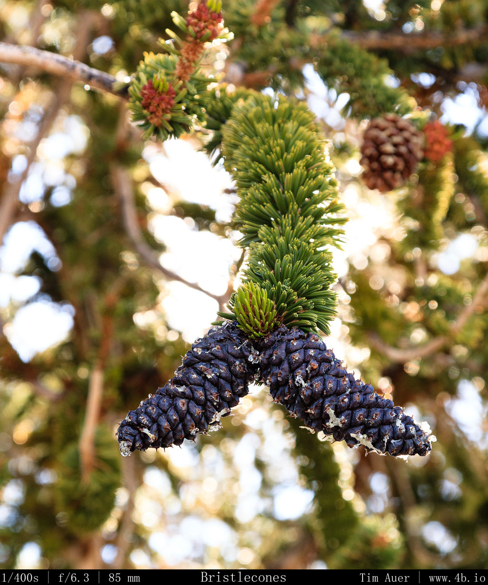
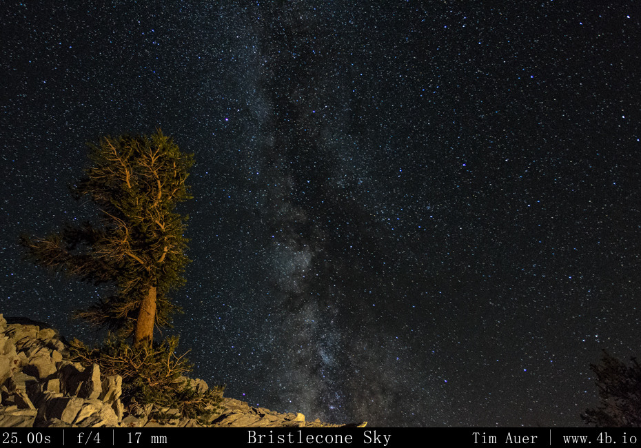
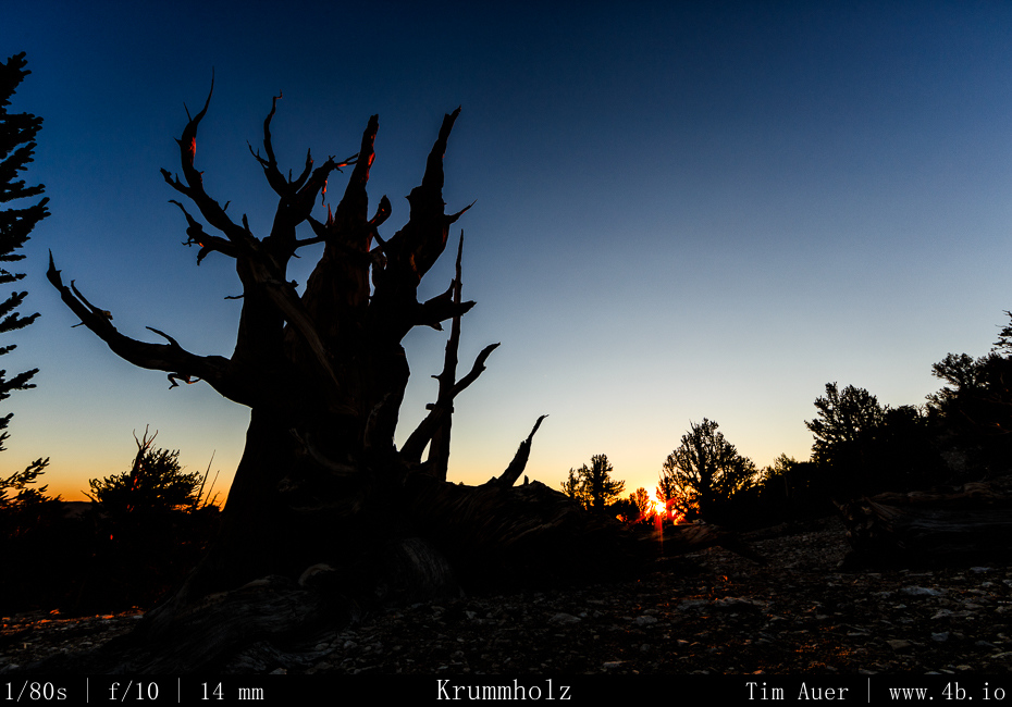
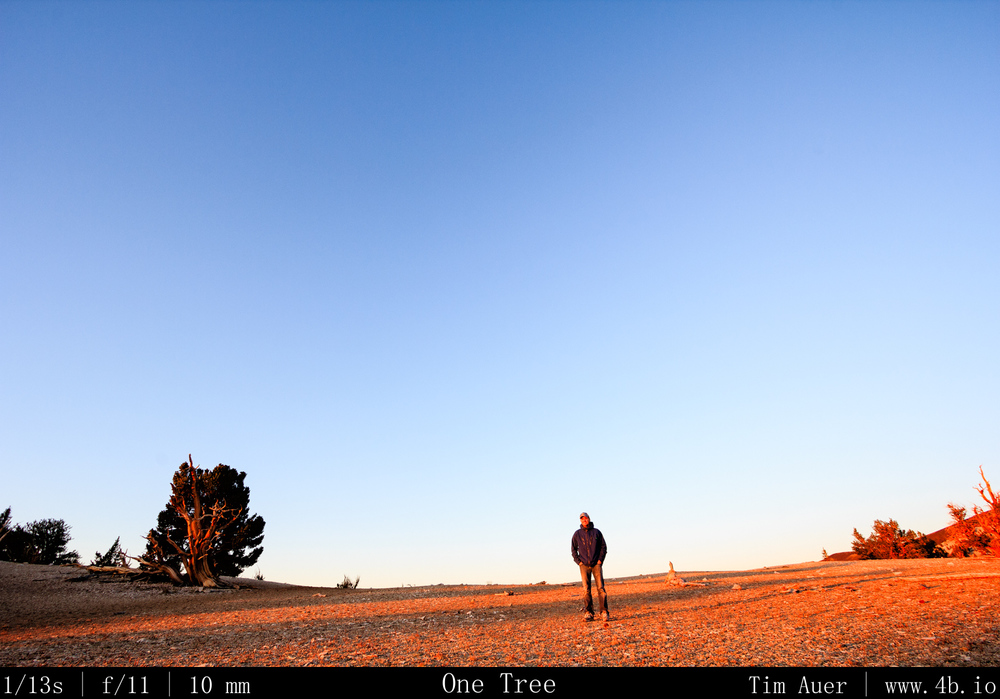
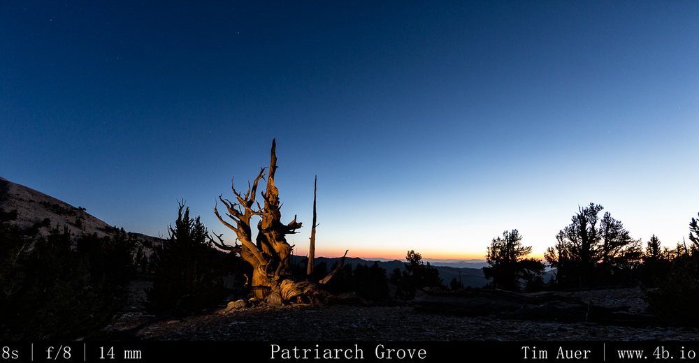
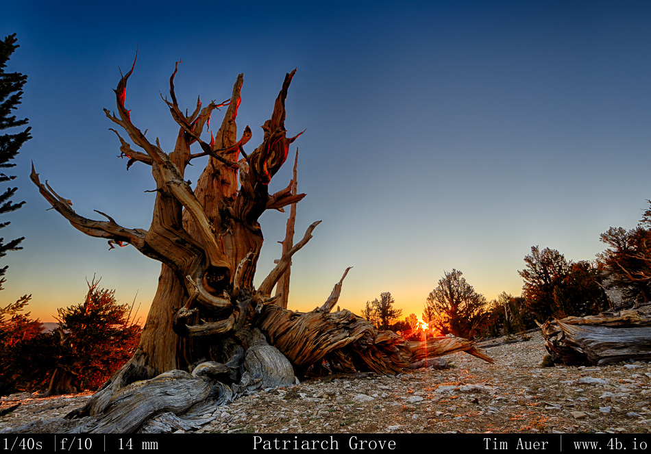
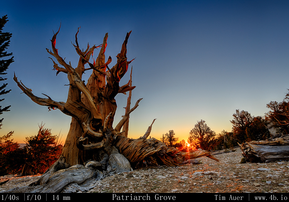
After breaking camp, I drove back to Lone Pine and had breakfast at the Alabama Hills Cafe. Moving at a relaxed pace this Sunday morning, I stalled in the cafe to recharge my batteries for as long as I could.  After spending some more time exploring Lone Pine and its surroundings, I gradually began to make my way up 395 to Big Pine, California (elevation 3,900 ft). I topped off my gas tank, turned right at the edge of town on to California Rt.168 (10 miles), then a left onto the very steep White Mountain Road.  After 13 miles of steady ascent, I was in the windswept lands of the ancient Bristlecone forests.  To be exact, I was at the more accessible Schullman Grove (elevation 10,100 ft). This is where the paved road ended, and the halfway point to my destination. Ascending even higher for 12 additional miles on very rough dirt road (it took 90 minutes), I finally reach my destination: The Patriarch Grove.  Nestled high in the White Mountains at an elevation well over 11,000 feet, the harsh landscape here looks more suited to be the moon than any place on green, hospitable earth.  Yet, the dusty mountain sides are teeming with life, in the form of the magnificent Bristlecone pine. Gnarled, beaten down, and broken, these trees thrive here in these conditions. Some have held on to life for more than 4000 years.  With so many unworldly features, this is the perfect place to connect the life on Earth to the rest of the nonliving universe.  It was exhilarating to have the privilege to photograph the starlit heavens raining with meteors here.
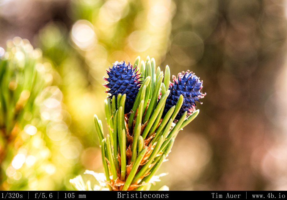
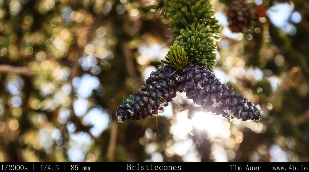
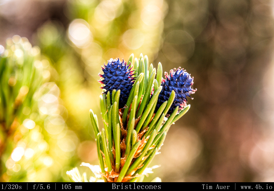
Bristlecones, with their bristles Bristlecones, with their bristles

After parking, I took a short hike through the grove in the warm afternoon sun, scouting my nighttime locations.  As I did so, a few people showed up and began to assemble telescopes and scout their positions.  By sundown, the people in the grove filtered down to those of us staying through the night, about 5 or 6 people in total. After spending the last two nights completely alone and isolated, it was nice to be able to talk with some other people, and hear their experiences.  Like the previous, this night was to be a 3-camera show too.  I decided to take a slightly different approach this evening.  The two ultra wide set-ups would sit stationary for hours, while the other camera would be my “roamer”.

I positioned the 6D+14mm in a northeasterly direction and the 60D+10mm in a westerly direction.  The 60D was positioned west because I particularly liked the composition, and no other reason. Besides, I felt like on the previous night there more hot fireballs in that piece of sky.  So I knew the Perseids would be everywhere.  The 1D+17mm was my roaming unit.  I would find a position for this camera, compose the shot, and let it sit for 15-90 minutes, depending on the conditions. At one point, this camera was on top of a peak over a half mile away from my two other cameras, which were in the same general area and only 200m apart.  For this night, I decided to use slightly shorter shutter speeds, while pushing the ISO with the goal of capturing even the most faint meteoric activity.  There was no time to rest for the next 7 or 8 hours, and when I did take a break to watch the sky, I realized the temperature had dropped well below freezing.  My Nalgene had even begun to freeze!  By 04:30, I was getting quite chilled, I decided to warm up in my car and to take a brief nap, knowing that I would need to wake by 05:30 to reconfigure my cameras and avoid overexposing the frames in the morning twilight.

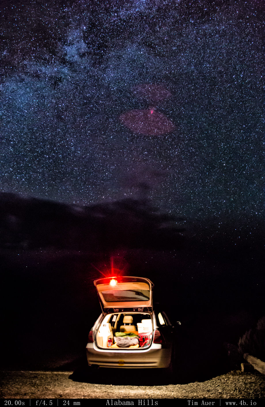
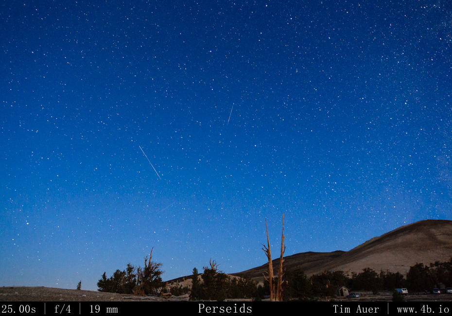
Despite having a 30 degree bag, being fully dressed, and inside my car, I never was exactly comfortably warm.  It must have been colder than I realized, but I shouldn’t be surprised of this considering I was at elevation over 11,000 feet. Bleary eyed and mouth parched, I roused myself at 05:30.  It was still quite cold and dark and conditions like that always demand some additional effort to overcome, but I can proudly say I was up and out in less than a minute! I even have to photographs to prove it. One of my cameras looked the direction of the car.  To the naked eye, it was still very much dark out, but to a camera’s ISO 6400 sensor, it was rapidly beginning to overexpose.  As the sun approached the horizon, I needed to adjust each camera 4 additional times to accommodate the varying conditions.

  1. The first adjustment was to decrease the ISO setting, but maintain the shutter speed. The intervalometers were still in full control.
  2. As twilight gained hold on the sky, the second adjustment was to decrease the shutter speed and aperture.  I did this by changing from “BULB” to “Av”, and resetting the intervalometer to snap a photo every 60s.
  3. The third adjustment was to enable Auto-focus on the lens.  The ambient light was sufficient enough, that I need not depend on my manual focused composition.
  4. The fourth adjustment consisted of enabling the AEB (Auto Exposure Bracketing).  This was done to accommodate the high contast and widening dynamic range of a scene that contains the rising sun.
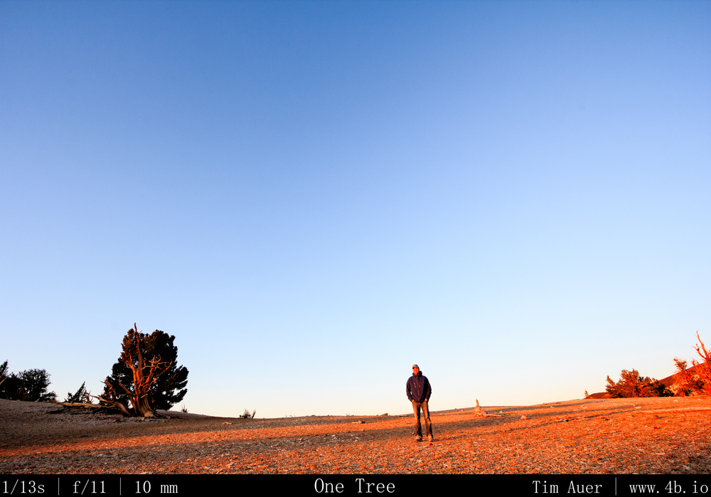
Self Self “portrait”, morning light

The quality of light at sunrise here in the White Mountains was superior.  It was a rich, golden red light that rapidly raced along the mountain side, reflecting off the white dolomite, but it didn’t last long.  As the sun crept higher above the horizon, this golden red light became orange, then yellow, and then a flat white…

Thus signalling the end of my Perseid weekend…and the start of my 8 hour drive back to Silicon Valley for work.

New gear utilized:

  • SureFire G2 Nitrolon flashlight incandescent – Top quality, warm light. The beam of light is very narrow and has incredible throw. Therefore it can easily over expose if the earthly objects are to near the camera.  To prevent this, I used the white plastic top of a water jug as a diffuser. I used this light for all my light painting purposes.
  • Streamlight 88031 Protac Tactical Flashlight 2L – Great as a flashlight..  Beam is not as narrow as the SureFire but still throws light very far. The LED light was to cool/blue for the purposes of lightpainting.
  • Canon 14mm F/2.8L (from LensRentals) – Will be looking to make this purchase soon…
  • Canon 17-40mm F/4L
  • BH-40 Ballhead
Part 4 Dismal Side: July 4/5, night/sunrise- Milky Way+Mono Lake

July Fourth Weekend Photo Road Trip to the Eastern Sierra Nevada: The Dismal Side of the Sierras, Part 4

Mono Lake, Milky Way, Sunrise 

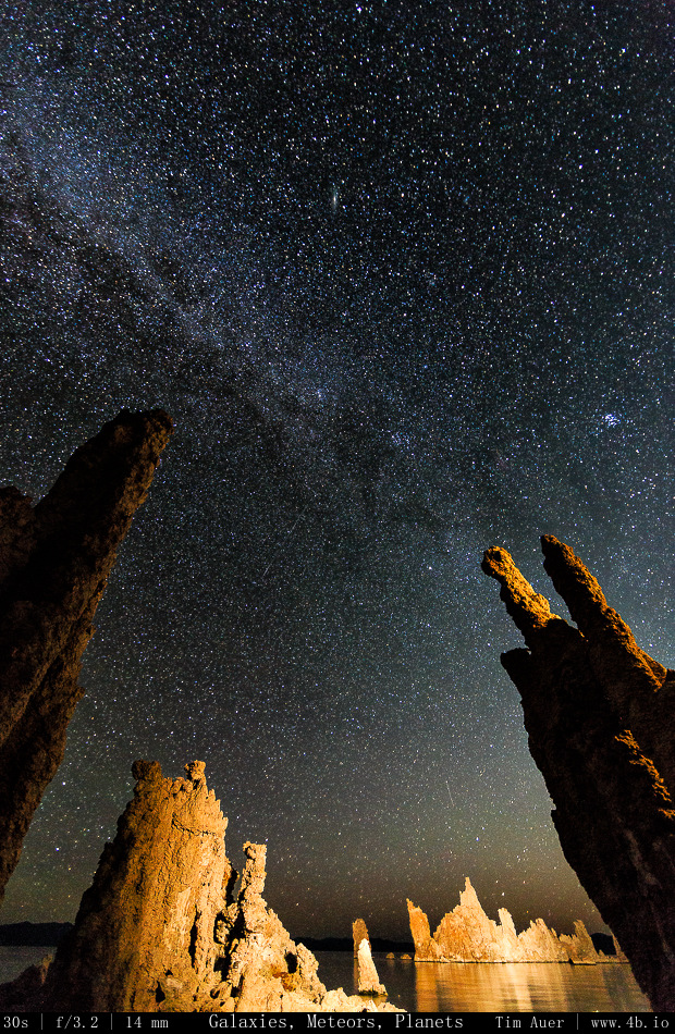
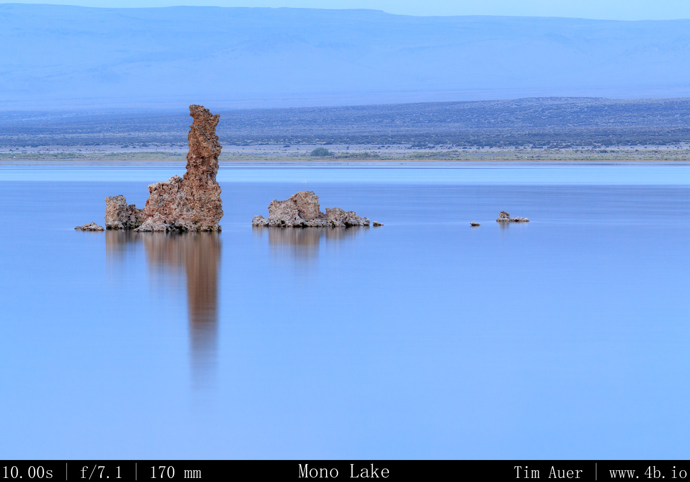
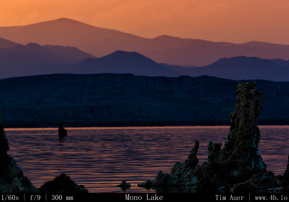
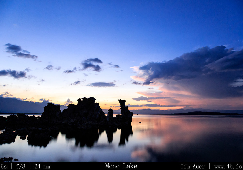
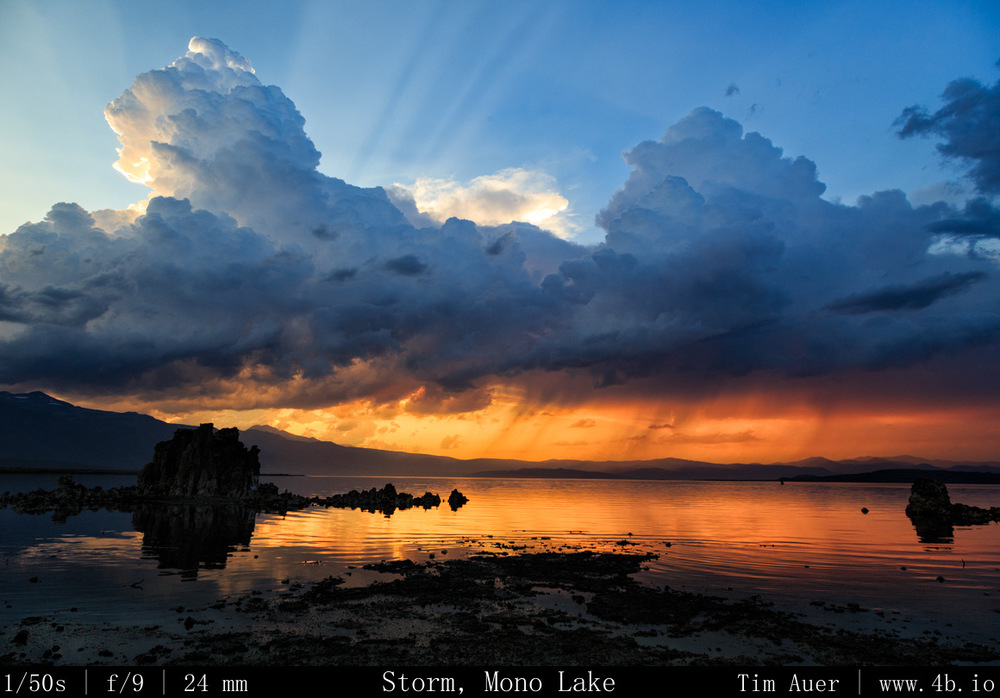
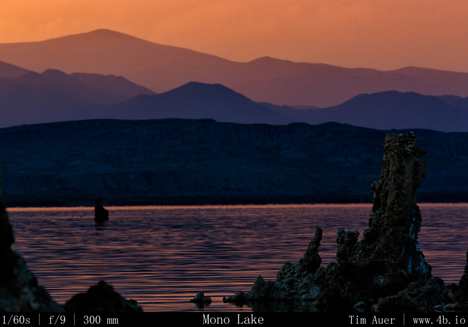
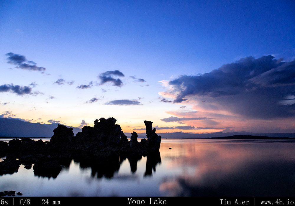
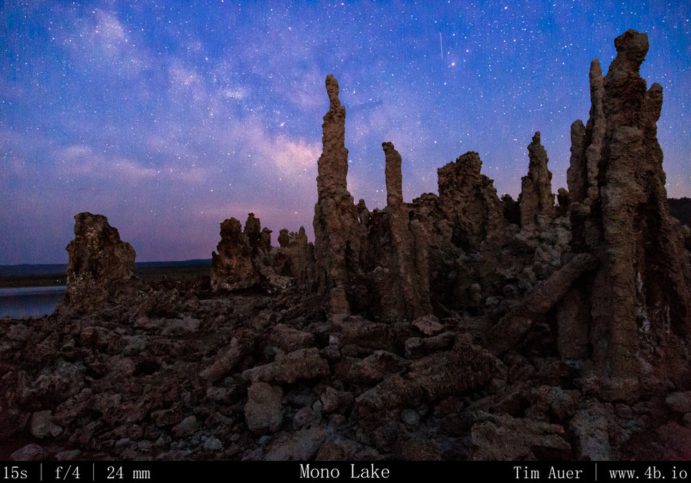
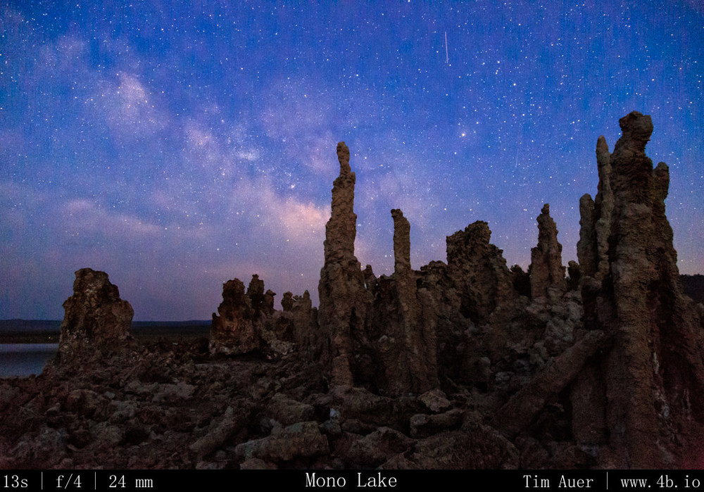
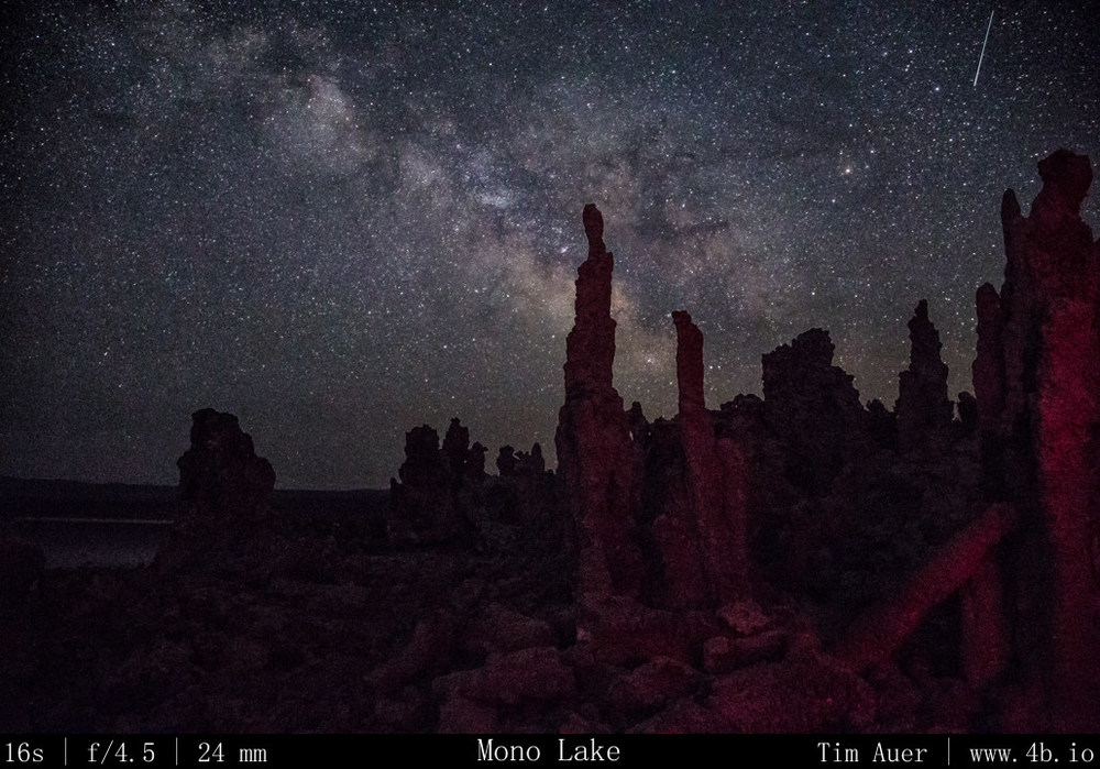
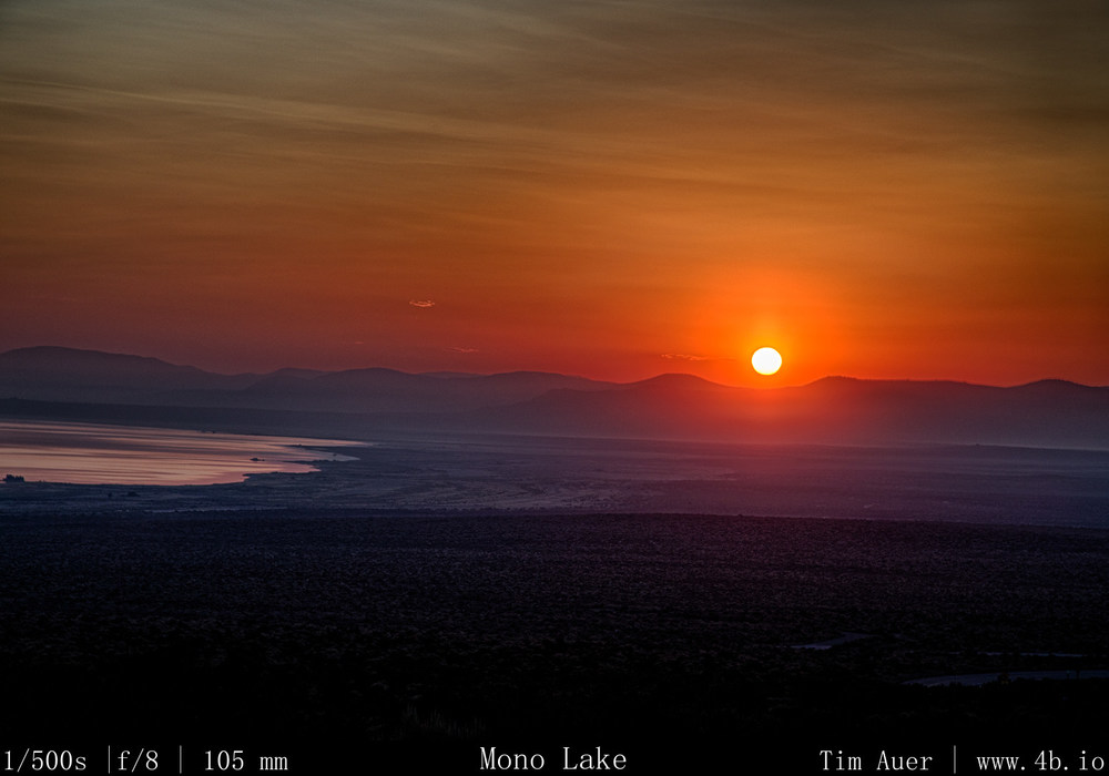
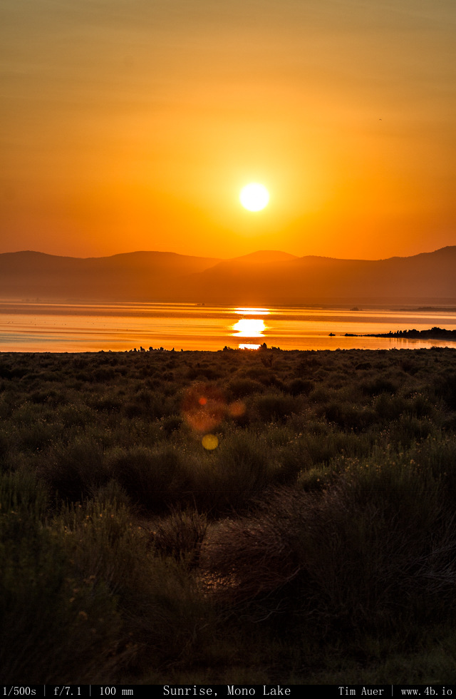
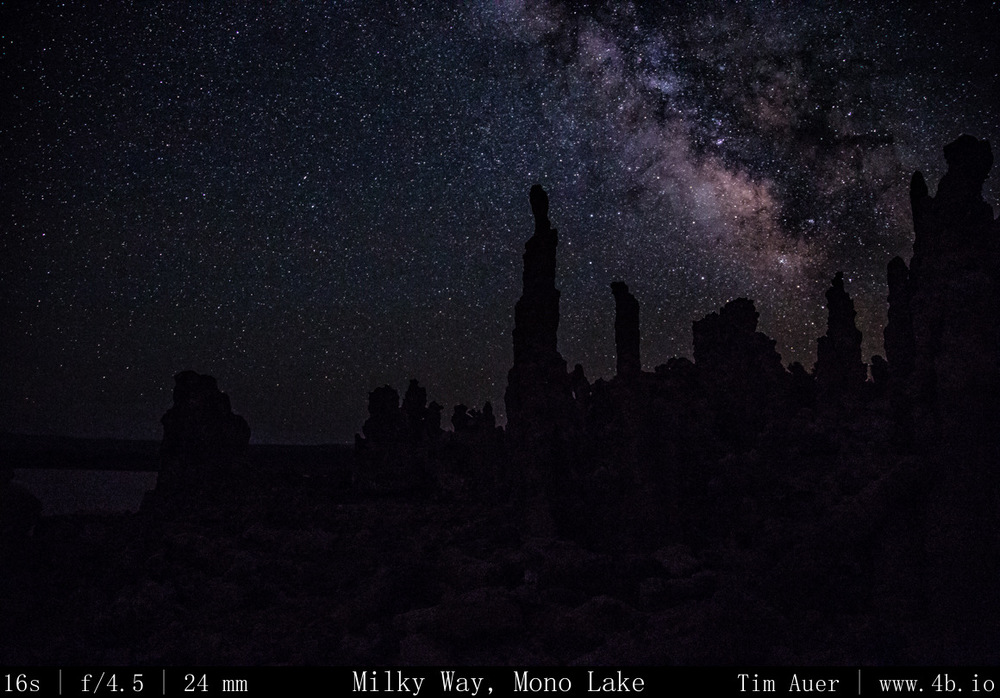
After finishing up at Bodie, I made my way back towards Lee Vining and Mono Lake for the evening astrophotography session.  As I ate dinner at “Bodie Mike’s” in Lee Vining, I received several imminent flash flood warnings for Mono Lake.  I decided to scrap my original plan: an all night time lapse while sleeping under the stars next to my camera, and go for something a bit less ambitious.  Fortunately, the storms cleared in time for sunset.  I was rewarded with a great sequence of sunset images and stayed out til about 01:00 capturing the Milky Way with tufa in the foreground.  Throughout the night I heard coyotes howling and yipping, owls hooting, and bats echo-locating. 

Dark skies abound.  

Photography:
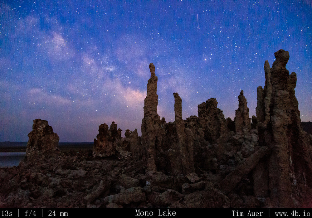
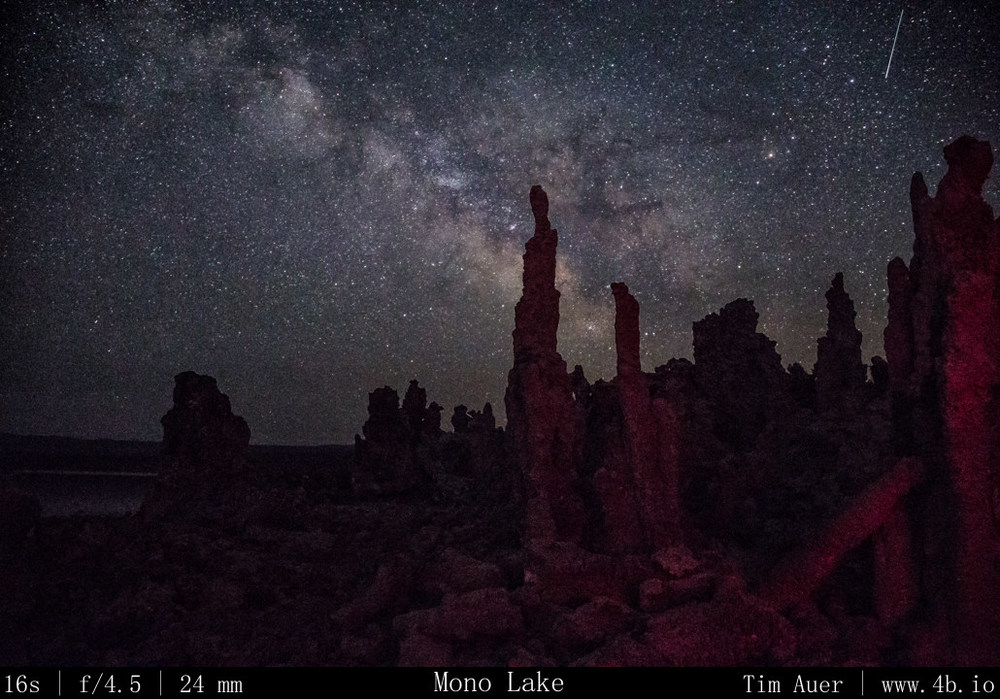
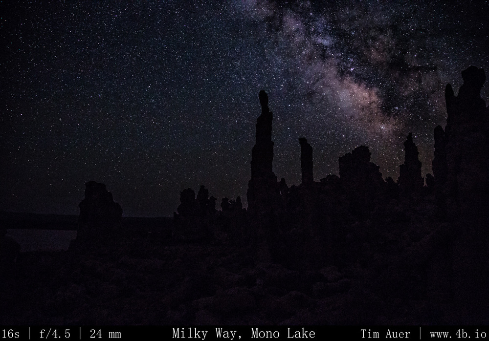
Milky Way captured using wide aperture (f/4.0, f/4.5) , high ISO, and the shutter speed defined, at the maximum, by the “rule of 600”.  Before sunset I set up the 6D at 24mm on tripod facing north west for time lapse footage.  The cloud formations were dynamic and interesting.  You could tell that while the sun was up, the storms were still being fueled, but as the sun dropped, the fluffy, anvil shaped Cumulonimbus clouds collapsed in on itself in a pink display.

Once the color was drained from the western sky, I recomposed the 6D for the Milky Way.  I did this during civil twilight because I wanted there to be enough ambient light left to maintain the auto-focus capability for the entire scene (fore and back).  This helped me to avoid wasting valuable minutes incrementally tweaking the focus manually in the dark.  Facing SSE (direction of Milky Way’s rise) and including some Tufa in the foreground, I focused camera on my scene, switched lens to manual focus, and began the time lapse of Milky Way.  At first I was in Aperture Priority, but when the shutter speeds began to increase to over 15s in the darker conditions, I switched from Aperture Priority to Bulb Mode.  I set my intervalometer to hold the shutter open for 20s each exposure, and upped the ISO mode.  Now in steady-state, I left the camera do its thing, checking it from time using the 6D’s Wifi image viewer features on my phone. 

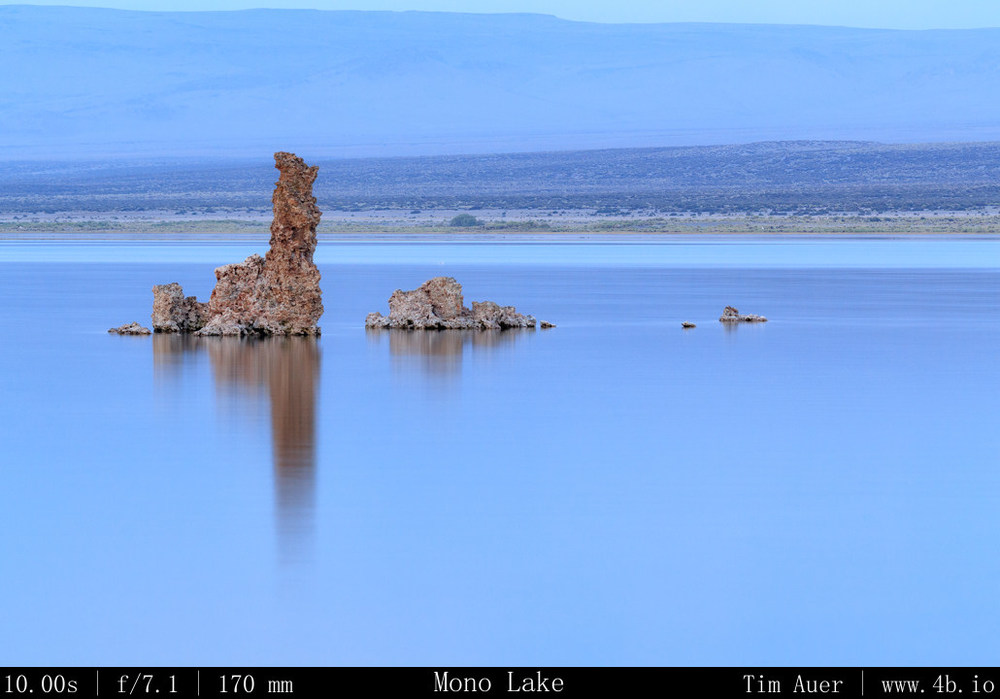
My second camera , the 1D, had a telephoto lens on it.  I used this for isolation shots of specific tufa outcroppings and compression of the lake with mountains and scenery across the lake.  

Part 1 The Dismal Side of the Sierras: Milky Way + more

July Fourth Weekend Photo Road Trip to the Eastern Sierra Nevada: The Dismal Side of the Sierras, Part 1 

Locations/Sites:
Bridgeport, Mono Lake; Bodie Ghost Town; Inyo Mountains; Lone Pine; Alabama Hills; Mt. Whitney; Bishop; White Mountains; Bristlecones; Death Valley (glimpse); Volcanic Tablelands; Red Mountain Petroglyphs; Yosemite(brief)
In total: 1022.5 driving miles.

see maps below for details

 When:

July 3 @20:30 – July 7 @12:30.

Background

To be clear, there is nothing “dismal” in the conventional sense about the backside of the Sierra Nevada, its my preferred side.  This region, from Mono Lake through the Owens Valley to Lone Pine, is a special, timeless place, like nowhere else I have ever visited.  I call it “dismal” because this rain shadowed strip of land, flanked on both sides by 14,000 ft. peaks, is a harsh and unforgiving environment, dotted with ghost towns, sage brush, salty alkali lakes, rattlesnakes, and tumbleweed.  Surviving here is not a trivial undertaking, and most humans are not up to the challenge, as evidenced by the ghost towns.  Yet in the midst of such adversity, life exists, sometimes thrives.  The ancient Mono Lake, sometimes called a dead sea, teems with life.  The Earth’s longest lived organisms are found here, the Bristlecone pine.  Some of these spectacular trees took root in the nutrient poor dolomitic soil of the White Mountains hundreds of years before the first pyramids of Egypt went up, and still hold onto life to this day.  Of course, not all Bristlecones last over 5,000 years.  There are special considerations to account for such longevity, but it might not be what you expect. Lower elevation Bristlecones, with the relatively abundant resources, are not nearly as long lived as their resource scarce brethren at 11,000 feet.  The longest lived of the Bristlecones do not survive in spite of their harsh environment, but because of it. The weathered towns and dry landscapes even appear sepia-toned, accentuating this timeless feeling.  All of these factors distort our perception of time, creating a sensation of time-travel when visiting this part of the world. 

A few days before

I scouted locations in the Eastern Sierra Nevada that I felt would be interesting to photograph, with an emphasis on time-lapse, long exposures, and Milky Way/astrophotography.  I loosely developed a route, taking into consideration ways to best optimize the lighting conditions at each location.  The plan was not set in stone, and flexibility was key.  I had no reservations, nor had I researched hotels or campgrounds.  Not that anything would be available last minute Fourth of July weekend.  The plan was to sleep in my car as much as possible.  Hotels and campgrounds offer conveniences that may distract me from my photography mission (photographing the night sky). In my opinion, the 2 or 3 hours spent in a hotel room would be a waste for someone staying out past 01:00 and rising before sunrise.  Plus given my nature, I knew I would be less likely to rouse at 04:00 to catch the sunrise while snug in a hotel room bed.  To combat my inherent laziness, I resolved to “sleep” as close as possible to the sunrise locations.  I call it “sleep” for lack of a better term.  It would more accurately be described as a nap between 01:30 and 04:30.

The month of July is a great time to photograph the Milky Way. There are a couple reasons for this.  The first being it is the height of summer in the Northern hemisphere, and the sun follows a more northerly path, setting in the north west.  Therefore, the darkest sky will be in the South-East, opposite the sun. This piece of sky happens to be roughly where the most concentrated piece of our galaxy is  at sundown.  The Milky Way can be found at the horizon In a South-South-East direction, in-between the constellations Scorpius and Sagittarius.   The sky opposite the sun receives less lingering twilight, darkens quicker, and reveals the Milky Way at the horizon.  The other reason is the waning crescent moon wouldn’t rise until after 03:00 this weekend. The perfect combination for dark skies!

As my reference points for my composition, I used the constellations Scorpius and Sagittarius, plus the position of Saturn, which reveals itself earlier than the stars and was roughly due South.

Additionally, I hoped to visit some cultural sites in the area to complement the nature scenes.

Additional Research

To further my understanding of the Eastern Sierra skies, I studied the position and movement of the stars using the open-source Stellarium software.  I plugged in the latitude and longitude of the locations, adjusted for elevation and let it play, introducing myself ahead of time to what I hoped to witness in person.  This knowledge was key in my scouting exercises. 
 

Day 1 Map/Route


View Larger Map

Day 2 Map/Route


View Larger Map

Day 3 Map/Route


View Larger Map

Day 4 Map/Route


View Larger Map