Alaskan Arrival

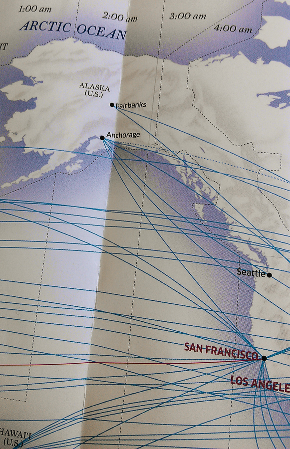
SF to Anchorage flight was this evening, now I am in hotel in midtown Anchorage, preparing for my great bear adventure.  Tomorrow I fly on two more planes:  Anchorage -> King Salmon, and King Salmon -> Brooks Camp (float plane) to reach Katmai National Park out on the Alaskan Peninsula.  All in pursuit of the massive coastal brown bears that live there… I will camp in the NPS campground there and maximize my time seeking out the bears.

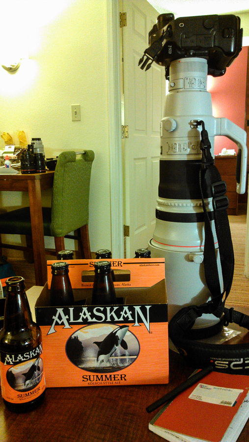
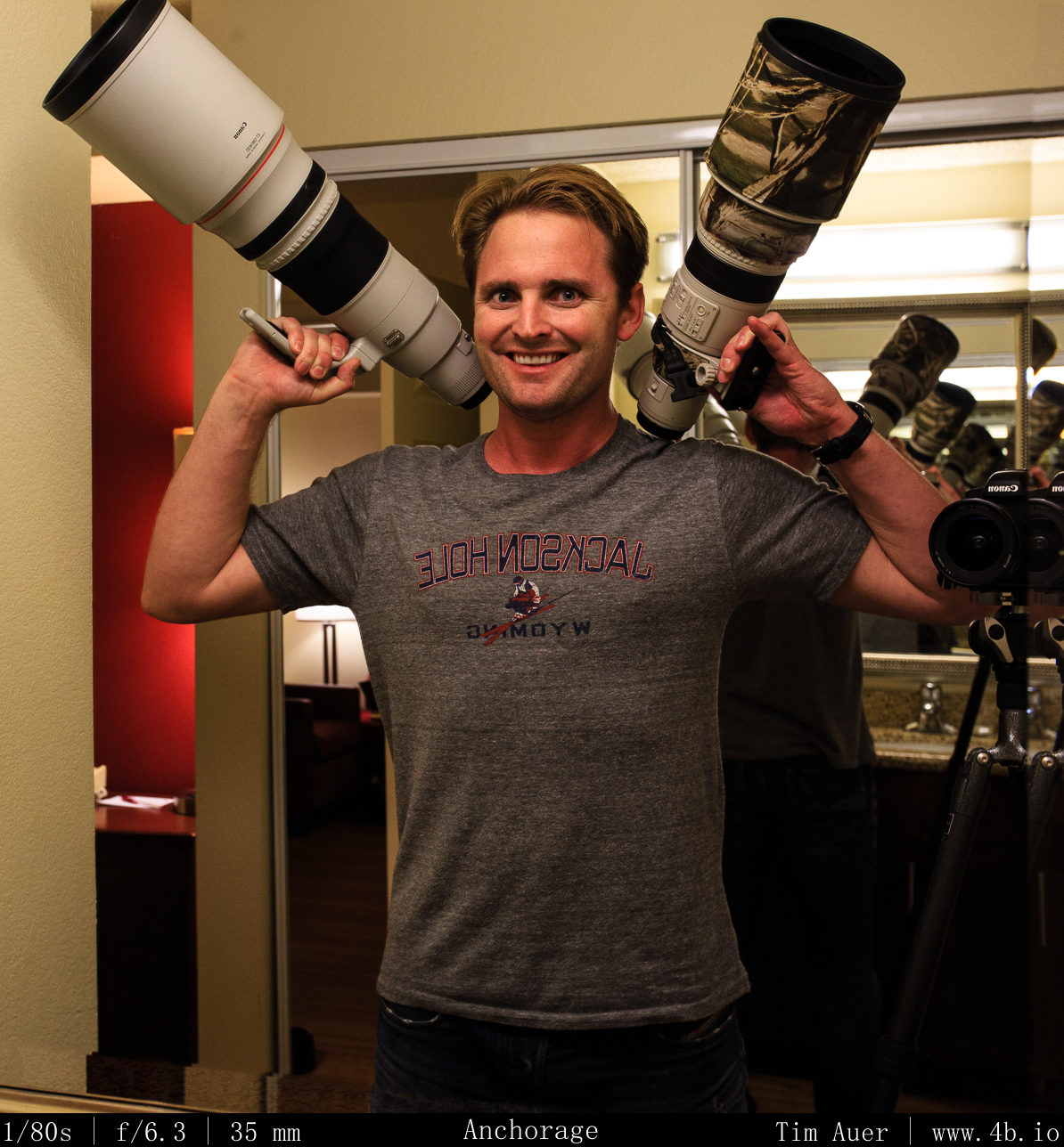
I have cleaned my sensors and lenses, formatted 400GB worth of memory cards, charged 11 camera batteries, and re-activated 5 Pelican desiccants (this Peninsula is wet).  Lets puts this 500mm to work.

Check out the following link from time to time, you will see some bears, maybe you will see me.  This camera pans quite a lot, but there is a gated bridge that I will be crossing when it opens each day at 07:00 Alaska time.

http://explore.org/#!/live-cams/player/brown-bear-salmon-cam-lower-river

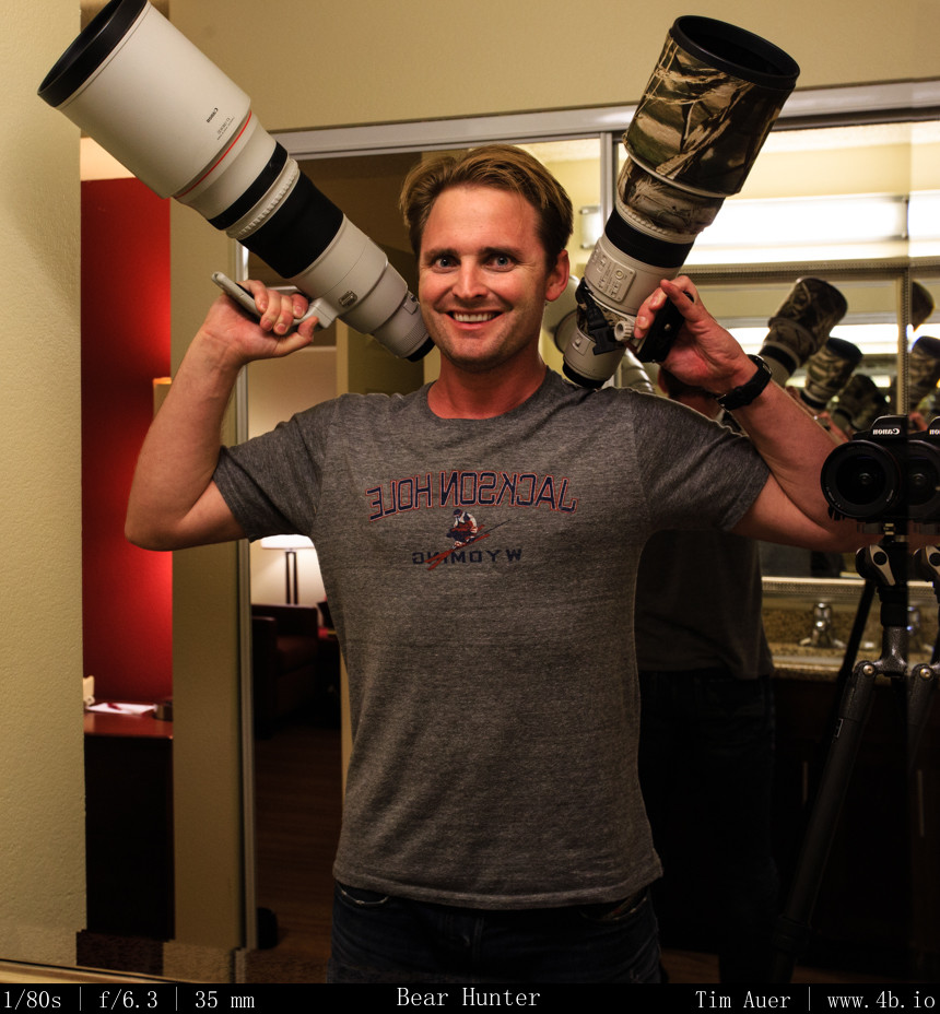
Bear Hunter
Bear Hunter

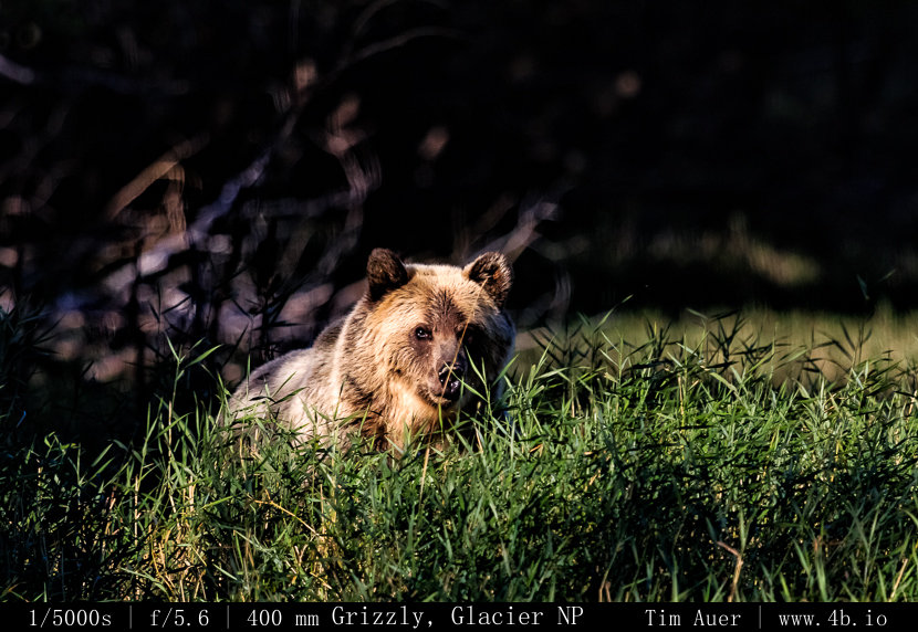
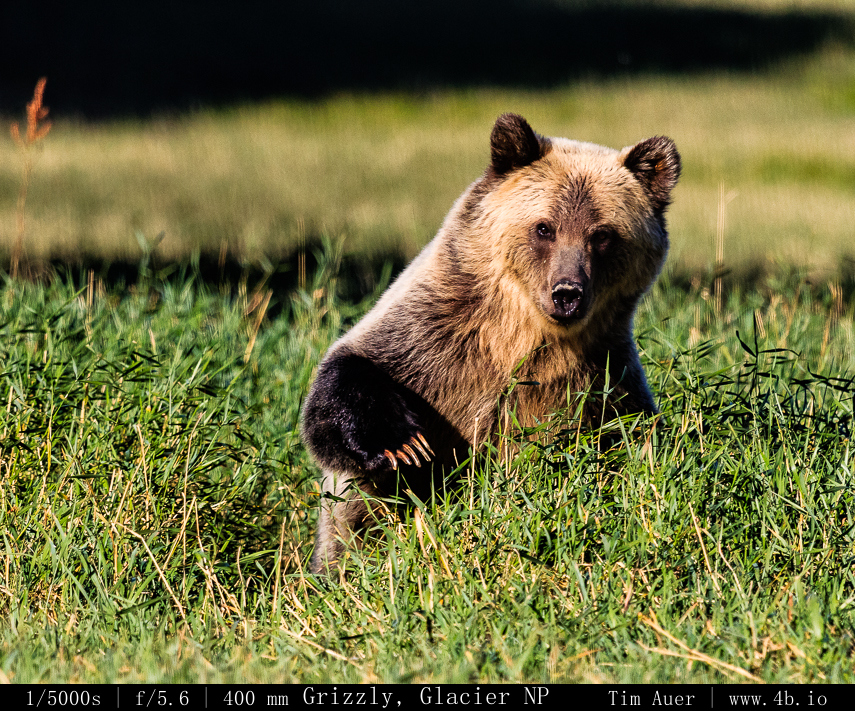
Glacier Grizzlies

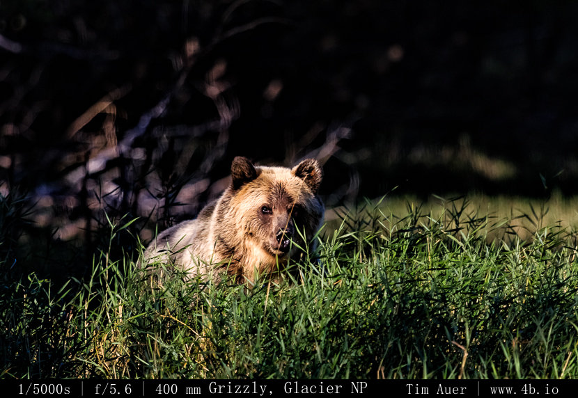
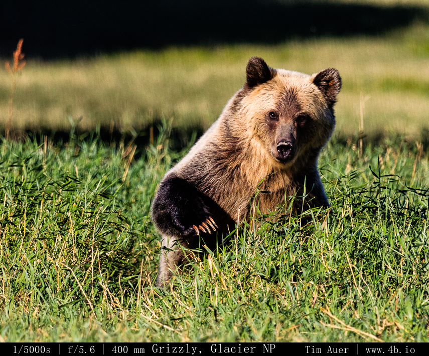
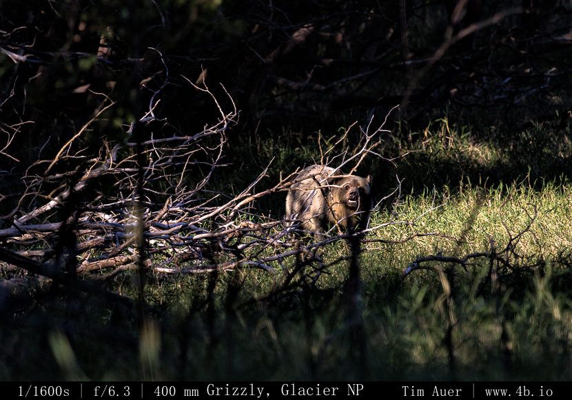
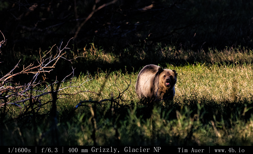
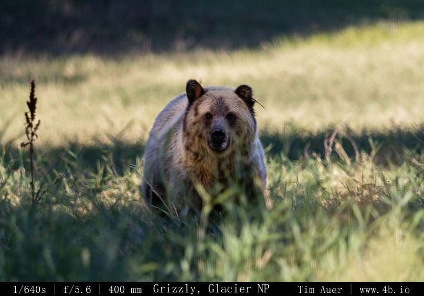
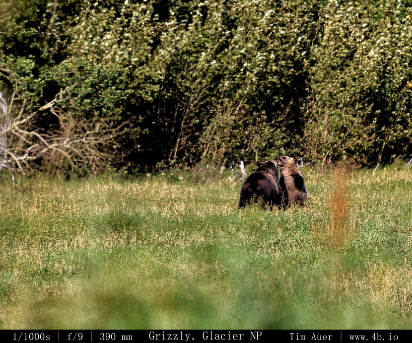
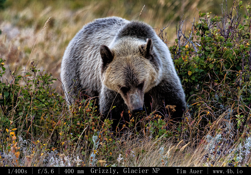
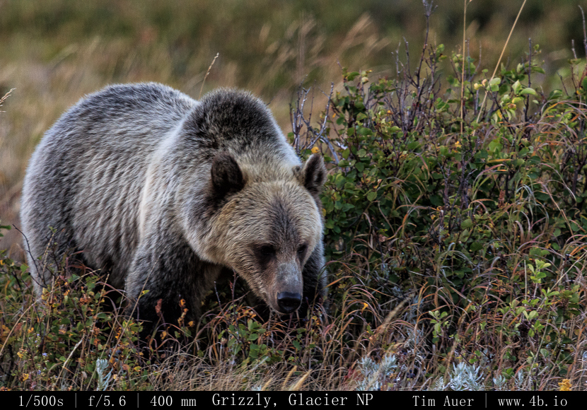
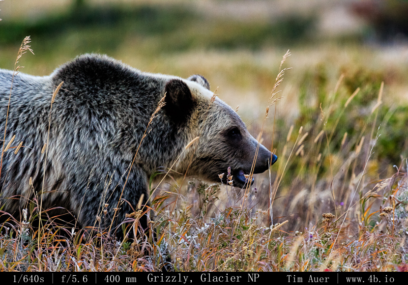
In preparation for my trip to Katmai National Park this week.  Here is a small gallery of photos taken on a single day from last years trip to Glacier National Park (Sept 2012).  These were taken in the Many Glacier section of the park. It was crawling with bears, both grizzlies and black bears.  I was shooting with Jeff Callihan.  We made sure to stay upwind from where we assumed the bears were located, thereby alerting them of our presence by scent. We saw several grizzlies, including a mother and her cub.

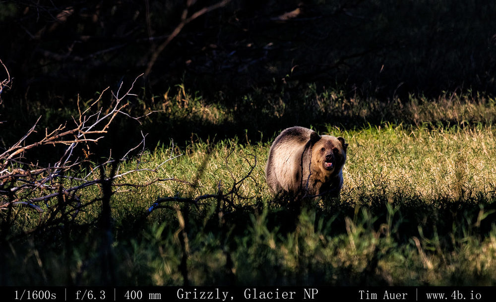
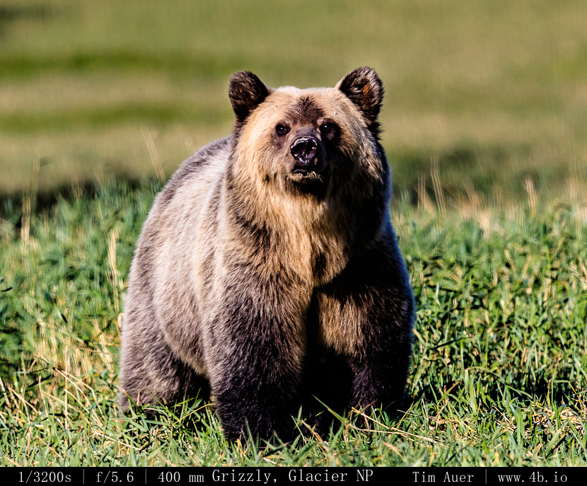
One of the grizzlies got a bit too close for comfort, as seen in this gallery. We handled this bear calmly, carefully and respectfully. The bear had been popping in and out of the thicket for several hours, never coming within 200m of our position. We remained stationary the entire time.  After sometime, the bear began to appear closer to our position. When she emerged from the thicket about 40m away, we stood up and slowly moved, side by side, away from the thicket and into the meadow to give her right of way should she desire it.  Looking at us, she kept coming towards us.  When she charged in our direction, we spoke firmly to her, reassuring her of our implicit human-ness.  The charge was likely a curious, exploratory one. But one can never be complacent with a charging grizzly, and the simple act of showing our backs could have triggered the predator/prey instincts of this apex predator. 

At the nearest, she was within 20-30 feet of us.  Once the situation was defused (without needing to spray the bear), Jeff and I quickly left the area and returned to his truck with a freshly invigorated respect for these powerful animals. 

The Grizzly bear is a subspecies of the Brown Bear. To be clear, a grizzly (Ursus arctos horribilis) is an interior North American Brown Bear and was so named by the “grizzled” (read: silver tipped) appearance of its coat, which can be observed in these photos.  This subspecies is different from its larger and less “grizzled” cousins found in the coastal regions of Alaska, including Kodiak Island and Katmai NP, and other brown bear subspecies (Russia, Europe).  Despite this, and this is where the confusion stems, the eponymous term Grizzly Bear has been applied to both the inland and coastal varieties of the brown bear. This is because the name “Grizzly Bear” is so awesome that the people near other brown bears got jealous and wanted a name more inventive than “brown bear”.  While it is true that a proper inland grizzly bear is pretty awesome, other brown bears are awesome too, so they shouldn’t feel jealous of their smaller, meaner kin.  The interior grizzly bears can be found in places like: Yellowstone NP in Wyoming, Glacier NP in Montana, Idaho, Washington, the parks of the Canadian Rockies, and inland Alaska (such as Denali NP).  There is also an indie band named “Grizzly Bear”, but don’t let their lame and wanna-be obscure musical styling confuse you with the ferocious nature of this animal. Unless they took inspiration from a grizzly bear’s hibernation period, it would have been more appropriate for them to call themselves “Prairie Dog”.

2013 Perseid Meteor Shower

August 9 – 11, 2013

*Gallery at bottom*

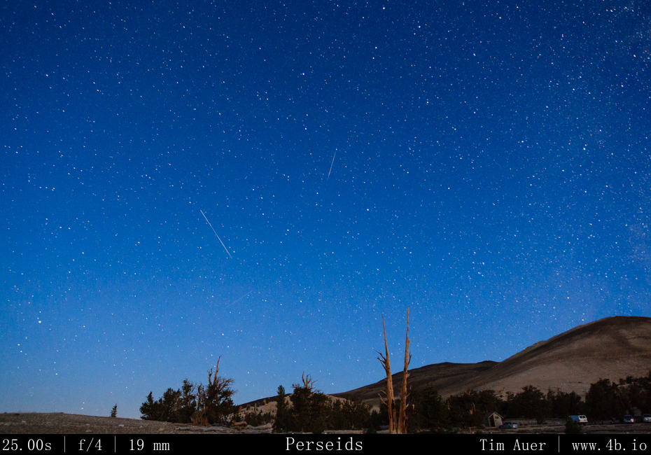
Another August, another Perseid Meteor Shower….the 2013 edition.  Not including the weeks of research and my previous scouting trips, I began my search for the Perseids late Friday evening for what was an astonishingly grueling three night photo epic to the dark skies of the Eastern Sierras…
Golden red morning light Golden red morning light

Leaving my house in Mountain View at 21:00 on Friday evening Aug 9, I began my drive East.  As Friday blended into Saturday, I reached the Big Oak Flat entrance of Yosemite National Park. According to the weather board at the entrance gate, the daytime temperature for the high country of Tuolumne Meadows that day was 90F.  I continued on Rt. 120 through the park towards Tioga Pass.  At 01:00, made a brief stop at Olmsted Point, where there was access to a vast and clear sky.  I snapped a few photos in the direction of Tenaya Lake, and caught glimpses of my first Perseids of the season.  High up in the Sierras, the temperature had plummeted from its daytime high of 90F, and hoovered at the 28F mark (according to my car thermometer).  After making my way over Tioga Pass and through the East Entrance of YNP, I began my descent towards Mono Lake.  The temperature warmed gradually as I lost elevation. Arriving at the South Tufa Area at 02:30 Saturday morning.

There was only one other car in the parking lot.  The car belonged to another photographer who happened to be wrapping up his session for night.  While I thought him nuts to be leaving as the meteor activity began to peak,  I had the entire Lake to myself. I was feeling relaxed and excited.  Bats whizzed around my head, owls hooted, coyotes howled. I was even able to see an Owl silently flying 10-20 ft above my head.  I was startled by its “shadow” and pointed my Surefire light at the shape, and watched it as it passed by.  I’m sure the Surefire did wonders on the owl’s night vision too.  Using only a casual, single camera set-up, I shot until approximately 05:30 before calling it a night.  As I was getting myself situated for sleep in back of my wagon,  Three cars arrived carrying a group of photographers looking to shoot the sunrise. They were in luck because the sunrise that morning turned out to be spectacular.  I yearned to capture it, but refrained from doing so.  This trip was about the meteors, so I soaked it in without the burden of camera apparati.
Minarets Minarets

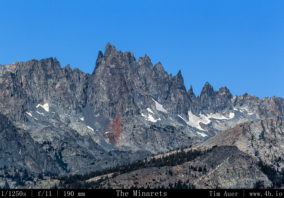
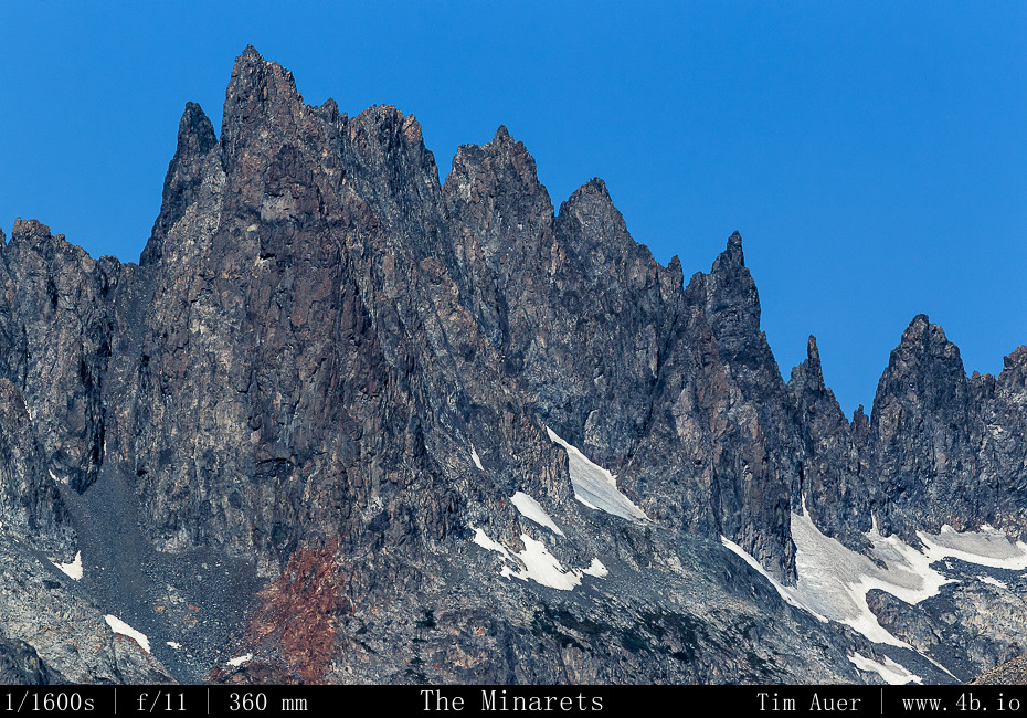
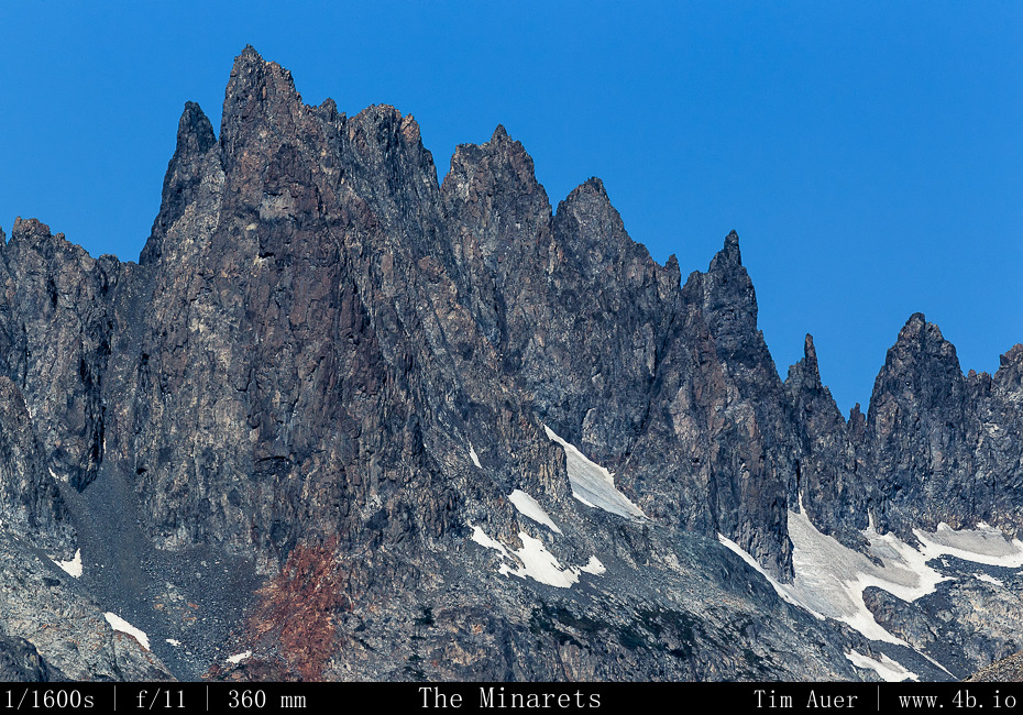
By 07:30 I was up and eating breakfast at Nicely’s in Lee Vining.  I continued south down Rt. 395 towards Bishop, stopping at Mammoth Lakes and the Minarets.  Once in Bishop, I stopped in Galen Rowell’s Mountain Light studio and perused his work, seeking inspiration from a master.  While there I bought two books, one a collection of technical essays he’d written and the other his best of Sierra Nevada images.  I arrived in Lone Pine by early afternoon, bought some food, water, and beer, and set forth into the Alabama Hills….

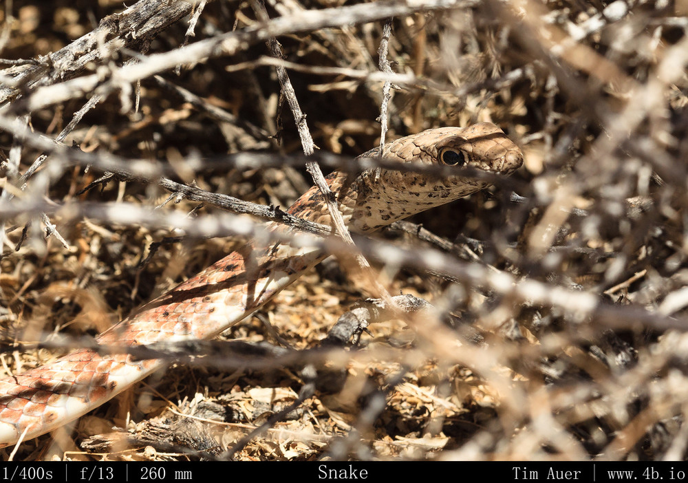
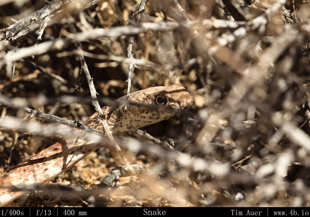
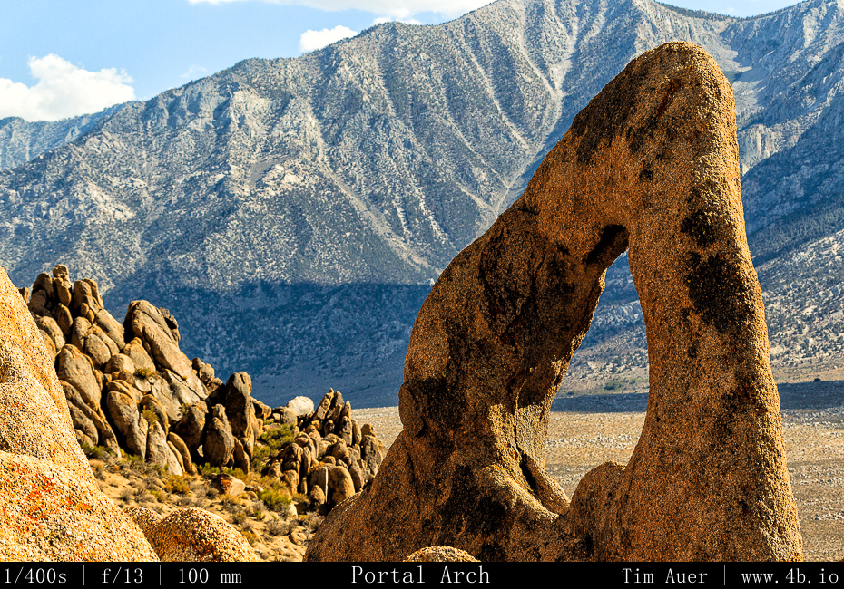
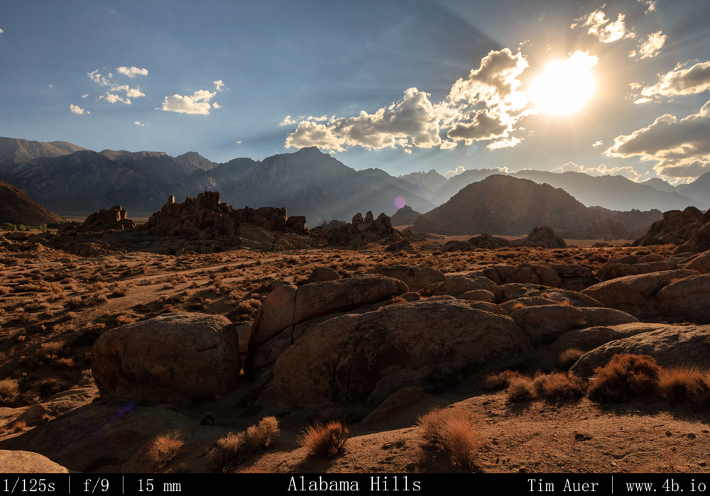
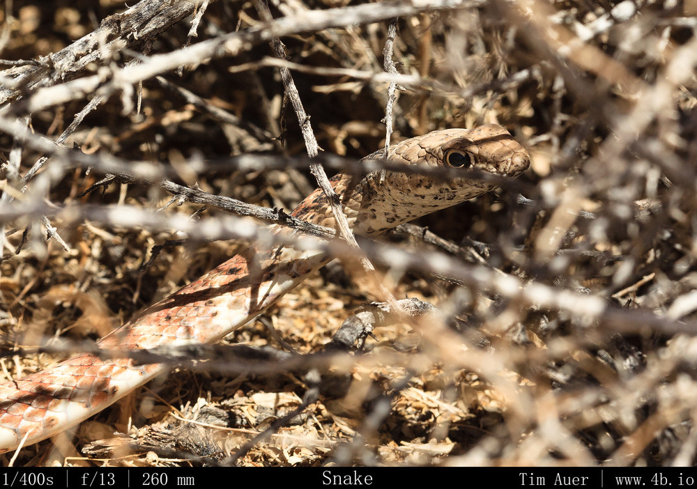
I explored the Alabama Hills by driving along Movie Road and some its derivative “roads”, doing short over-land hikes to the various arches and interesting granite formations.  Treating my extremely low clearance vehicle like it was a Jeep, I was fortunate that I didn’t become stuck or break an axle.  While I was exploring new areas of the Alabama Hills, I was also scouting suitable locations to set up camp and shoot the Perseids.  While hiking I came across a 5 foot long Gopher Snake, which, upon noticing me, curled into a mock Rattlesnake position, imitating its venomous cousin by vibrating its rattle-less tail in a fascinating sign of defense.  Naturally, I got as close as possible and took photos of it.
Imitation Rattler Imitation Rattler Alabama Hills + Sierras Alabama Hills + Sierras
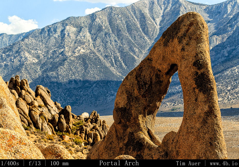
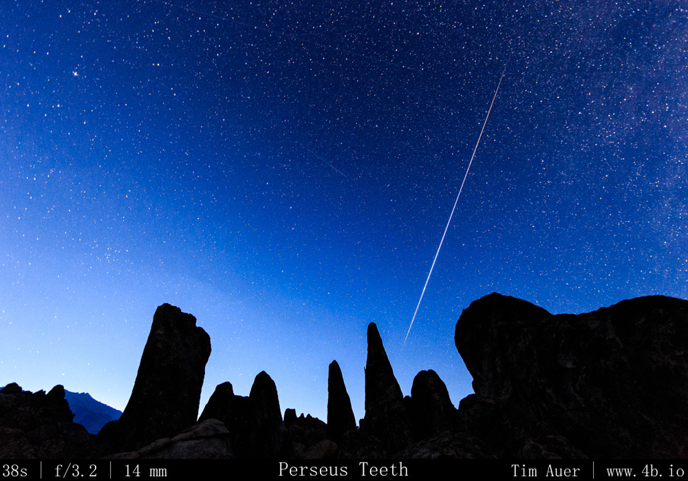
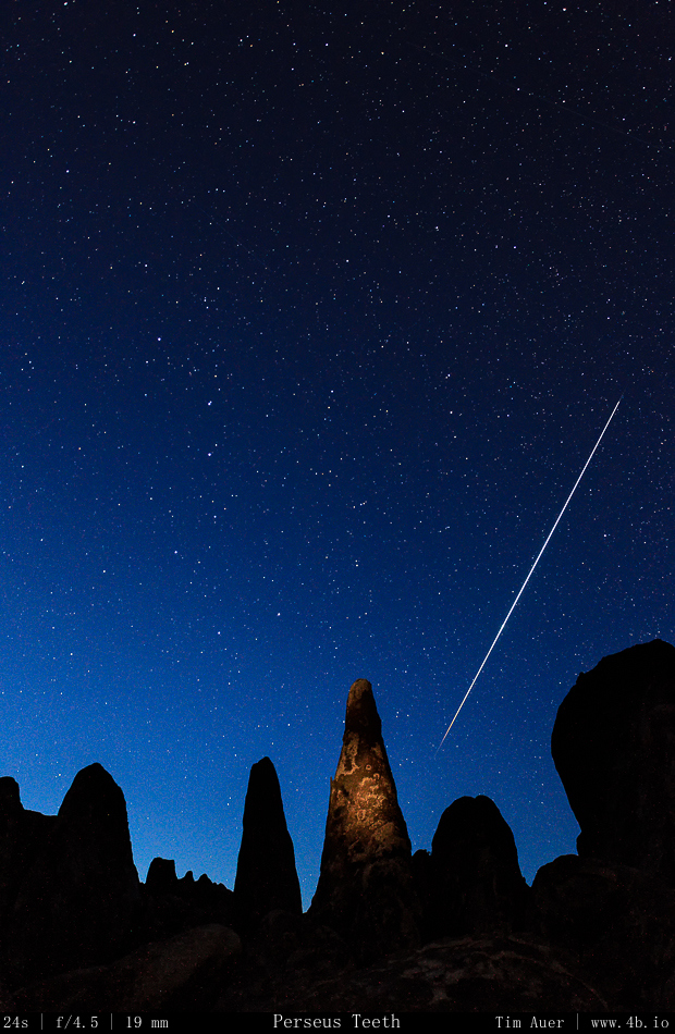
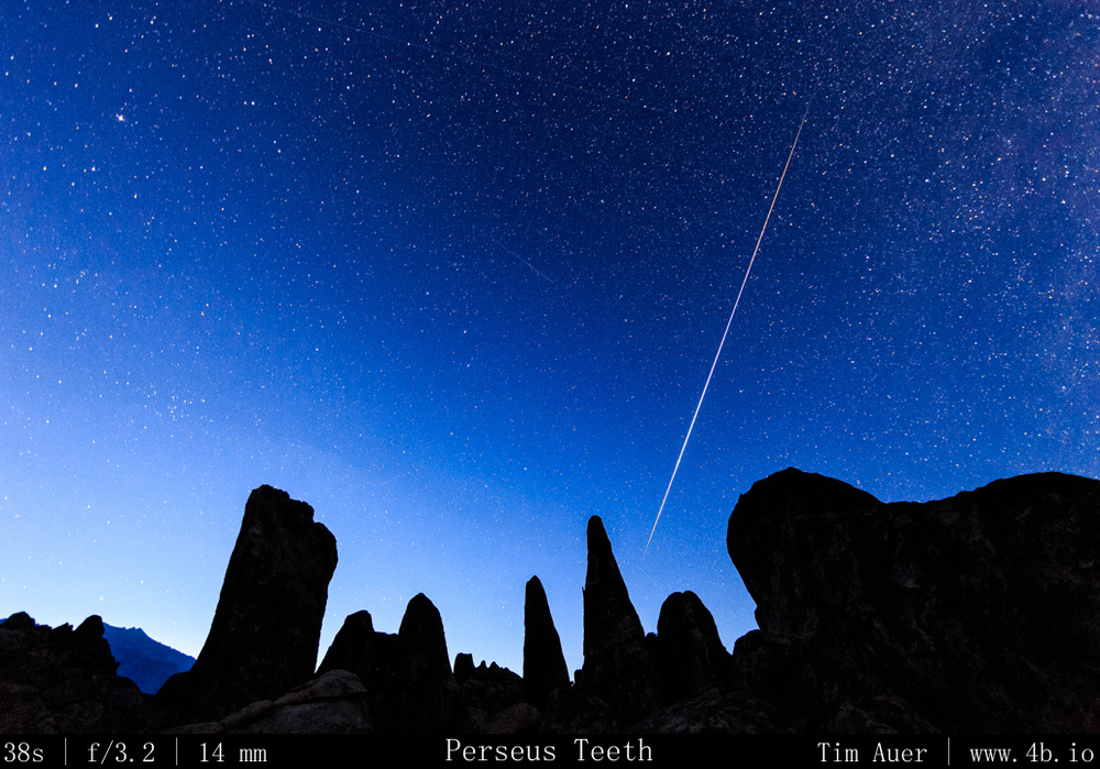
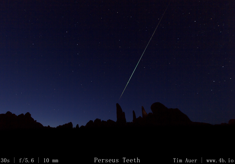
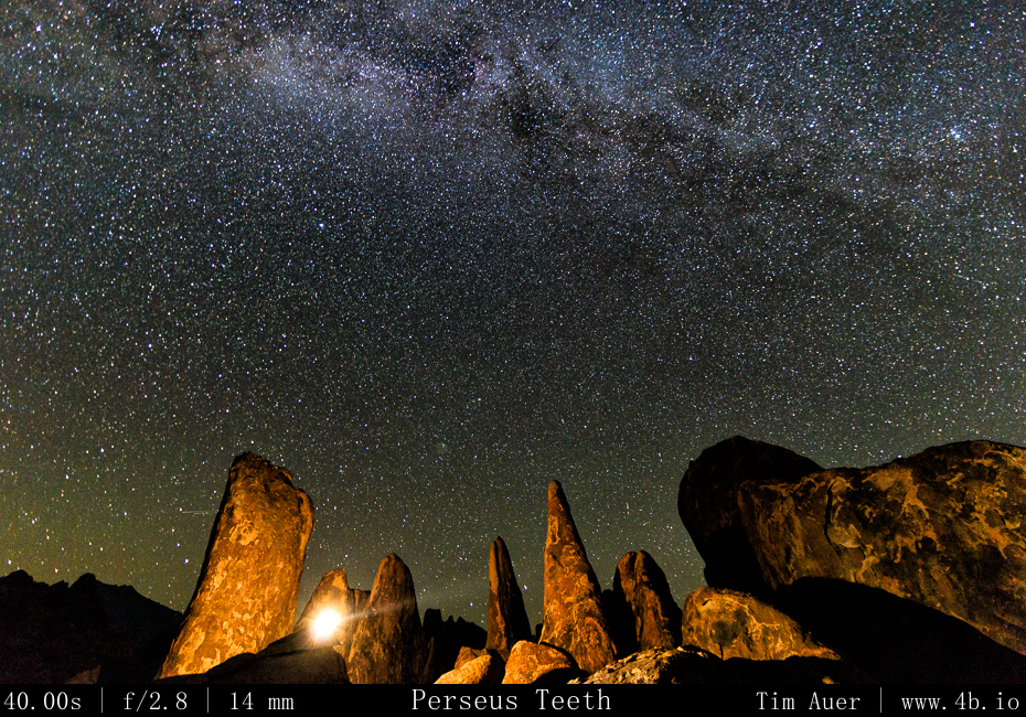
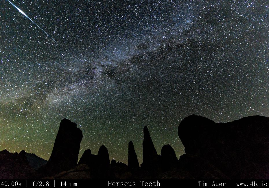
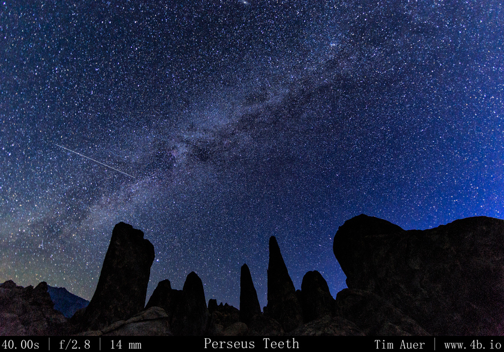
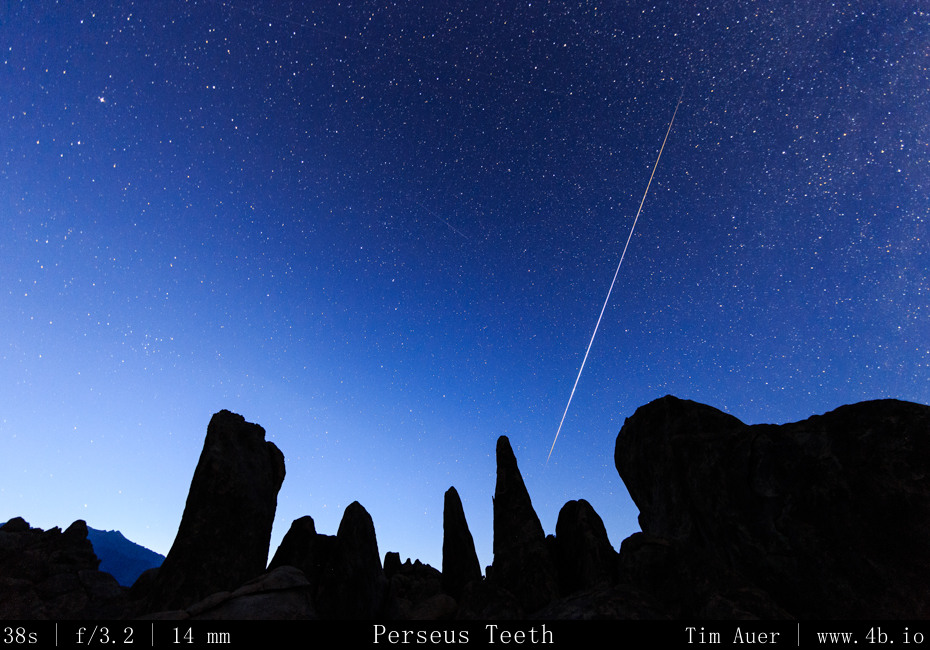
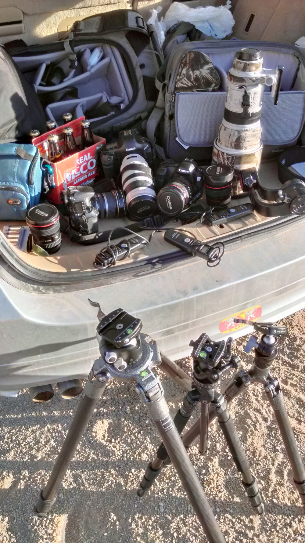
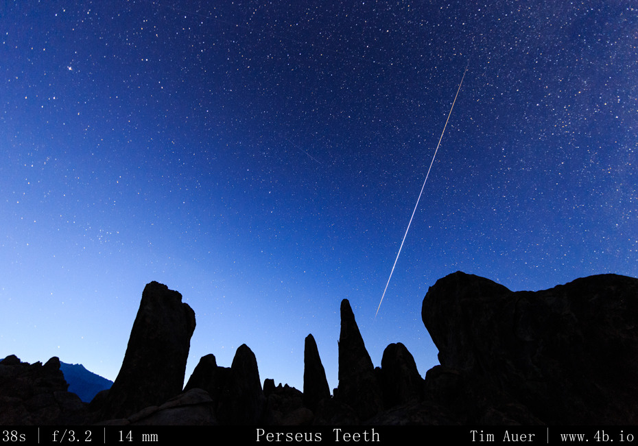
After searching long and hard for 6 hours, I finally settled on a location that satisfied my requirements.  I wanted maximal Northeastern sky exposure and a rock formation that reached into the sky to create an interesting foreground. By the time I found a qualifying location, it was two hours away from sunset.  Using the remaining daylight, I set up camp and composed my shots for the night. Tonight would be a 3-rig set-up. During this time before sunset, the temperature was warm, mid-80s, and very windy. Which made it difficult to set-up my tent and change lenses without dust.  Fortunately the wind died down as the sun dipped behind the Sierras to the west.  I climbed high up on several boulders and literally “bouldered” to get in position.  From this vantage point I positioned my 6D+14mm F/2.8 (rental) and 1D Mk.iv+17-40mm F/2.8 angled up towards the Northern sky.  These cameras, with granite spires in the foreground would use high ISO and shorter shutter speeds to permit the sharp capture of the celestial bodies.  The FF 6D + 14mm prime would allow for longer exposures, while the 1.3x APS-H 1D Mark IV + 17mm zoom would have to be shorter.  On the 6D I used a 38s exposure time and on the 1D I used 23s.

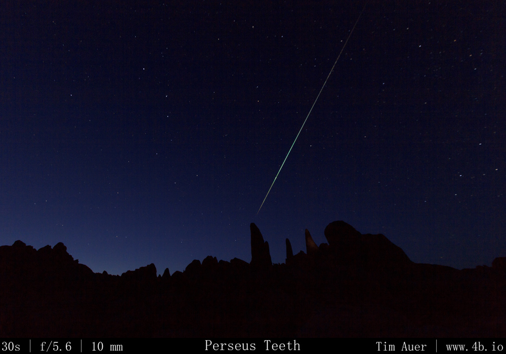
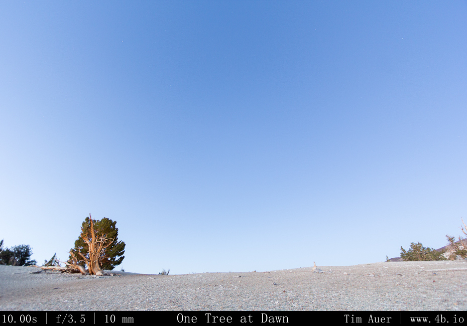
At a lower spot and on a smaller boulder, closer to my tent, I positioned my 60D+10-22mm F/3.5 with a minimal horizon and a vast north eastern sky exposure in frame.  This camera covered the path that Perseus would race across the sky that night.  The 1.6 crop body APS-C 60D + 10mm zoom is wide enough to allow longer exposures, but I used this one to do 10 minute exposures for star trails.  My hope was by leaving the shutter open 10 minutes, there  would less down time and capture more meteors, at the expense of not being sensitive enough to catch the fainter ones.
How to prepare for a photo shoot How to prepare for a photo shoot

I configured each cameras’ intervalometer, and hit go, hoping I’d be able to sit back and enjoy the show with a beer. As I should of expected, that was not the case and I barely finished the beer I drank with my Boudin bread and beef jerky dinner.  I stayed alert and was constantly shifting the entire night.  Spending the next 10 hours tending each camera and finding different positions to light paint the foreground granite. Wary of rattlesnakes and falling off (or in-between) house sized boulders, I put on a pair of jeans and resolved to never take a step without putting a light there first, and to always follow the same route used to climb up, on my way down.  There would be no trail blazing in the darkness.  By 05:00, I was exhausted, but satisfied with the meteor activity, I went to my tent and took a nap until the sun rose above the Inyo Mountains and shone into my face at about 07:00. 

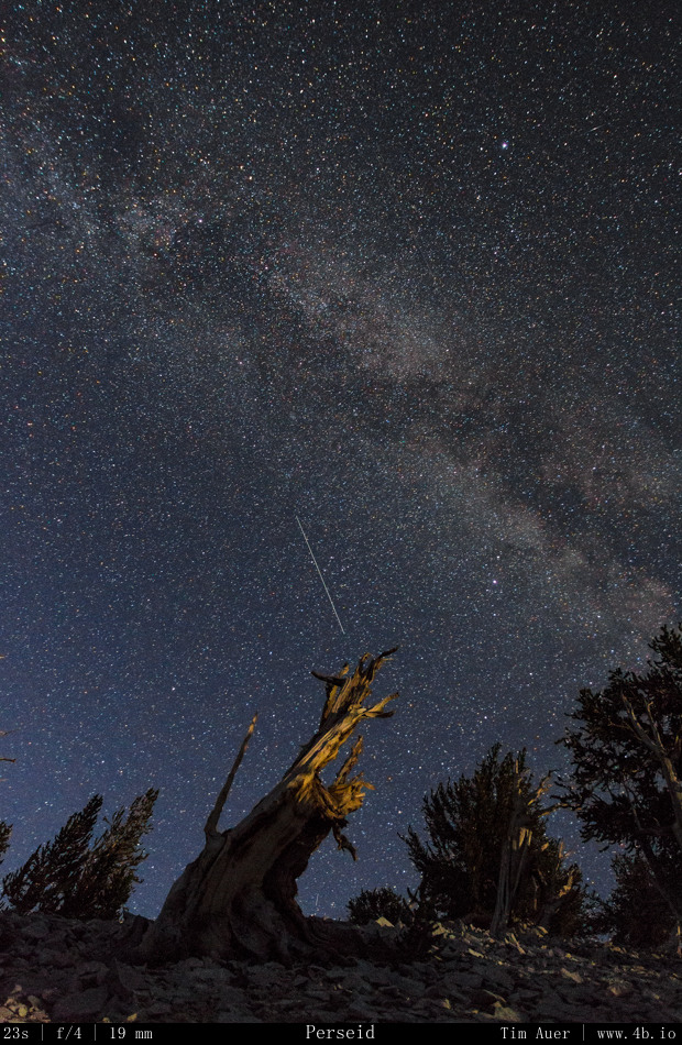
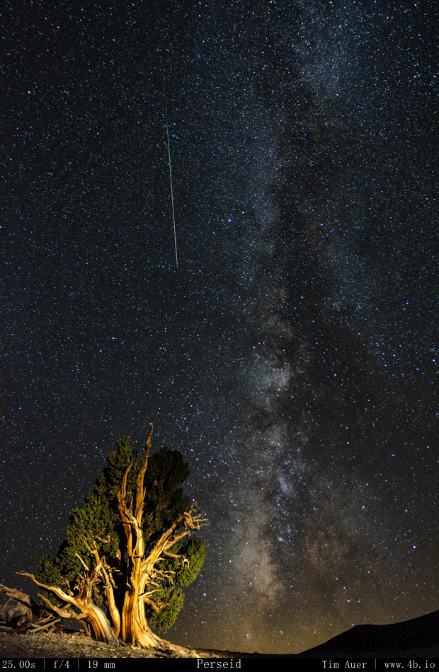
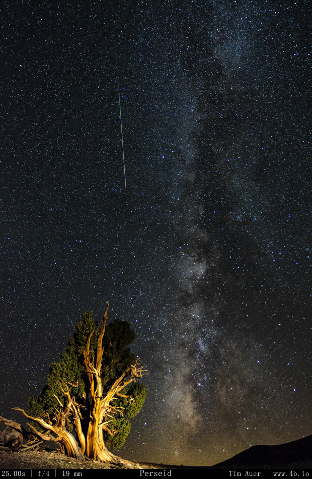
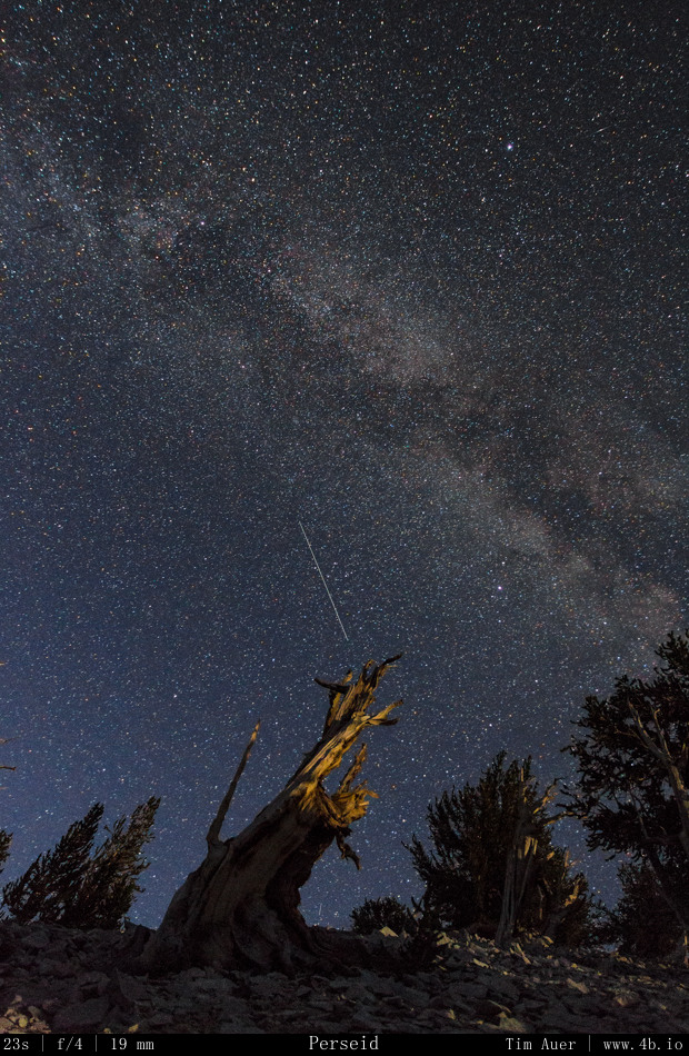
The highlight of the night: capturing the single brightest meteor.  A massive green fireball that seemed to burn itself through separate stages, like a Saturn V rocket, as it skipped across the atmosphere.  Not only was I able to capture it with one camera – I had the good fortune to record this event on all 3 cameras. Each one showing a slightly different perspective of the same meteor.

(For less confusing examination of the multiple perspectives, see the gallery below)
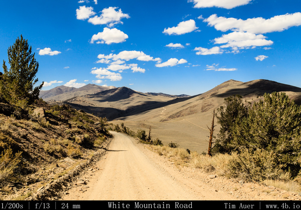
The long and winding road.. The long and winding road..

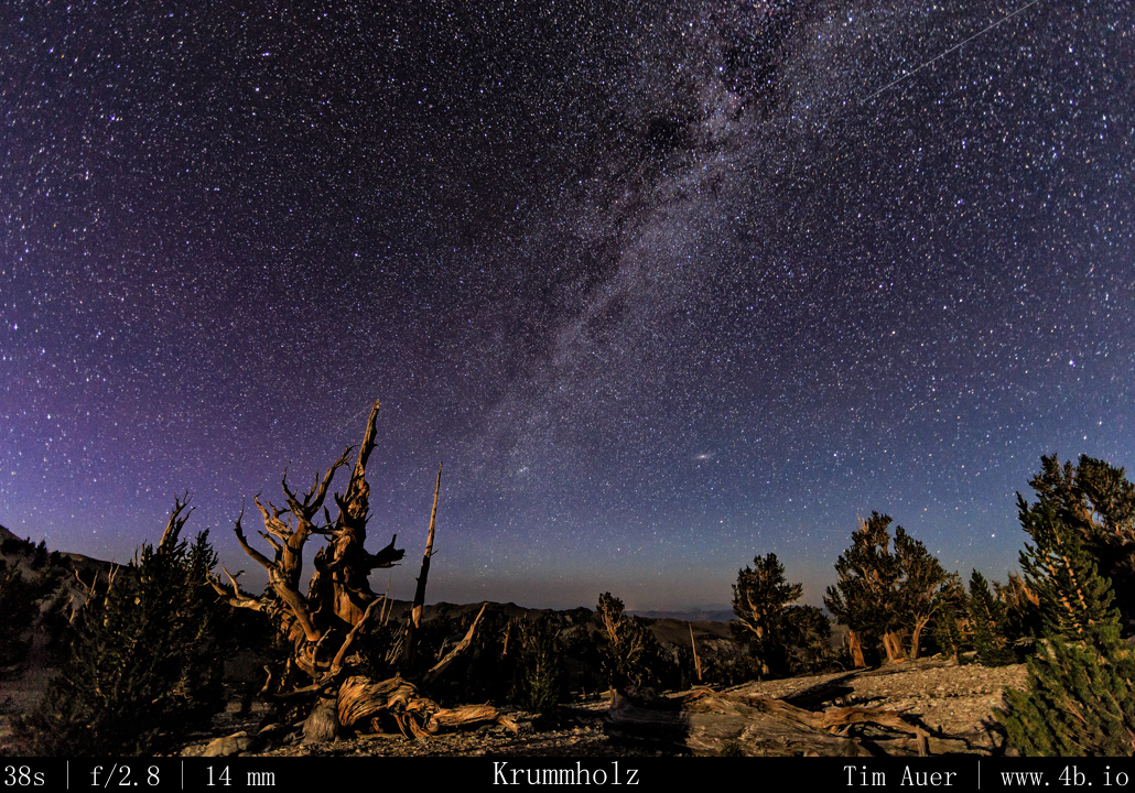
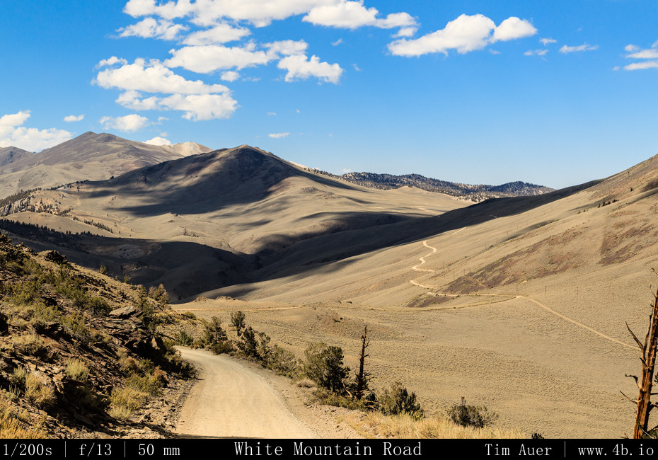
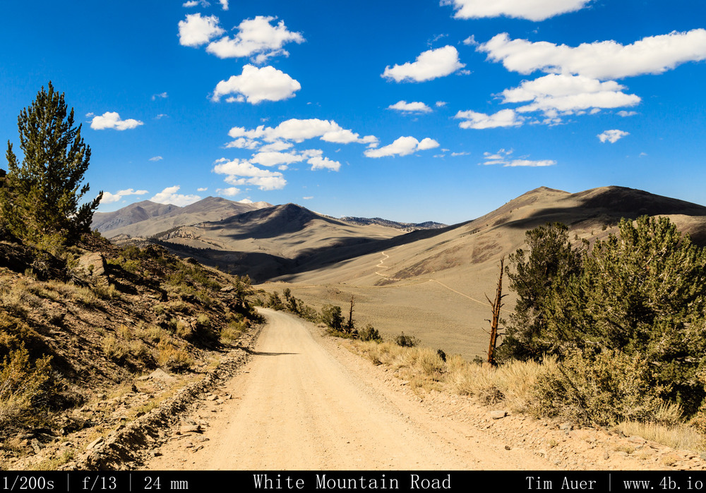
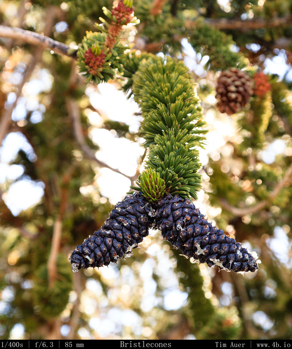
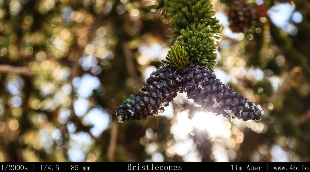
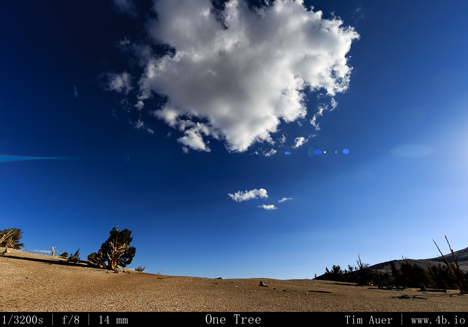
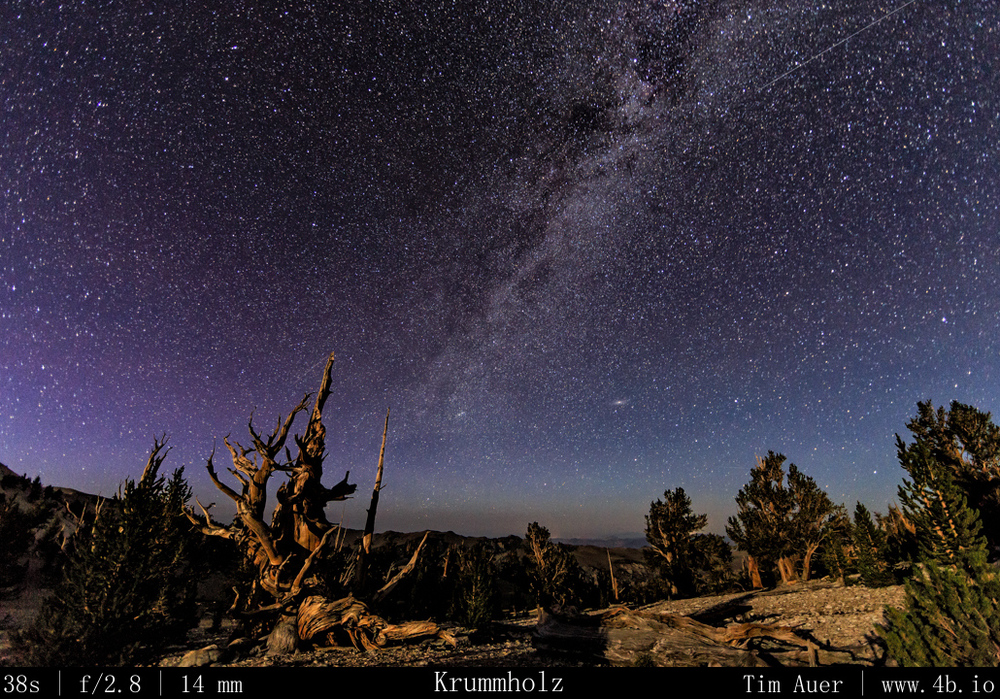
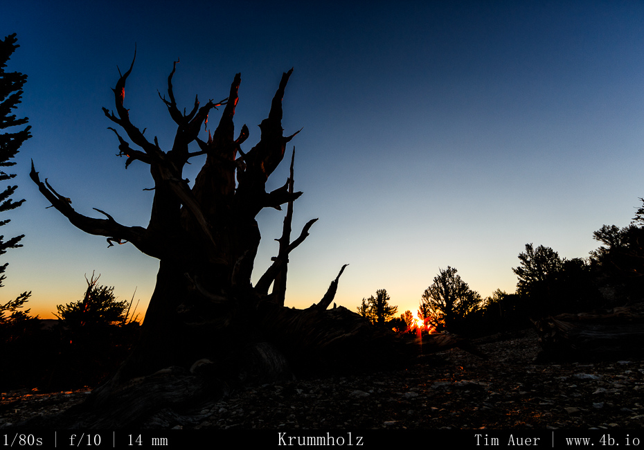
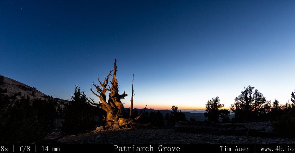
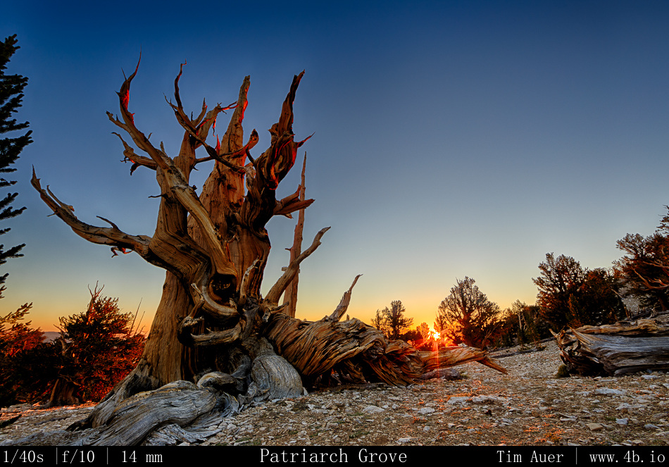
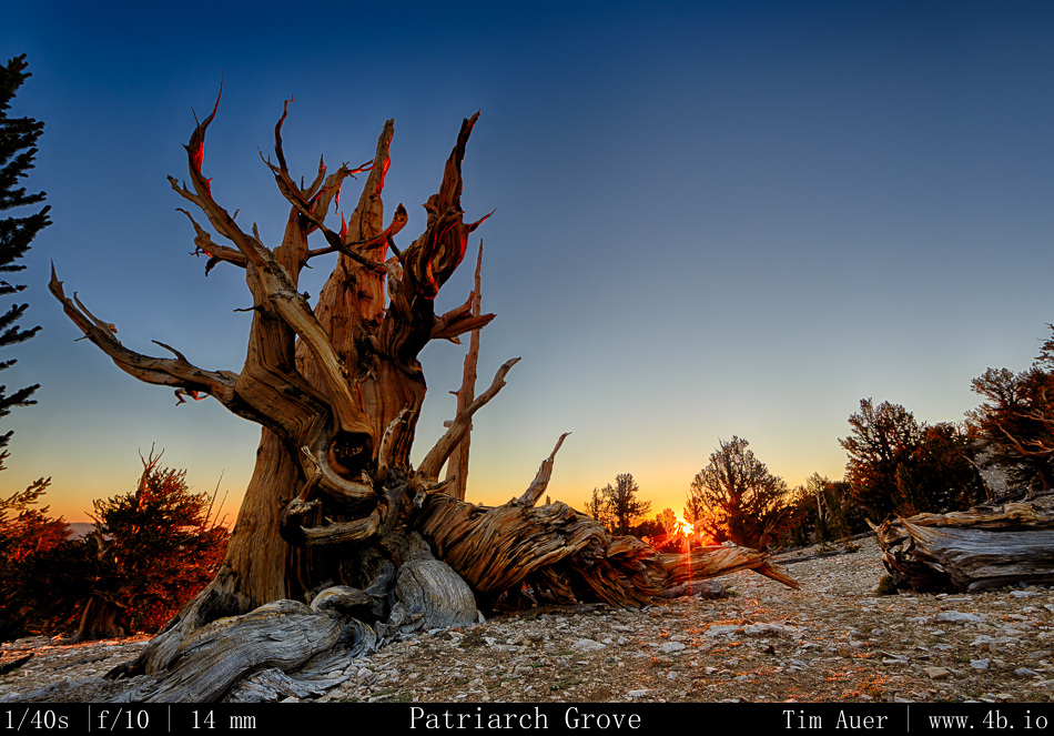
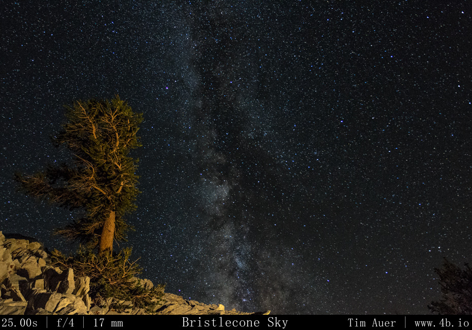
After breaking camp, I drove back to Lone Pine and had breakfast at the Alabama Hills Cafe. Moving at a relaxed pace this Sunday morning, I stalled in the cafe to recharge my batteries for as long as I could.  After spending some more time exploring Lone Pine and its surroundings, I gradually began to make my way up 395 to Big Pine, California (elevation 3,900 ft). I topped off my gas tank, turned right at the edge of town on to California Rt.168 (10 miles), then a left onto the very steep White Mountain Road.  After 13 miles of steady ascent, I was in the windswept lands of the ancient Bristlecone forests.  To be exact, I was at the more accessible Schullman Grove (elevation 10,100 ft). This is where the paved road ended, and the halfway point to my destination. Ascending even higher for 12 additional miles on very rough dirt road (it took 90 minutes), I finally reach my destination: The Patriarch Grove.  Nestled high in the White Mountains at an elevation well over 11,000 feet, the harsh landscape here looks more suited to be the moon than any place on green, hospitable earth.  Yet, the dusty mountain sides are teeming with life, in the form of the magnificent Bristlecone pine. Gnarled, beaten down, and broken, these trees thrive here in these conditions. Some have held on to life for more than 4000 years.  With so many unworldly features, this is the perfect place to connect the life on Earth to the rest of the nonliving universe.  It was exhilarating to have the privilege to photograph the starlit heavens raining with meteors here.
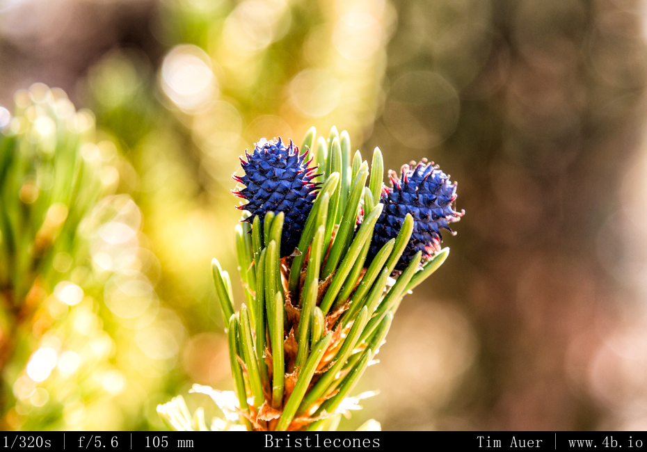
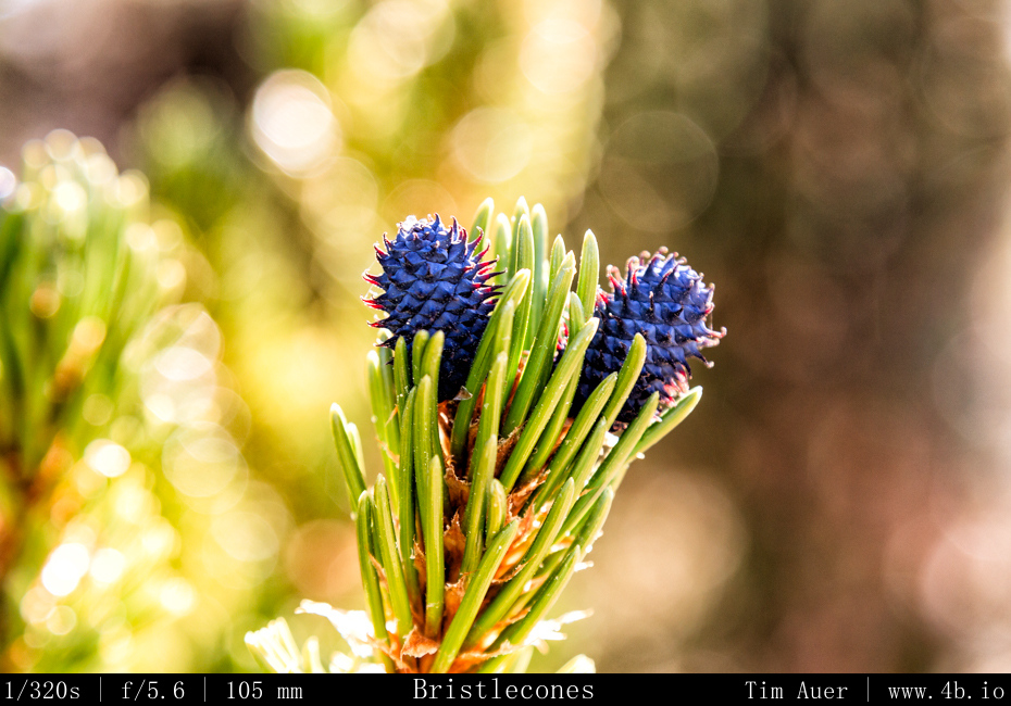
Bristlecones, with their bristles Bristlecones, with their bristles

After parking, I took a short hike through the grove in the warm afternoon sun, scouting my nighttime locations.  As I did so, a few people showed up and began to assemble telescopes and scout their positions.  By sundown, the people in the grove filtered down to those of us staying through the night, about 5 or 6 people in total. After spending the last two nights completely alone and isolated, it was nice to be able to talk with some other people, and hear their experiences.  Like the previous, this night was to be a 3-camera show too.  I decided to take a slightly different approach this evening.  The two ultra wide set-ups would sit stationary for hours, while the other camera would be my “roamer”.

I positioned the 6D+14mm in a northeasterly direction and the 60D+10mm in a westerly direction.  The 60D was positioned west because I particularly liked the composition, and no other reason. Besides, I felt like on the previous night there more hot fireballs in that piece of sky.  So I knew the Perseids would be everywhere.  The 1D+17mm was my roaming unit.  I would find a position for this camera, compose the shot, and let it sit for 15-90 minutes, depending on the conditions. At one point, this camera was on top of a peak over a half mile away from my two other cameras, which were in the same general area and only 200m apart.  For this night, I decided to use slightly shorter shutter speeds, while pushing the ISO with the goal of capturing even the most faint meteoric activity.  There was no time to rest for the next 7 or 8 hours, and when I did take a break to watch the sky, I realized the temperature had dropped well below freezing.  My Nalgene had even begun to freeze!  By 04:30, I was getting quite chilled, I decided to warm up in my car and to take a brief nap, knowing that I would need to wake by 05:30 to reconfigure my cameras and avoid overexposing the frames in the morning twilight.

Despite having a 30 degree bag, being fully dressed, and inside my car, I never was exactly comfortably warm.  It must have been colder than I realized, but I shouldn’t be surprised of this considering I was at elevation over 11,000 feet. Bleary eyed and mouth parched, I roused myself at 05:30.  It was still quite cold and dark and conditions like that always demand some additional effort to overcome, but I can proudly say I was up and out in less than a minute! I even have to photographs to prove it. One of my cameras looked the direction of the car.  To the naked eye, it was still very much dark out, but to a camera’s ISO 6400 sensor, it was rapidly beginning to overexpose.  As the sun approached the horizon, I needed to adjust each camera 4 additional times to accommodate the varying conditions.

  1. The first adjustment was to decrease the ISO setting, but maintain the shutter speed. The intervalometers were still in full control.
  2. As twilight gained hold on the sky, the second adjustment was to decrease the shutter speed and aperture.  I did this by changing from “BULB” to “Av”, and resetting the intervalometer to snap a photo every 60s.
  3. The third adjustment was to enable Auto-focus on the lens.  The ambient light was sufficient enough, that I need not depend on my manual focused composition.
  4. The fourth adjustment consisted of enabling the AEB (Auto Exposure Bracketing).  This was done to accommodate the high contast and widening dynamic range of a scene that contains the rising sun.
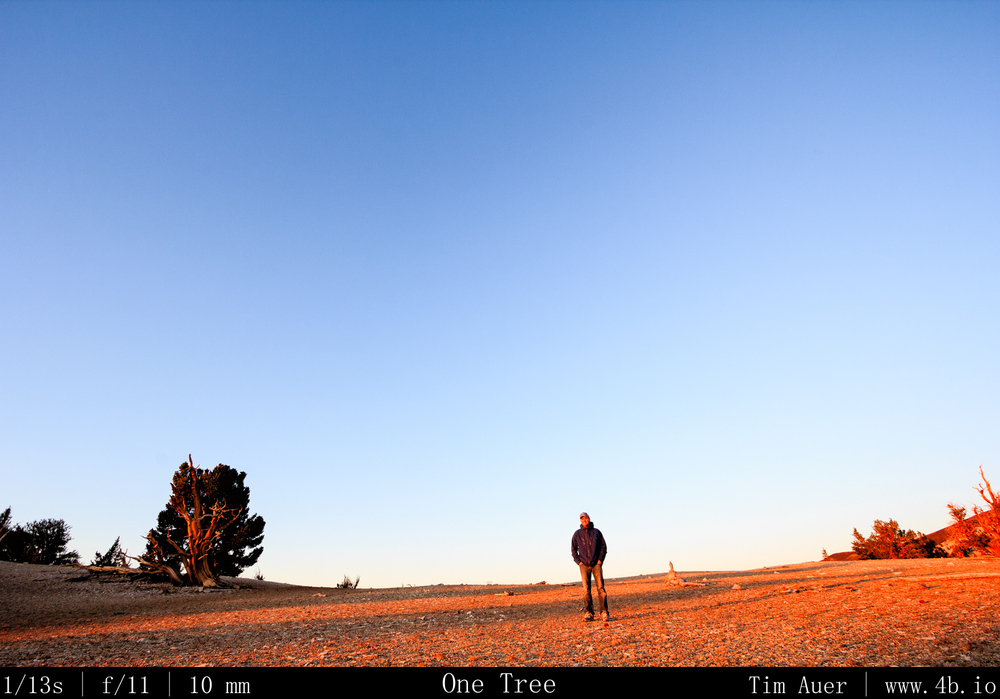
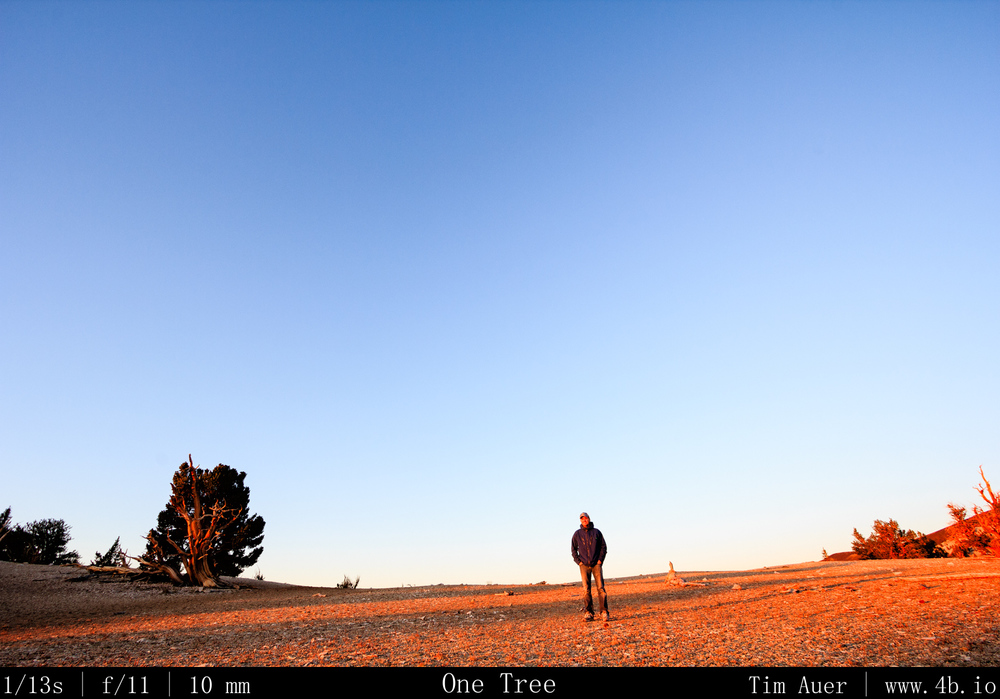
Self Self “portrait”, morning light
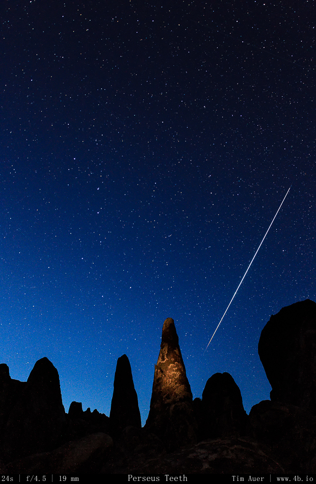
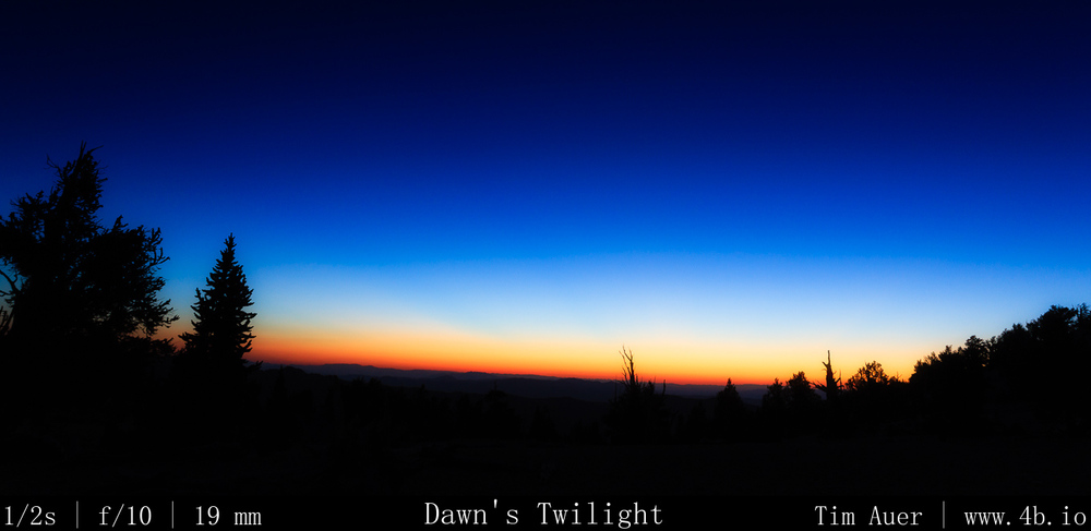
The quality of light at sunrise here in the White Mountains was superior.  It was a rich, golden red light that rapidly raced along the mountain side, reflecting off the white dolomite, but it didn’t last long.  As the sun crept higher above the horizon, this golden red light became orange, then yellow, and then a flat white…

Thus signalling the end of my Perseid weekend…and the start of my 8 hour drive back to Silicon Valley for work.

New gear utilized:

  • SureFire G2 Nitrolon flashlight incandescent – Top quality, warm light. The beam of light is very narrow and has incredible throw. Therefore it can easily over expose if the earthly objects are to near the camera.  To prevent this, I used the white plastic top of a water jug as a diffuser. I used this light for all my light painting purposes.
  • Streamlight 88031 Protac Tactical Flashlight 2L – Great as a flashlight..  Beam is not as narrow as the SureFire but still throws light very far. The LED light was to cool/blue for the purposes of lightpainting.
  • Canon 14mm F/2.8L (from LensRentals) – Will be looking to make this purchase soon…
  • Canon 17-40mm F/4L
  • BH-40 Ballhead

2013 Perseids

Locations: Mono Lake, Alabama Hills, Patriarch Grove Bristlecone Pine.

Here are a couple of images I took over the weekend.  Now I must go to bed because I haven’t slept more than an hour or two since Thursday…

Part 6 Dismal Side: July 6 Red Mountain Petroglyphs

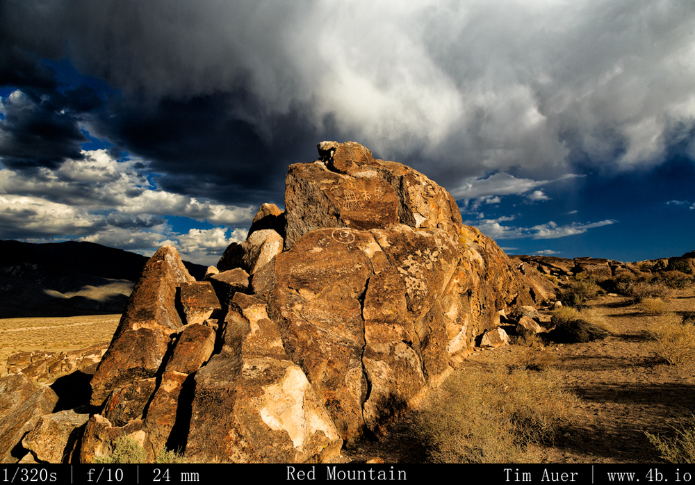
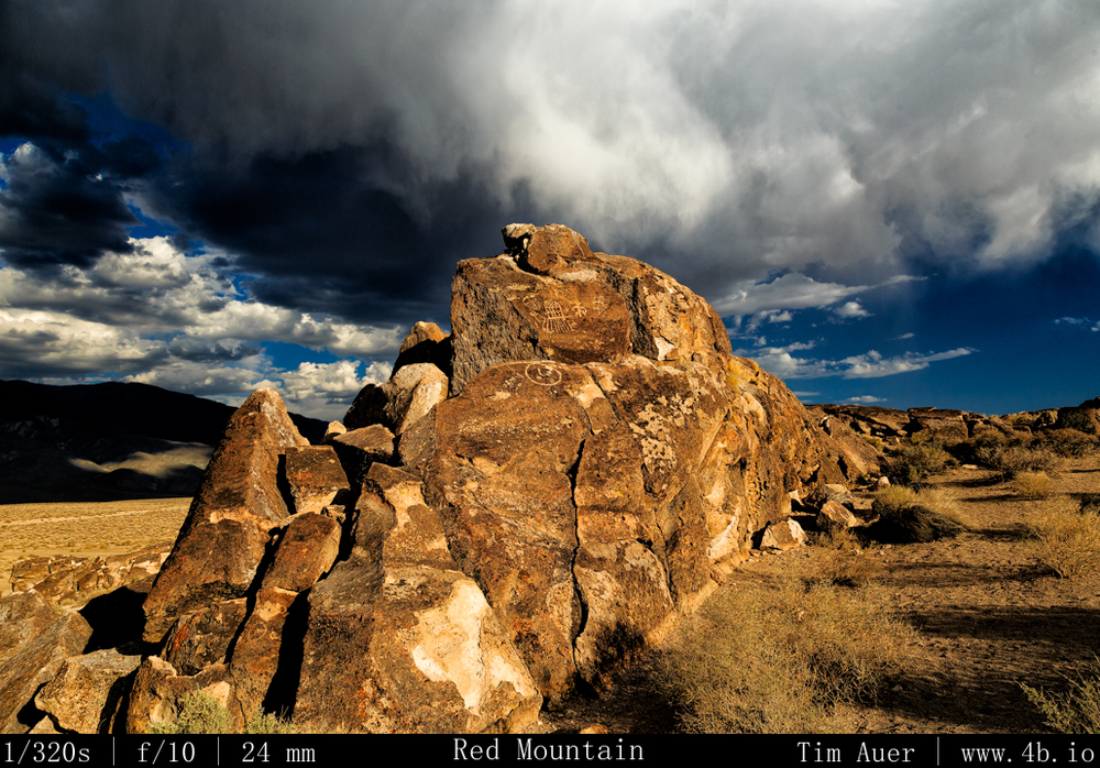
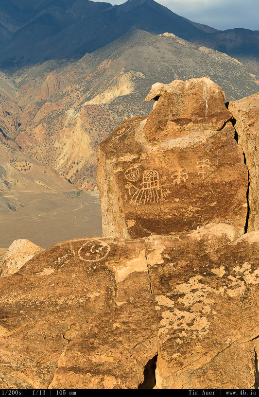
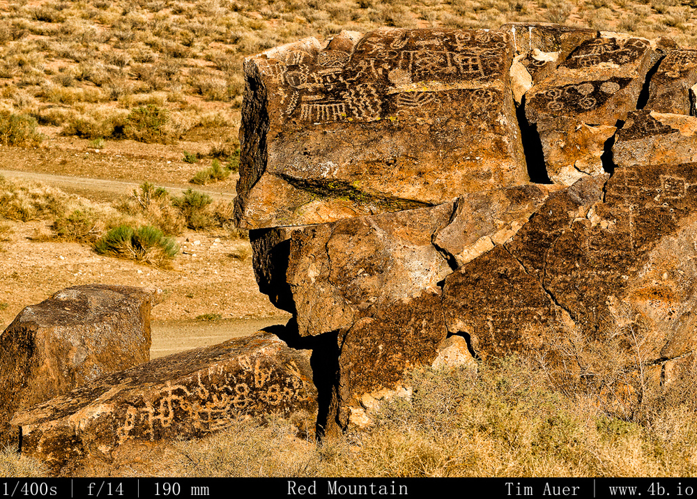
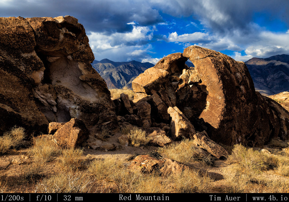
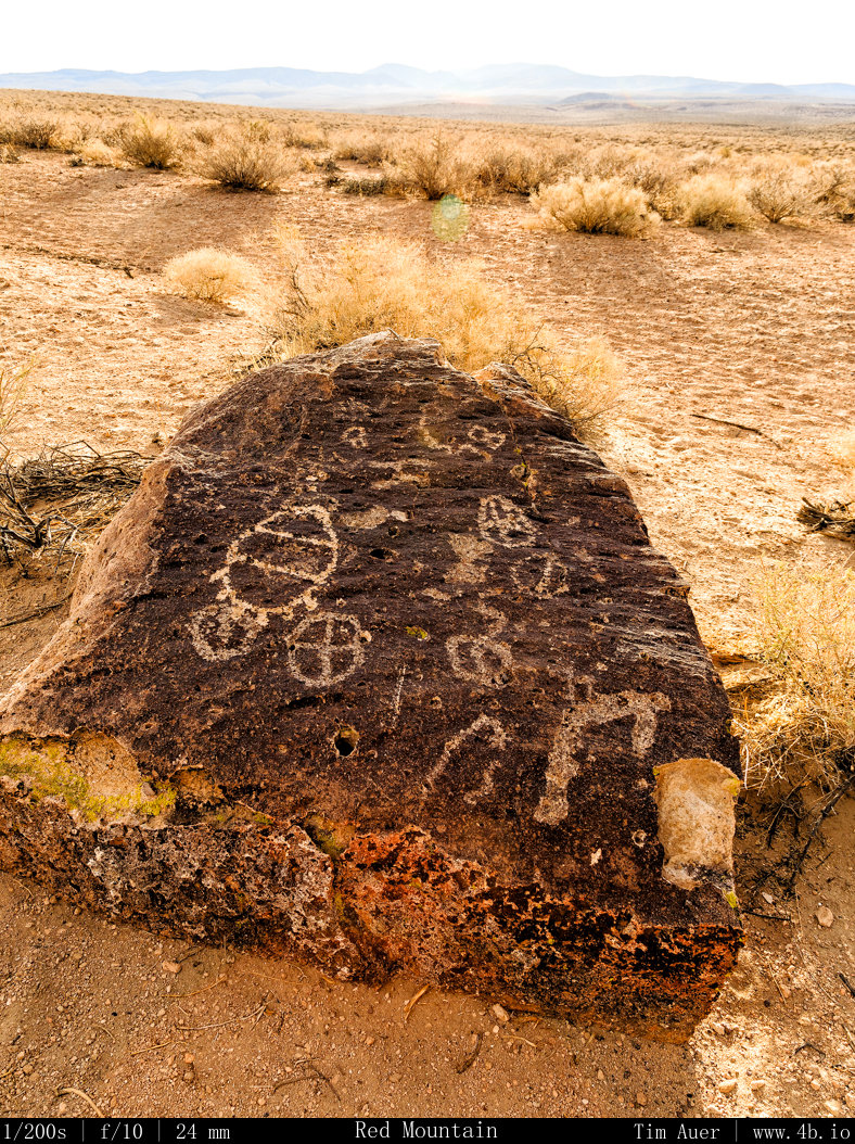
In the heart of the Volcanic Tablelands near Bishop, California are the Red Mountain Fish Slough Petroglyphs, and it is probably one of the more fascinating places I have ever been.

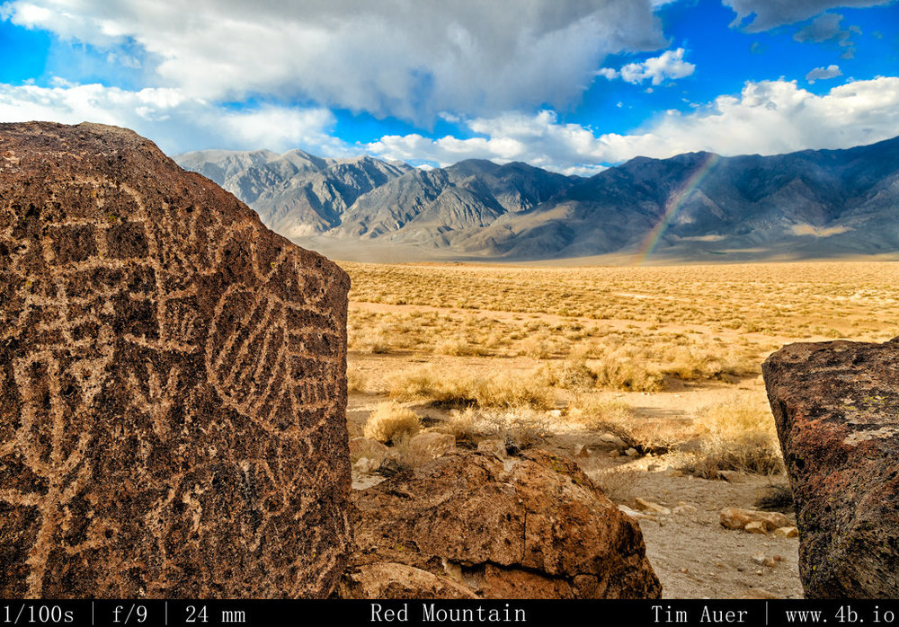
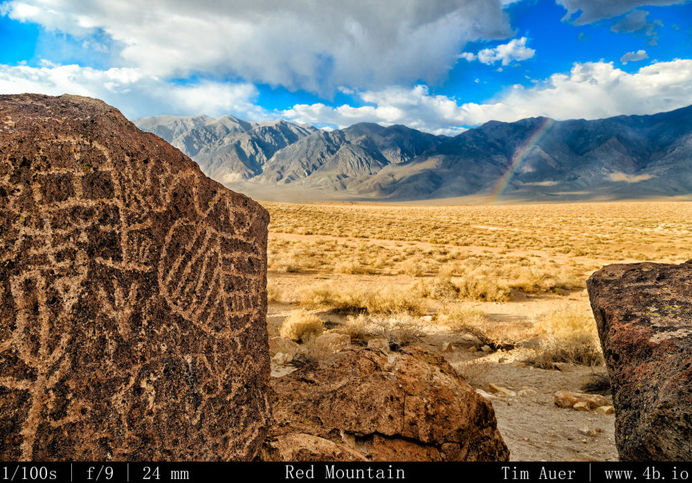
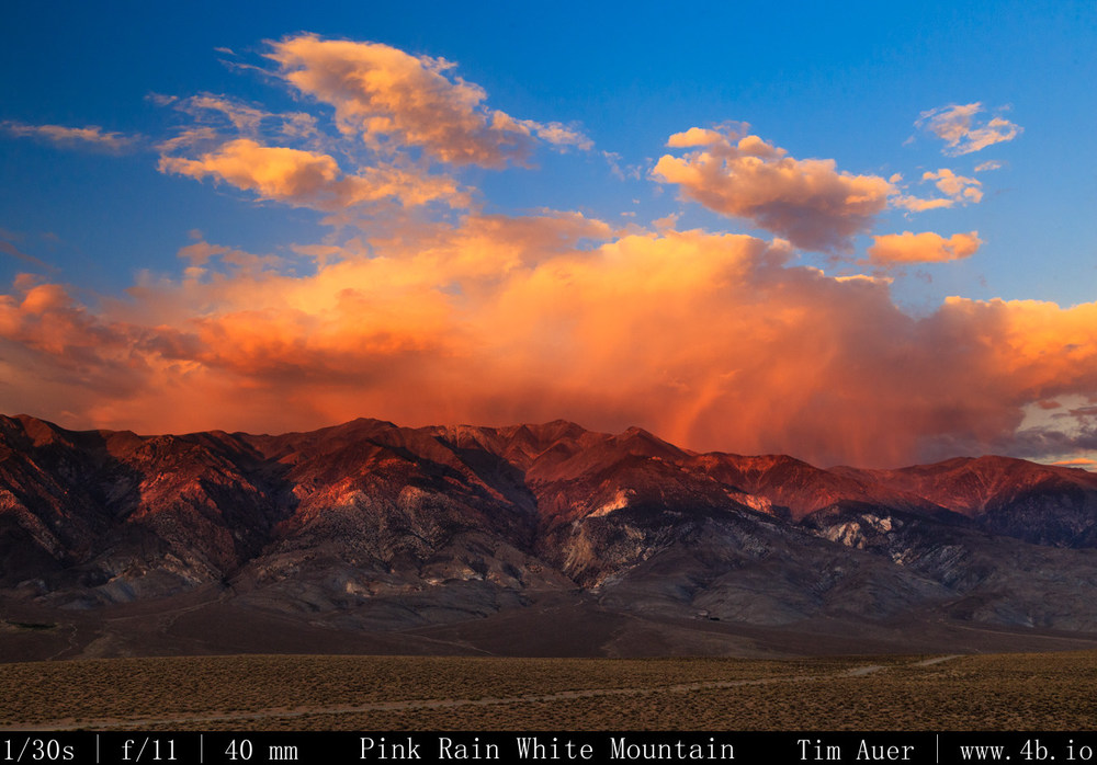
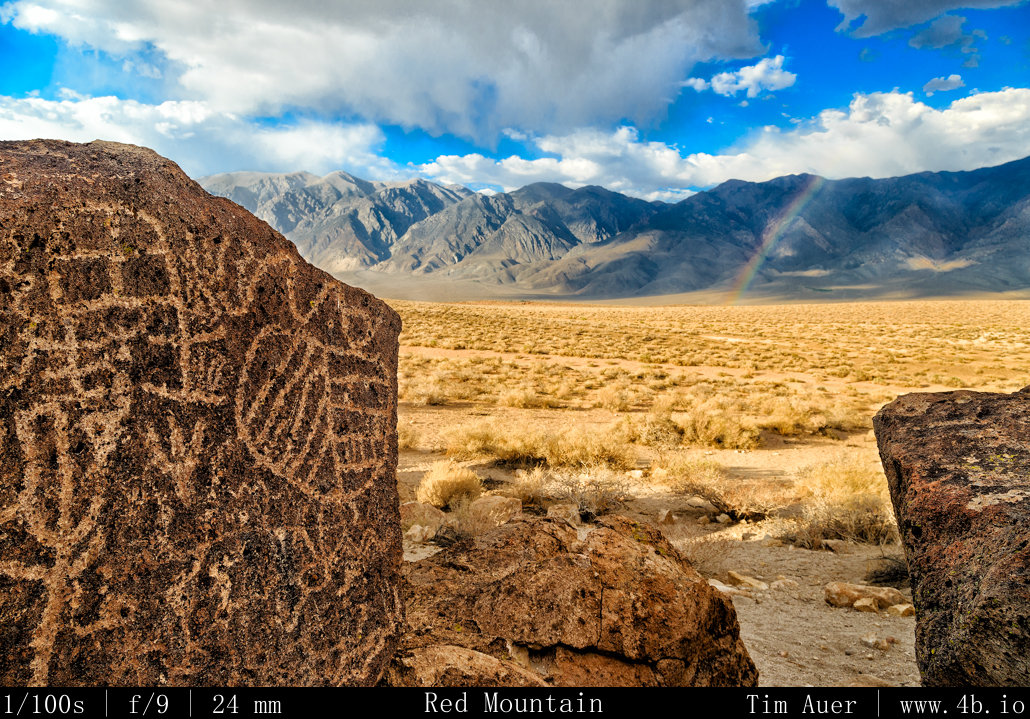
The Owens Valley was part of a trade route for the Paiute Indians, connecting what is now Northern California and the American Southwest.  This area has been inhabited by the ancestors of modern Paiute for almost 9,000 years and the Fish Slough area rock carvings date back 5000 years.  In my effort to understand the significance of this site, I thought it best to relate it to my European influenced perspective.  I likened the Red Mountain rock formation having a role similar for the Paiutes as a temple or cathedral did for early Europeans.  I can’t help but be amazed at the setting of such a place like Red Mountain.  And it was this that made me draw parallels between it and the famous religious sites and cathedrals in Europe.  This place is different on one level though. It seems that many of the ancient locations of the Abrahamic religions have been lost, developed over, or redeveloped. Disrupting the string of time.  Diminishing its unadulterated age.  Red Mountain is unchanged. It is fascinating to think about how long people have worshiped at this single location, and that the landscape appears today much like it did when the first humans walked past this outcropping of stone 9,000 years ago. Aside for the occasional farm truck stirring up dust or airplane overhead, there is hardly any evidence of the modern world here.  This place has remained largely unchanged for thousands of years, with new petroglyphs being the only perceivable variation over the centuries.  Thousands of years before any European cathedral was built, and even before the pyramids….the inhabitants of pre-historic America began carving art into this outcropping of granite and Bishop Tuff.  As is often the case, the experience here transcends what is captured in the photos. But to give a rough idea of how spectacular the setting of this place was, the following photo is the view I had during my visit.  At my back is what was likely considered the main “altar”, and looking straight ahead were the dramatically lit White Mountains draped in a rainbow. 

View from
View from “Altar”

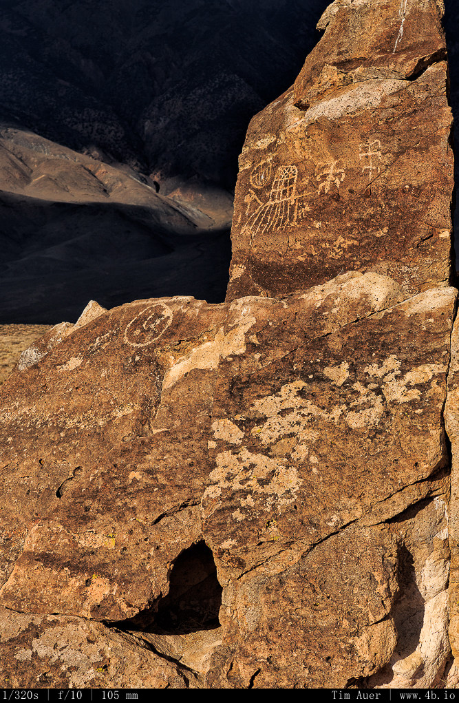
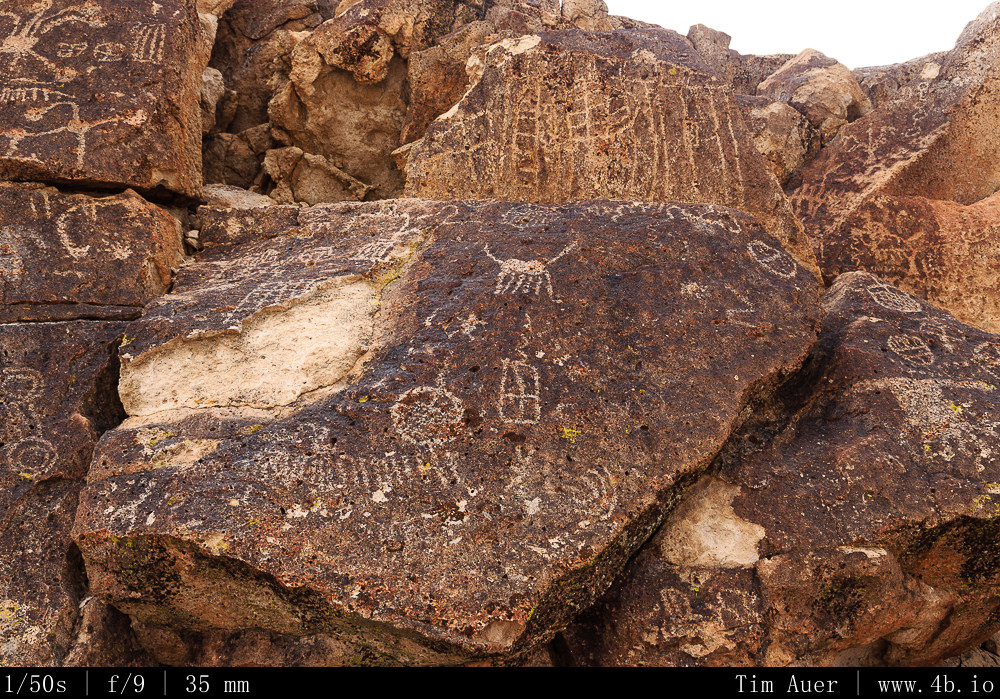
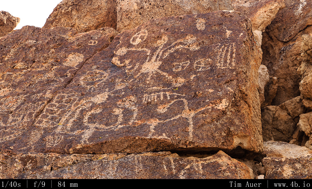
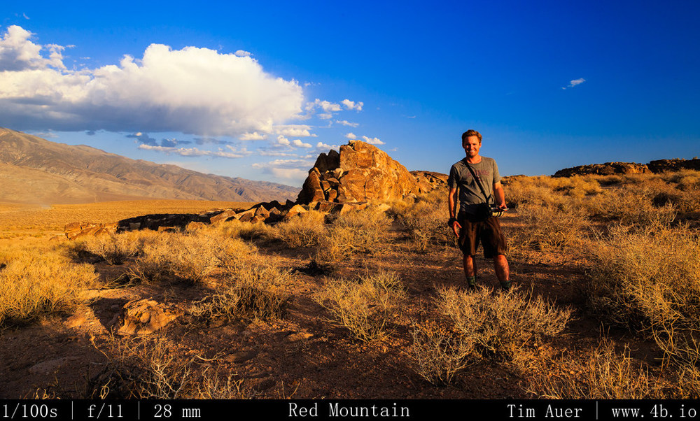
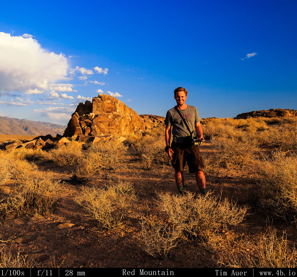
When I arrived at Red Mountain, I was completely alone.  After about an hour to myself, a family of four drove up (husband, wife and son and daughter).  The father was native American/Indian descent (Arizona), and he was very passionate about his opportunity to visit this site.  During our conversation, he explained the cultural significance of the site, interpretations of many of the carvings, and also how this stone can be sold for a lot of money on the blackmarket in Europe.  Really disgusting that people cut 5000 year old artifacts for this own selfish motivations.  If you look closely at some of the photos attached, it is possible to see where people have vandalized the petroglyphs, by trying to “cut” them out for blackmarket purposes.   

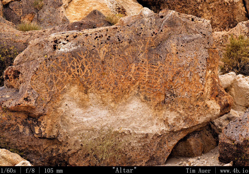
Specifically, in the image titled “Altar“, you can see some of the defaced stone. This “Altar”, mentioned above in the context of the rainbow view, was the centerpiece of the rock formation, and appeared to be positioned like an altar in the Christian church sense.  This was where the shaman or priest would lead ceremonies. The carvings at the Altar is also one of the older carvings at this site and its design was particularly meaningful. The entire carving was completely connected.  Let me explain: Most of the other figures at Red Mountain were discrete, individual carvings.  These altar carvings were completely connected, top to bottom, left to right. This continuity was symbolic for the Indians who wanted to connect the ground to the heavens.  Thereby, providing a channel for their spirits to flow, connecting them with their ancestors. This is also why the top and bottom of these carvings have points, or arrows, directed at the ground or up to the sky. 

I learned all of this while talking to this guy.  It was really nice that he was there to explain it to me. His son, probably a 5 year old, was finding rabbit bones and looking for rattlesnakes.  His daughter, probably 8 years old, kept asking her dad if they could leave because the hotel swimming pool closed at 8PM.  So if they left now, they could get an hour and half of swimming time. 

Photography
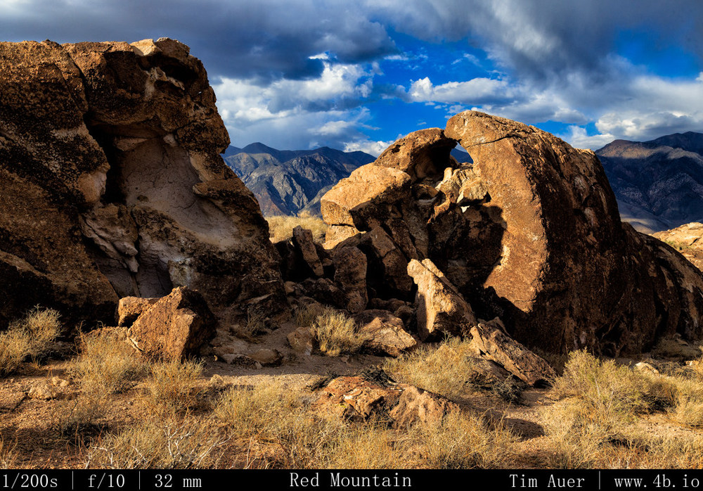
Due to the high Sierras due west, the sun sets very fast at this location.  There were a few minutes of quality, evening light able to bring out the brilliant red granite color, but before long the sun was behind the mountains.  However, due East are the White Mountains, also 14,000 footers, and due to their height, they are able to hold on much longer to the sunlight.  Once the Red Mountain was shroud in shadow of the Sierra Nevadas, I pointed my lenses in the eastern direction as the canyons between the White Mountains’ peaks transformed into vibrant red colors.  The light here is only useful in photographic terms at sunrise and near sunset, and the lack of shade would let it get quite hot and miserable mid day in summer. This place is best visited when the light is gentle, and temperature pleasant enough to let you comfortably contemplate the rich human history of the site. 
For more information: Visit the Bureau of Land Management Field Office in Bishop
http://www.blm.gov/ca/st/en/fo/bishop/archeology.html

Ich bin geschäftlich in München….

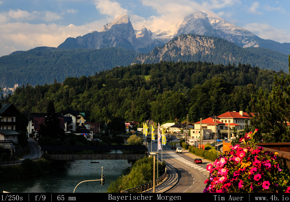
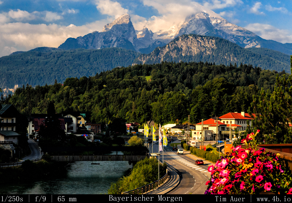
Ich bin geschäftlich in München….I am working in Munich for little bit, but will be back soon to finish my Eastern Sierra Report.  Until then I am photographing the Bavarian Alps when I don’t have to work… 

Garmisch-Partenkirchen, Chiemsee, Königssee, Berchtesgaden

View from the balcony in my room at Hotel Bavaria in Berchtesgaden. http://www.hotelbavaria.net/

Part 4 Dismal Side: July 4/5, night/sunrise- Milky Way+Mono Lake

July Fourth Weekend Photo Road Trip to the Eastern Sierra Nevada: The Dismal Side of the Sierras, Part 4

Mono Lake, Milky Way, Sunrise 

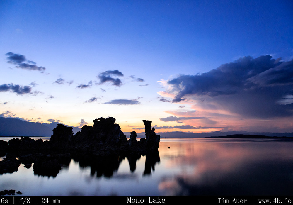
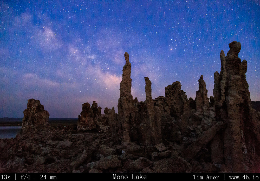
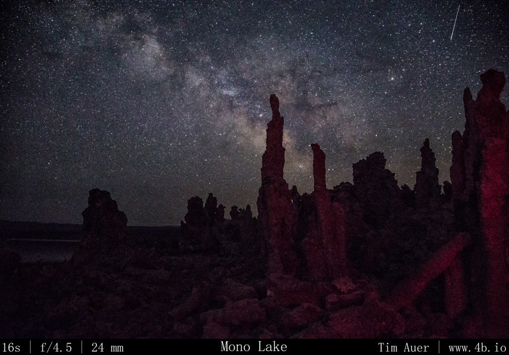
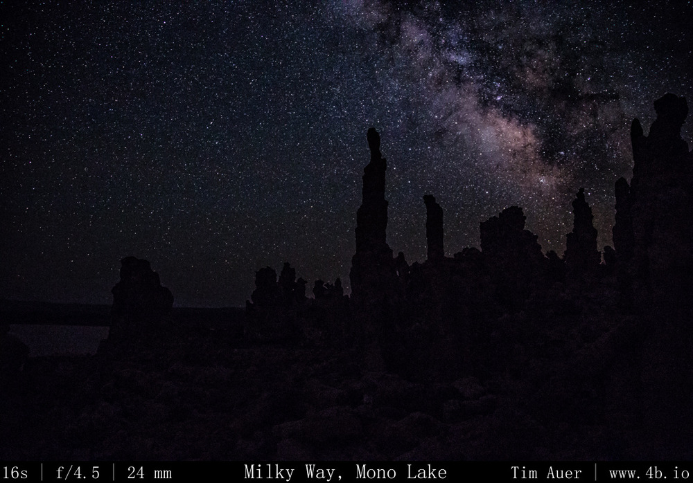
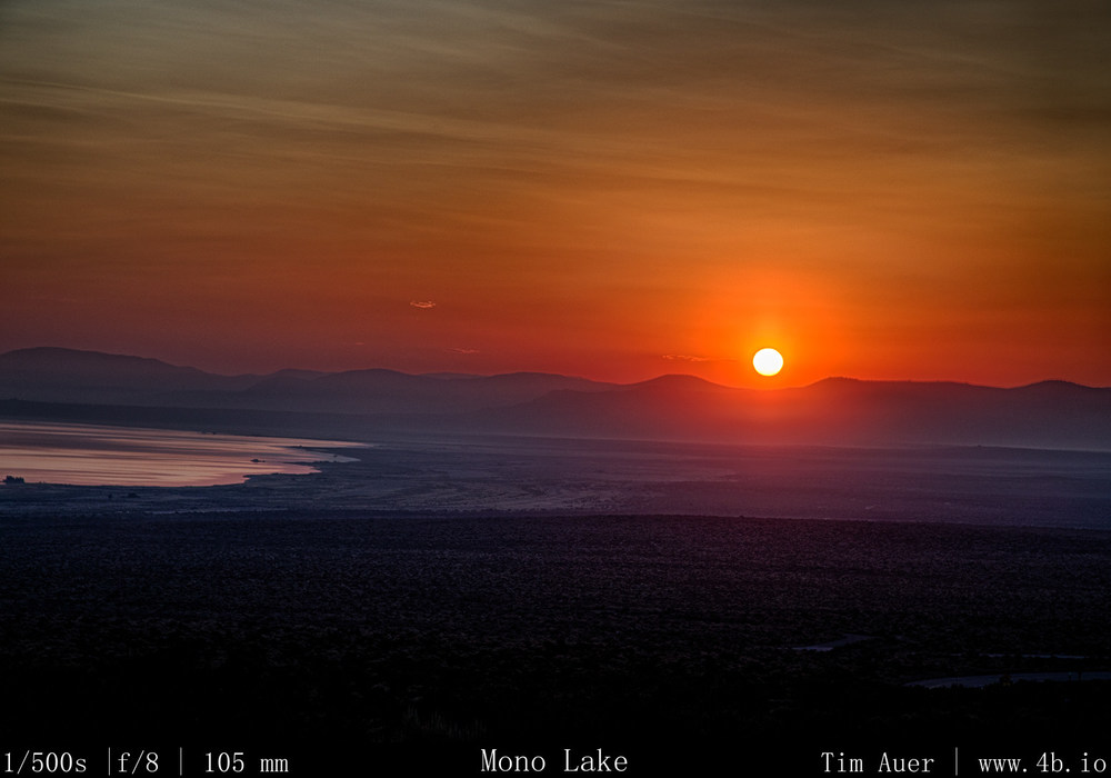
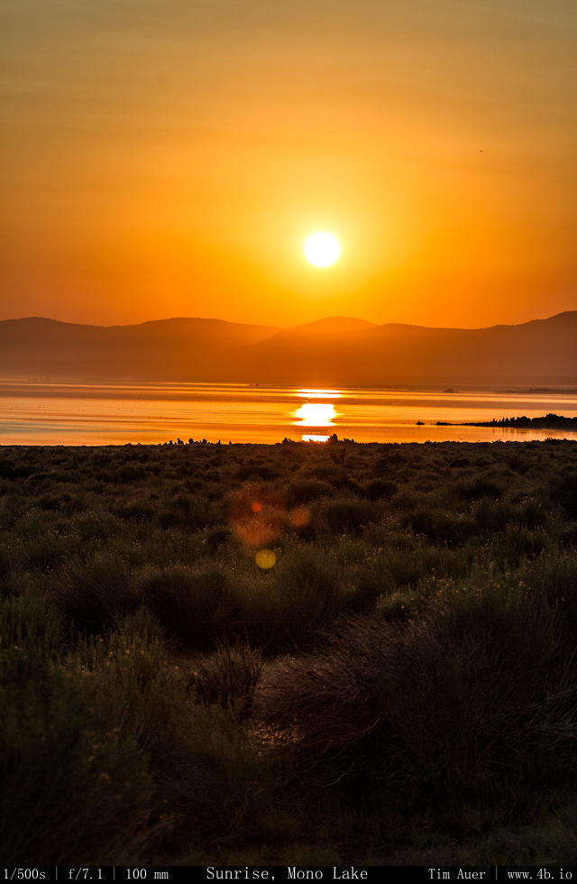
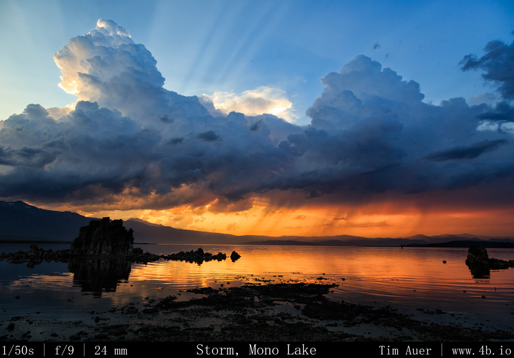
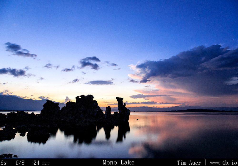
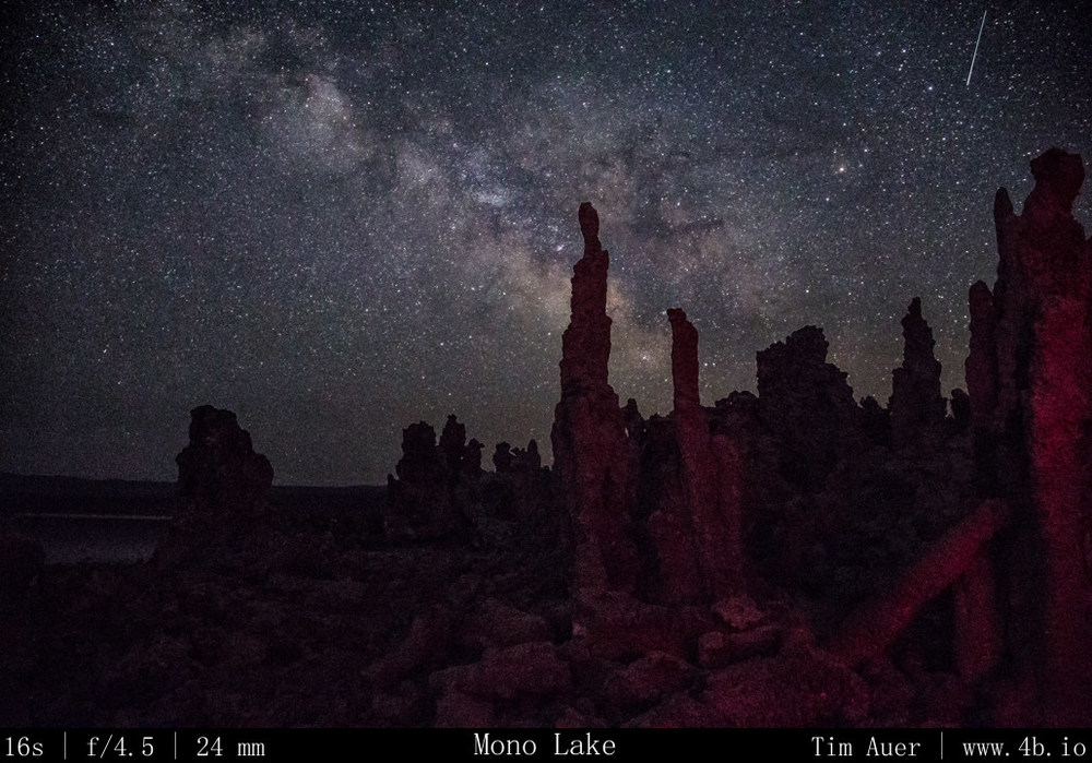
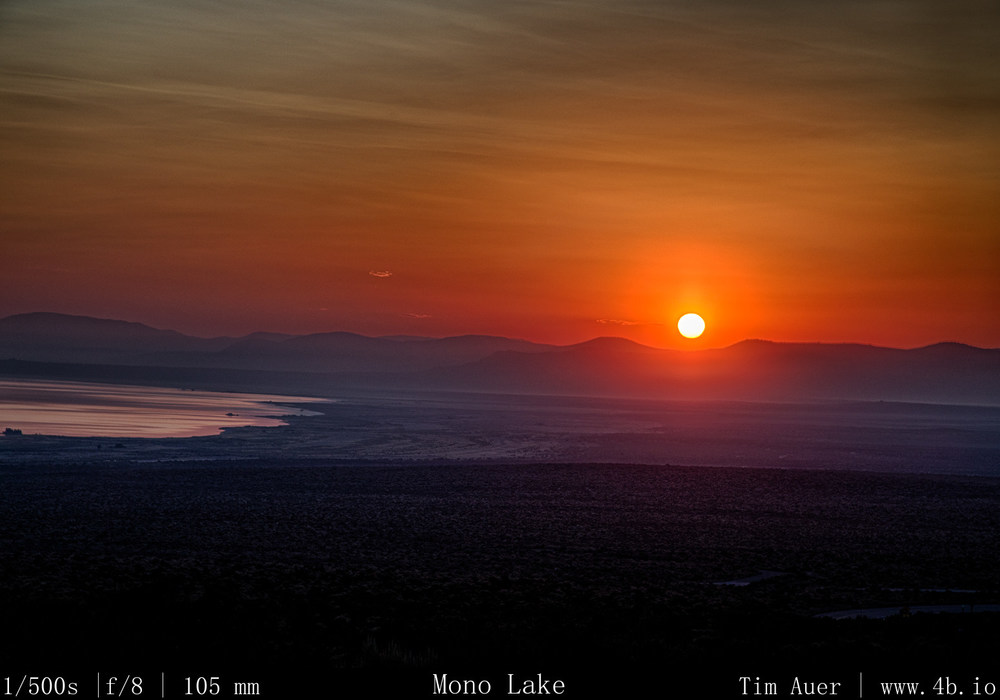
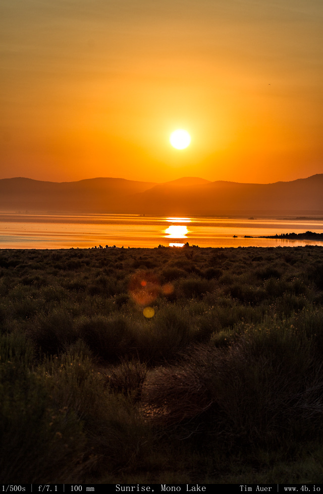
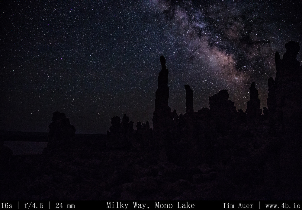
After finishing up at Bodie, I made my way back towards Lee Vining and Mono Lake for the evening astrophotography session.  As I ate dinner at “Bodie Mike’s” in Lee Vining, I received several imminent flash flood warnings for Mono Lake.  I decided to scrap my original plan: an all night time lapse while sleeping under the stars next to my camera, and go for something a bit less ambitious.  Fortunately, the storms cleared in time for sunset.  I was rewarded with a great sequence of sunset images and stayed out til about 01:00 capturing the Milky Way with tufa in the foreground.  Throughout the night I heard coyotes howling and yipping, owls hooting, and bats echo-locating. 
Dark skies abound.  

Photography:
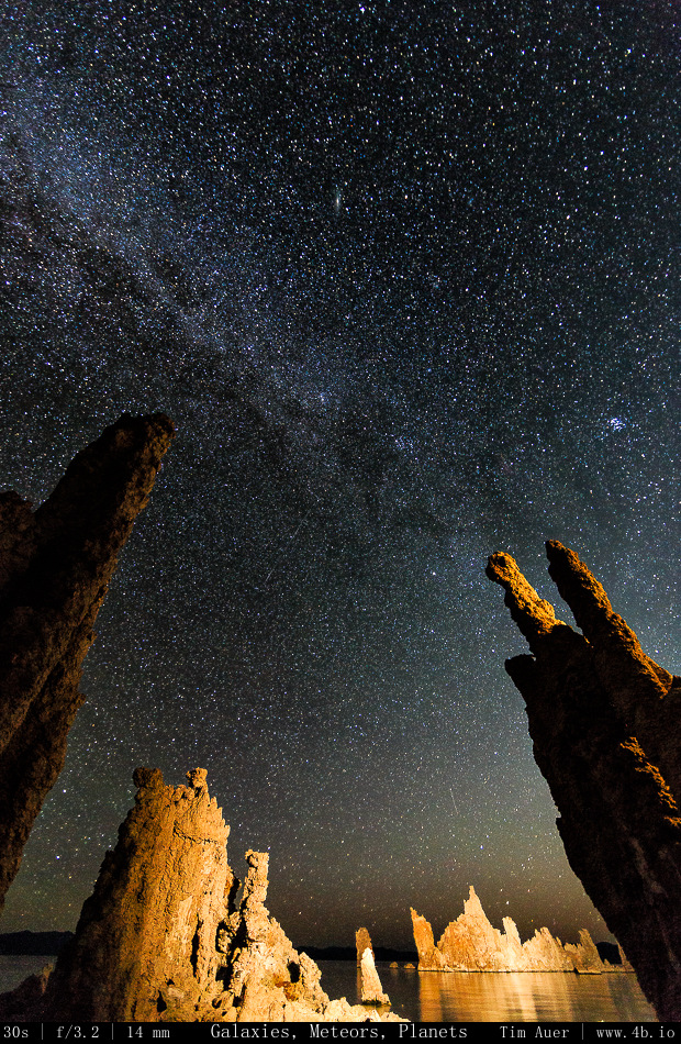
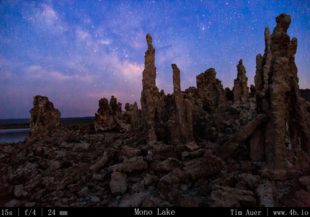
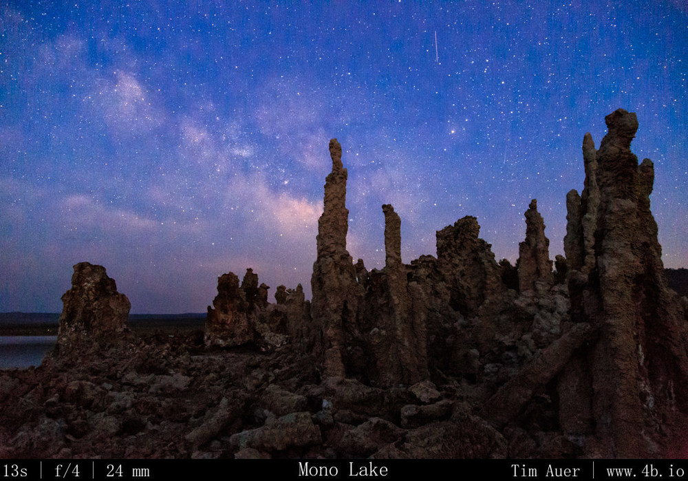
Milky Way captured using wide aperture (f/4.0, f/4.5) , high ISO, and the shutter speed defined, at the maximum, by the “rule of 600”.  Before sunset I set up the 6D at 24mm on tripod facing north west for time lapse footage.  The cloud formations were dynamic and interesting.  You could tell that while the sun was up, the storms were still being fueled, but as the sun dropped, the fluffy, anvil shaped Cumulonimbus clouds collapsed in on itself in a pink display.

Once the color was drained from the western sky, I recomposed the 6D for the Milky Way.  I did this during civil twilight because I wanted there to be enough ambient light left to maintain the auto-focus capability for the entire scene (fore and back).  This helped me to avoid wasting valuable minutes incrementally tweaking the focus manually in the dark.  Facing SSE (direction of Milky Way’s rise) and including some Tufa in the foreground, I focused camera on my scene, switched lens to manual focus, and began the time lapse of Milky Way.  At first I was in Aperture Priority, but when the shutter speeds began to increase to over 15s in the darker conditions, I switched from Aperture Priority to Bulb Mode.  I set my intervalometer to hold the shutter open for 20s each exposure, and upped the ISO mode.  Now in steady-state, I left the camera do its thing, checking it from time using the 6D’s Wifi image viewer features on my phone. 
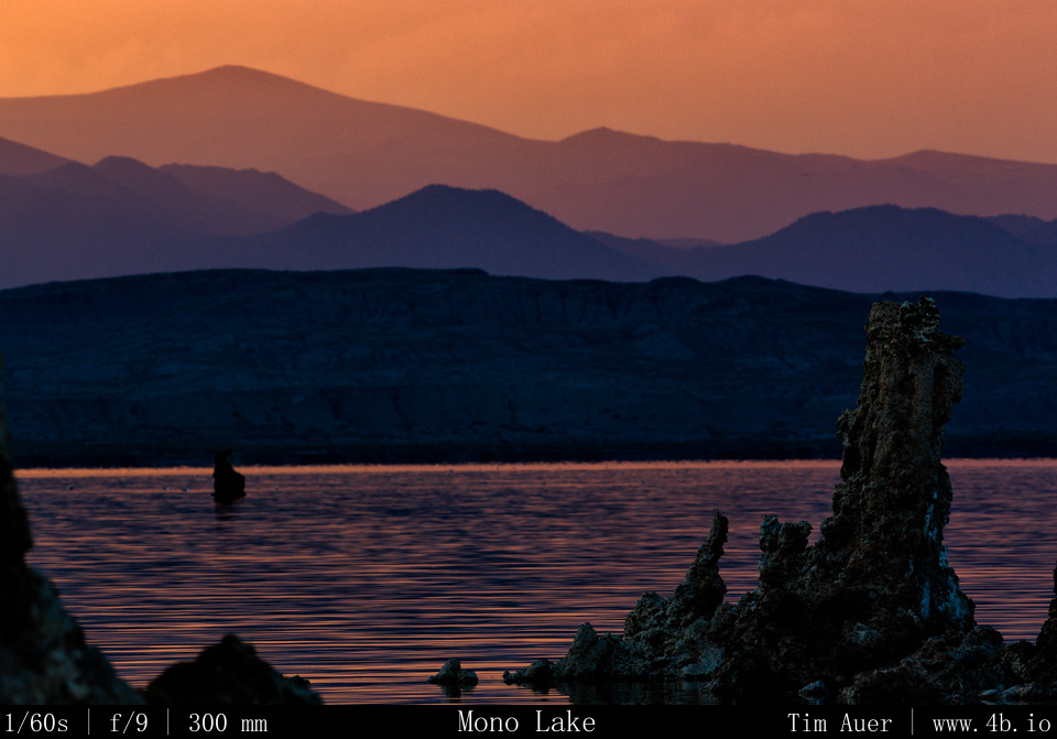
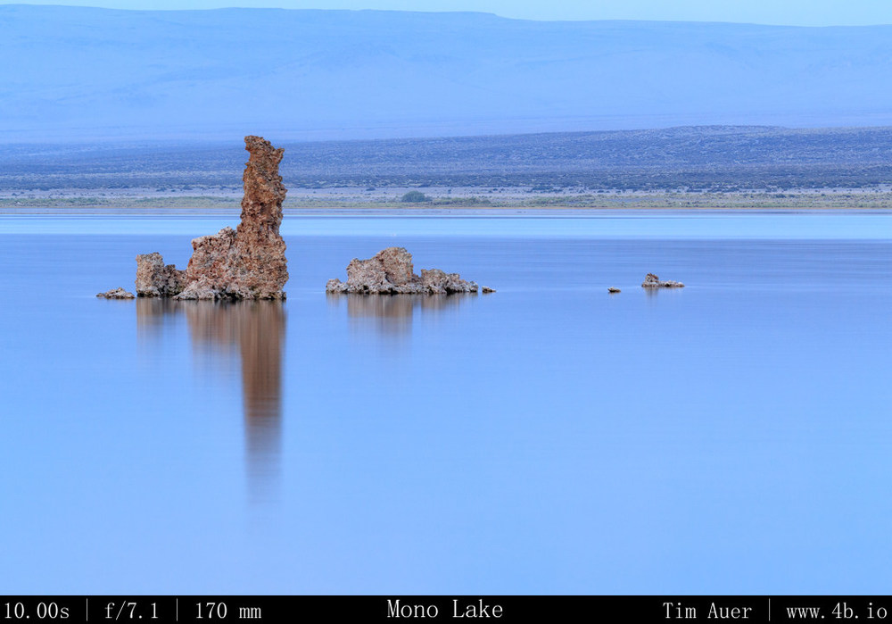
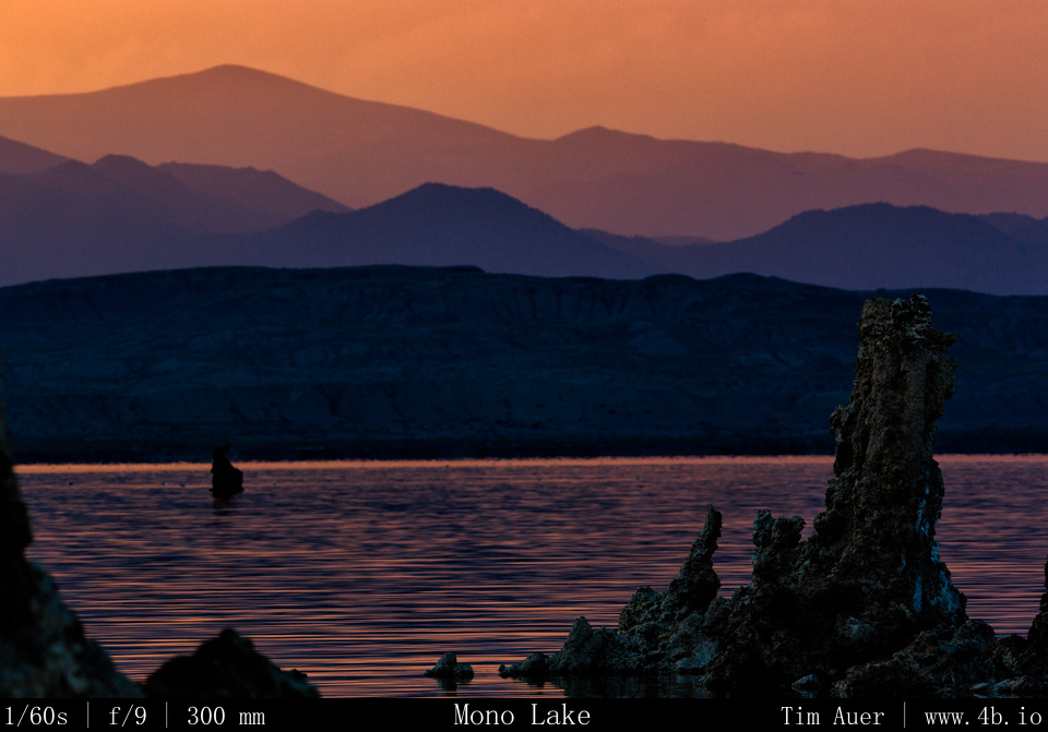
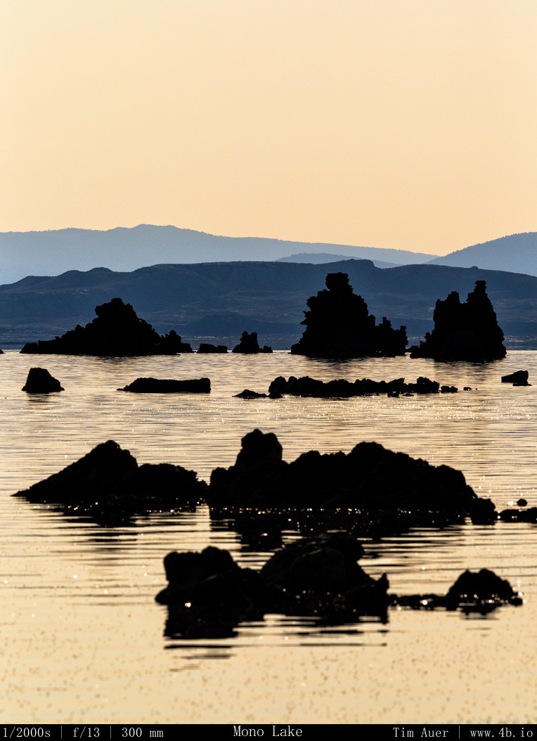
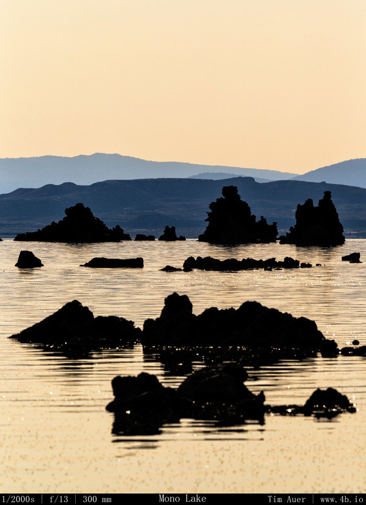
My second camera , the 1D, had a telephoto lens on it.  I used this for isolation shots of specific tufa outcroppings and compression of the lake with mountains and scenery across the lake.  

Part 3 Dismal Side: July 4, PM- Scouting Tufa and Ghost Town

July Fourth Weekend Photo Road Trip to the Eastern Sierra Nevada: The Dismal Side of the Sierras, Part 3.

Mono Lake, Bodie State Historic Park

 Thursday, July 4, 2013
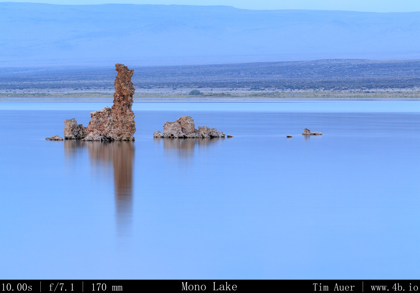
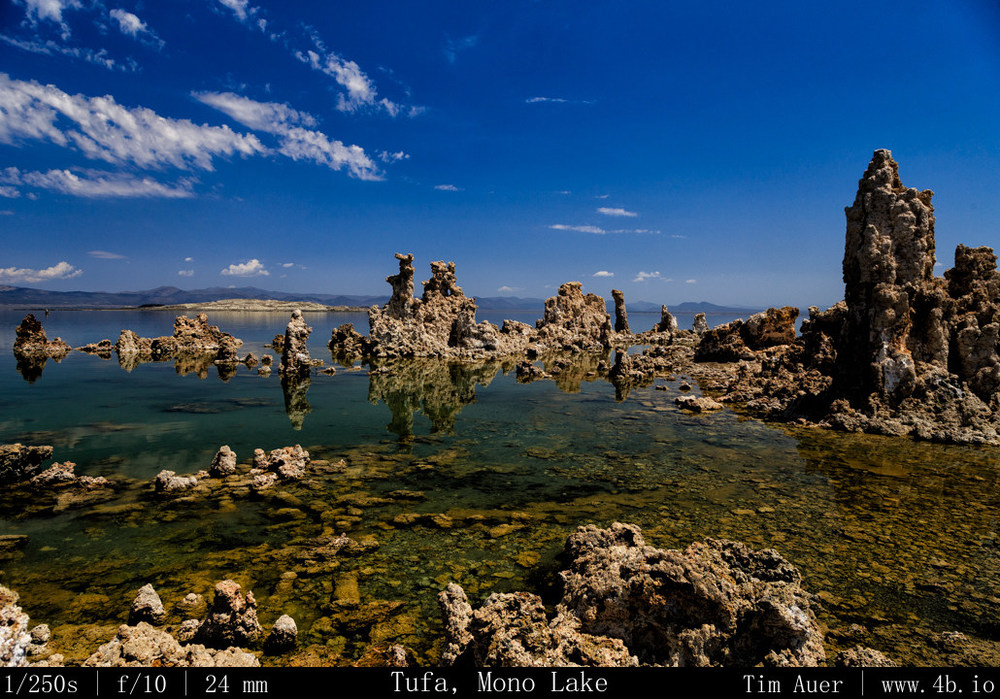
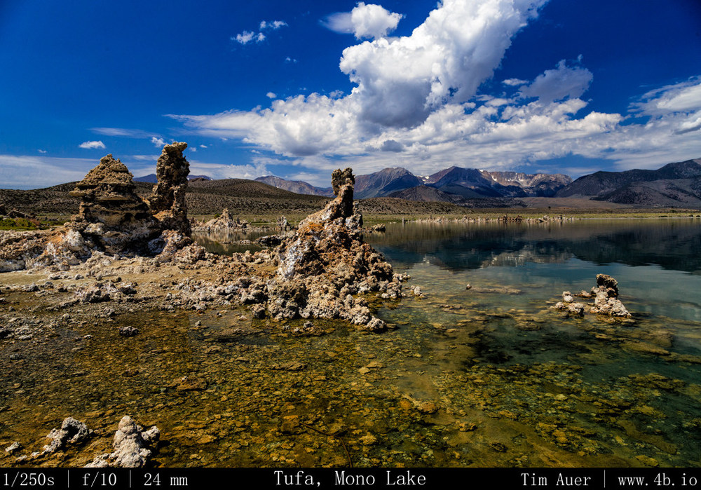
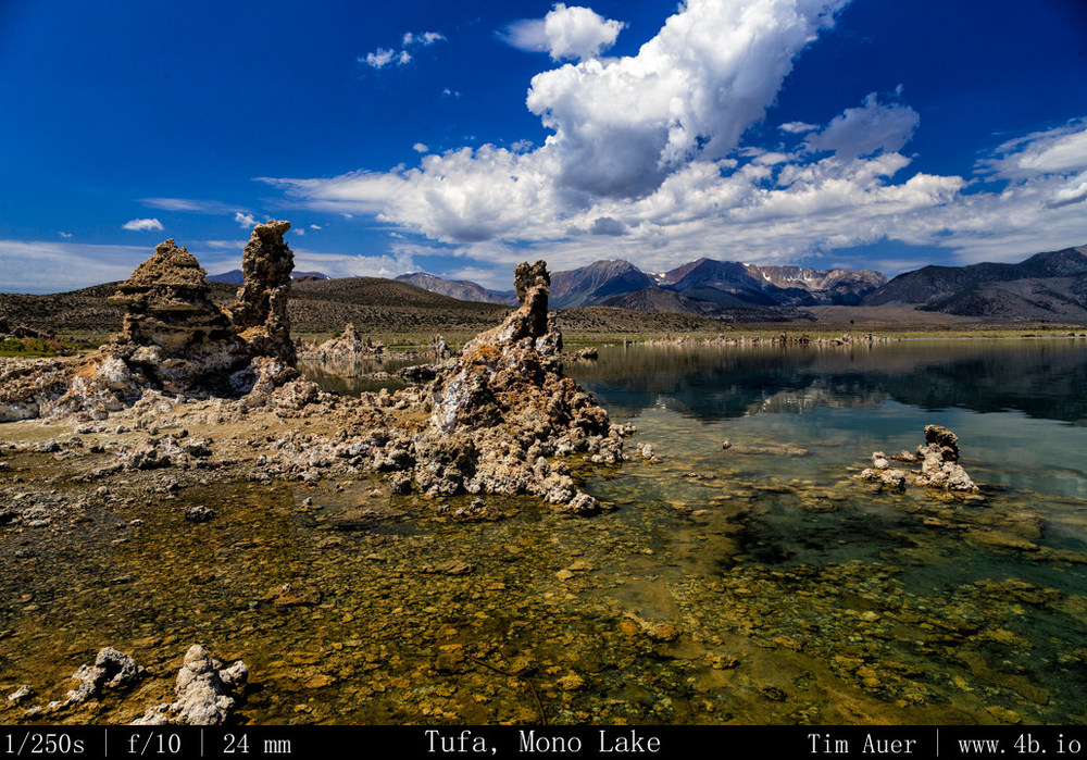
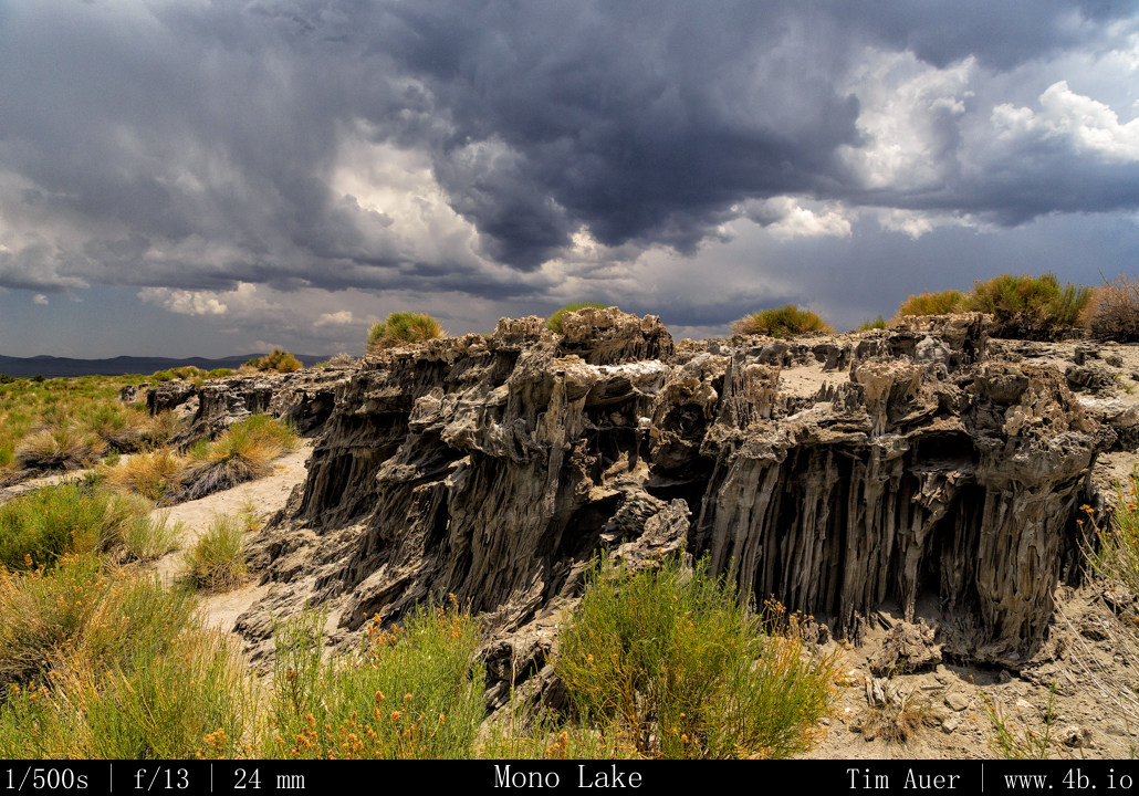
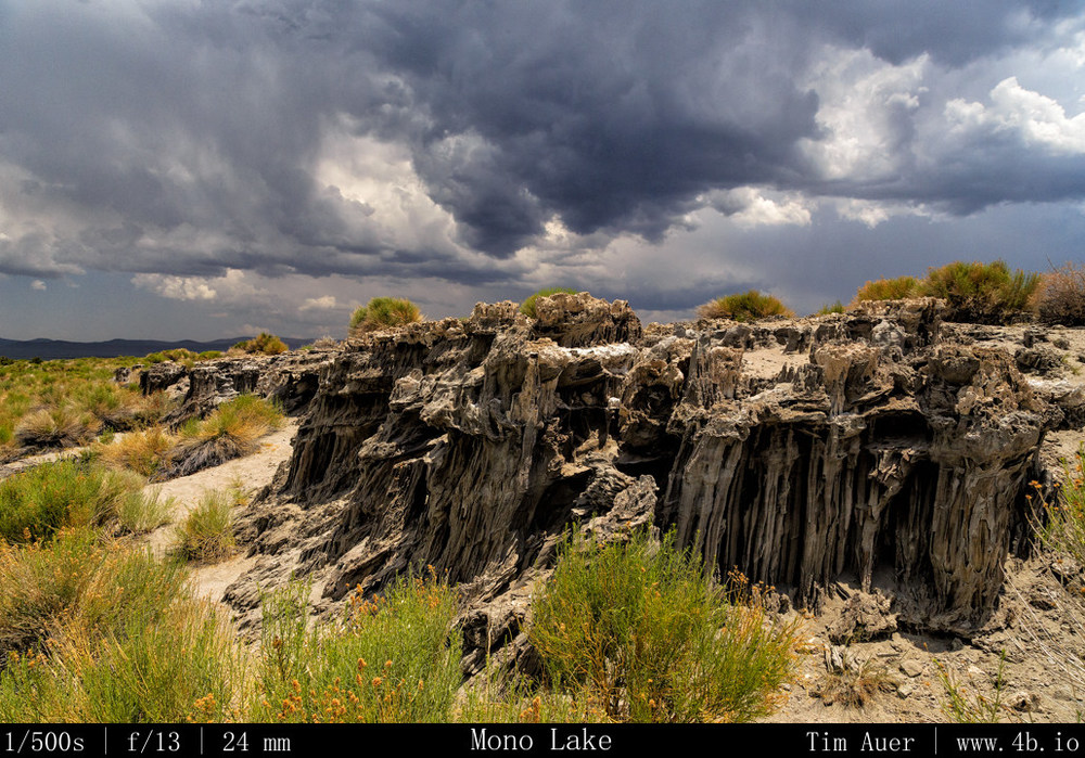
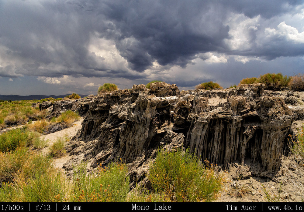
A “Tufa” is a rock formation that forms under water at the site of a mineral rich spring.  They can be thought of as petrified springs made of calcium and carbonate, or limestone. Many of the exposed Mono Lake Tufas are geologically young, being only 600 years old. All of the formations are extremely fragile and readily crumble to dust if trod upon.  Care should be taken to not touch or step on these formations.  

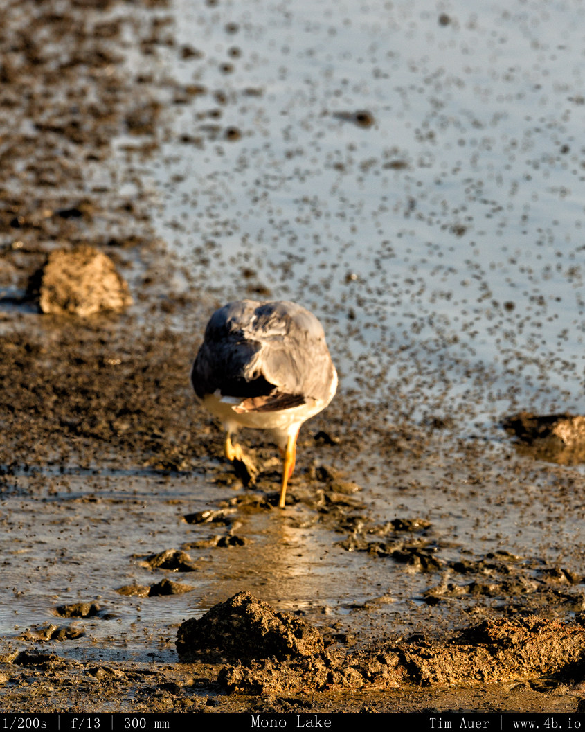
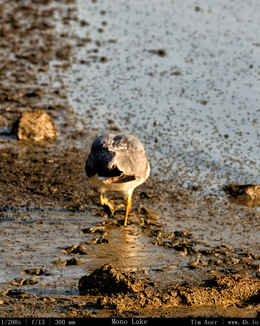
Note the Alkali flies in foreground on the lake surface

The highest concentration of tufas at Mono Lake are at the South Tufa Area. Coincidentally enough the South Tufa area happens to be on the southern side of Mono Lake.  This presented me with a challenge: due to the SSE rise of the galaxy (see previous post), I knew it wouldn’t be easy to find a land based vantage point that included both the lake + tufas in foreground.  I spent the rest of the morning and into early afternoon contemplating the photographic possibilities.  Walking along stretches of the north, west and south shores of the lake, I scouted potential sites.  Despite the challenges of the south-side, I settled on a couple locations in South Tufa, and one spot near Navy Beach with “sand tufas” as potential spots, and noted their positions.  Later on, due to the weather, I was relieved to have these multiple options. With my scouting finished, it was time to drive to Bodie State Historic Park and explore the ghost town for the rest of the afternoon.

Tufa on Mono Lake
Tufa on Mono Lake

By afternoon, thunderstorms came to the area and seemed to just hang there.  I am not familiar with the weather patterns of the eastern Sierra yet (something else I hope to learn), but suspect the higher than average humidity in Mono Lake area had something to do with it (50% relative humidity is considered muggy here).  Thunder began to rumble in the east as I left Lake Mono, and continued rumbling the entire time I was in Bodie.  On the drive to and from I hit pockets of downpours and quarter sized hail.  

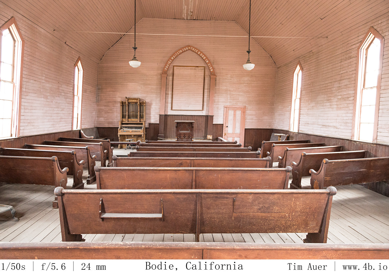
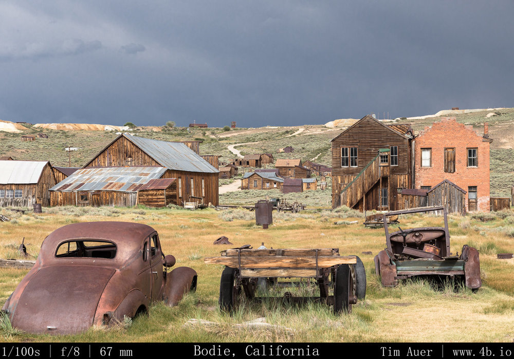
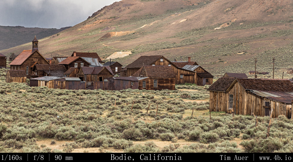
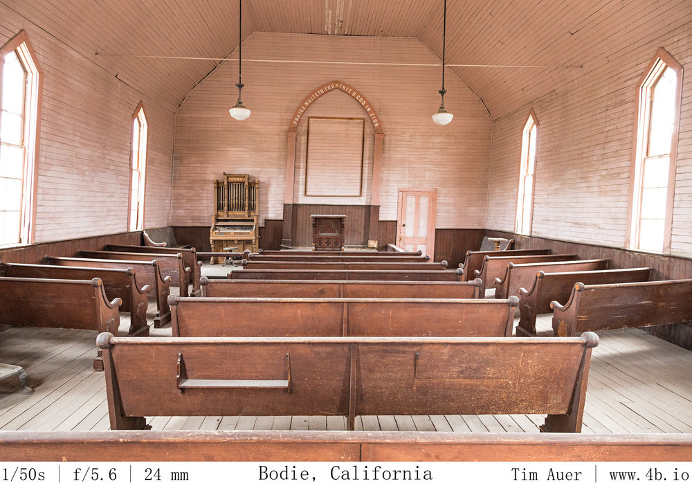
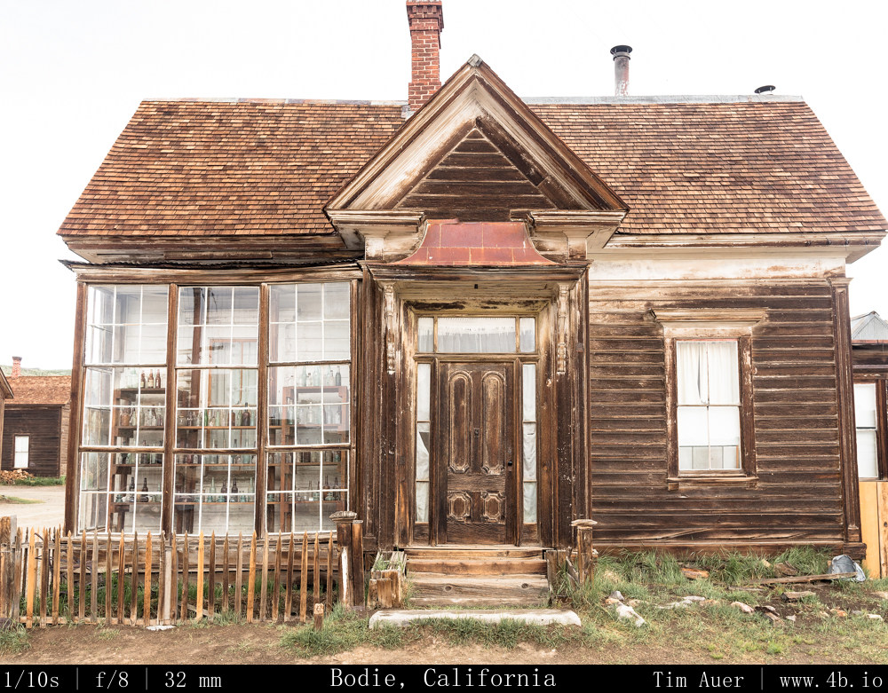
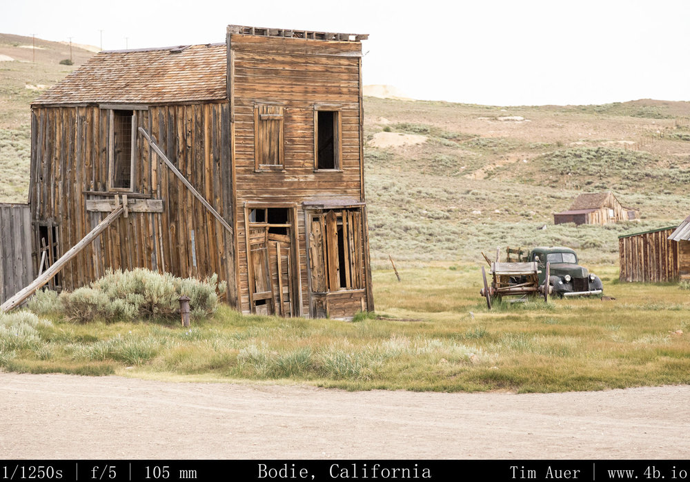
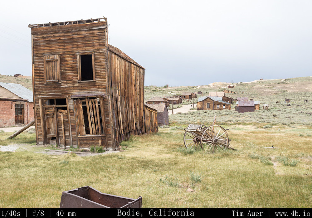
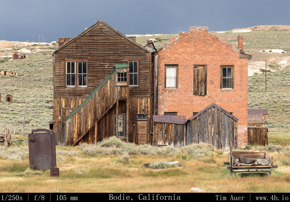
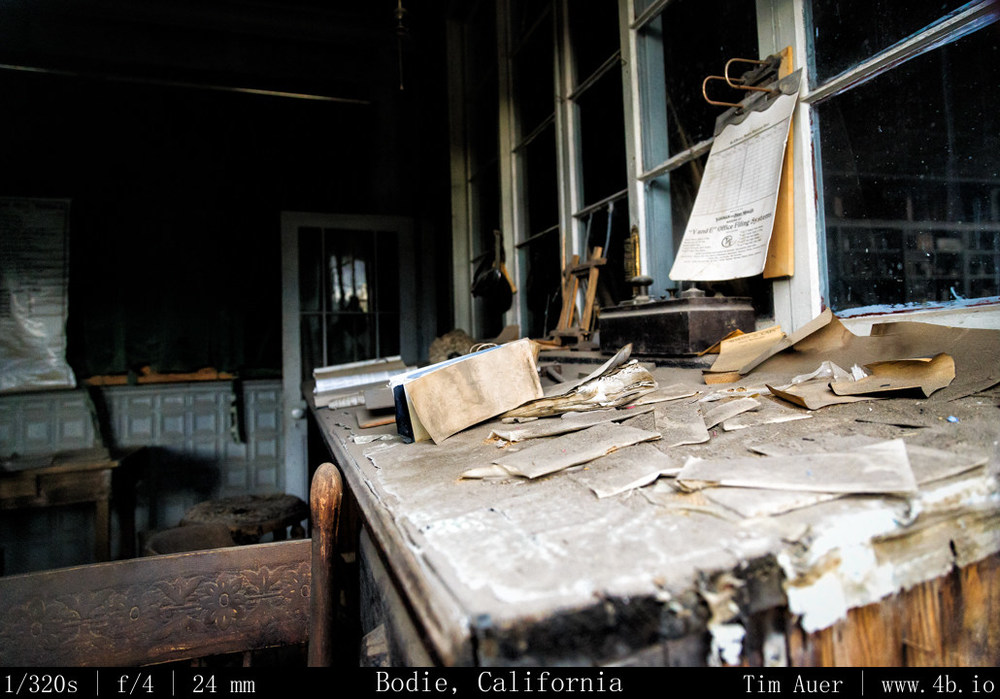
Bodie Ghost Town was really neat! It made me feel like a kid again, and I wished I had worn my cowboy hat and rode in on a horse with a BB-gun strapped across my back.  To be honest, considering the road conditions leading up to the town at its 8400 ft elevation, a horse would may have been the better way to travel.  The final seven miles of road are unpaved and very rough.  Upon my arrival at around 14:00, the town was crowded, but seemed to be slowly clearing out,  I expect the lingering storms and Fourth of July plans were responsible.  I wandered the town for a several hours, contemplating what life was like at the height of this 1880s gold-rush boomtown.

What struck me as especially interesting was the sheer impracticality of the town, especially in winter.  It would be an understatement to describe the climate as being harsh. The combination of exposure and high elevation makes Bodie one of the coldest spots in the lower 48, with routine 100 MPH winter winds.  Keeping warm in a thin-sided house without insulation required a lot of firewood, and the town burned 100,000 cords each winter. Problem was there are no trees growing on the windswept Bodie hills, so a railroad was built to connect Bodie to a lumber mill near Mono Lake.   I guess these hardworking miners coped with this climate by adopting a hedonistic lifestyle, evidenced by the town’s featured recreational opportunities.  Which seemed to consist of heavy drinking at one of the ninety(!) saloons, smoking opium at a den in Chinatown (yes, there was a Chinatown), or patronizing your favorite whorehouse (which were conveniently located directly behind or connected to those saloons).  So given the town’s economy and its wild-west lifestyle, it comes as no surprise that life there was unsustainable when the mines ceased to provide precious metals.  The miserable winters probably didn’t convince people to stay either. 

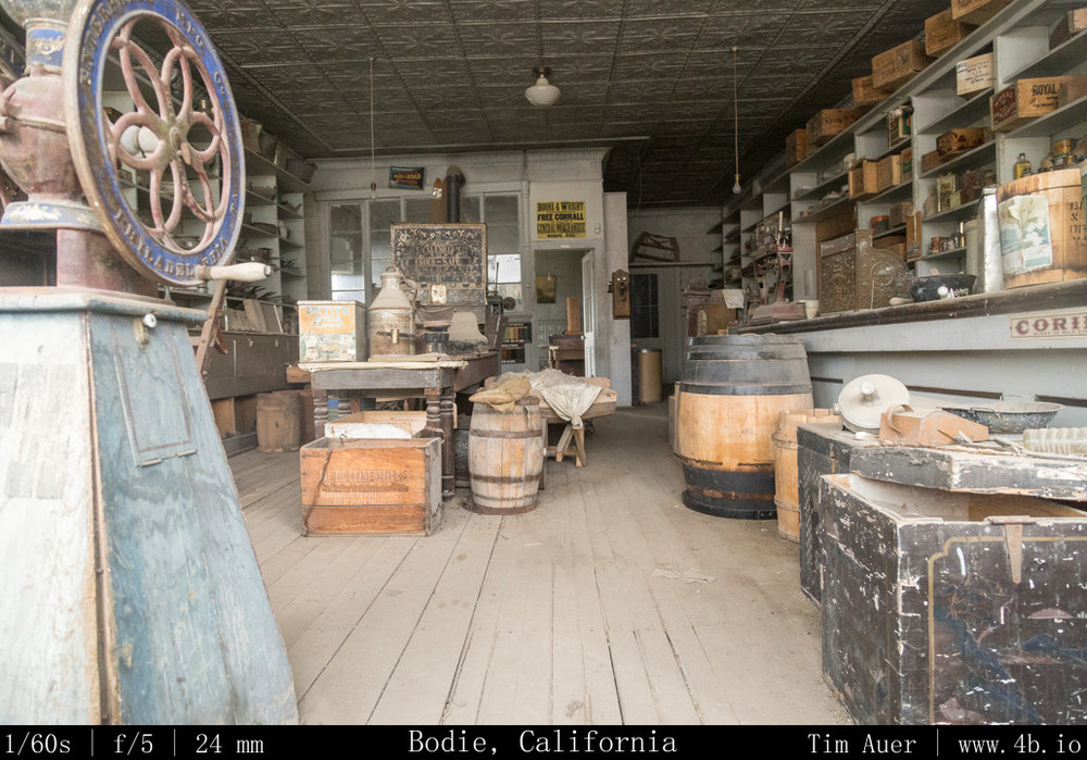
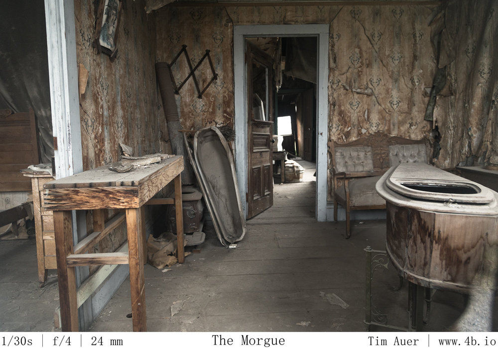
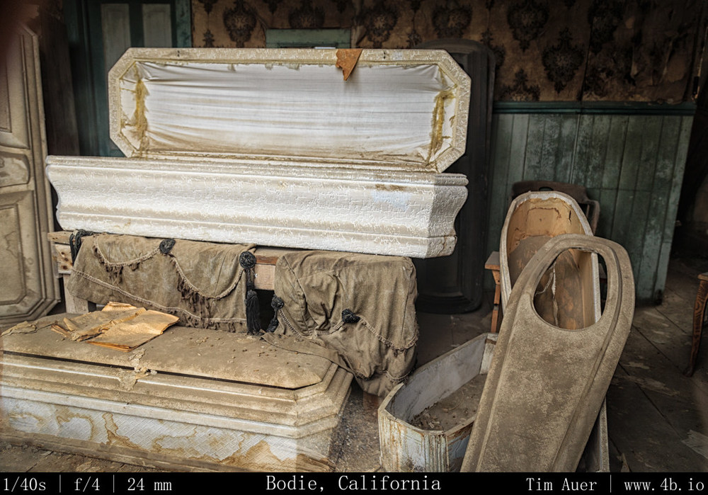
I feel it is also important to mention, this not a Disney-fied theme park.  There are no props, the artifacts are not staged.  All the objects you see while peering through the windows were found somewhere inside that respective building.  

For those not familiar, Bodie State Historic Park contain remains the old mining town Bodie.  At its height, before the turn of the century, the town housed 10,000+ inhabitants. This heyday turned out to be short lived and the residents began to leave about as quickly as they had arrived.  While a few stranglers toughed it out a few decades into the next century, the majority did not.  Businessman J.S. Cain bought up most of the township and surrounding mines as they became available, and actually squeezed bit more profit out of the hills, extracting gold and silver left behind in the first wave.  He also made an effort to preserve and protect his hometown from vandals and the elements and leaving us with the wonderfully preserved Ghost Town we have today.   

In terms of my visit and the photographic opportunities, I was rewarded with empty streets and soft light, courtesy of the storm clouds.  I exposed to right by a 1/3 or 2/3 of a stop to emphasize the warm brown tones of the wooden structures, and waited for the few moments when the sun peaked through the clouds for a bit of dramatic lighting.  This place is really cool and would be worth a visit even with harsh light and jammed streets. 
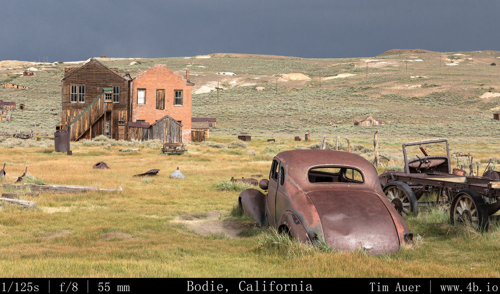
Highlights: Church, general store, car graveyard, boothill, bank vault, human graveyard. 

Next up…Mono Lake after dark…

Part 2 Dismal Side: July 4, AM- Eastern Sierra Welcome

July Fourth Weekend Photo Road Trip to the Eastern Sierra Nevada: The Dismal Side of the Sierras, Part 2

Bridgeport, CA; Mono Lake; Lee Vining 

Wednesday, July 3, 2013

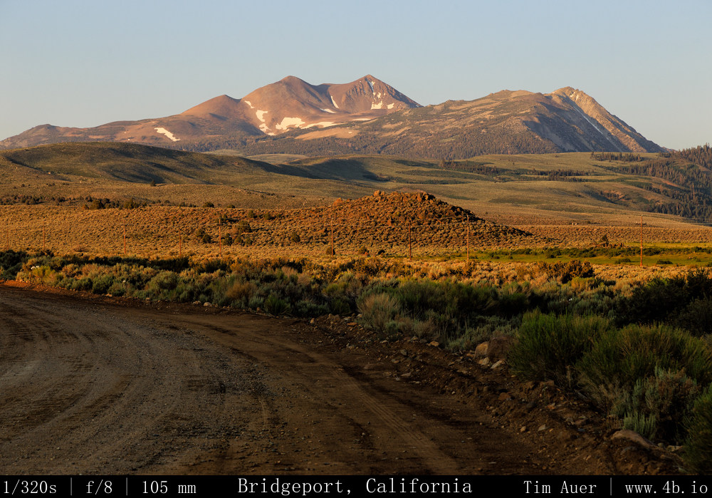
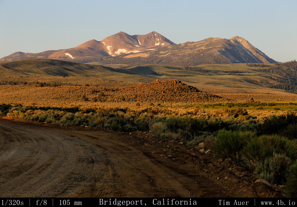
After finishing work and taking a two hour nap Wednesday evening, I reset the odometer on my car and departed Mountain View at 20:30 Wednesday night.  By leaving late, I hoped to miss the holiday traffic, wishful thinking of course. Delayed by the congestion, I drove for about 6 hours, crossing the Sierras at Sonora Pass on Rt. 108 at approximately 01:00 Thursday morning.  This isolated road is not particularly fun to drive in the dead of night.  It is extremely windy, narrow, strewn with rock debris, and 26% road grades on both sides of its peak.  I kept it in 2nd gear in these stretches. One hour after crossing the pass, I was driving through Bridgeport, CA and decided called it a night, so I pulled off at Green Creek Rd and took a rest.  The 2AM sky here was clear and bursting with stars.  I knew this was going to be a worthwhile trip!

Thursday, July 4, 2013

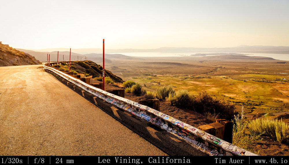
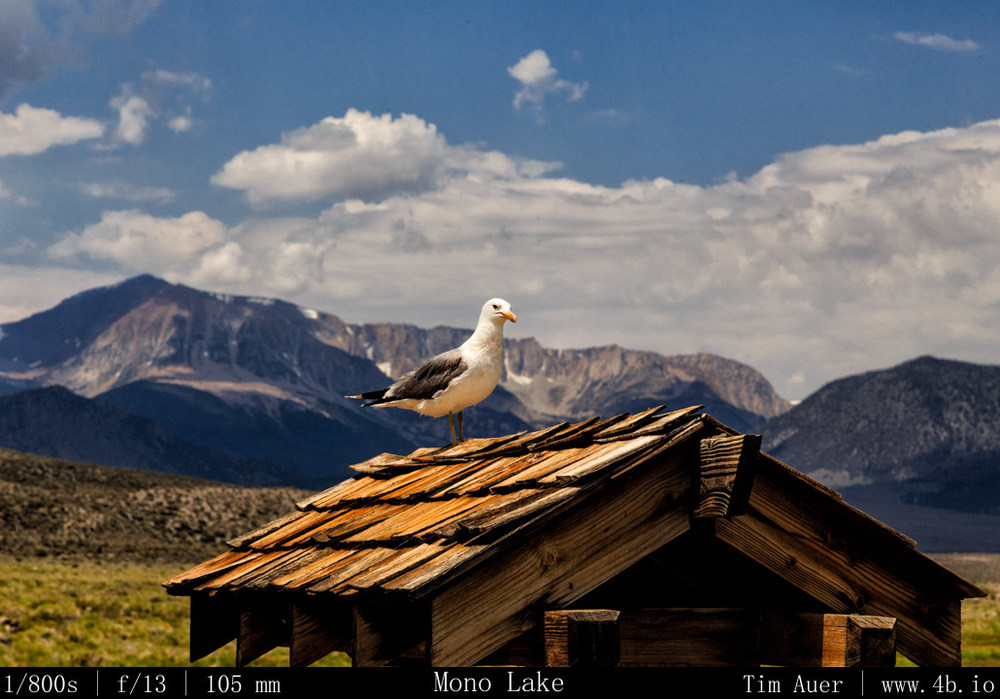
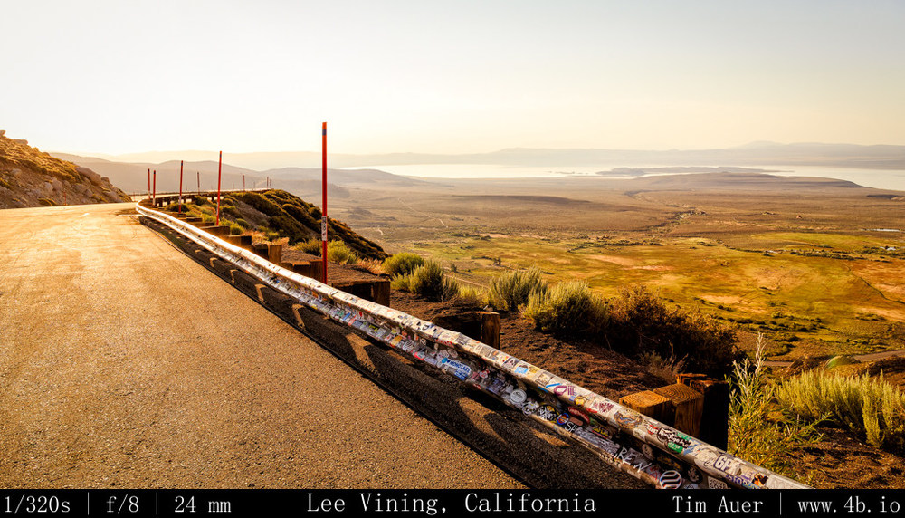
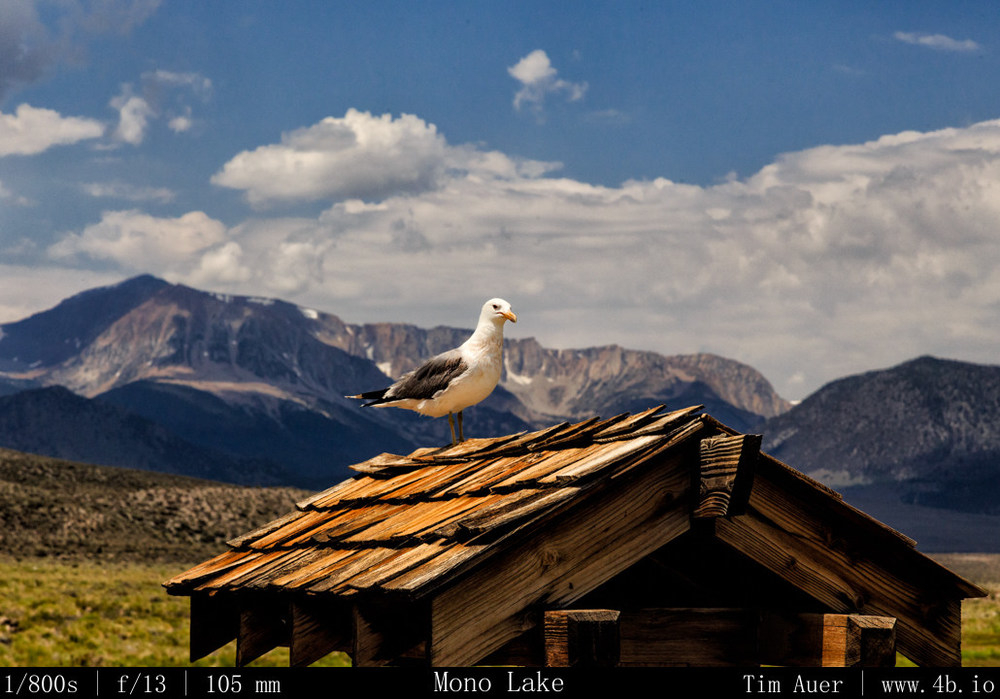
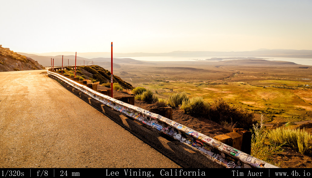
I woke up at 05:00 when farm vehicles rumbled past me on the gravel road. I felt awake and refreshed.  In the twilight of dawn, I took in the scenery of the Hoover Wilderness to the west of me and felt even more invigorated.  I ate an apple, brushed my teeth, and was on the road by 05:30.  Mono Lake was my first destination.  On my approach I stopped at some of the vista points along 395 and arrived to the lake at 06:15.  Already too late for sunrise, I stopped first at Old Marina and watched the California Gulls dance in the mud to catch Alkali Flies. But having missed sunrise, I mostly took the morning easy.  Had breakfast at Nicely’s in Lee Vining and went on the morning ranger walk at the South Tufa Area.  Now with a  deeper appreciation of the lake, I began to scout positions for the evening’s photography session….
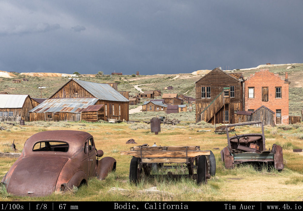
Next up – Ghost Towns + scouting Mono Lake

Part 1 The Dismal Side of the Sierras: Milky Way + more

July Fourth Weekend Photo Road Trip to the Eastern Sierra Nevada: The Dismal Side of the Sierras, Part 1 

Locations/Sites:
Bridgeport, Mono Lake; Bodie Ghost Town; Inyo Mountains; Lone Pine; Alabama Hills; Mt. Whitney; Bishop; White Mountains; Bristlecones; Death Valley (glimpse); Volcanic Tablelands; Red Mountain Petroglyphs; Yosemite(brief)
In total: 1022.5 driving miles.

see maps below for details

 When:

July 3 @20:30 – July 7 @12:30.

Background

To be clear, there is nothing “dismal” in the conventional sense about the backside of the Sierra Nevada, its my preferred side.  This region, from Mono Lake through the Owens Valley to Lone Pine, is a special, timeless place, like nowhere else I have ever visited.  I call it “dismal” because this rain shadowed strip of land, flanked on both sides by 14,000 ft. peaks, is a harsh and unforgiving environment, dotted with ghost towns, sage brush, salty alkali lakes, rattlesnakes, and tumbleweed.  Surviving here is not a trivial undertaking, and most humans are not up to the challenge, as evidenced by the ghost towns.  Yet in the midst of such adversity, life exists, sometimes thrives.  The ancient Mono Lake, sometimes called a dead sea, teems with life.  The Earth’s longest lived organisms are found here, the Bristlecone pine.  Some of these spectacular trees took root in the nutrient poor dolomitic soil of the White Mountains hundreds of years before the first pyramids of Egypt went up, and still hold onto life to this day.  Of course, not all Bristlecones last over 5,000 years.  There are special considerations to account for such longevity, but it might not be what you expect. Lower elevation Bristlecones, with the relatively abundant resources, are not nearly as long lived as their resource scarce brethren at 11,000 feet.  The longest lived of the Bristlecones do not survive in spite of their harsh environment, but because of it. The weathered towns and dry landscapes even appear sepia-toned, accentuating this timeless feeling.  All of these factors distort our perception of time, creating a sensation of time-travel when visiting this part of the world. 
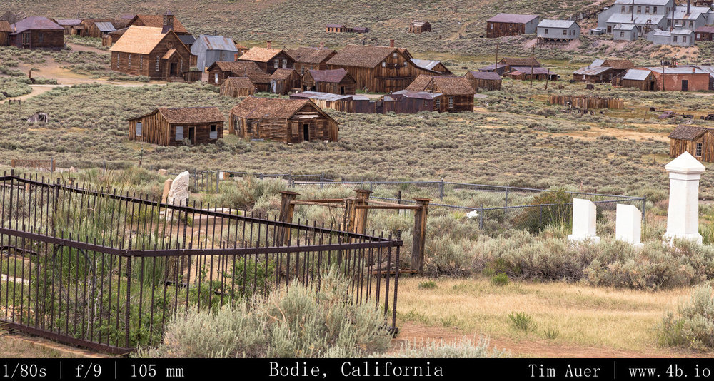
A few days before

I scouted locations in the Eastern Sierra Nevada that I felt would be interesting to photograph, with an emphasis on time-lapse, long exposures, and Milky Way/astrophotography.  I loosely developed a route, taking into consideration ways to best optimize the lighting conditions at each location.  The plan was not set in stone, and flexibility was key.  I had no reservations, nor had I researched hotels or campgrounds.  Not that anything would be available last minute Fourth of July weekend.  The plan was to sleep in my car as much as possible.  Hotels and campgrounds offer conveniences that may distract me from my photography mission (photographing the night sky). In my opinion, the 2 or 3 hours spent in a hotel room would be a waste for someone staying out past 01:00 and rising before sunrise.  Plus given my nature, I knew I would be less likely to rouse at 04:00 to catch the sunrise while snug in a hotel room bed.  To combat my inherent laziness, I resolved to “sleep” as close as possible to the sunrise locations.  I call it “sleep” for lack of a better term.  It would more accurately be described as a nap between 01:30 and 04:30.
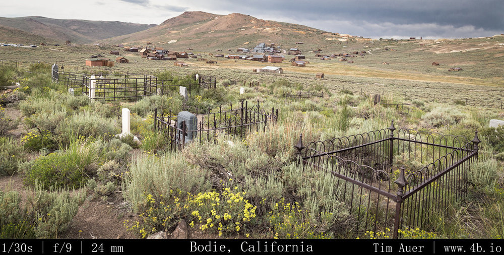
The month of July is a great time to photograph the Milky Way. There are a couple reasons for this.  The first being it is the height of summer in the Northern hemisphere, and the sun follows a more northerly path, setting in the north west.  Therefore, the darkest sky will be in the South-East, opposite the sun. This piece of sky happens to be roughly where the most concentrated piece of our galaxy is  at sundown.  The Milky Way can be found at the horizon In a South-South-East direction, in-between the constellations Scorpius and Sagittarius.   The sky opposite the sun receives less lingering twilight, darkens quicker, and reveals the Milky Way at the horizon.  The other reason is the waning crescent moon wouldn’t rise until after 03:00 this weekend. The perfect combination for dark skies!

As my reference points for my composition, I used the constellations Scorpius and Sagittarius, plus the position of Saturn, which reveals itself earlier than the stars and was roughly due South.

Additionally, I hoped to visit some cultural sites in the area to complement the nature scenes.

Additional Research

To further my understanding of the Eastern Sierra skies, I studied the position and movement of the stars using the open-source Stellarium software.  I plugged in the latitude and longitude of the locations, adjusted for elevation and let it play, introducing myself ahead of time to what I hoped to witness in person.  This knowledge was key in my scouting exercises. 


Day 1 Map/Route


View Larger Map

Day 2 Map/Route


View Larger Map

Day 3 Map/Route


View Larger Map

Day 4 Map/Route


View Larger Map